Introduction to today's journey
Today's journey departs Mapleton National Park, crossing farmland near Yandina before crossing a bridge over the Bruce Highway to North Arm village. From here I continue passing through farmland before entering the beautiful forest of the Eumundi Conservation Park hiking its length to the historic town of Eumundi where I complete the third leg of the trek.
Distance hiked today: 23.4km
Total distance hiked: 441.1km
Today's Journey
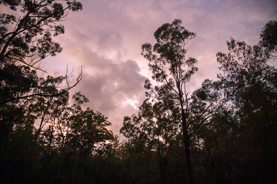 |
The cloud begins to clear following overnight rain here at Brown's Creek Road as a bright purple dawn breaks. |
 |
I set off along Brown's Creek Road towards Yandina heading out of the northern end of Mapleton National Park. |
 |
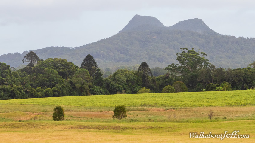
Once out of the national park, I reach the first of the residential area of Yandina and turn off along Lees Road, then Bunya Road passing through rich farmland as more rain showers fall. |
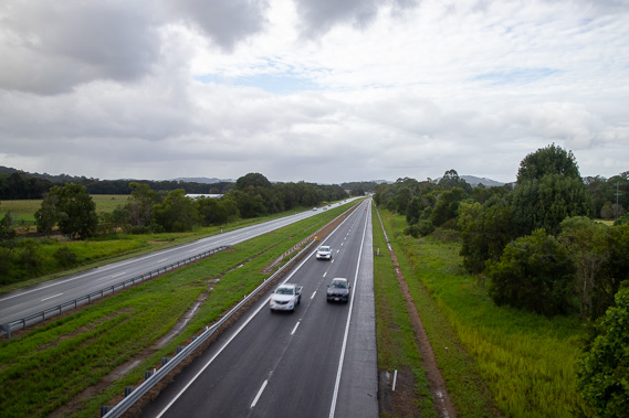 |
When I reach North Arm, I cross a bridge over the Bruce Highway 112 kilometres north of Brisbane (comparing my somewhat less direct hiking route of 432 kilometres to this point). This is part of the M1, the world's longest highway going all the way around Australia over 14,500 kilometres. |
 |
Shortly after crossing the Bruce Highway I cross a bridge over the Maroochy River 36 kilometres upstream from its mouth at Maroochydore. From here, the road passes through more farmland for several kilometres before entering more forest as I approach Eumundi Conservation Park. |
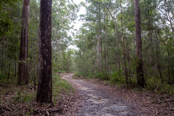 |
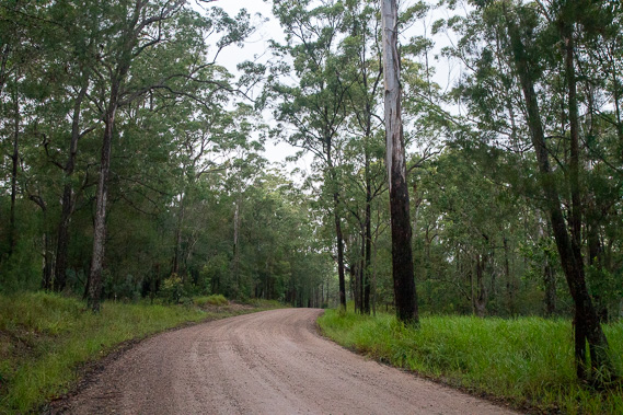
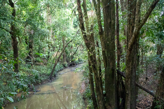
A long hike leads northward through Eumundi Conservation Park along one of the old dirt roads now a network of walking tracks passing over hills, above swamps and through cedar forest and rainforest. The park was once a military training area before being declared a conservation park in 2009. |
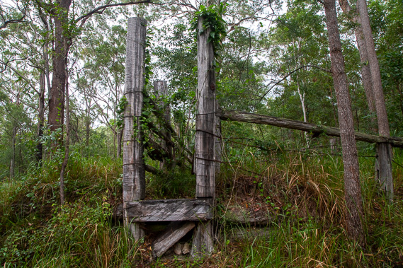 |
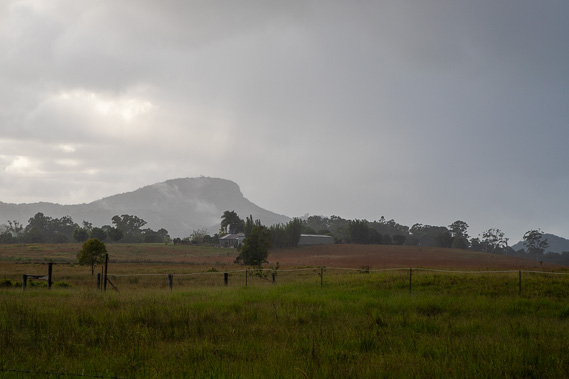
Deep in the bush I pass the remains of a cattleyard and a nearby dam, the only evidence of previous use (apart from all the walking tracks) of this area. From here I head towards one of the park's exits to follow the peaceful Sieb Road through acreage farmland. |
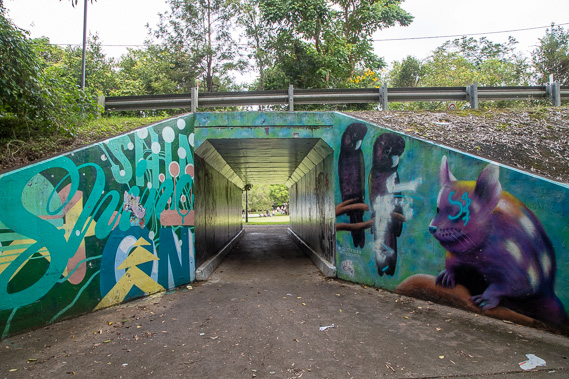 |
It is not long before I reach Eumundi, passing under a colourful underpass under the main road before reaching the town centre. |
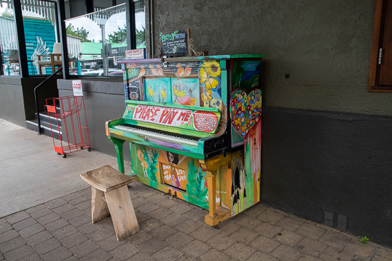 |
The historic town has a lot of character, including this very colourful and out of tune piano outside one of the pubs. |
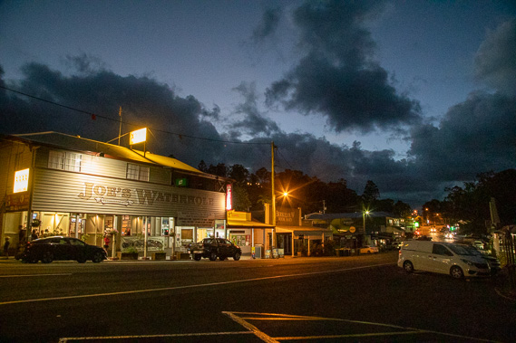 |
I settle into the village for the night as the sun goes down and rainclouds linger overnight. The town was settled in 1890 when the railway line was built through here. It is believed to have been named after a local Kabi Kabi warrior. |
|