Introduction to today's journey
Today's journey starts with a glorious sunrise at the Noosa Botanical Gardens before I follow the track back across Six Mile Creek and onto the start of the Wahpunga Trail (trail number 4 of the Noosa Trail Network). This follows the western end of old Tewantin Road before heading through some old firebreaks and along Louis Bazzo Drive, and Cootharaba Road before heading along the top of the Wahpunga range along the old Simpson's Road firebreak. Just after the Shepperson Campsite, the track descends along a spur into the valley and along Shepperson Road, then to Gympie/Kin Kin Road where my trail leaves the Wahpunga trail and follows the road another two kilometres to today's destination at a rest area where the Wahpunga School was once located.
Distance hiked today: 24.1km
Total distance hiked: 500.2km
Today's Journey
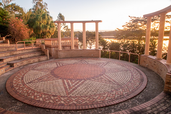 |
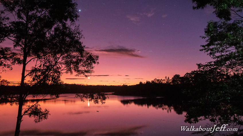
I watch the sunrise over the lake from the ampitheatre in the Noosa Botanical Gardens before starting the long hike along the Wahpunga Trail. |
 |
After crossing Six Mile Creek, the track reaches the western end of Old Tewantin Road and follows it through the quiet residential area at the back of Cooroy. Frequent markers confirm I'm on the right track - trail 4 of the Noosa Trail Network. |
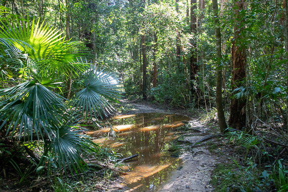 |
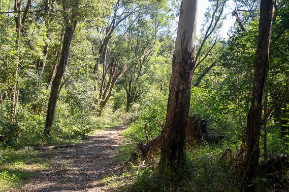
The trail departs the road entering Ringtail State Forest, following the very wet and boggy Old Coach Road now used only as a walking track. Although I am in the Mary River Catchment, this is a taste of what to expect in the coming days as I trek the Noosa Everglade. |
 |
Once out of Old Coach Road, the trail follows several firebreaks ascending through the dense forest. I pass a macadamia farm to the right at one stage, but otherwise the trail passes through the dense forest with no sign of civilisation. There are a few very faded wooden information signs indicating this part of the track was part of another trail in decades past. |
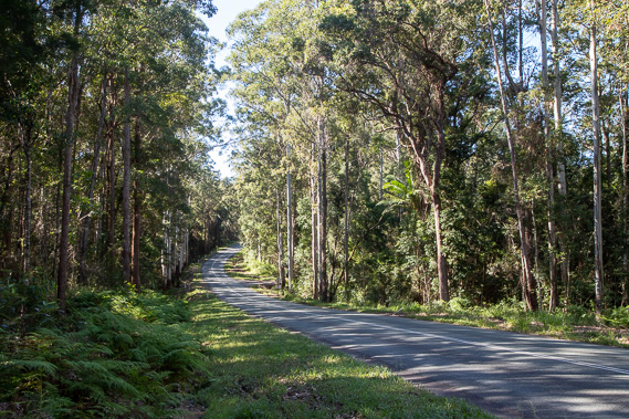 |
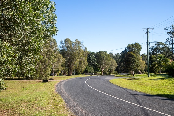
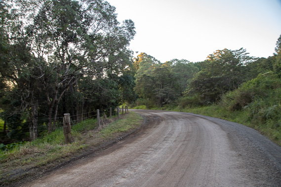
Eventually I return to civilisation as the crosses Louis Bazzo Drive, the main drag to Boreen Point at Lake Cootharaba. With the walking track damaged a little further in the bush and closed, I follow this road for about a kilometre before turning left along Cootharaba Road heading up a low ridge through farmland for about two kilometres before I meet the Wahpunga Trail again. |
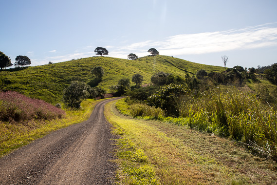 |
The trail continues following Cootharaba Road before turning off along the gravel Simpson Road continuing through farmland as it ascends towards the Wahpunga Range. |
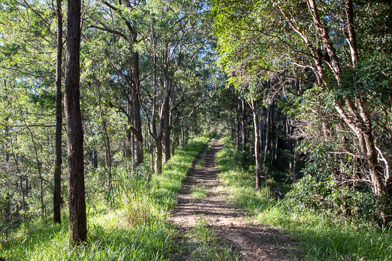 |
The road ends passing through a farm before entering another dense forest. The firebreak follows the extension of the road that never was heading along the top of the range through dense forest. |
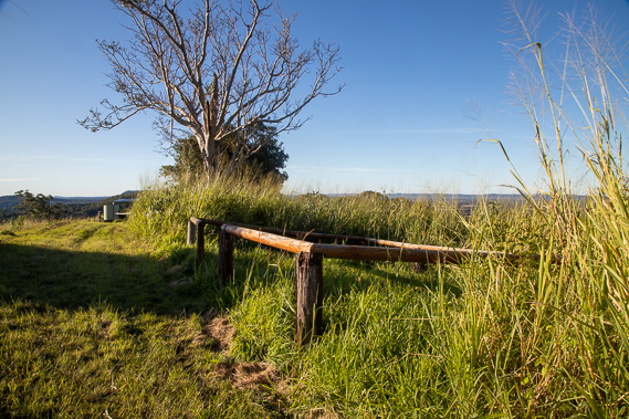 |
After reaching the highest point, the track gradually descends along the top of the ridge passing above a large quarry before reaching Sheppersons Camping Ground, complete with a small shelter and a small pen to tie your horses. From here there are views into Kin Kin Valley and across to the Noosa Everglade. It is very tranquil up here on this still afternoon, but would be very exposed during stormy weather. I am making good time and have a big day tomorrow, so I continue following the track which begins a moderate descent along a spur into the valley shortly after this point. |
 |
The track eventually reaches a small day use park where it branches off, with the western route heading over another hill into Kin Kin. I take the other route northwards along Sheppersons Lane and after a kilometre, reaching Gympie-Kin Kin Road which I follow northward (presumably towards Gympie). |
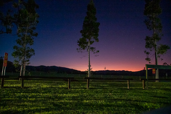 |
I arrive at a day use area marking the location of Wahpunga School which used to service the local farming community with children travelling here each day on horseback. The school opened in 1910 and closed in 1967 when bus transport from Kin Kin became available to this remote corner. |
|