Introduction to today's journey
Today's journey departs the old Wahpunga School site continuing along Kin Kin - Gympie Road through farmland until I turn off to follow the Cooloola Way dirt road, then turn off to follow Harry's Hut Road. I follow this road until reaching the start of the Boronia Trail which I follow down to Kin Kin Creek and meet up with the start of the Cooloola Wilderness Trail. From here I follow the wilderness trail downstream along Kin Kin Creek until reaching Lake Cootharaba where I camp at Fig Tree Point.
Distance hiked today: 22.4km
Total distance hiked: 522.6km
Today's Journey
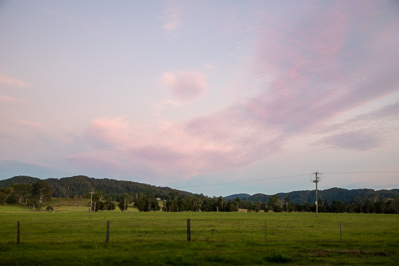 |
The sun rises over the valley as I start at the old Wahpunga School in the midst of spectacular farmland. |
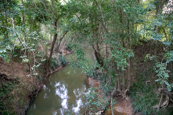 |
Shortly after leaving the rest area, the road I'm following crosses Kin Kin Creek flowing downstream towards the Noosa River at Lake Cootharaba. |
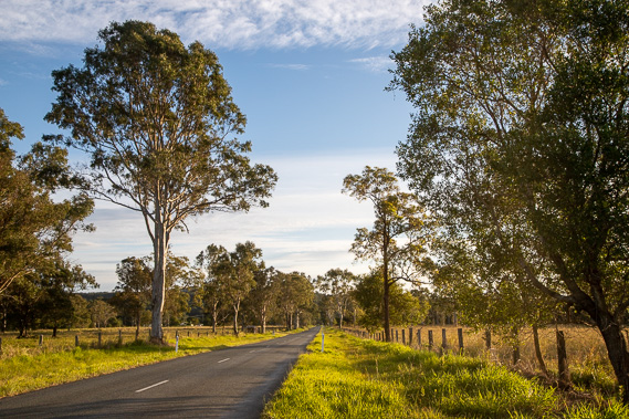 |
I follow-Gympie Kin Kin Road in the early morning sunshine as the lingering cloud thins out into clear blue sky. The road is long and straight for a few kilometres, but suddenly becomes winding through the forest as it heads up the next hill. |
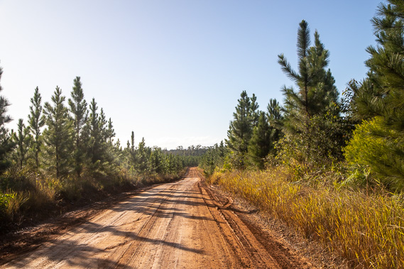 |
Once at the top of the hill, I reach the start of Cooloola Way, a rough dirt track heading towards Rainbow Beach Road. I follow this road as native forest gives way to pine plantations along the top of the ridge. |
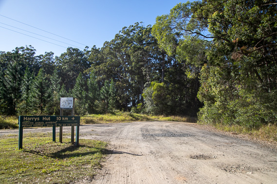 |
After several kilometres I reach Harry's Hut Road, which I follow descending off the hill into the flats below. |
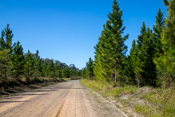 |
Harry's Hut Road continues for several kilometres heading towards the Noosa River, initially through pine plantations before changing to scrubby native bush as I enter Great Sandy National Park. |
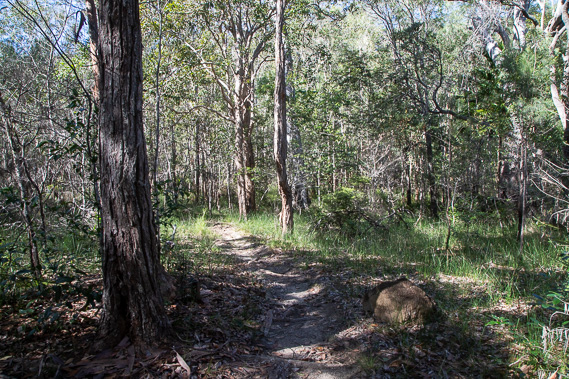 |
I depart Harry's Hut Road to follow the somewhat rough Boronia Trail through the scrubby bush over a low hill and descending towards Kin Kin Creek. |
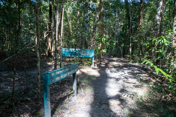 |
After about forty minutes I reach the end of the track where it intersects the Cooloola Wilderness Trail. The trail starts at Elanda Creek on the other side of the creek, but it is closed from here due to the bridge over the creek washing out in a flood in 2017 with no progress on getting it rebuilt to date. This therefore marks the southern end of the Cooloola Wilderness Trail which I will be following for the next two and a half days. |
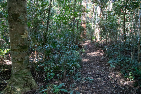 |
The track is open, but a bit overgrown and not well maintained. It follows the thick distinctive everglade forest over the swampy soil where numerous varieties of fungus grows over the track. Progress is slow and glimpses of the nearby creek are few and far between. |
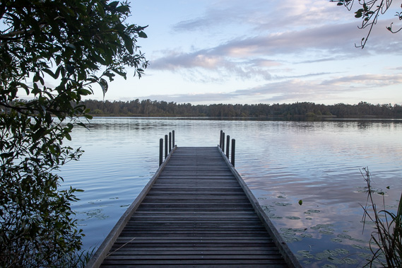 |
Eventually I arrive at Fig Tree Point camping ground at the edge of Lake Cootharaba at the point where the Noosa River flows into it to the left and Kin Kin Creek flows into it a few hundred metres to the right. It is a very nicely set up camping ground and day use area where kayakers and canoeists also use as a base from their trips up from Boreen Point before exploring the Noosa River. This was once an Aboriginal corroboree site. |
|