Introduction to today's journey
Today's journey is longer than usual with linking the Cooloola Wilderness Trail with the Cooloola Great Walk. I depart Neeb's Waterhole shortly after a spectacular sunrise, initially following the track back down the Noosa River before turning off following the Neeb's Waterhole service road. When I reach Cooloola Way, I follow it north to cross the only bridge crossing the Noosa River, before continuing another couple of kilometres to turn off along the Teewah Pump Road, then Mount Bilewillam Break, then onto Wildflower Road firebreak which I follow up onto the Cooloola Sandmass where I reach the great walk at the top of a saddle. From here I follow the great walk northward for another ten kilometres before reaching Kauri Walkers' Camp.
Distance hiked today: 29.5km
Total distance hiked: 585.1km
Today's Journey
 |
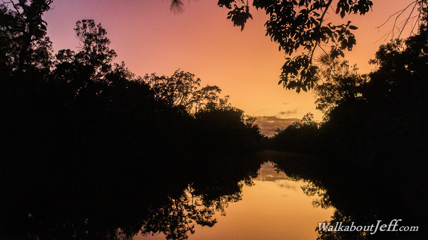
Following a dramatic sunrise over Neeb's Waterhole, I depart the camping ground retracing the Cooloola Wilderness Trail to the junction where I continue following the Neeb's Waterhole Service Road. Today I aim to link the Cooloola Wilderness Trail with the Cooloola Great Walk. |
 |
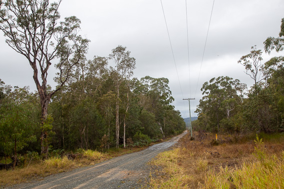
An hour after leaving Neeb's Waterhole, I reach Cooloola Way, which I follow northward. This is the main four wheel drive road heading through the middle of the Cooloola Wilderness. I had hiked the first few kilometres of this road at the southern end two days ago and have now returned to the northern end of the road heading towards Rainbow Beach Road. |
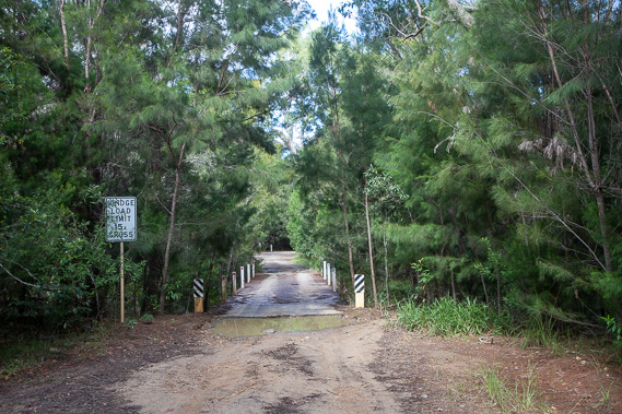 |
After following the road for nearly two hours, I reach the one and only bridge crossing the Noosa River. The only other crossing of this river is the Tewantin to Noosa North Shore ferry which I will be using during the coastal section of this trek. |
 |
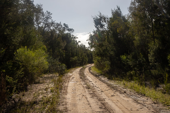
About another hour after crossing the Noosa River, the gradually climbing road reaches the Teewah Pump road, which I turn off and follow towards the Cooloola Sandmass. About six hundred metres along this track, I turn off to the left to follow the Mount Bilewillam Break which I follow to the small bridge crossing Teewah Creek. |
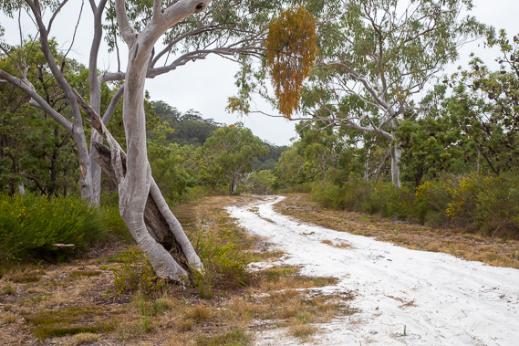 |
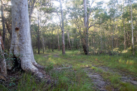
Once across the narrow Teewah Creek bridge, I follow Wildflower Road firebreak which ascends the lower part of the Cooloola Sandmass. The exposed track is a brilliant white from the pure silica sand making up the enormous sandmass. After crossing the Western Break 4WD road, the track rises steeply to the top of the Cooloola Sandmass. |
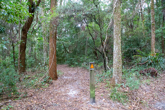 |
Upon reaching the top of the sandmass, I find the Cooloola Great Walk track at the top of the saddle. From here I turn off Wildflower Road and follow the great walk northwards. It has been a long and intense day so far, but there is still another ten kilometres to go before I reach Kauri Walkers' Camp. |
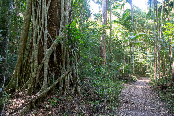 |
The track gradually descends into a long valley filled with rainforest, quite unexpected for a sand dune range. |
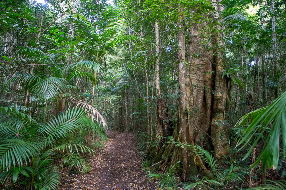 |
The rainforest continues for quite a long time and gets thicker as I continue descending the valley. |
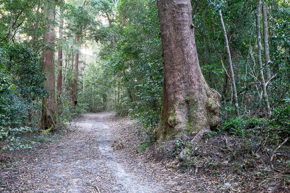 |
The track leaves the valley and crosses over another saddle from where the rainforest has been replaced with tall cedar forest as I continue northward through the Cooloola Sandmass. |
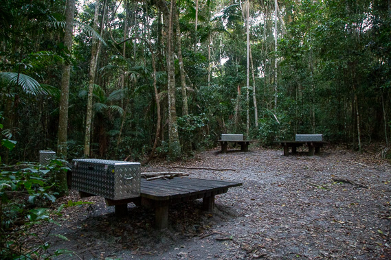 |
It is almost dark when I reach Kauri Walkers' Camp. The camping ground is set up in another patch of rainforest at the southernmost location of the Australian kauri Agathis robusta trees (not to confuse with the closely related New Zealand kauri Agathis australis). Here I quickly settle in for my final night of this leg. |
|