Introduction to today's journey
Today's journey takes us from the shores of the Strait of Magellan north westward to the small city of Puerto Natales, where we stock up and pick up three guides. From there we continue heading into the mountains, eventually reaching the entrance of Torres del Paine National Park, where we register at the entrance before setting up camp beside one of the park's many lakes.
Today's Journey
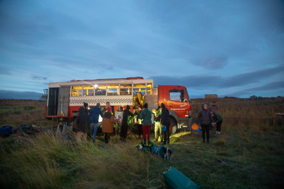 |
Breakfast shortly before sunrise on a very cold windy morning on the shore of the Strait of Majellan. |
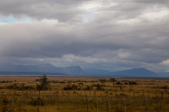 |
Heading inland bypassing Punta Arenas we cross the tundra grasslands towards the mountains along the west coast. |
 |
We stop at the port city of Puerto Natales on the shores of Golfo Almirante Montt to pick up our guides for the W Trek and some supplies. |
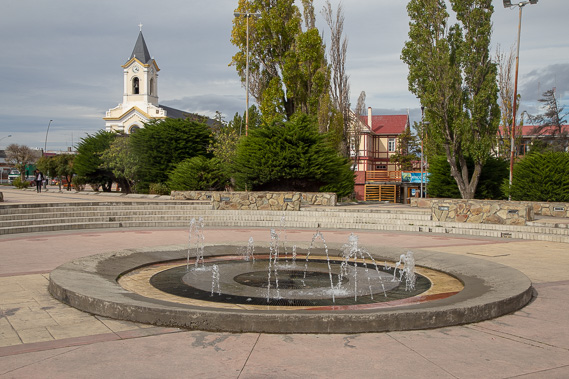 |
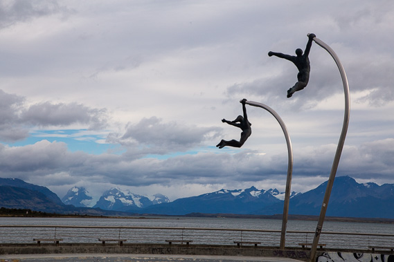
With a couple of hours to spare, we explore the inner city of Puerto Natales. |
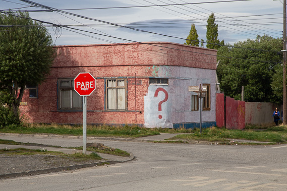 |
A building of unknown purpose and a stop sign in Puerto Natales. |
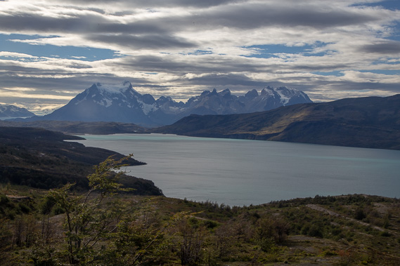 |
We depart Puerto Natales with our three guides heading around the harbour before following a valley upstream and over a small saddle to the spectacular Mirador Grey with the view across Lago el Toro to the spectacular mountains of Torres del Paine (literally meaning Blue Towers). The W Trek crosses the front of these mountains. |
 |
Heading down from the viewpoint we pass the lake and cross the Serrano River which drains the lakes around the mountains, reaching this floodplain before flowing to the large fiord at Puerto Natales. Here we sign in at the nearby national park headquarters - the Acceso Serrano Parque Torres del Paine. |
 |
From there it is a rough ride over gravel road into the mountains passing the channel of water draining Lago Pehoe into Lago el Toro. |
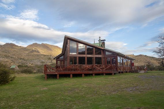 |
We eventually reach the Lago Pehoe camping ground where we are staying the night before starting the track tomorrow. |
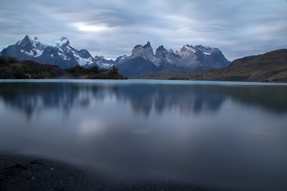 |
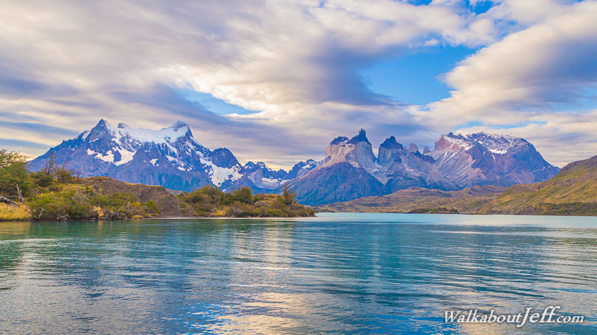
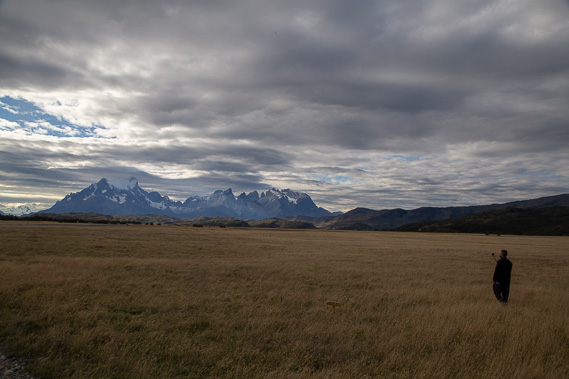
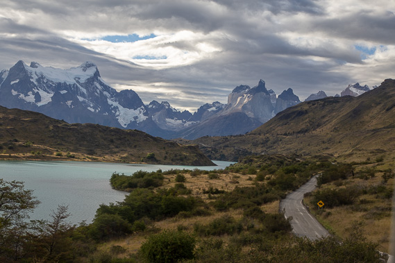
View of the mountains from the edge of Lago Pehoe beside the camping ground. This is one of the most spectacular views of the area. Tomorrow night we will be staying left of the mountain to the left. From there we hike in front of the mountains over the next two days before hiking behind them on our final day. |
|