Introduction to today's journey
Today's journey takes me back to Santiago airport from where I board a plane heading a third of the way across the Pacific Ocean to Easter Island. Upon landing I explore the town of Hangaroa and some of the coast for an amazing sunset.
Today's Journey
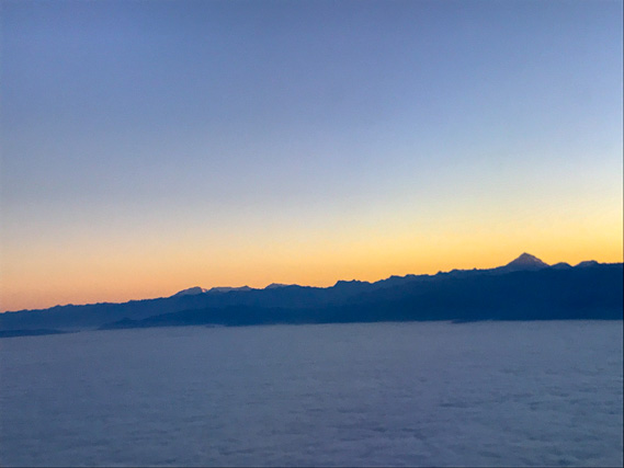 |
Departing Santiago in the early morning, we fly above the thick cloud which has accumulated over the city, but we now have a clear view of the Andes, including the triangular Mount Aconcagua towering 6961 metres above sea level. |
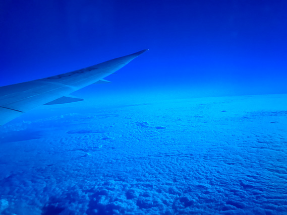 |
It is a long flight of 3700 kilometres over a third of the way across the Pacific Ocean to Easter Island, looking through the dark blue windows of the Dreamliner. The distance is a little longer than the total drive from Ushuaia to Santiago. |
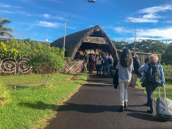 |
We eventually land in this warm island paradise set at the same latitude as Brisbane. Entering the island's airport which is still part of Chile. Although this is a domestic flight, I needed a permit in Santiago so I hand it over here. The runway is of a very high standard as NASA upgraded it as one of several emergency landing sites for the Space Shuttle (although it was never used). |
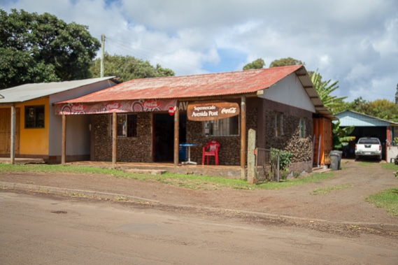 |
Heading into Hangaroa. This is one of several supermarkets in the village. There are no big shops and the food is expensive having to be brought over from Santiago. It is very laid back here being so isolated from the rest of the world. |
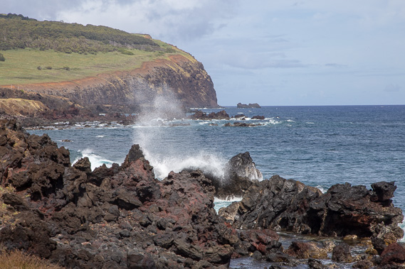 |
The island is volcanic, with very rugged coastline and waves breaking on the jagged scoria rocks. |
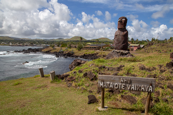 |
Heading towards the middle of Hangaroa, I spot a Moai looking back to a small military base. |
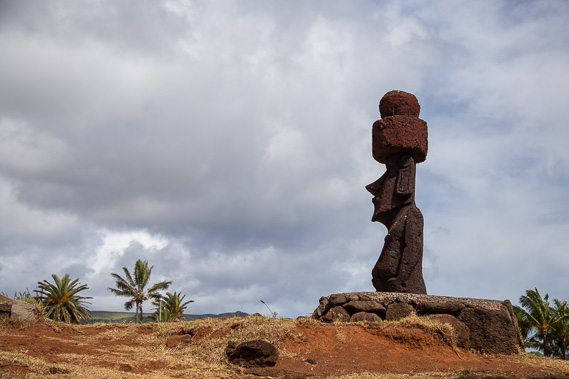 |
Heading through the town, I spot several more Moai, this one with a top knot indicating a high class ancestor. |
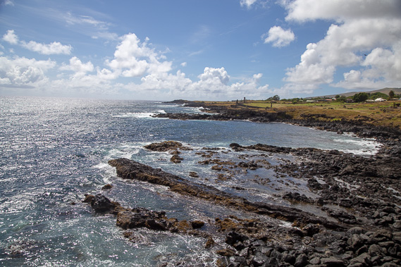 |
Looking northward along the coast, it is still very rugged with no beaches or anchorages, just jagged scoria formations. None of the cruise ships stop here, but I have seen a few yachts anchored offshore. |
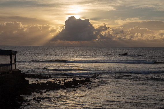 |
The sun draws low to the west, looking deeper into the Pacific Ocean. The nearest island in this direction is Pitcairn Island 1910 kilometres away. Tahiti is a further 1300 kilometres from Pitcairn. |
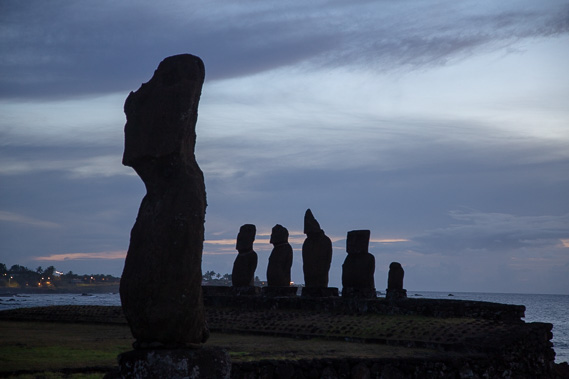 |
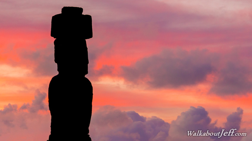
A group of Moai at Ahu Tahai after sunset looking towards the village. |
|