Introduction to today's journey
Today's journey takes me eastward along the coast stopping at a few ruins before reaching the impressive Ahu Tongariki. From there I head inland to the Rano Raraku volcano where most of the moai were carved out of the rock. After exploring this mysterious area I continue around the coast to Anakena, the island's only beach and first settlement near the top of the coast. We then return to Hangaroa through the middle of the island.
Today's Journey
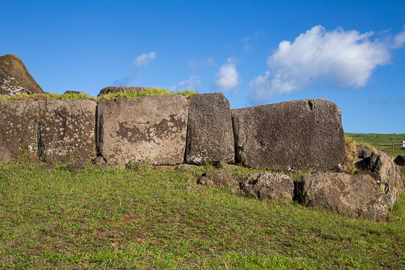 |
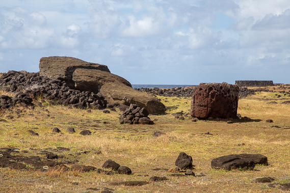
Heading north from Hangaroa, we stop just past the Rano Kau volcano at the end of the airport runway to the ruins of Ahu Vinapu. The first ruin being rubble made from basalt in the Easter Island tradition, but this nearby ruin is carved in a style and accuracy only known to Incan architecture, indicating the Inca once inhabited this island, though this site has been dated to 1200 AD, predating mainland South American Incan ruins. |
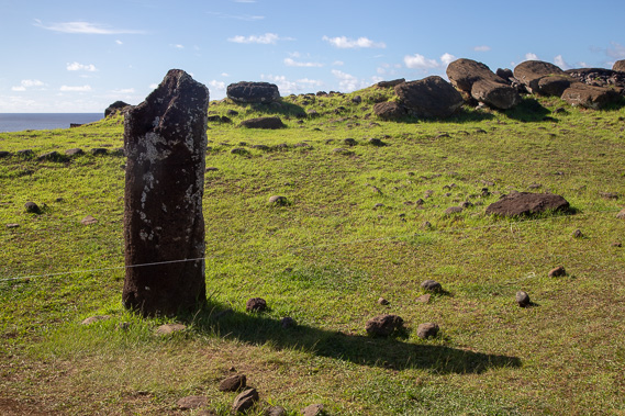 |
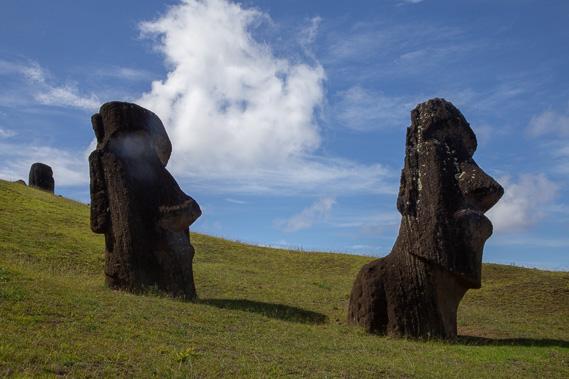
A short distance from the ruins is this Moai which is one of 12 female Moai on the island. |
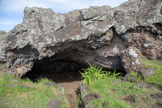 |
Heading up to the Ahu Vinapu cave a few minutes walk from the ruins. |
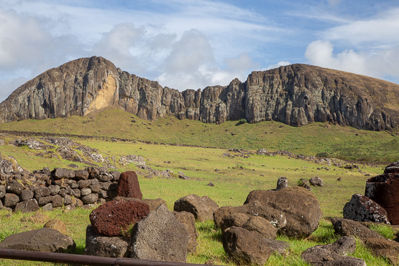 |
We continue following the coast to Ahu Tongariki and village ruins with the Rano Raraku volcano in the middle of the island forming a spectacular backdrop. |
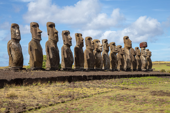 |
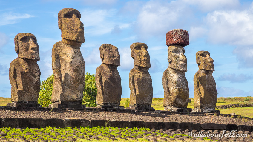
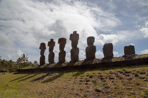
The 15 Moai of Ahu Tongariki. These were all fallen over during the island's civil wars and the village site was destroyed in the 1960 Chile tsunami. This sitewas restored in the 1990s to its current state. The largest of these Moai (the 11th one along) is the heaviest Moai restored at 68 tonnes. These all face the direction of the sunset at the winter solstice. |
 |
We head up to the Rano Raraku volcano where many Moai are set into the ground, and further up they are still in the process of being carved out of the rock when the makers stopped forming them. All the Moai on the island were carved from the volcanic tuff (consolidated ash) of this extinct volcano and transported from here around the island. |
 |
Near the top of the island at Ahu Te Pito Kura we see the fallen largest Moai on the island weighing 70 tonnes with its head broken, the torso split in half and the top knot lying upright to its right. |
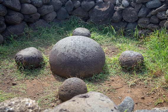 |
Nearby is this compass made from rounded rocks with a round wall built around it. |
 |
Heading to Anakena Beach (Easter Island's only sandy beach), we see the 600 year old Ahu Nau Nau Moai. It is believed the first Easter Island settlers settled and built their first village here before expanding to other parts of the island. |
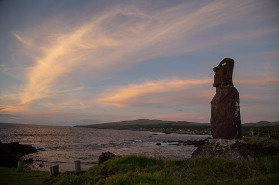 |
Returning to Hangaroa for another Moai sunset at Ahu Mata Ote Vaikava. This Moai watches over the wide bay of Hangaroa looking directly to the nearby military base. |
|