Introduction to today's journey
As late as 1925 the pedestrian could walk from Halfmoon Bay to the head of the Kaipipi Mill tramline, and striking thence through untouched forest, come up upon the line leading down to the mill at Maori Beach, Port Willeam, whence track and road lead him back to his starting point.
- Basil Howard, "Rakiura"
THE MOST extensive sawmill Stewart Island ever saw was one in the hidden valley at Kaipipi. William Gallon's sawmill was built on the Kaipipi Creek in 1861. A four metre high dam wall channelled the creek's water over a waterwheel which powered the mill. A tram line brought the timber to the mill, and out to the nearby Kaipipi Inlet where boats could take the cut timber out during high tide. Another mill was built nearby and at their peak in 1965, the two mills employed a hundred people to become the centre of Stewart Island's export industry shipping milled timber to Australia. In the years since the mills declined until eventually closing in the 1920s.
Today's journey departs North Arm Hut following the track over low saddles and above small beaches heading out of North Arm into the main waters of Paterson Inlet. The track continues to undulate along the coast eventually reaching Kaipipi Creek. From the historical site, the track continues heading out around the back of Kaipipi Bay to the end of the old Kaipipi Road near Burial Island. From there the track follows the old road over the hill to Mill Creek which it follows back to civilisation at Halfmoon Bay.
Today's Journey
Distance trekked today: 13.1 kilometres.
Total distance trekked to date: 34.2 kilometres.
 |
06:18 - Early morning at North Arm under overcast skies. The tide is out and the air is still. I relax here in the quiet tranquility before returning to the hut for breakfast. |
 |
07:20 - The last view of the hut as I leave after breakfast and packing up. Today's hike follows the southern shore of Paterson Inlet towards Oban, 12 kilometres and five hours away. |
 |
07:25 - Approaching the junction. Today I follow the track to the left. |
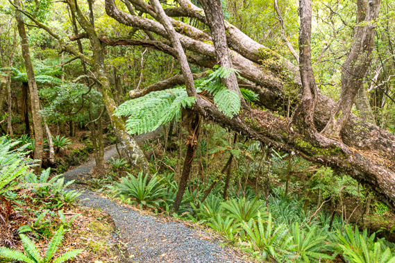 |
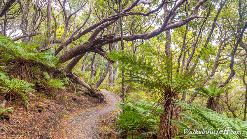
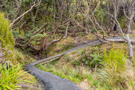
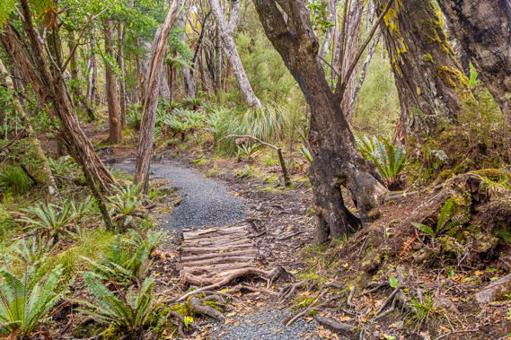
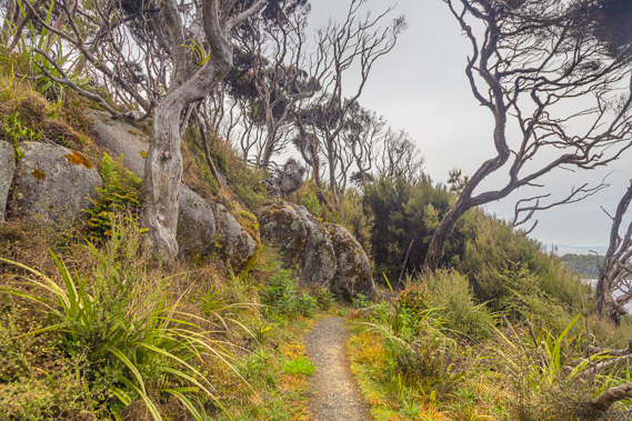
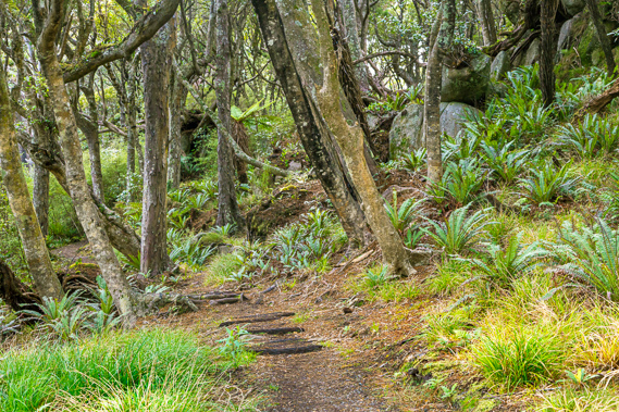
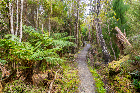
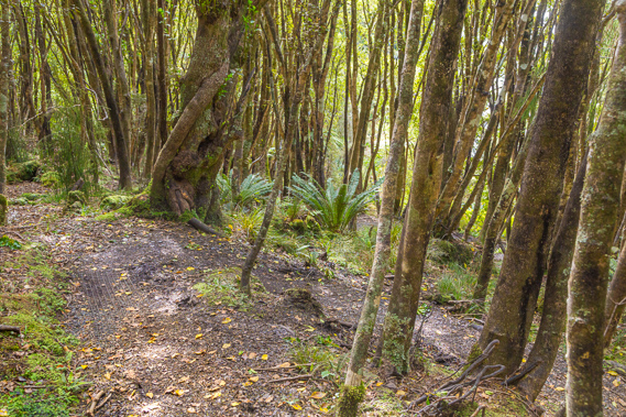
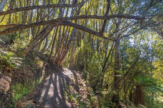
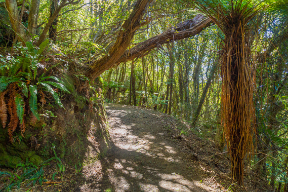
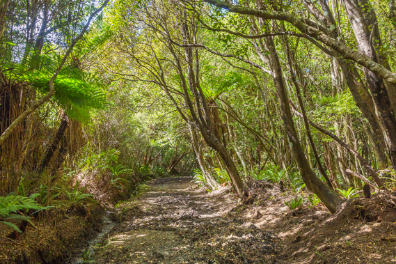
07:32 - The gravelled track winds through gullies in spectacular regenerating bush. There are a lot of bluffs along the coast, so the track stays inland a little giving only the occasional view of the water. |
 |
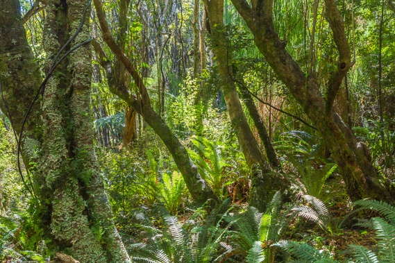
07:35 - Some large trees grow along the path, but these are tiny compared to the giants that once filled these hills before the timber industry arrives. Ferns create a sheltered undergrowth concealing the foraging wekas by day and kiwis by night. Both sleep in burrows. |
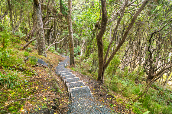 |
07:40 - After reaching the top of a 65 metre high saddle, the track descends some stairs towards another gully. |
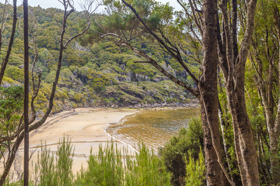 |
07:45 - View of a sandy beach near the entrance of North Arm. The windswept scrubby bush sweeps back from the beach testament to the southerly gales often blowing through here. Today the air is calm. |
 |
07:47 - The bush becomes scrubby as the track crosses a small stream above the beach. |
 |
07:54 - View across the inlet with the ruffled waters looking out through North Arm towards the main watershed of Paterson Inlet. This was a flat river plain during the last ice age when the sea level was 120 metres below what it is today. Stewart Island would have been joined to the South Island and this inlet would have been a broad forested or perhaps subalpine valley. The surrounding hills would have been too low for glaciers to form. |
 |
07:57 - Climbing up the other side of the beach with a final glimpse into North Arm, and across the hills where the North West Circuit crosses over towards Freshwater River. |
 |
08:09 - The terrain steepens as I round a few headlands towering out of the inlet. |
 |
08:17 - A makeshift wooden bridge crosses a gully washout. The frequent rain here is generally not as heavy as falls in Fiordland. This is due to the relatively low hills not blocking the prevailing north westerly winds. Sometimes though heavy rain does fall causing these little washouts in the track. |
 |
08:25 - Descending under a tree deep into the forest as I come off the headlands approching Sawdust Bay. |
 |
08:32 - At the bottom of the descent, a bridge crosses a broad stream. This is the same stream as the two creeks I crossed yesterday about half an hour before arriving at the hut. Reaching this stream means the beach at Sawdust Bay is very near. |
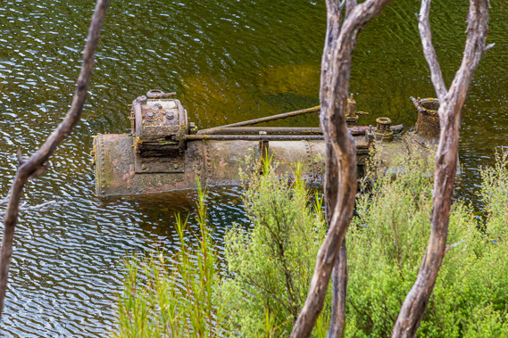 |
08:35 - One of several old boilers abandoned in this creek. These boilers were used to process wood here at Sawdust Bay. Across the other side is the remains of an old wharf set into the deep water allowing boats to load wood. |
 |
08:37 - Rounding a windswept point above the mouth of the creek. |
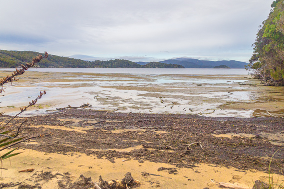 |
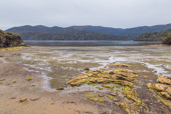
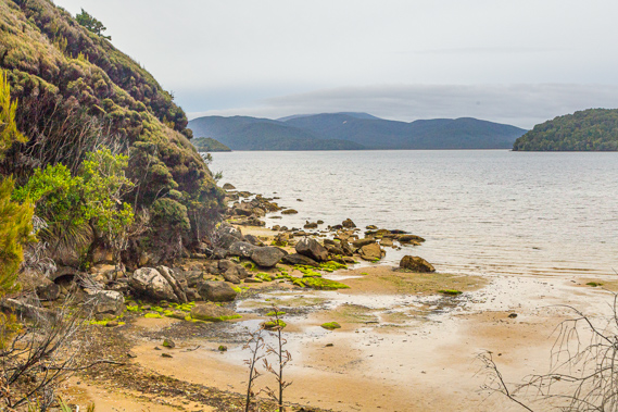
08:40 - A short descent leads to the beach at Sawdust Bay, obviously named due to the old timber industry here. The sawdust has long blown away with the last mill closing 90 years ago. In the distance is North Arm Point, officially the entrance of North Arm. Heading around that point brings boats into the main expanse of Paterson Inlet. Mudflat Island lies to the right of the point visible from here. It is named due to the large mudflat starting from half way between the island and North Arm Point, and extending to the right towards the mouth of Freshwater River which would still be hidden from view here. |
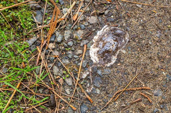 |
08:42 - Kiwi poop. I don't see any kiwis on this trek, so this is as good as I get on this trek. |
 |
08:44 - Passing through the mossy forest along the flats behind the beach. |
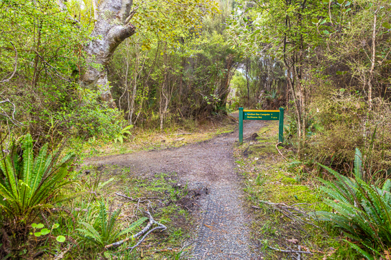 |
08:47 - Junction to the Sawdust Beach campsite. There is no history of this area apart from a brief mention of the old steamer equipment from the sawmill near the creek further back. |
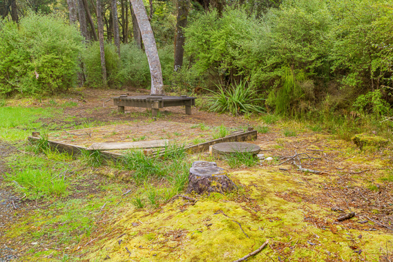 |
08:48 - I rest here at Sawdust Beach campsite. I catch up with one of the other hikers here who says she saw a kiwi further back along the track. I must have just missed it. |
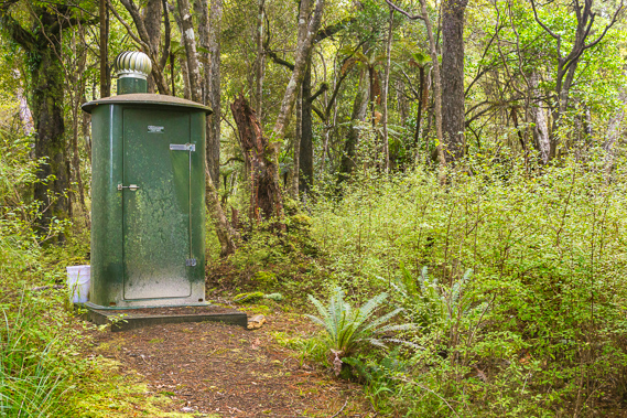 |
08:49 - The toilet at the camping ground. This camping ground probably isn't used much with being quite close to the hut, but makes a good resting spot. |
 |
09:14 - View of the beach of Sawdust Bay just after leaving the campsite. North Arm Point is closer and the mudflats and Freshwater River valley are just visible. The low hills in the distance are on the other side of the large swamp around Freshwater River, with Mason Bay behind them. The remote Doughboy Bay at the furthest point of the southern circuit is even further away behind the highest hill (Mount Rakeahua). |
 |
09:16 - The track follows above the beach for about two hundred metres before turning off and ascending under a rocky spur towards a low saddle. |
 |
09:21 - I cross the 50 metre high saddle now out of North Arm and into the watershed of the main Paterson Inlet - actually the smaller Prices Inlet. The sun starts to come out as the cloud clears, extending long shadows through the forest. |
 |
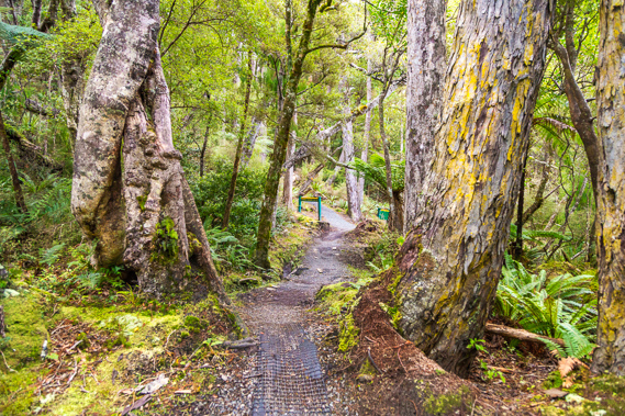
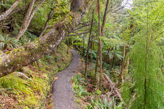
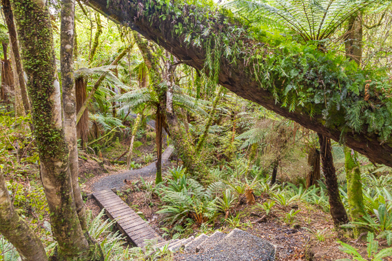
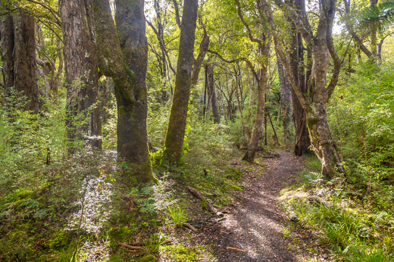
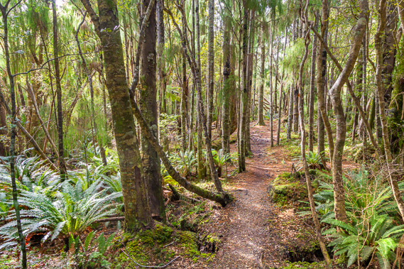
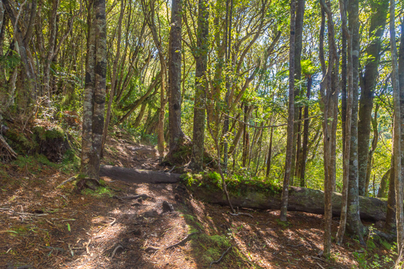
09:36 - The track continues through the mossy regenerating forest. The forest from here to Oban was almost completely cleared during the timber millings days. |
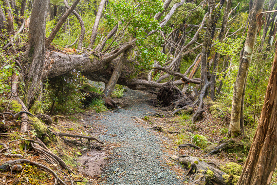 |
09:44 - A tree fallen over the track. A rough temporary path goes to the left, briefly reminding me of how good this gravelled track is. |
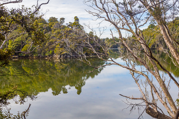 |
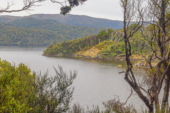
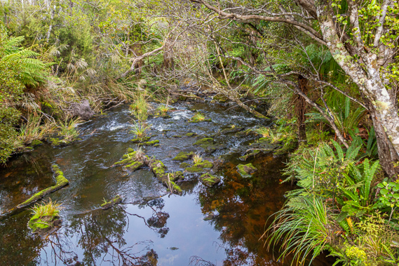
09:48 - Reaching the mirror smooth water of Kidney Fern Arm of Prices Inlet. The tide is rising and the water is sluggishly flowing to the left. |
 |
09:56 - The track continues along the flat above the inlet to cross the large headland extending to Allan's Point. |
 |
10:21 - The sun once more filters through the young forest. |
 |
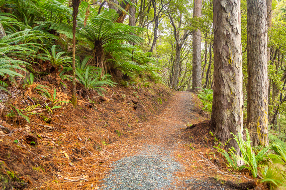
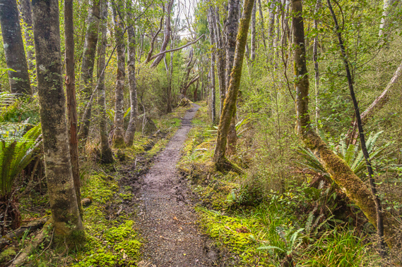
10:34 - The track remains in excellent condition along this long flat area rising no more than 40 metres above sea level. |
 |
10:40 - After nearly an hour of flat terrain, the track suddenly switchbacks down a moderately steep slope into a gully. |
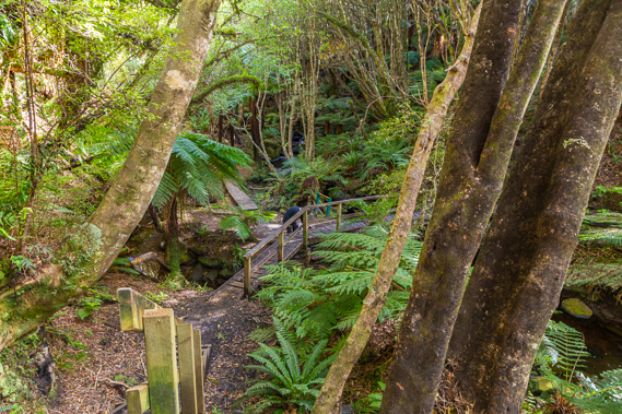 |
10:43 - At the bottom is a bridge crossing a creek flowing into Kaipipi Bay. |
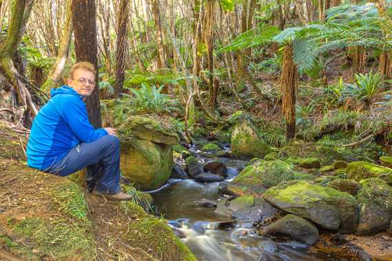 |
10:50 - I stop at the creek which was once dammed to power Gallon's Sawmill probably located right here. This was probably the first sawmill built on the island in 1861. Although there is nothing left of the mill, around 100 people were employed to operate William Gallon, and neighbour John Bullock's two mills here. At peak production in 1865, this creek was the first base of Stewart Island's export of timber to Australia but this didn't last long. The mill continued supplying New Zealand markets until 1926. |
 |
10:54 - The track follows below McCallum's tramway and ends at a gate, but beyond it a private boardwalk continues towards the sawmill settlement. This area was submerged a couple of metres but the tramway ran above the lagoon and continued across the island at one stage nearly meeting the Maori Beach tramway. |
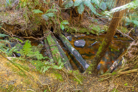 |
10:55 - The remains of the dam at Kaipipi Creek. It was built 4.4 metres deep and 27 metres wide to create a 3 kilometre long lagoon heading inland. These logs are all that remain and remnants of the soil rising on either side are just distinguishable. The mill was built nearby. |
 |
11:10 - I head out of Kaipipi Creek following the main track towards Oban. The cloud seems to have cleared leaving very difficult to photograph dappled lighting conditions and no views of the bay. Fortunately I had great forest lighting on the first two days on the track. |
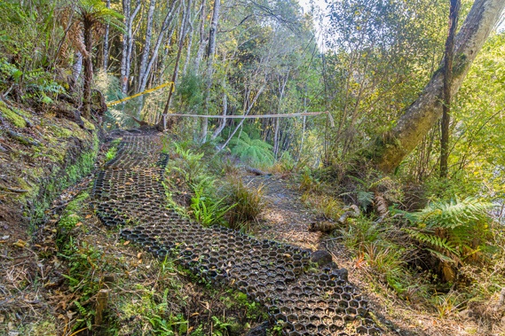 |
11:12 - I reach a landslide where a temporary track has been laid with plastic hexagonal overlay. |
 |
11:15 - The track continues up the side of the hill rounding above a steep bluff. |
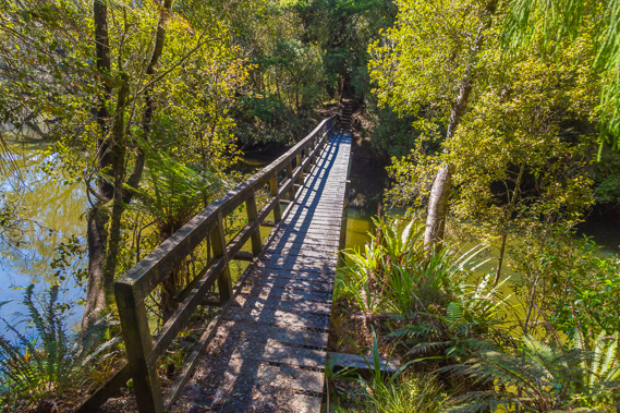 |
11:18 - A quick descent to a bridge across another inlet at the mouth of a creek which flows from around the highest point of yesterday's track. |
 |
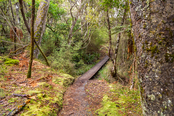
11:19 - The tide is in and the inlet is flooded. Thankfully it is bridged. There is only forest to see in either direction. |
 |
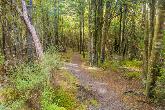
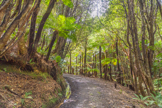
11:22 - Once on the other side I'm back in lush regenerating forest. I enter a Maori land block similar to the one I had entered a little after leaving Lee bay two days ago. |
 |
11:31 - As the track ascends, I pass three people working on the track with noisy petrol powered machines. The forest clears to scrub as I reach the top of the spur. |
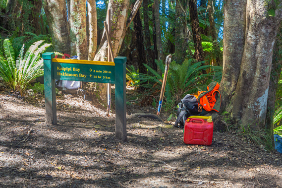 |
11:32 - The track descends to this junction on the Kaipipi Road, once the main road on Stewart Island but this section of the track is walking track now. The workers have left their lunch, spare fuel and other equipment here. The Maori land had ended a short distance back along the track. |
 |
11:35 - I follow the old road down towards the inlet just two minutes from the junction. Although a little overgrown, a four wheel drive vehicle could navigate this track. |
 |
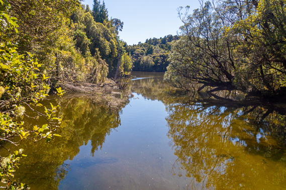
11:36 - I reach a clearing at the end of the road, almost passing as a campsite (though camping is not allowed here). |
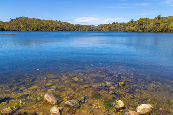 |
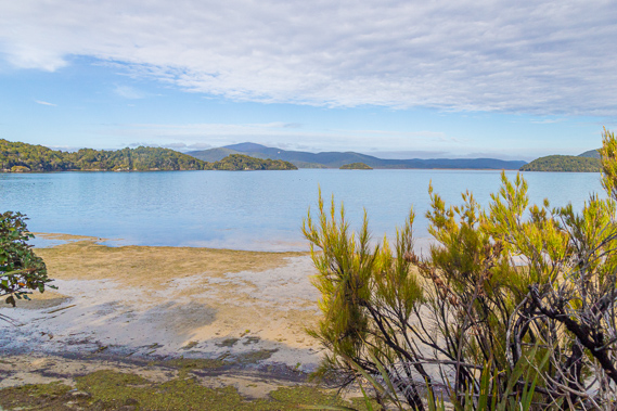
11:47 - Just past the clearing is the inlet, with crystal clear water. There is a house hidden in the forest on the other side, and a boat briefly enters the inlet before leaving. Otherwise there is no sign of life. The land to the right is part of Burial Island, perhaps an old Maori cemetery. |
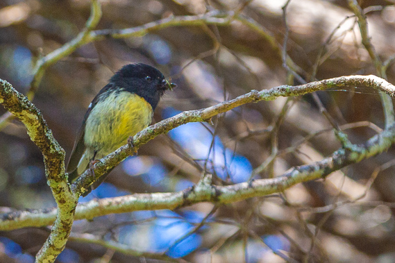 |
11:53 - I head back up the Kaipipi Road seeing this little yellowhammer hunting for insects. |
 |
11:57 - Passing the junction, I continue following the old dirt road heading over an obvious hill towards Oban. |
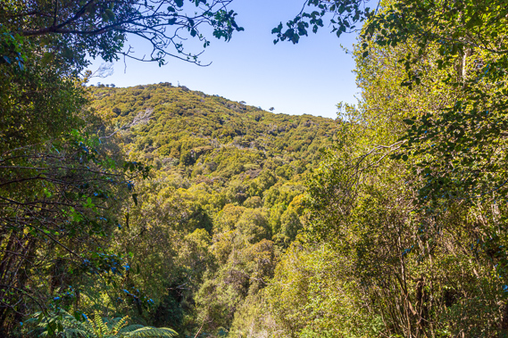 |
12:00 - Looking through a gap in the trees to the top of the hill over a hundred metres above sea level. The track will soon pass over the top of this hill at the start of a ridge which extends behind it. |
 |
12:05 - The track is very easy and quite straight in parts as it continues ascending. |
 |
12:17 - Crossing the top of the track at about 100 metres above sea level. From here it gently descends towards Fern Gully. |
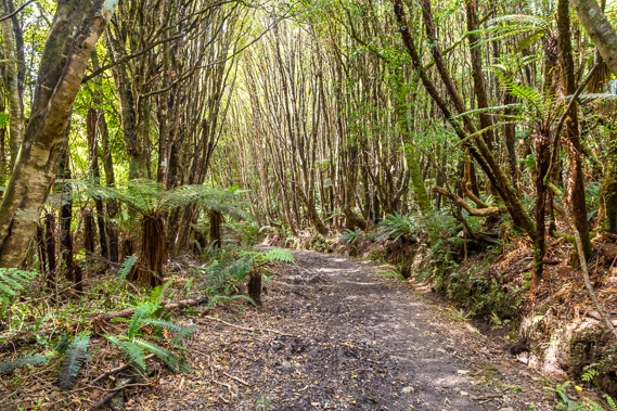 |
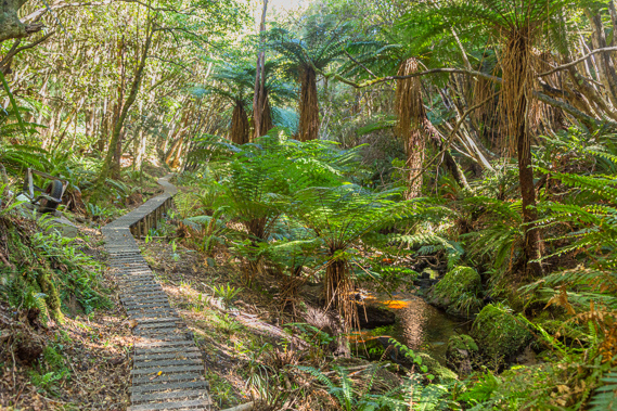
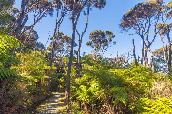
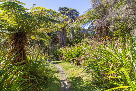
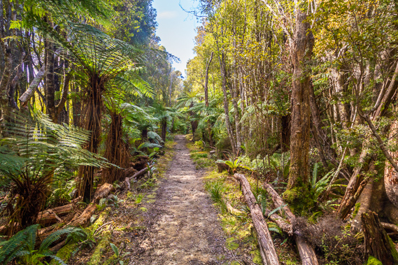
12:50 - Descending through the regenerating forest. These trees are a few decades old, creating the shade and protection for the much slower rimu trees to eventually grow and take over the forest. The forest will be fully regenerated in perhaps a thousand years. |
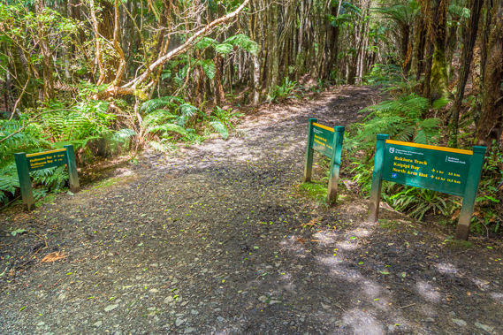 |
12:57 - Reaching the junction to the Ryan's Creek circuit at about 55 metres above sea level. From here the Ryan's Creek track heads back to Paterson Inlet and follows it along the coast to Oban and further along the coast to Acker's Point. The main track to the left covers the last two hundred metres of the Rakiura Track with another two kilometres to the beach. |
 |
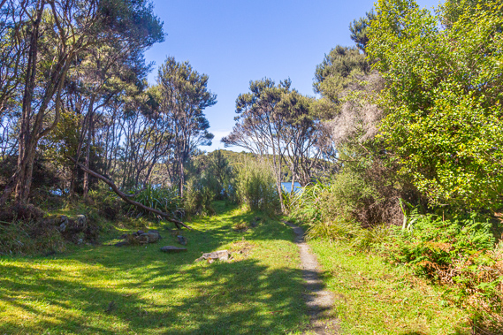
13:05 - I continue descending along the main track which would be easily driveable. |
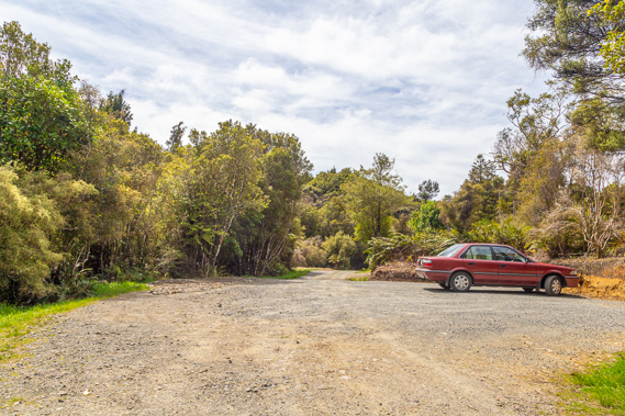 |
13:07 - Reaching the car park at Fern Gully. From here you can drive along the rest of Kaipipi Road into Oban about another two kilometres away. It is an easy walk but you can arrange transport to pick you up from here. |
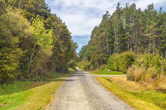 |
13:16 - Following the road towards town passing private property and exotic vegetation telling me I have returned to civilisation. |
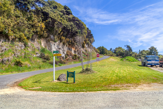 |
13:28 - Passing the road to the airport. A long sealed airstrip runs along the top of this ridge. From here you can catch flights in a small plane to Invercargill. Some hikers also catch the plane here across to Mason Bay or Doughboy Bay from where they walk back out to here. |
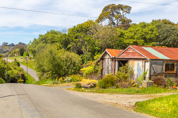 |
13:29 - Shortly after passing the junction to the airstrip, I pass the first houses of the sleepy town of Oban. |
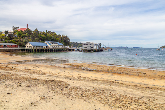 |
13:47 - Reaching Thomson Beach at Halfmoon Bay, the main port of Stewart Island at the end of the track where I started three mornings ago. |
|