Introduction to today's journey
I picked up coarse specks of gold... I could not obtain the colour. The routes I took and the landmarks seen may lessen the labours of any prospector going in that direction.
- Patrick Caples, 1863
THE GREENSTONE Valley was first explored by European settlers in 1861 when sheep farmers David McKeller and George Gunn (whom Mount Gunn and Lake Gunn were named) were led by a Maori guide. They were two years earlier than Patrick Caples who discovered the much more difficult Harris Saddle route. Upon reaching the top of the Greenstone Valley, they crossed the low pass to the tranquil Lake Howden. From there they proceeded up the hill to Key Summit from where they surveyed the surrounding Hollyford Valley and Darren Mountains.
This survey of this much less rugged terrain was part of the reason for the proposed road over Harris Saddle being abandoned in favour of a much more accessible road going over Greenstone Saddle. It was never to go ahead though as the settlement at the extremely remote Martins Bay was never to be realised. Only rough walking tracks would go through here with any plans of a road in the Hollyford Valley not even considered for many decades until eventually the Milford Road was painstakingly constructed in these extremely rugged conditions in the 1930s to 1950s.
Today's hike takes me from Lake Howden up the short climb to the top of Key Summit. From there I return to the main track and start the long and relatively easy descent to The Divide, the lowest mountain pass on the Southern Alps. There I reach the end of the track and head back to civilisation at the tranquil lakeside town of Te Anau, which will serve as my base to start the following two great walks.
Today's Journey
Distance trekked today: 6.9 kilometres.
Total distance trekked to date: 38.6 kilometres.
 |
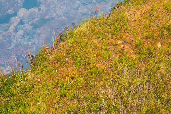
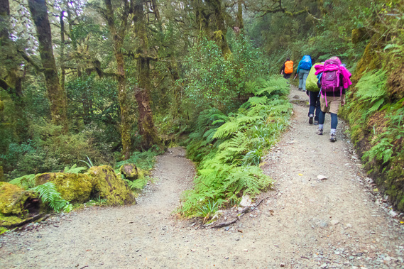
07:40 - A gloomy morning with quickly thickening and descending cloud greets the lake as I arise just after surnise on my final day on the Routeburn. |
 |
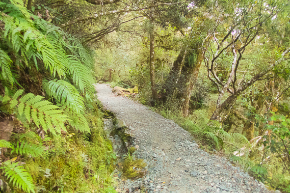
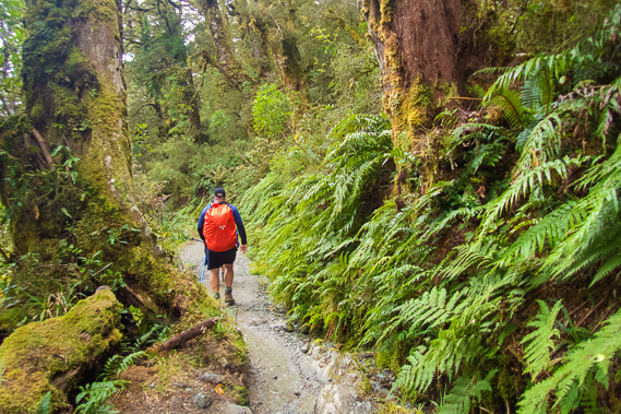
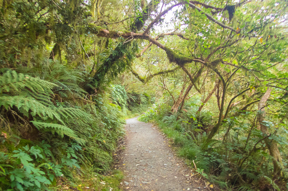
08:12 - From the hut I head through densely vegetated cloud forest as the cool humidity increases and the clouds thicken overhead. These are perfect conditions for the moisture loving forest. |
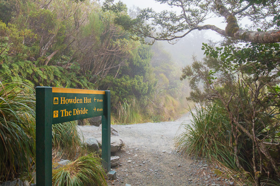 |
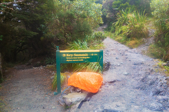
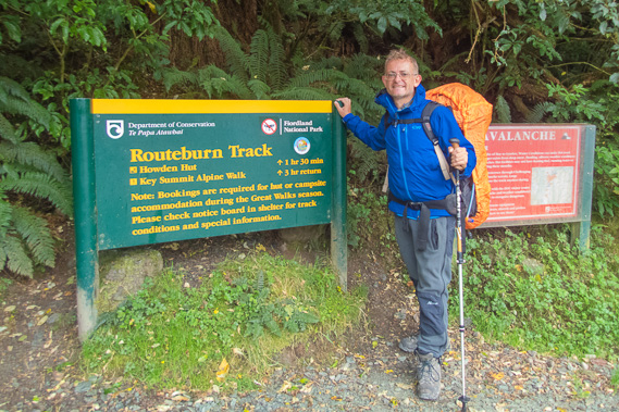
08:36 - About twenty minutes pass since leaving the hut following a moderate uphill when I reach the Key Summit junction just short of the bushline. Today's trek to the divide is quite short and there are quite a few hours to go before my bus arrives, so I have plenty of time to divert along this side track. The cloud has descended in this short time and it is already quite foggy. |
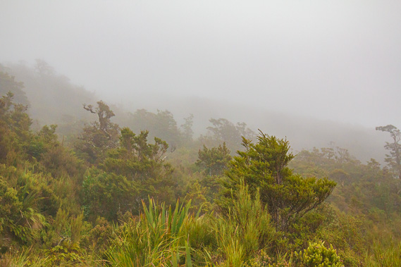 |
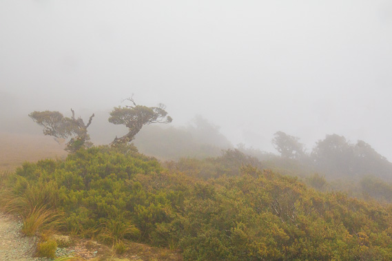
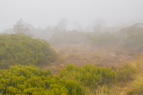
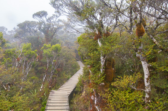
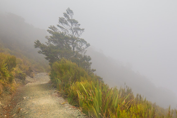
08:43 - The track quickly rises above the bushline ascending through thick scrubby heathland enveloped in the thick foggy cloud. There are no views across the Hollyford Valley today. |
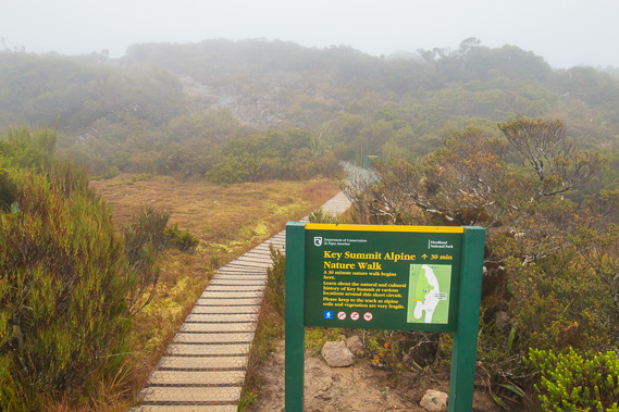 |
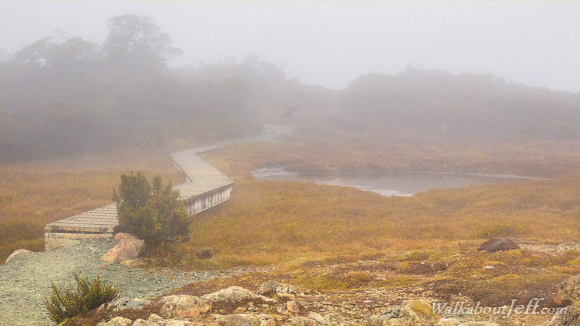
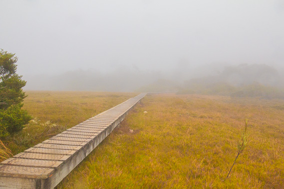
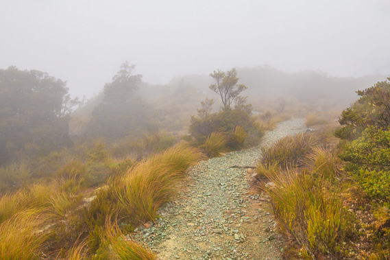
09:00 - The slope becomes almost flat as the gravel track gives way to a board walk meandering its way around the alpine swamp at the start of the Key Summit Nature Walk. |
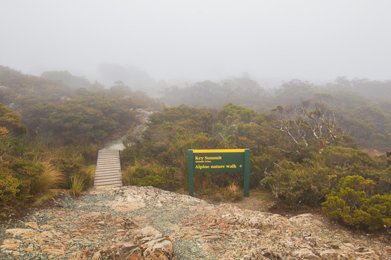 |
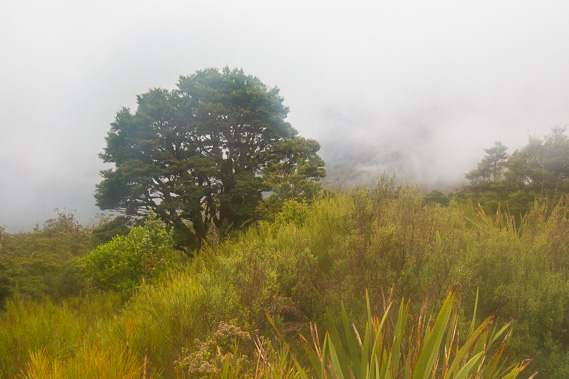
09:05 - I quickly reach the 918 metre high summit of Key Summit as light rain now falls from the cold clouds. Key Summit is named from From this little rocky outcrop the track continues along board walk by the early explorers David McKellar and George Gunn. This is as far as they reached following their journey up the Greenstone Valley to Lake Howden. There are no views today but the low heathland scrub and sphagnum moss bogs are very intriguing. |
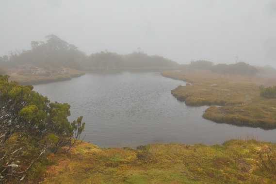 |
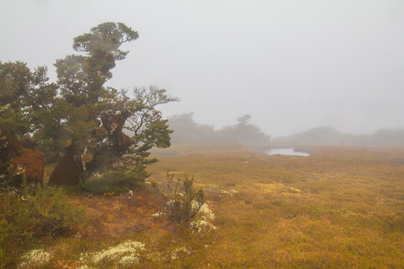
09:13 - I reach the first of several wind ruffled tarns along the flat ridge behind the summit. The rain is steady and the cloud very thick. |
 |
09:18 - The sphagnum moss growing around the tarn supports a very complex plant ecosystem on this saturated subalpine swampland explosed to all the elements. |
 |
09:21 - As I head away from the tarns over the inconspicuous summit of Key Summit, the thick cloud envelopes the stunted windswept heathland scrub. |
 |
09:22 - I reach another sphagnum moss swamp where a boardwalk extends over its width to the barely visible scrub on the other side. |
 |
09:22 - Another tarn is hidden away in the distance at the edge of the misty swamp. |
 |
09:25 - The swampland is very gloomy in this rainy fog. |
 |
09:29 - Rising along an increasing slope as I continue ascending the ridge. |
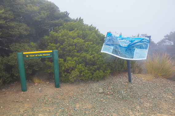 |
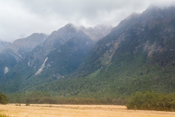
09:33 - Reaching the viewpoint, from where there is no view today. The view would have been similar to what I had over the past two days going along the Hollyford Valley above the bushline. The sign describes the glaciers that once carved these valleys out. The glacier flowing down the Hollyford Valley was just one of three streams of a giant glacier flowing out from the Darran Mountains. A second channel flowed over what is now The Divide down the Eglinton Valley towards Te Anau, and a third channel flowed over Key Summit and into the Greenstone Valley. The ice at one stage was over half a kilometre thick here. |
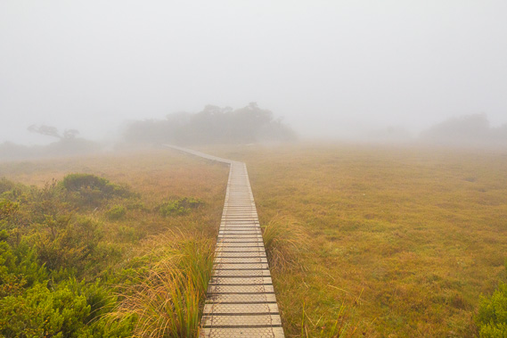 |
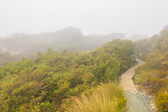
09:47 - More lengthy boardwalk crossing subalpine swamp as I continue along the circuit heading back towards the main track. |
 |
09:52 - The boardwalk diverts into some sheltered heathland forest as it passes under Key Summit. |
 |
10:05 - Approaching near the end of the circuit still in thick fog. |
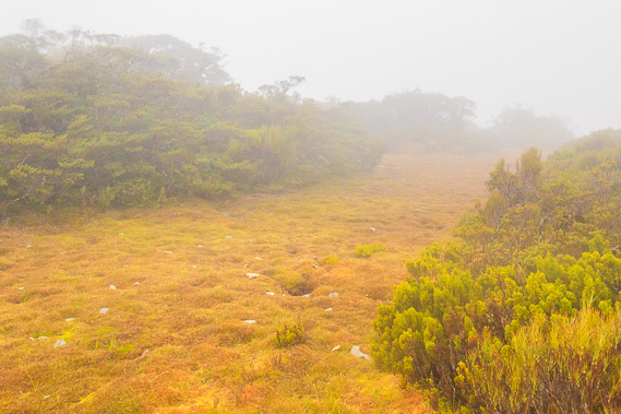 |
10:06 - I reach the last of the sphagnum moss bog before the track begins to descend back to the bushline. |
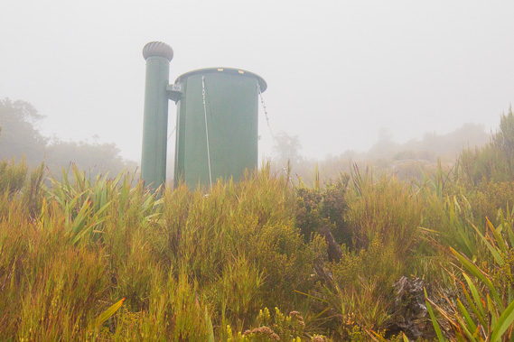 |
10:09 - I pass a toilet tucked away in the heath heading back down the mountain to the bushline. |
 |
10:16 - Descending back towards the treeline across the increasingly steep terrain high above the Hollyford River. |
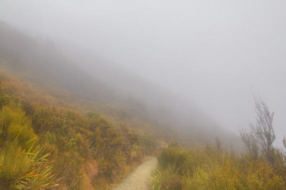 |
10:26 - The fog thickens as it rushes up the mountainside carried by the cold wind now blowing up the valley. |
 |
10:30 - Then the fog clears as I drop below the cloud line near the junction. |
 |
10:35 - Back at the junction where I had left my pack. Now to take it down to the final leg of the Routburn to The Divide. |
 |
11:11 - The track is in excellent condition here to cater for the day walkers who come from The Divide to do the three hour Key Summit return trip. |
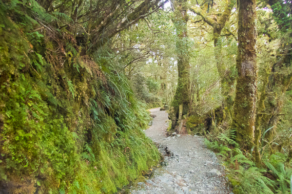 |
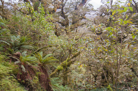
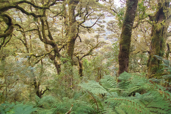
11:24 - The track continues moderately descending through lush cloud forest. The canopy has stopped any wind and the still air over the track is thick with cold humidity. |
 |
11:36 - The ancient trees rise from the fern ground cover holding the hanging moss from mysterious gnarly branches to extract the moisture from the wet fog. |
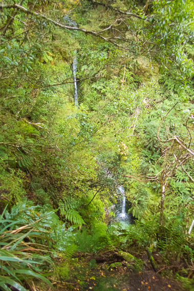 |
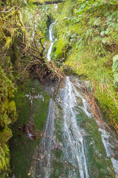
11:40 - Reaching a small waterfall at Divide Creek as the track doubles back. The source of this creek is just below the lookout at Key Summit. Large slips have come down this track closing it twice in 2019 and 2020. |
 |
11:41 - The track just before the waterfall, doubling back on itself as it continues its descent to The Divide. |
 |
11:49 - The track becomes a bit rougher and wetter as I continue descending into the cloud forest. |
 |
12:05 - Reaching a bridge over the same stream Divide Creek but a larger waterfall being further down the mountain. |
 |
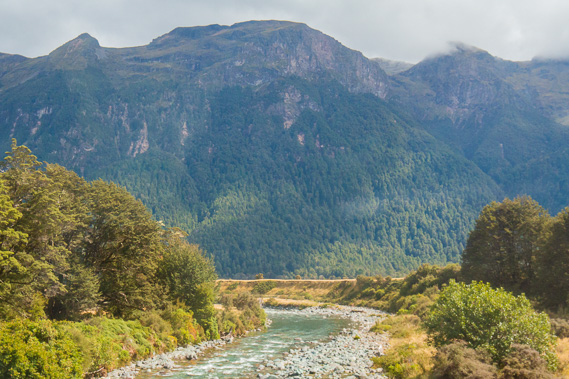
12:06 - First glimpse of the Milford Road as traffic roars in both directions. This is the first of civilisation I have heard since leaving Routeburn Flats. The Milford Road is the only transport link to Milford Sound, being 119 kilometres away from Te Anau. A rough road was first built through here to the then proposed entrance of Homer Tunnel in the mid 1930s during the great depression. The gravel road opened when the Homer Tunnel was finally completed in 1953. It was not sealed until the 1980s. |
 |
12:12 - The track is once more in great condition as I do the final kilometre to The Divide descending a gentle grade. |
 |
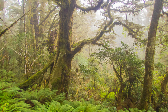
12:15 - The moss covered trees remain as mysterious as ever as the sound of the traffic passing below echoes through them. |
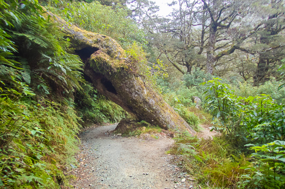 |
12:21 - A tree fallen over the track and the track diverted either side of it. |
 |
12:35 - Very happy having reached the end of the track where the Milford Road crosses The Divide. This is the Southern Alps' lowest crossing at 532 metres above sea level. From there the Milford Road continues climbing across the scar I had seen above the Hollyford Valley to its highest point at the entrance of Homer Tunnel at 945 metres above sea level, even higher than I had been earlier at Key Summit. |
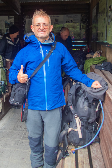 |
12:40 - I rest in the surprisingly crowded shelter. I had not seen many people on the track, but it seems a lot of people had passed me when I was up on Key Summit, both from Howden and Mackenzie Huts. |
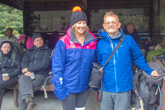 |
12:41 - Posing with some of the new friends from Auckand who have come out from Mackenzie today. The shelter here was built in 1986, and contains a few basic facilities such as toilets. There is no camping ground here. |
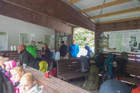 |
13:07 - The hospitality here is completely unexpected with free drinks and sandwiches to feed everyone whilst they await their buses. My bus is not due to arrive for another three hours (what was I thinking leaving Howden so early this morning?), but a van from the same company pulls up to pick up an earlier group, and there are quite a few spare seats on the bus, so I leave on this one making sure I'm scrubbed off this afternoon's pickup list. |
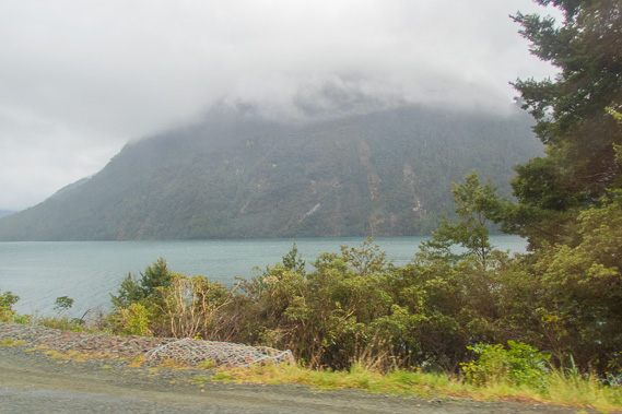 |
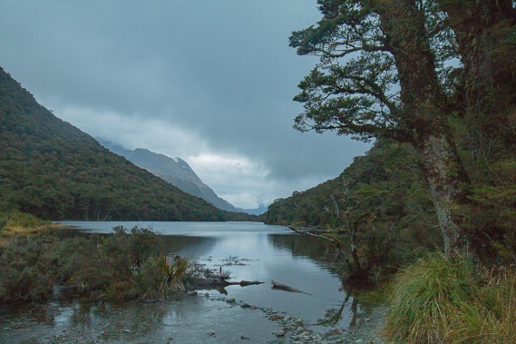
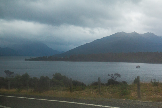
13:18 - We pass Lake Gunn on the Milford Road heading towards Te Anau. The lake was named after one of the explorers who first climbed Key Summit. He would have had a clear view of the lake from there. I recall seeing it from the track between Harris Saddle and Lake Mackenzie. The lake marks one of the later terminises of the three way glacier that had once flowed down the upper Hollyford Glacier. In earlier ice ages, the glacier would have flowed a lot further down this valley, carving it out. |
 |
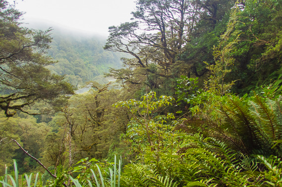
13:34 - The lifting cloud covers the tops of the steep Eglinton Range. The Milford Track begins on the other side of these mountains at the northernmost end of Lake Te Anau. |
 |
13:42 - Crossing the Eglinton River a couple of kilometres upstream from where it drains into Lake Te Anau. |
 |
14:00 - Lake Te Anau with thick rolling clouds coming in from over the mountains. The road reaches the lake near Te Anau Downs about 56 kilometres downstream from The Divide, and follows its eastern shore for a further 29 kilometres to Te Anau township. |
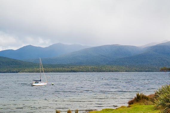 |
14:37 - The serene lake at Lake Te Anau with rain falling over the Jackson Peaks over the location of the Kepler Track. |
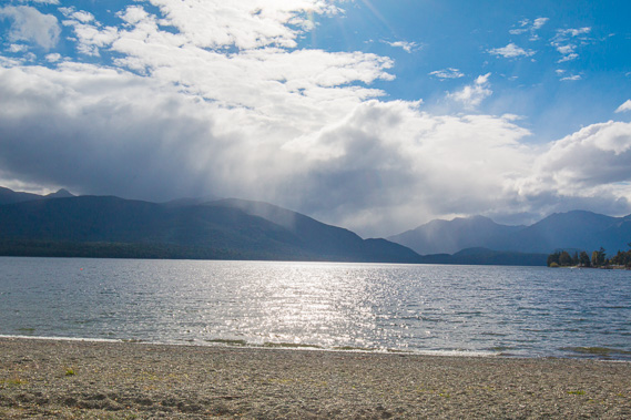 |
15:06 - Late afternoon rain is still falling on the mountains across the lake, but the sky is starting to clear now and the forecast for the coming days is looking good. |
|