This week in South East Queensland
24 - 30 September
SPRING is the breeding season for most birds. This includes the pesky magpie. Normally not a problem throughout the year, there are a few weeks starting around now when they suddenly become aggressive swooping down from the treetops at unsuspecting walkers as they protect their offspring from intruders. Although the weather is at its most pleasant, the magpies make this a rather precarious time of year for hiking.
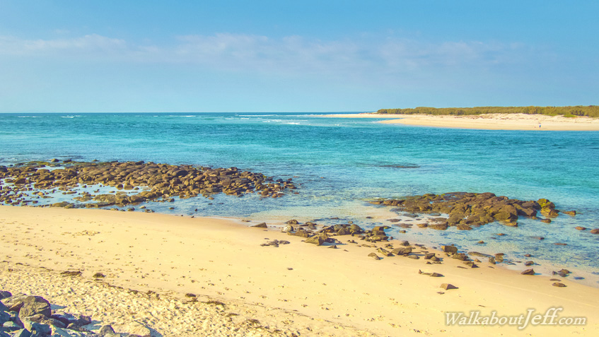
Today's journey continues along the beach from Bokarina, eventually reaching Moffat Head where the track follows the top of the rugged headlands around to Caloundra and into the calm waters of the Pumicestone Passage. I continue following the coastal track until it abruptly ends at Bell's Creek at the southernmost end of the Sunshine Coast.
Today's Journey
Distance hiked today: 18.0km
Total distance hiked to date: 221.4km
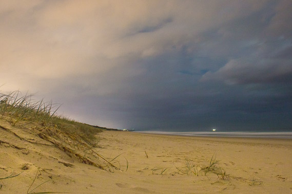 |
02:15 - Back out on Bokarina Beach in the early hours of the morning. There is a lot of cloud cover and Point Cartwright is still visible in the distance. I start heading in the opposite direction towards the equally distant Moffat Head. |
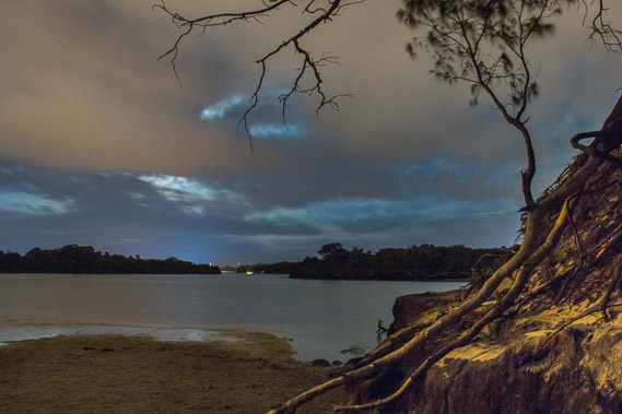 |
02:47 - I reach Currimundi Lake about half an hour later. The cloud is still thick but there's a chance the moon will come out. Currimundi means Place of Bats, presumably because they settle in the surrounding trees during the day and their swarms fill the sky at sundown. There is not a bat in sight tonight, and even if there was, they would be impossible to capture in the very low light. |
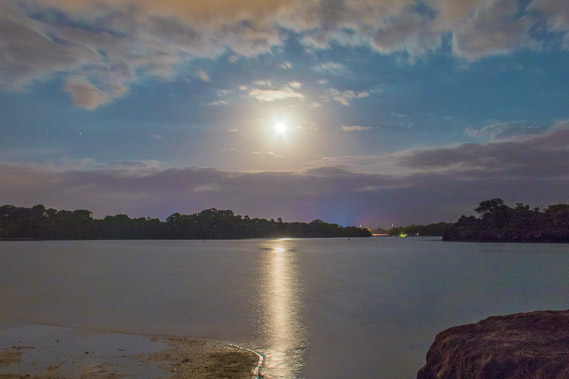 |
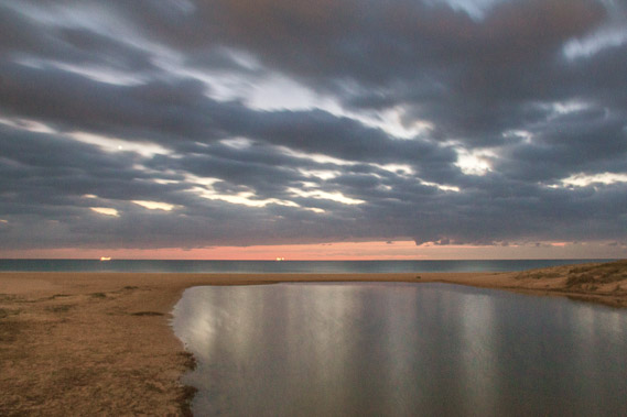
03:02 - The cloud briefly clears and the moon comes out in the silver sky, reflecting in the ruffled lake captured in this 30 second shot. The moonlight is short lived though, with the moon quickly setting an hour before the first light of day drawing total darkness. |
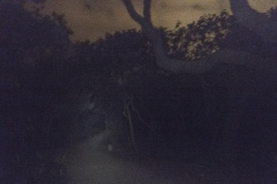 |
04:13 - With the moon set and just minutes to go before astronomical twilight begins, the track through the forest along the coast is very dark under dim torchlight. |
 |
04:51 - I reach Coondibah Creek as the sky begins to lighten and ships cross the ocean out of Moreton Bay still distant to the south. |
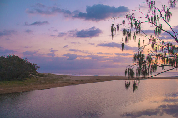 |
05:16 - The sky goes shades of pinks and purples in the early dawn as I cross the bridge over the other side of Coondibah Creek. From here the path continues through the bush passing a school but there are no views of the beach for quite some time. |
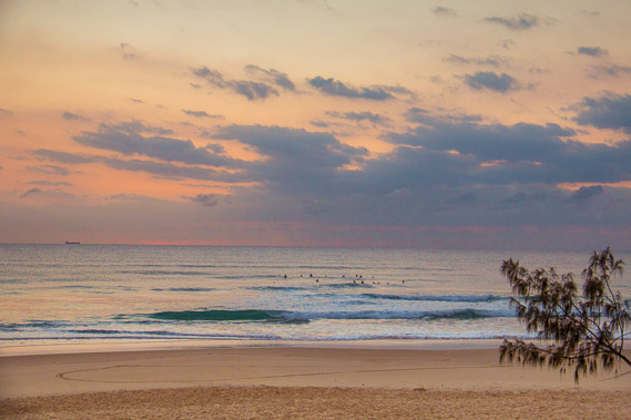 |
05:27 - I reach the coast just on sunrise, but cloud covers the horizon as a group of surfers heads out for the early morning surf. |
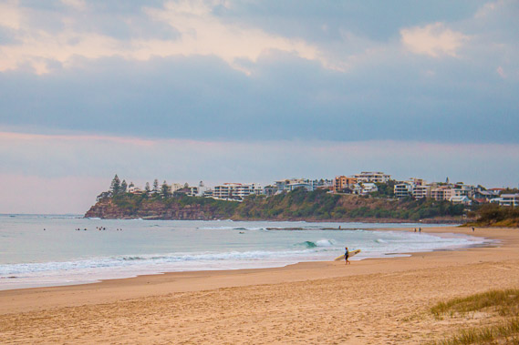 |
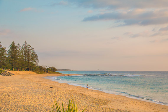
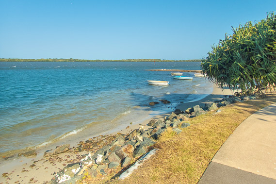
05:35 - I continue following the track but walk out onto the beach at Dicky Beach. The sun is now rising, but cloud covers the horizon as a group of surfers heads out for the early morning surf. The beach was named after a shipwreck rusting away on the beach for a century before being removed only a couple of years ago. Moffat head is now close by having appeared very distant from Point Cartwright yesterday, but less than two kilometres away now. |
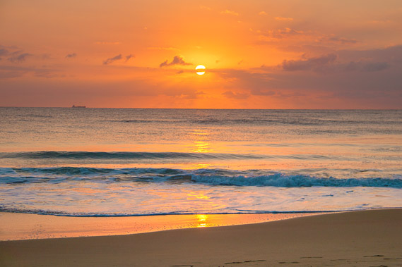 |
05:43 - The sun rises in the golden sky behind the clouds thin enough to still see its disk. |
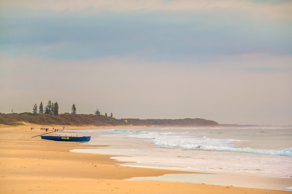 |
05:55 - A boat sits on Dicky Beach ready to be launched when its occupants have finished their warm-up run along the beach. Many of the surf clubs along the coast have frequent events like this each weekend. |
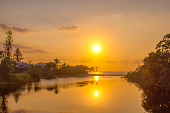 |
06:13 - I head inland for about two blocks before crossing a bridge spanning the still waters of Swamp Creek, almost perfectly reflecting the sun as I approach the start of Moffat Head. |
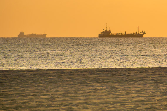 |
06:27 - Ships arrive waiting for the tide to come in before they can continue their southward journey and head into the shallow waters of Moreton Bay. |
 |
06:40 - A solitary walker walks along Moffat Beach which completely cuts off Swamp Creek. |
 |
06:53 - Moffat Head just before the path begins its moderate ascent above the cliffs. |
 |
07:05 - Looking back the other way across the rocks to pictureque Moffat Beach. Although the rocky areas make for good exploring, very dangerous stonefish lurk in the shallows amongst the rocks. |
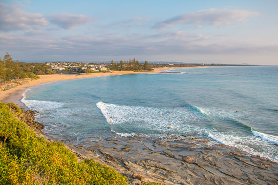 |
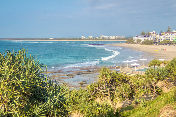
07:10 - View from a lookout near the top of the track going up Moffat Head. Waves break along the sweeping beach looking back towards Point Cartwright. Mount Coolum is just visible in the distance. |
 |
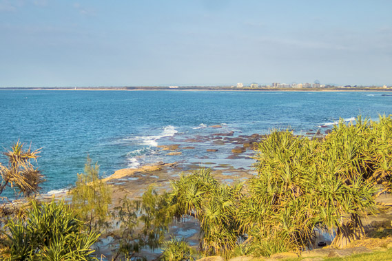
07:16 - Zoomed into Point Cartwright, Maroochydore and Mount Coolum. They are all a long way away, and this is the last I see them as I continue trekking south. |
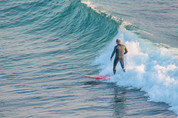 |
07:22 - A surfer making the most of the waves coming around the point. There are a lot of surfers here this morning. The swell is relatively small along the coast at this time of year, but this headland seems to be amplifying the waves for the surfers. |
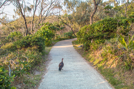 |
07:42 - The sealed path goes over Moffat Head passing through scrubland. Here I am led by a brush turkey, these birds are very common along the coastal scrublands. |
 |
07:58 - From Moffat Head the track descends to the tiny Shelly Beach from where several locals are fishing. After crossing a stream the track ascends the headland on the other side of the beach. |
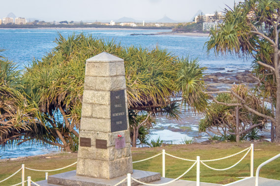 |
08:33 - Upon reaching the second headland, the path becomes a memorial to the Anzacs with the focal point being this obelisk overlooking King's Beach. The Glasshouse Mountains are visible in the distance but the buildings obscure the view. |
 |
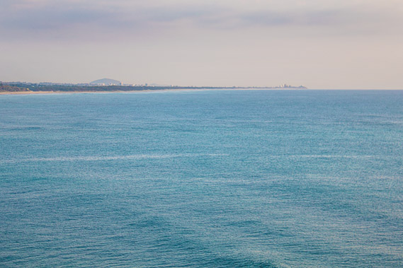
08:45 - Looking across the headland to the long sweeping beach of Bribie Island. Just visible is the white lighthouse tower where I will be hiking from down the coast tomorrow morning. |
 |
08:54 - King's Beach and the entrance to Pumicestone Passage. Bribie Island is on the other side. The distant buildings appear to be on Bribie Island, but they are actually on the mainland, being the central point of Pelican Waters where I'll be walking through this afternoon. |
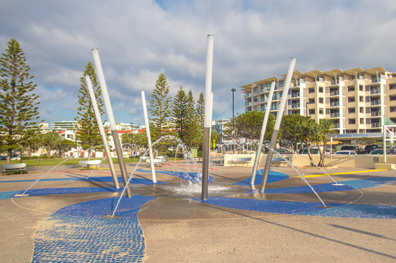 |
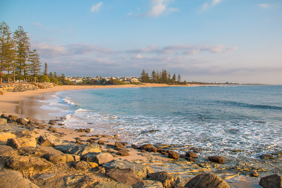
09:27 - Fountain in the middle of Caloundra, the southern major centre of the Sunshine Coast. Several large resorts make this quite a crowded beach. |
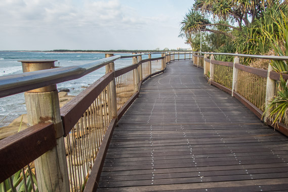 |
09:59 - The wooden boardwalk along the Caloundra foreshore turning into the entrance to Pumicestone Passage as the cloud quickly clears. |
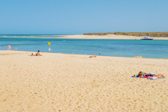 |
10:22 - Bulcock Beach with the tide quickly coming in through the entrance to Pumicestone Passage. Pumicestone Passage is named for the pumice that gets deposited along the coastline following the eruptions of an underwater volcano north of New Zealand. |
 |
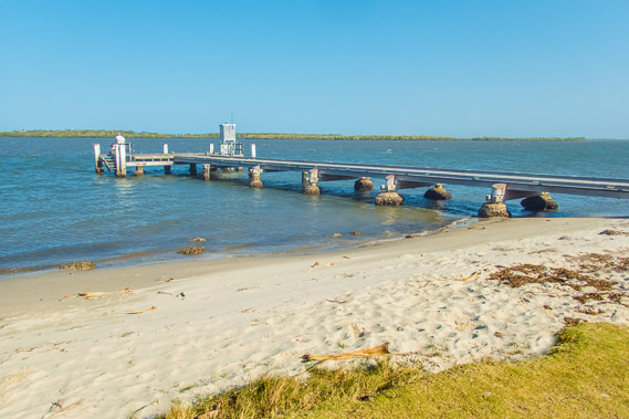
10:42 - Mouth of Pumicestone Passage viewed from Tripcony Lane Jetty. From here the passage turns south behind Bribie Island. The water is deep here due to the strong tidal currents filling and emptying the passage. The tide is nearly full now. |
 |
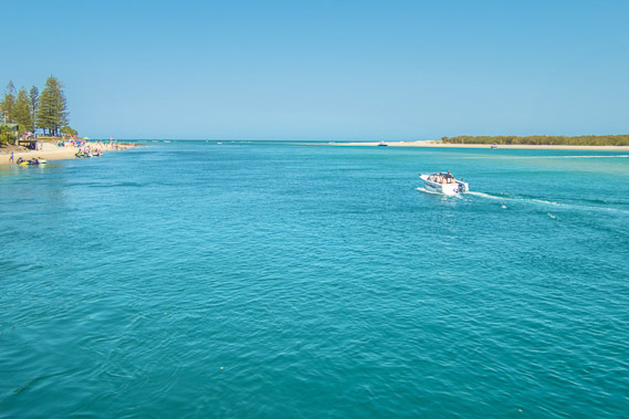
11:11 - Caloundra and the Pumicestone Passage. A submerged sandbar appears half way across the channel. |
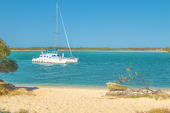 |
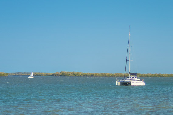
11:27 - A yacht moored off Golden Beach. The water here is sheltered from the ocean swell by the low sandhill of Bribie Island. |
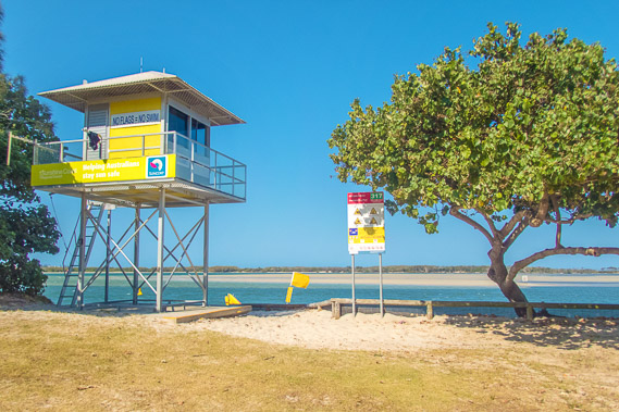 |
11:54 - A surf lifesaving tower at beach entrance 317 overlooking the calm waters of Golden Beach, Pumicestone Passage and the northern end of Bribie Island. |
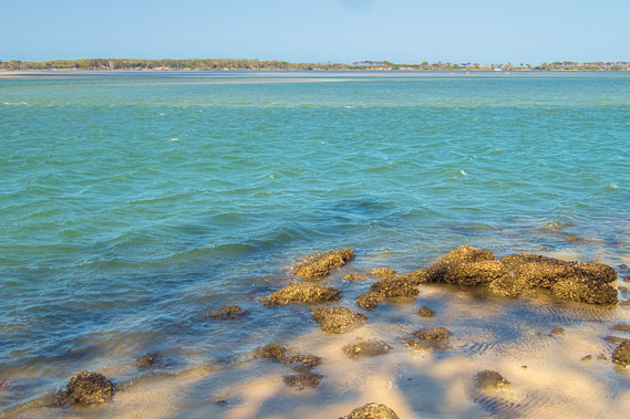 |
12:10 - The tide starts going out. The water up here appears dirtier with mud and seagrass on the bottom of the channel. |
 |
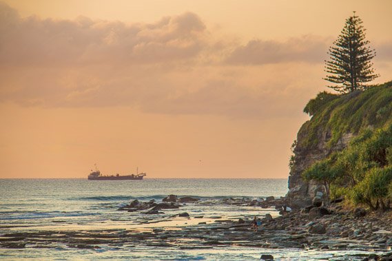
12:26 - A dredge moored in a side channel. The Bribie Island lighthouse is visible to the left. |
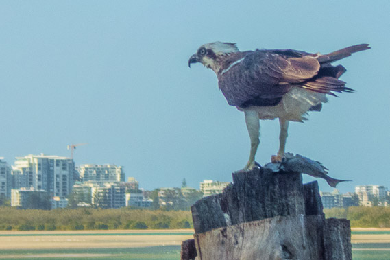 |
12:43 - After all this time, I get a close-up shot of a brahminy. Remember Brahminy camp 125 kilometres back up the coast? This is what is was named after. This brahminy has caught a fish for dinner from the channel. |
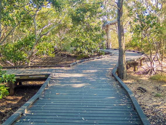 |
13:06 - The concrete path above the sandy shore suddenly becomes a boardwalk through a small forest of mangroves. The coast is quickly changing from sandy beaches to muddy mangroves as I head further up the channel. The same is happening on the other side on Bribie Island. |
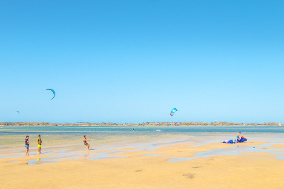 |
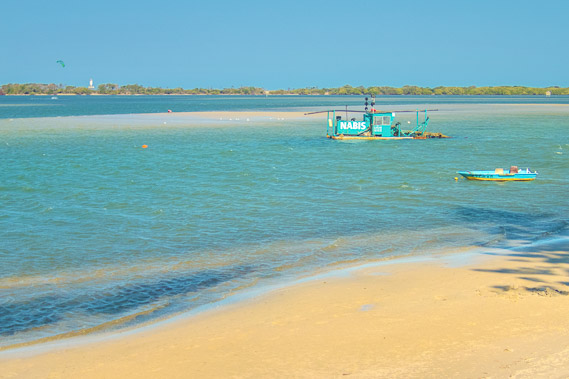
13:18 - Flying kites on the flat sand bank as the tide quickly goes out. |
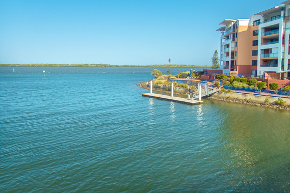 |
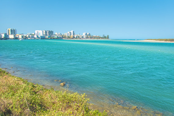
13:47 - Apartment towers overlooking the green waters of the Pumicestone Passage at the mouth of a canal extending into Pelican Waters. |
 |
14:01 - The path follows the placid waters now ruffled by a sea breeze. The ocean swells are already long forgotten. With that being said though, Bribie Island is very narrow offshore from here. The coast is eroding and eventually the northern end of the island will wash away exposing this area to the ocean swell. |
 |
14:13 - The jetty from where I'll be heading across to Bribie Island tomorrow. There is still another kilometre or two before the sunshine coast ends, so I continue following the coastal walkway towards its end. |
 |
14:36 - Mangrove forest on Bribie Island across the now expansive Pumicestone Passage. |
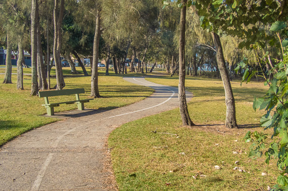 |
14:56 - The path goes through a forested park away from the beach. |
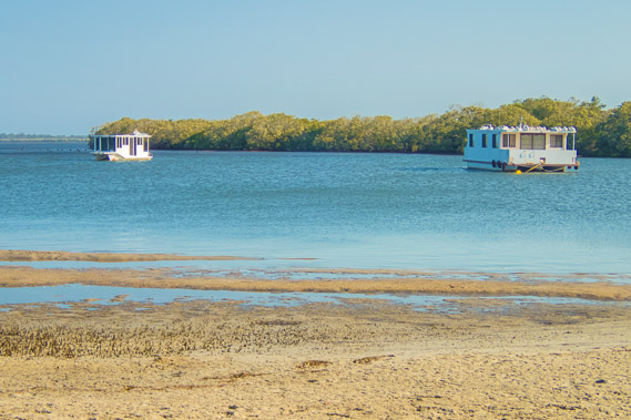 |
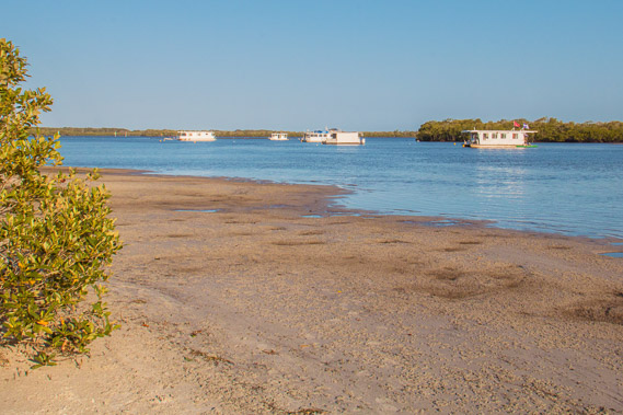
15:08 - I reach Bell's Creek. Streets of houses cover the land on this side of the creek. Unbroken mangrove forest covers the other side of the creek. These house boats mark an abrupt end to the Sunshine Coast. |
 |
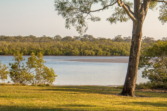
15:22 - I continue following the coastal path upstream along Bell's Creek. |
 |
16:09 - I head half a kilometre upstream along Bell's Creek to Jensen Park, the end of the Sunshine Coast Coastal Pathway. I am now 96 kilometres from the Tewantin Information Centre, though my actual route adding on a few extra headlands has extended it to 115 kilometres. |
 |
16:21 - A small unnamed creek at the south western end of Jansen Park is as far as I can go. I have definitely reached the end of the Sunshine Coast. |
 |
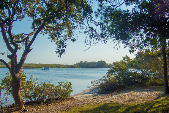
16:33 - Looking back downstream, the houseboats sit silently as the tide continues to go out. |
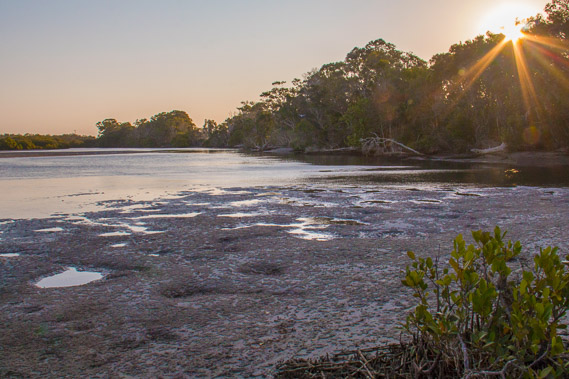 |
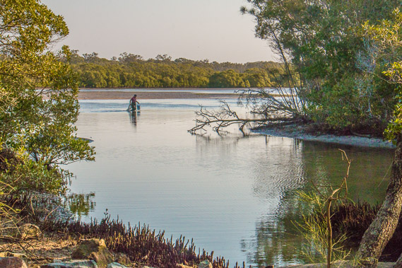
17:17 - The sun draws low over the creek. The tide is now out enough for the unusual pools left by giant mud crabs burrowing into the mud. I will see a lot more of these pools in later days going around Moreton Bay. |
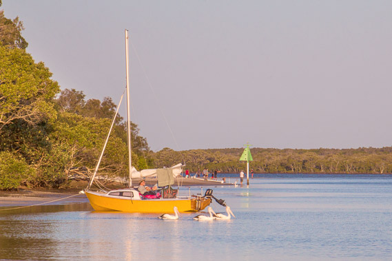 |
17:31 - Another boatie makes the most of the last rays of sunlight as pelicans paddle by. This general area is known as Pelican Waters, thanks to the large populations of pelicans living along Pumicestone Passage. |
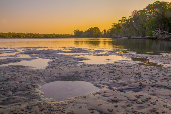 |
17:47 - The sun sets and the slightly smoky sky brightens the sky before darkness sets in here at the bottom of the Sunshine Coast. |
|