Introduction to Bribie Island
MORETON Bay is surrounded by large sand islands making for a rather treacherous entrance for ships arriving from around the world. When early European settlers discovered Moreton Bay, they explored its several notorious entrances in search for the establishment of a new settlement. This was not to be an easy task.
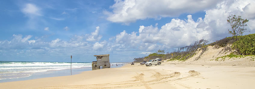
Bribie Island is a large flat sand island linked by the mainland by a single rickety bridge. There are a couple of small towns around the southern end of the island, but it is otherwise almost untouched national park with a long sweeping beach and trapped lagoons to its east, and mangroves overlooking the calm waters of the Pumicestone Passage to the west. On the other side of the passage lie extensive swampy flat lands stretching westward to the dramatic Glasshouse Mountains, making a clear division between the Sunshine Coast and Brisbane cities. Bribie Island marks the western side of the entrance into Moreton Bay.
With no tracks around most of Bribie Island, the 72 kilometre trek I take will initially follow the beach down the length of the ocean beach and around the bottom of the island into Moreton Bay before reaching a path heading part way up into Pumicestone Passage. I follow an inland track to as far north as I can get before following the path back to the Bribie Island bridge crossing over to the mainland.
|