This week in South East Queensland
1 - 7 October
BRISBANE is a major port along Australia's east coast. The only safe passage to enter Moreton Bay follows the old path of the Brisbane River close to the island to avoid the mass of sandbanks hidden further offshore. The river flowed past what is now the island during past ice ages when the sea level was a lot lower than it has been in recent millennia.
Today's trek takes me across the Pumicestone Passage to almost the top of Bribie Island. From there I follow the long sweeping beach southward heading past Fort Bribie, a long abandoned military installation, to the Bribie Island Camping Ground before continuing to the island's hidden lagoons.
Today's Journey
Distance hiked today: 23.9km
Total distance hiked to date: 257.8km
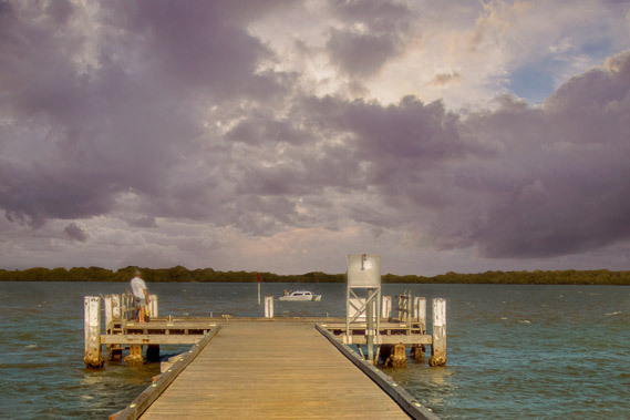 |
05:02 - A fisherman on the jetty at first light, softly illuminated by the street lights as threatening clouds are revealed over Bribie Island. The crossing of Pumicestone Passage could be a little rough. |
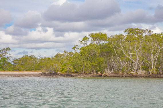 |
05:28 - Reaching the far side of Pumicestone Passage heading north passing the mangrove forest looking for a spot to land on the remote beach just north of the little lighthouse. The sun rises now hidden behind the clouds and mangroves. |
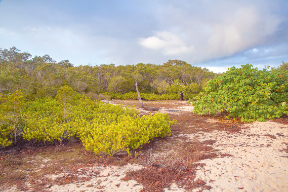 |
05:44 - Following a track across the sand over the very narrow neck of the island. Initially I pass through mangrove scrub, before a thin line of silky oaks overlooking the sea. |
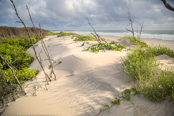 |
05:47 - Climbing the low dune to the ocean beach, less than a hundred metres from the Pumicestone Passage. The sun is now shining through a gap in the clouds highlighting the wind ruffled sand. |
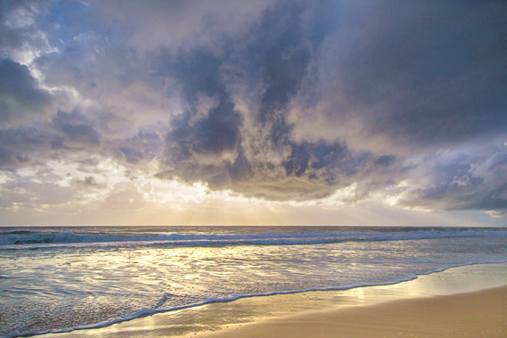 |
05:48 - Dramatic cloud formation over the water as the sun tries to come out again. The south east trade winds begin blowing in spring, bringing some rain. This is still a very dry time of year though, with the summer rainy season still some time away. |
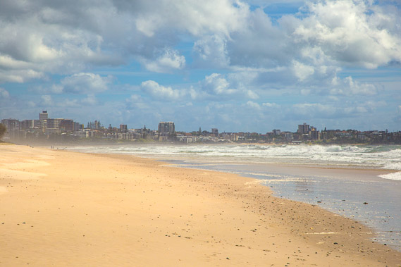 |
06:05 - Looking back towards Caloundra where I was walking along its foreshore yesterday morning. The cloud looks a bit clearer in this direction so fingers crossed, this spring squall will be short-lived. |
 |
06:06 - The fast moving cloud seems to be quickly clearing away to the west as I finish my breakfast snack before starting the long hike down the beach. Looking to the little lighthouse, and the long sweeping beach I'll be heading down all of today and tomorrow morning. |
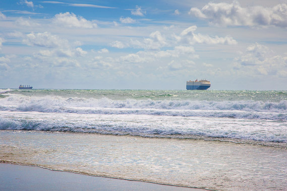 |
06:08 - Two ships heading close to the island. When the sea level was lower during the last ice age, the Brisbane River would have flowed along what is now the bottom of the channel and I'd be well in the entrance of Moreton Bay. Although the sea seems constant across the Pacific Ocean, there are a lot of shallow sandbanks on the other side of the channel. These would have been sand hills when the sea level was lower. This makes for a tight passage for the ships to sail into Moreton Bay. |
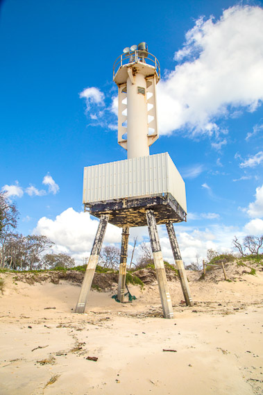 |
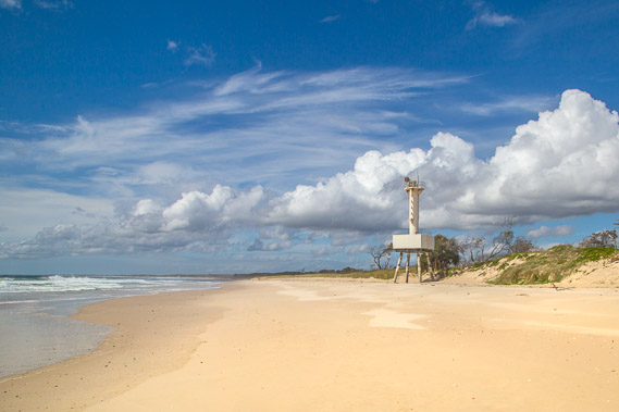
06:13 - The lighthouse at the narrowest part of the neck. The sea only needs to break through a few metres before clearing a channel into Pumicestone Passage no doubt causing problems for the residential areas on the other side. |
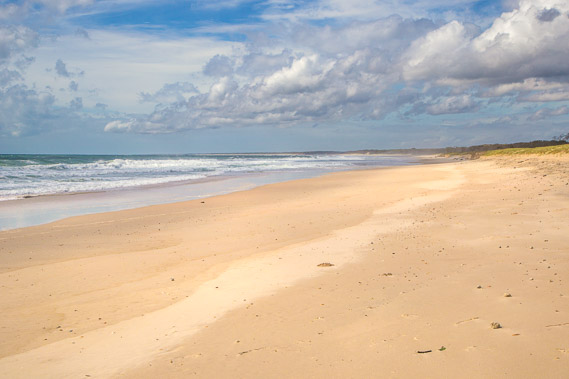 |
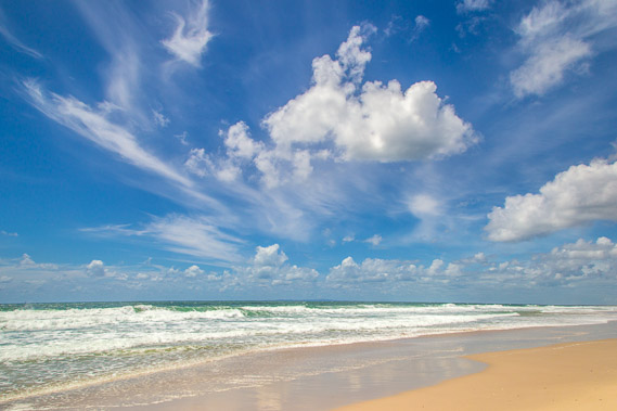
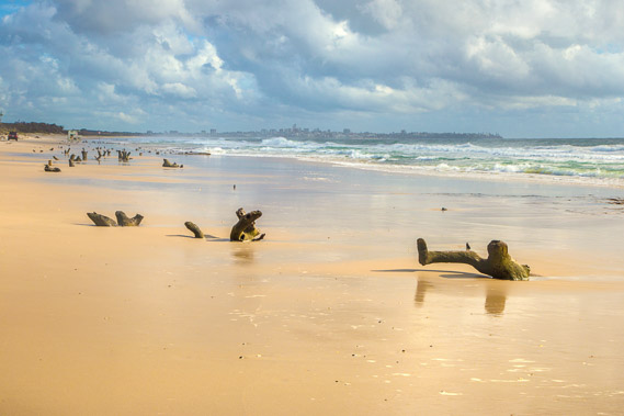
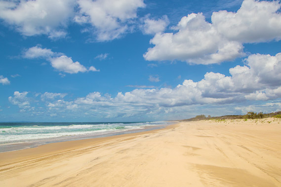
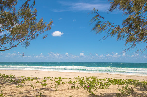
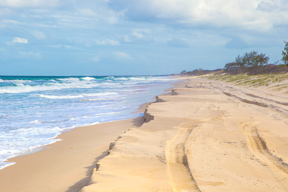
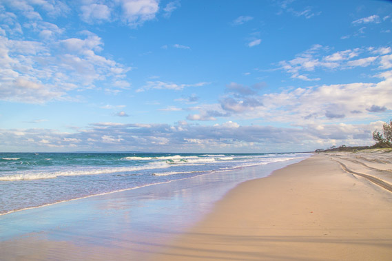
06:14 - The beach past the lighthouse is long, sweeping and undramatic going over the horizon. It is a long way to the other end of this beach. There is no sign of the far end of the beach, or of the entrance to Moreton Bay yet. |
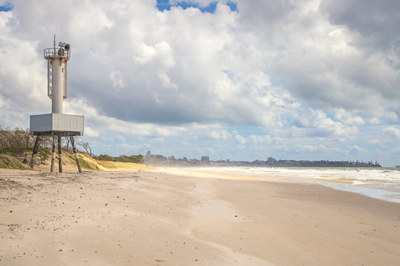 |
06:21 - One last look at the lighthouse and Caloundra as I head south. |
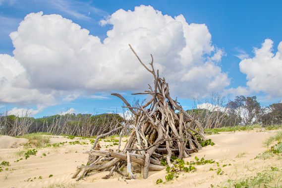 |
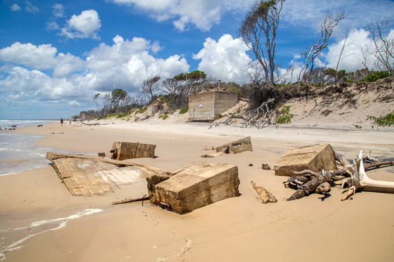
07:14 - A couple of kilometres south of the light house I reach a tower of driftwood from trees of the island that have eroded over the years. Someone must have been a bit bored as this would have taken quite a long time to construct. |
 |
08:09 - Fortunately the clouds are quickly clearing bringing forth a sunny spring day. |
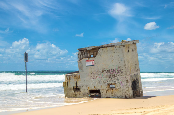 |
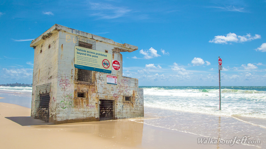
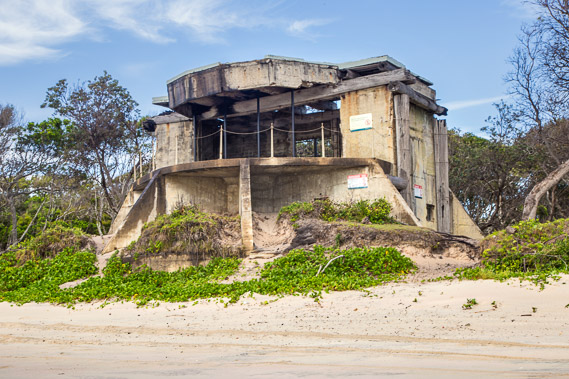
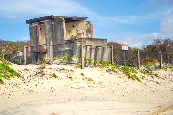
08:16 - A tower of an old military fortification. This had been built on top of the sand dunes, but the erosion of the beach due to the advancement of the sea is now leaving it stranded to the tides. The erosion is causing concern with the neck back around the lighthouse getting very narrow. It will break open in the coming decades causing problems for the communities along the southern end of the Sunshine Coast with the ocean swells making their way across the passage. |
 |
08:22 - Stumps of a forest washed into the sea with the westward advancement of the coast by around a hundred metres in a few short decades. Although the trees hold firm as long as they can survive, there is only so much salt water they can cope with. Eventually the salt poisons them. |
 |
08:26 - More ruins of the fortification. These were built during World War II to defend Brisbane from any incoming sea bound attack. Although there are several entrances into Moreton Bay around its various islands, the channel passing close to Bribie Island is the only reliable deep water passage. The channel once forming part of the Brisbane River comes very close to the island at this part of the coast, hence the military base. |
 |
08:31 - The remains of the forest washed into the sea. The first stump looks like a person trying to step out of the sand. |
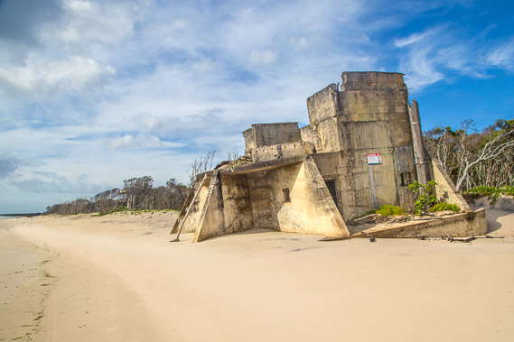 |
08:47 - A large gun tower now leaning into the sea as the sand around its foundations is eroded away. The top of the tower once houses a large cannon with the capability of shooting ships with large cannon balls. I'm hoping in time to come I'll find another gun tower that is still intact with a cannon. The gun towers on Bribie Island are too long abandoned and deteriorated to see any cannons. |
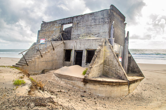 |
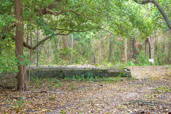
08:55 - Going around the back of the building, drifts of sand have built up on its walls as the sand around its base is washed away. The stairs led up to the gun tower. |
 |
09:11 - Another gun tower. This tower is still standing reasonably level on its original dune, but will very soon join the other buildings as the sea washes the dune away and slowly erodes it into pieces. As strong as these fortificated buildings are, the gentle action of nature wins in the end. |
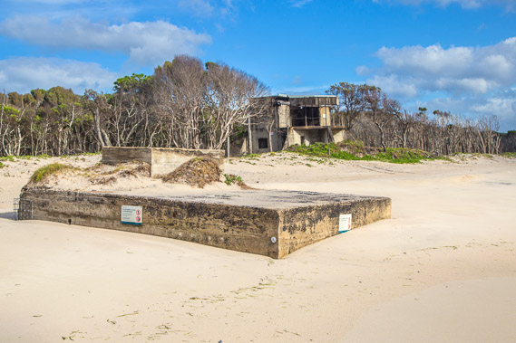 |
09:19 - The foundation of another building being washed into the sea. There is no trace of the building that had stood on this foundation. |
 |
09:32 - Another gun tower on the dunes just before the entrance of a track heading inland to the village housing the tower workers. |
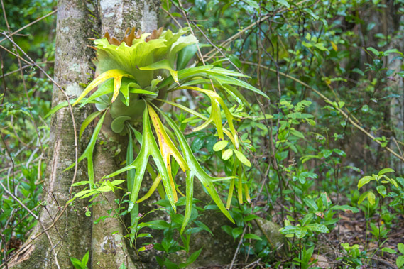 |
09:55 - An elkhorn growing on a tree in the forest beside the path. |
 |
10:18 - The single lane width track ends about two hundred metres inland at the small village. The forest has overcome the village leaving only some of the foundations of the military base support buildings. |
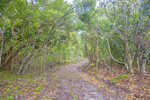 |
10:29 - Returning along the old military service road from the village back to the beach. |
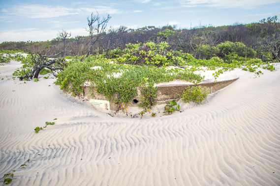 |
10:49 - Back on the foredunes. This dune has almost completely overtaken the remains of another building. Perhaps there are other buildings completely buried by the westward advancing dunes. |
 |
10:52 - Following the beach after leaving the military base. The tide is now coming in. The towering hills of the northern end of Moreton Island start rising over the horizon. The entrance of Moreton Bay goes between Bribie and Moreton Islands. I hope to reach the entrance sometime tomorrow morning. |
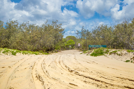 |
11:15 - The sand road starting here, and heading inland towards White Patch (the first of several small towns on the island) about 22 kilometres away. From there the island is mostly residential, but at this end of the island it is all national park, with no signs of civilisation except a camping ground about half an hour away, and numerous 4WDs going up and down the beach. |
 |
11:35 - Approaching the camping ground where numerous unserviced campsites are hidden in amongst the trees. |
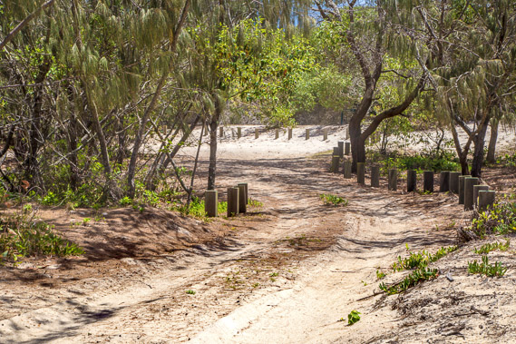 |
11:52 - Soft sand road into the camping ground. There are numerous entrances like this along this part of the beach, each track leading to several campsites. |
 |
12:14 - Shady resting spot for lunch under the silky oaks. |
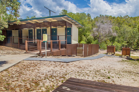 |
12:37 - The facilities in the camping ground. |
 |
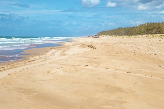
12:54 - The tide has come in quickly during my lunch break at the camping ground. This section of coast is slow going with the sand soft and the tide eroding a small sand cliff. Still the vehicles travel along the beach, but most people have set up a spot to fish and relax from. |
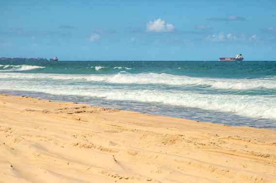 |
13:41 - More ships passing the deep passage and heading around Caloundra. They are passing through at high tide as parts of the passage become too shallow at low tide. |
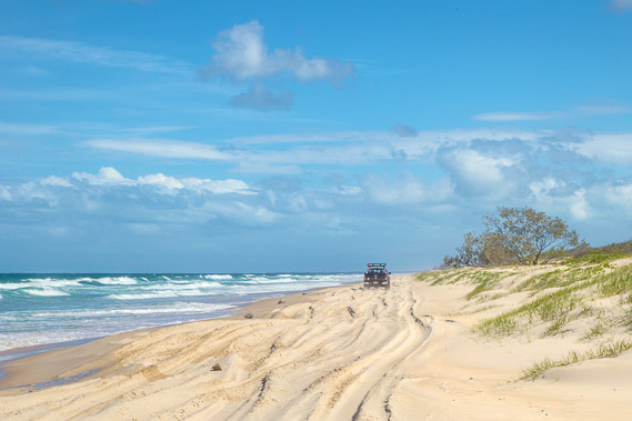 |
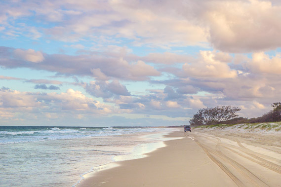
14:38 - A vehicle struggles along the beach at high tide. Driving is very easy at low tide on the hard sand surface, but precarious when the tide is in. |
 |
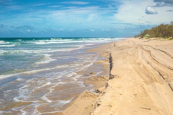
15:00 - The tide eventually starts going out as I continue heading the countless miles down the beach. |
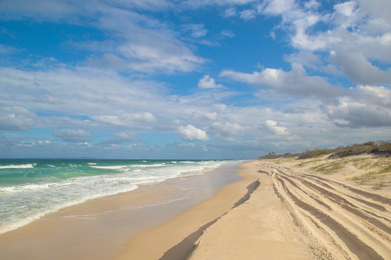 |
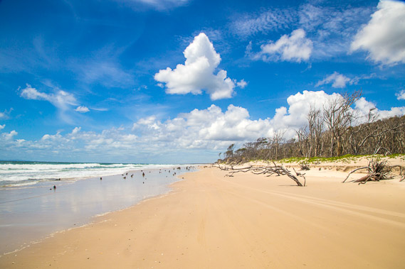
15:47 - The passage along the shore is very long, with no sign of the end of the beach on the horizon. A couple of hours after leaving the caming ground. Moreton Island is starting to appear higher over the horizon but still very distant. |
 |
16:12 - Another hour passes before I can just make out the end of this beach from where it sweeps around the bottom of the island to the west entering Moreton Bay. |
 |
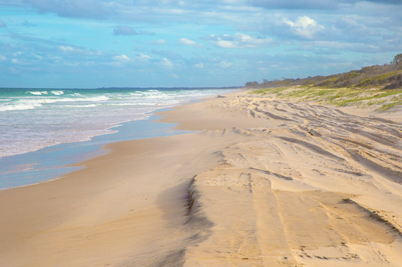
16:13 - Looking back along the beach there is now almost no sign of Caloundra, or of the camping ground, just endless beach in either direction. |
 |
17:21 - The sun gradually sinks low over the horizon sending shadows from the thin sikly oak trees as Moreton Island continues rising above the horizon. The first of the lagoons is near. |
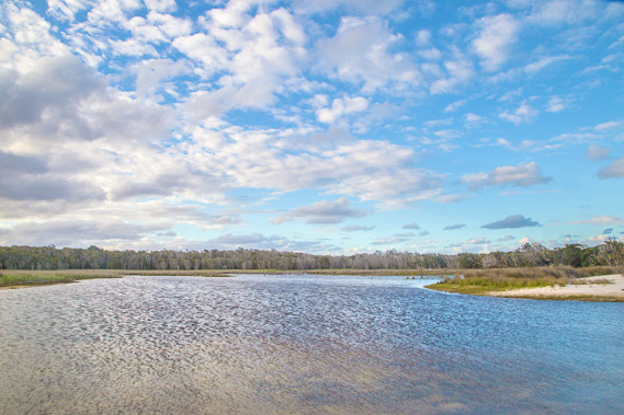 |
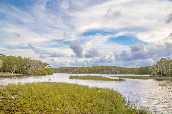
17:27 - Looking north westward along the main channel of the wind ruffled Welsby Lagoon. |
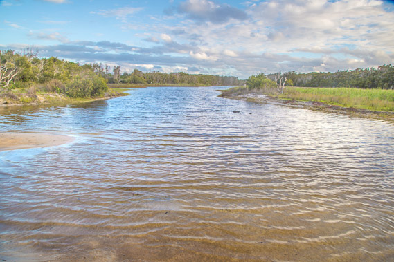 |
17:30 - The south channel of the Welsby Lagoon, running parallel to the beach. |
 |
17:41 - I don't linger at the Wellsby Lagoon as I'd like to get to Mermaid Lagoon before dark. Another vehicle passes. Although the tide is going out, the sand is still quite soft and progress a bit slow. Here I cross the 27 degree latitude parallel. |
 |
17:50 - I reach Mermaid Lagoon just on sunset behind the clouds, following it inside the dune to this view from inside the lagoon. |
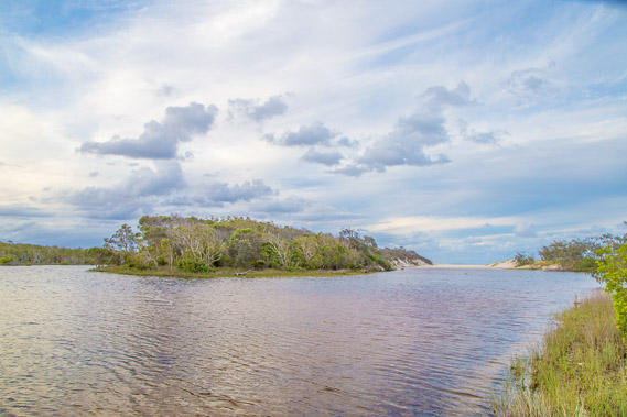 |
17:51 - Looking back to the entrance to the lagoon, with another channel sweeping northward. |
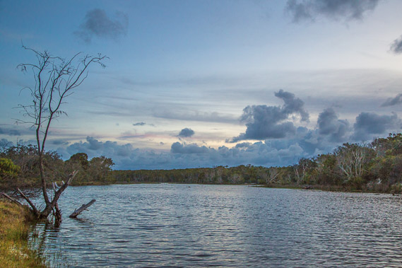 |
18:28 - Darkness quickly falls on this moonless night as I return to the entrance of Mermaid Lagoon. |
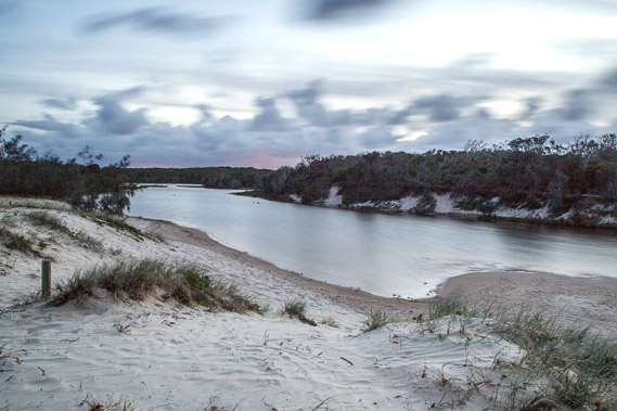 |
18:44 - A final long exposure shot from the top of the dune as a few grey kangaroos appear. The light is too low to capture them though, but hope to photograph them later. |
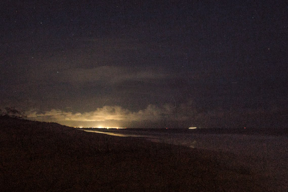 |
19:12 - I continue heading south from Mermaid lagoon in the darkness of the night, making the most of the tide being out. At one point I turn back to take this picture looking north towards the clouds of Caloundra. A cruise ship is sailing towards Moreton Bay to the right. I can tell its a cruise ship due to its bright lights and being a shallow draft ship, can go into Moreton Bay at any tide unlike the heavier freight ships. |
|