This week in South East Queensland
8 - 14 October
THE DISCOVERY of Moreton Bay as a large relatively calm body of water along Australia's otherwise rugged and exposed east coast opened the opportunities for settlement in Australia's early colonial history. The large expansive port gave birth to what is now Australia's third largest city.
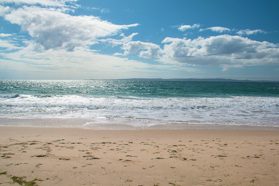
Today's hike takes me around the bottom of Bribie Island heading into the relatively calm waters of Moreton Bay. Although I have now covered half the distance between Rainbow Beach and the bottom of the Gold Coast as far as the crow flies, I have only covered a quarter of the time and distance of the trek. Moreton Bay creates a very long detour on this journey.
Today's Journey
Distance hiked today: 20.5km
Total distance hiked: 278.3km
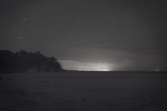 |
03:51 - Caloundra is still visible in the distance as I continue heading down the coast before first light. Low cloud lingers over the Sunshine Coast but elsewhere the stars are shining bright, but not for much longer. |
 |
04:53 - A wave breaks at first light as the clouds quickly build from the east. A ship in the distance leaves Moreton Bay following the route towards the island before heading out to sea Moreton Island is visible to the right. |
 |
05:15 - Looking back along the beach, it extends back as far as the eye can see and Coloundra is now below the horizon. |
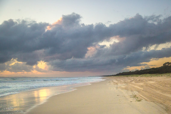 |
05:20 - Some rain is visible beyond the end of the beach. The point at Woorim is now easily visible. Cloud to the east blocks the rising sun. |
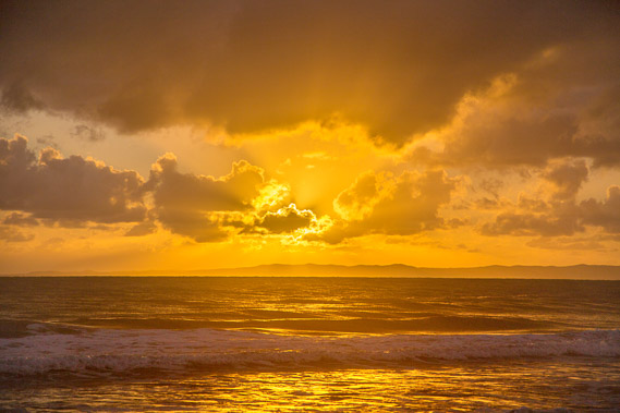 |
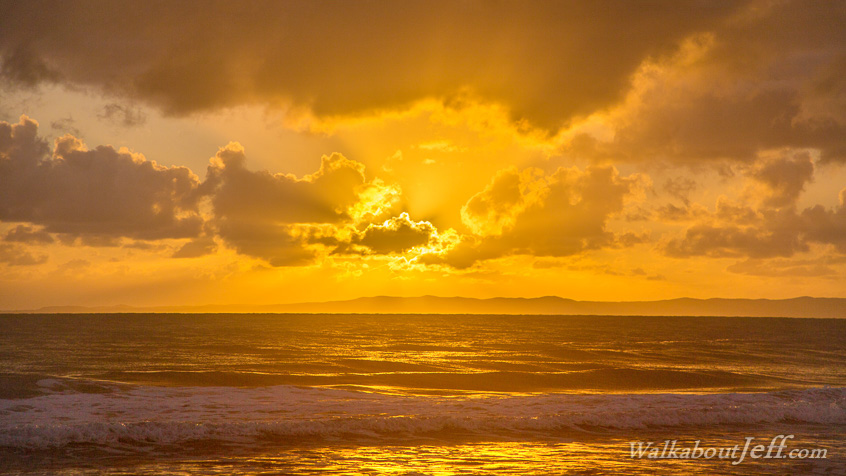
05:22 - The sunrise is dramatic between the layers of building clouds over Moreton Island. I'll be walking around Moreton Island next year. The golden sky as the sun slips behind a small cloud sending rays across the entrance of Moreton Bay. |
 |
05:48 - Reaching second lagoon. The sun filters through a gap in the clouds illuminating the scrubby bush on either side of the lagoon. |
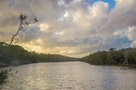 |
05:52 - Looking along the length of Second Lagoon running parallel to the beach. The weather seems to be closing in further south. |
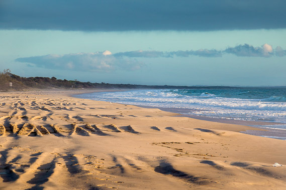 |
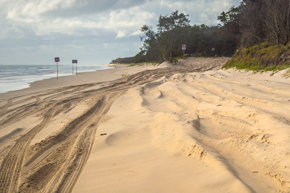
06:07 - I can't linger long at the lagoon. I return to the beach and follow the soft sand in amongst tyre tracks washed by tide. The soft sand and the cross wind makes progress quite slow. The sky looks quite clear to the north with no rain falling up on the Sunshine Coast. |
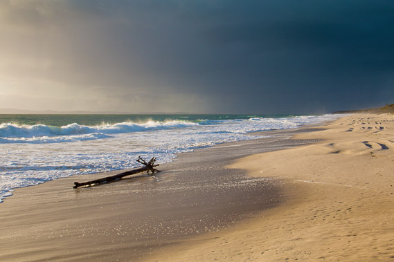 |
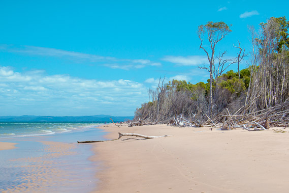
06:13 - Looking to the south it is a completely different story. A large rain cloud sweeps to the south, bringing rain to Brisbane, but completely missing the island. The rain is passing, and looks like I'll miss it here. Moreton Island is visible again as I reach a large washed up tree. |
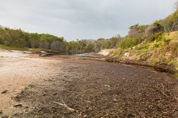 |
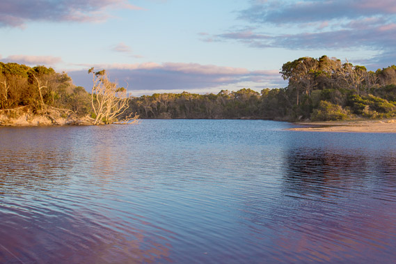
06:35 - I reach First Lagoon. A lot of debris has washed up into the lagoon, and now sits on the sand as much of the lagoon water has evaporated since last filling. |
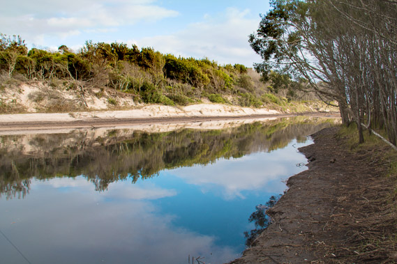 |
06:37 - The calm water of First Lagoon sheltered from the wind. |
 |
07:11 - Leaving the lagoon, I shortly reach where the road track leaves the beach about a kilometre short of the point at Woorim. From here on the beach is free of the deep scars of tyre tracks. |
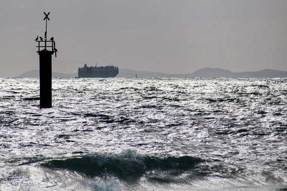 |
07:20 - I reach the point at Woorim. A ship passes two large marker posts marking the entrance to Moreton Bay. The sand hills of Moreton Island are about 20 kilometres across the bay. The shipping channel is quite close to here as shallow sand banks come off Moreton Island. |
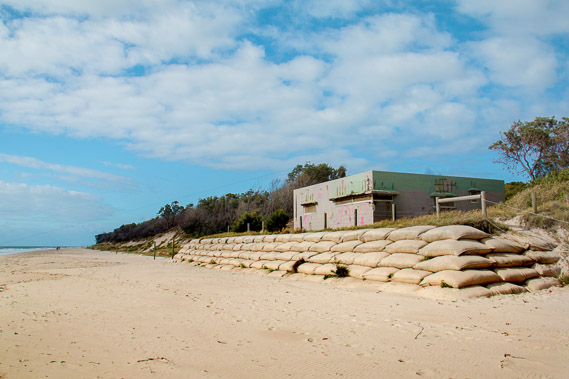 |
07:48 - An old military station at the point. This has been sandbagged to reduce the erosion. |
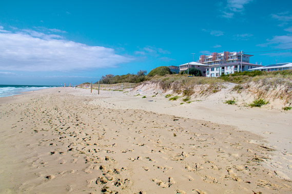 |
08:13 - Woorim Beach with houses now visible. This is the first inhabited area of Bribie Island with a small suburb on this side of the island separated from the main populated area seven kilometres across the island. |
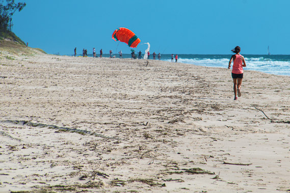 |
08:42 - A parachuter lands 200 metres behind where I've just been walking as a runner passes. I hadn't even seen the plane. I'm guessing the parachutist had jumped out around four kilometres overhead. |
 |
09:03 - Looking across the entrance of Moreton Bay across the green waters to Moreton Island. |
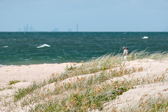 |
09:50 - Zoomed in to the max over sand dunes around the point to my first view of the just visible towering high rises of Brisbane City as waves break over the hidden sand banks just below the surface. |
 |
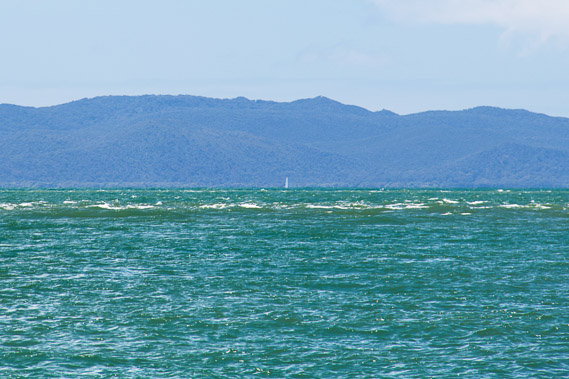
10:02 - The tide is coming in on this small bay, approaching the overnight tide that had deposited the green sea grass from the sheltered shallows of Moreton Bay. The D'Aguilar Range behind Brisbane is now visible. |
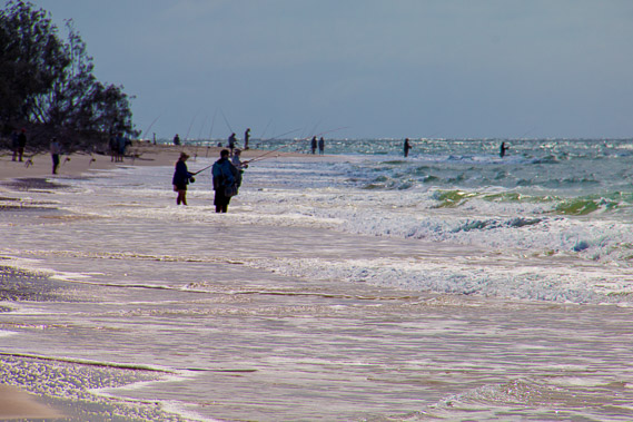 |
10:03 - This must be a good fishing spot giving the number of people who were fishing here... |
 |
10:23 - Zoomed to the max getting my first view of North Stradbroke Island just south of Moreton Island on the other side of the bay. I will be hiking along both sides of North Stradbroke Island next year. |
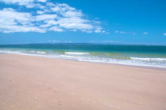 |
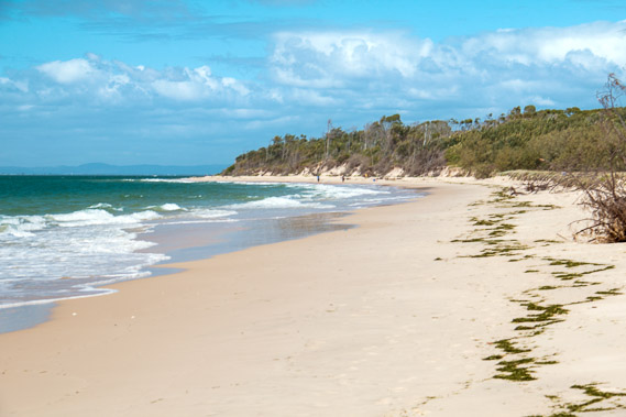
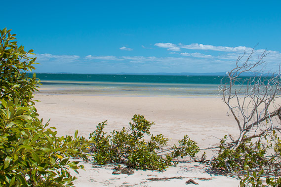
11:47 - The beach quickly widens and the waves become a lot smaller as I further enter the bay. Moreton Island extends out along the eastern horizon. The island's numerous exposed sand patches are clearly visible. |
 |
12:11 - Zoomed right in to the Howard Range, and the 280 metre high Mount Tempest, the world's highest coastal sand hill. A yacht appears tiny out in the bay and waves go over one of Moreton Bay's many submerged sand banks. Although the bay is very big, navigation is quite limited with the countless submerged sand banks. |
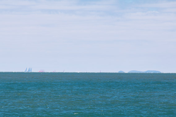 |
12:22 - First view of the port of Brisbane. This is where the ships I have seen have been heading towards. From their close route along Bribie Island, the ships have to turn towards Moreton Island crossing almost to the other side of the bay before turning towards the port. |
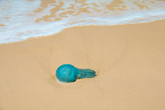 |
12:49 - A dead jellyfish on the beach. There are a lot of jellyfish in the bay and a lot on the main beaches during prevailing south easterly winds. |
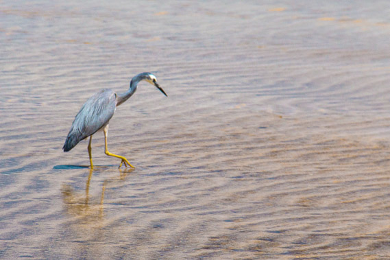 |
13:24 - A heron forages in the water as the tide continues to come in. |
 |
13:41 - Around the forested end of the island towards Bribie Island's west coast along Pumicestone Passage. |
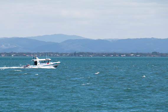 |
14:08 - Zoomed into the D'Aguilar Range as a boat passes. The houses will be of Beachmere where I'll reach in two days. The hightest hills of the D'Aguilar Range are around 800 metres above sea level. |
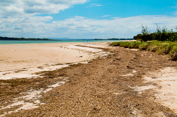 |
14:14 - A lot of vegetation (mainly dried sea grass) deposited at the mouth of the Pumicestone Passage. |
 |
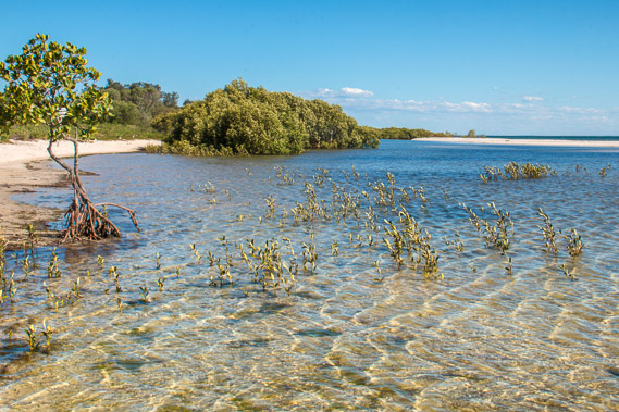
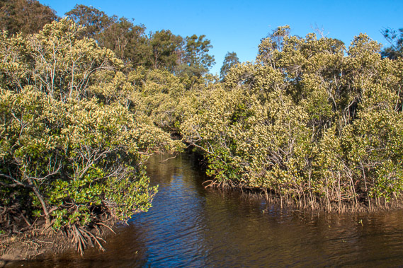
14:30 - Last view of the beach as I look from the mangroves before heading inland a short distance. |
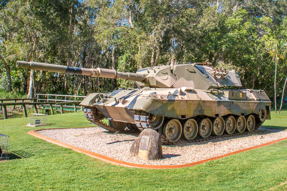 |
14:42 - I reach the southern end of Bongaree where I discover an army tank on display in the village. |
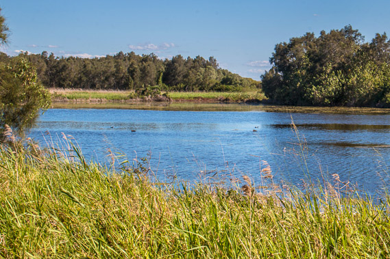 |
14:53 - I return to the coast reaching Buckley's Hole, a freshwater lagoon frequented by the migratory birds. |
 |
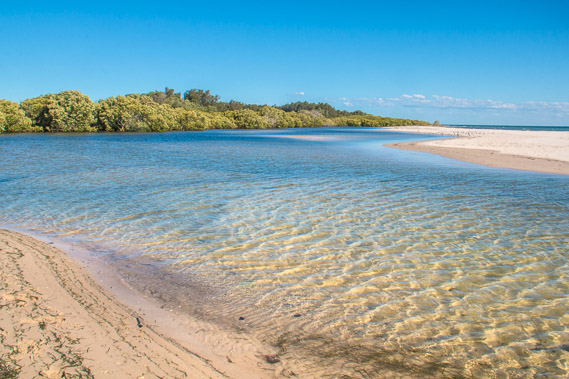
15:11 - The clear waters of the mouth of the Pumicestone Passage outside Buckley's hole. The tide is fully in now. |
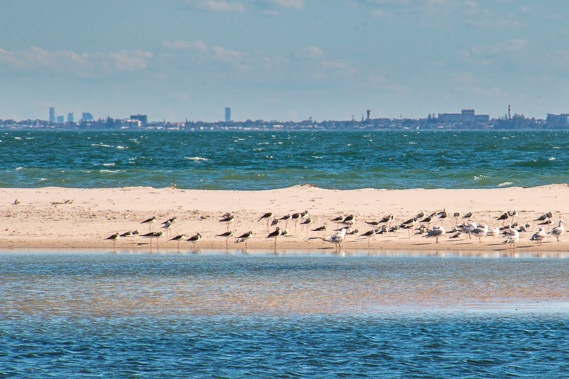 |
15:22 - Birds on the foreshore as the sea breeze ruffles the waters of Moreton Bay. |
 |
15:28 - Tidal lagoon entrance. I've already crossed this by heading around the back of Buckley's Hole. Now to turn the other way and head up the Pumicestone Passage. |
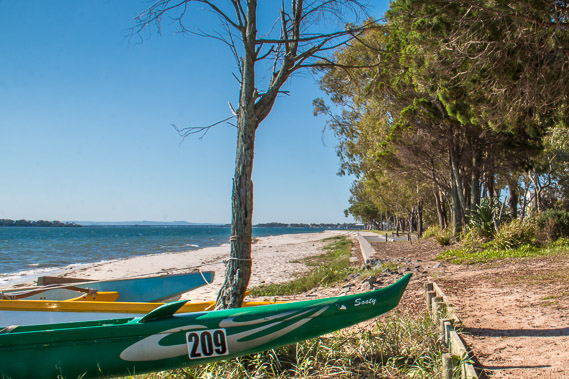 |
15:37 - Boats where the sealed track starts in Bongaree, the southern part of Bribie Island's main urban area. |
 |
16:33 - Stream now full of mangroves. This used to be a small port where boats would pull in and people would camp. The mangroves have reduced this to a narrow creek. |
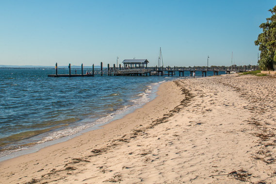 |
16:37 - The landing at the creek has been replaced with a new jetty nearby. |
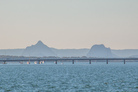 |
16:50 - View from the jetty of Mounts Beerwah and Tibrogargan with the Bribie Island bridge crossing the Pumicestone Passage. |
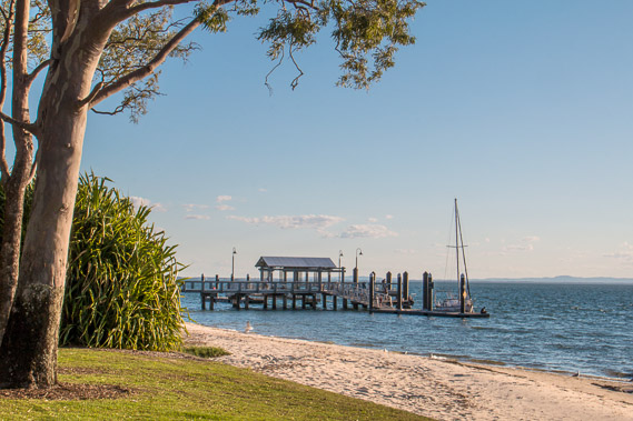 |
17:07 - Looking back at the jetty as the sun drops low. |
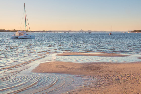 |
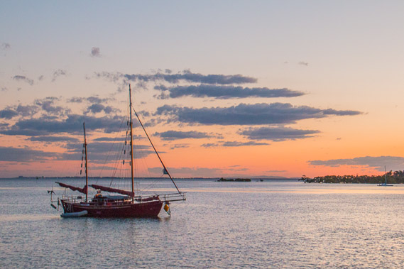
17:39 - Boats moored in the calm Pumicestone Passage. |
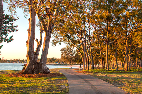 |
17:51 - Large trees reflecting the last of the afternoon sunshine as I reach Bellara. Hard to believe rain was threatening this morning. |
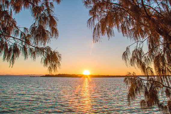 |
17:53 - The sun sets through the silky oaks. |
 |
18:03 - Sandstone Point at the entrance to Pumicestone Passage. |
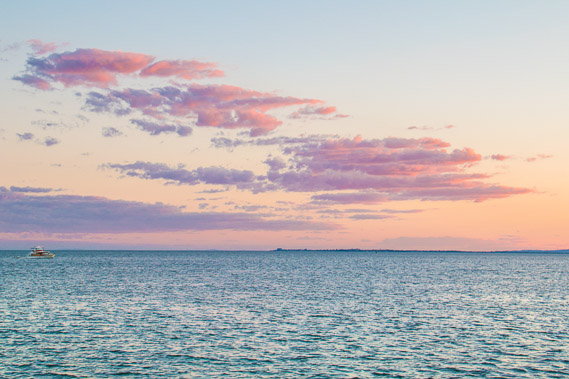 |
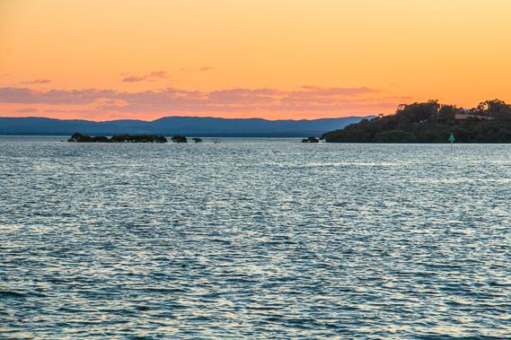
18:04 - Cloud formations picking up the last of the sunlight over Moreton Bay. |
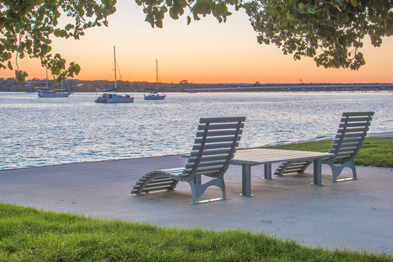 |
18:09 - Chairs overlooking Pumicestone Passage. |
 |
18:20 - Final light of the day over the entrance to Pumicestone Passage. Sandstone Point is on the other side, my intended destination tomorrow night. |
|