This week in South East Queensland
15 - 21 October
PUMICESTONE Passage was first explored by Matthew Flinders in his sloop the 'Norfolk' in 1799. This was the first European expedition of Moreton Bay. He headed up what he called Pumicstone River, named after the abundance of pumice on its shores, in search for a suitable location for a new settlement on the northern half of Australia's east coast.
Today's hike takes me into forest in the middle of Bribie Island. I follow a track north westward until reaching the Pumicestone Passage. From there I head south around the shore until reaching the Bribie Island Bridge. I cross over back to the mainland at Sandstone Point.
Today's Journey
Distance hiked today: 27.7km
Total distance hiked to date: 306.0km
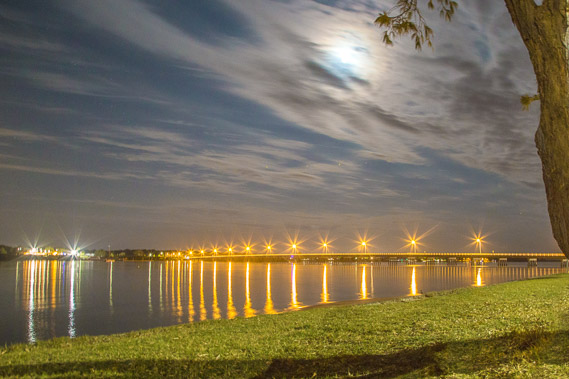 |
04:01 - The moon setting behind the Bribie Island Bridge - the only road and pedestrian access between the island and the mainland. |
 |
04:25 - The warm glow of the light pollution above Brisbane city. The bright white lights are the Redcliffe Peninsula with the city centre directly behind it. The bright yellow light on the horizon is the port of Brisbane. |
 |
04:40 - The sky lightens with the dawn breaking to the left of this image. The lights of the city are equally bright creating interesting colour effects. |
 |
04:47 - The lights are still on at the bridge as the cloud system hovers overhead. Although it is near, I don't be crossing over back to the mainland until tonight. I will be hiking through the middle of the island before returning to the coast and heading south to the bridge. |
 |
05:10 - Cloud patterns over the city and the calm Pumicestone Passage. Looks like today is going to be quite gloomy. |
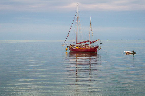 |
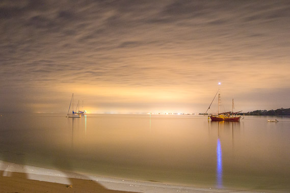
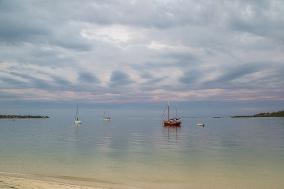
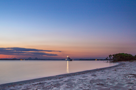
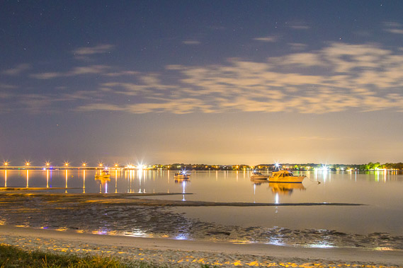
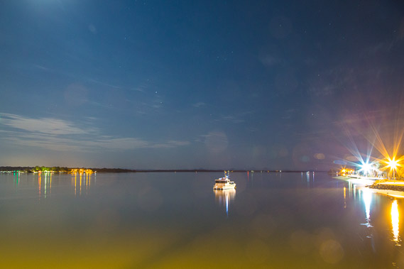
05:13 - A wooden yacht moored offshore in the calm waters of Pumicestone Passage as the sun rises hidden in the cloud behind me. |
 |
05:20 - I head inland just before reaching the bridge as the sun rises shining through the golden clouds. |
 |
05:36 - A worn out sign welcoming visitors who have just crossed the bridge to Bribie Island. |
 |
05:47 - The town centre with lots of road works. The road directly ahead goes across the island to Woorim where I passed yesterday. I'm heading left to head north down the middle of the island. |
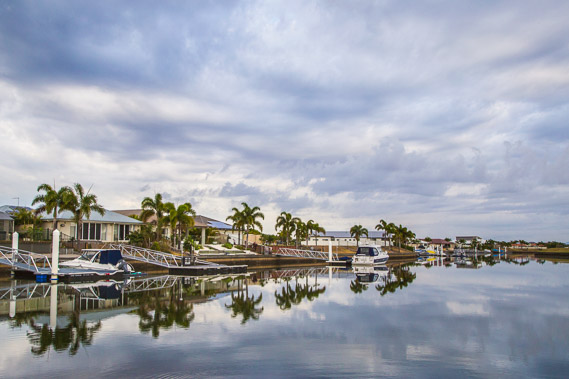 |
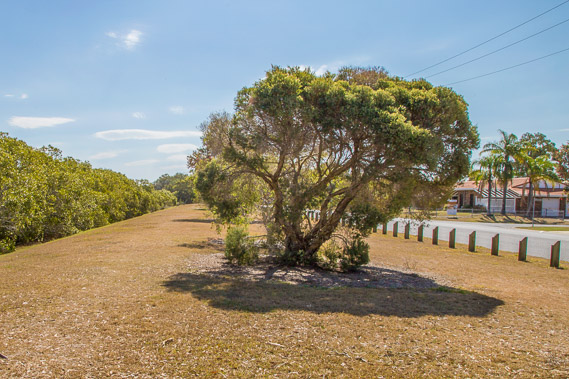
06:34 - Although I head inland, it is not long before I reach a large canal estate in the new area of Bribie Island north of the bridge. |
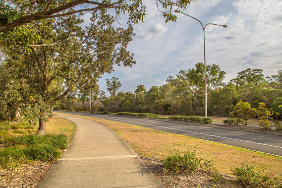 |
07:23 - The path and road follow around the back of the canal near the middle of the island. |
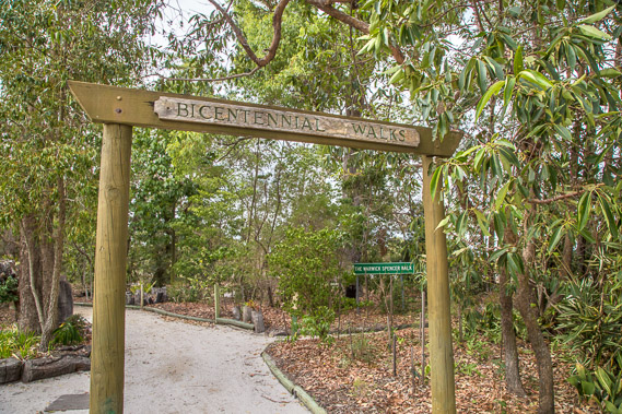 |
07:49 - Beside the community arts centre is the start of the bicentenary walks. I have not done any forest walks since coming off the Cooloola sandmass. It will be interesting to see how this forest compares. |
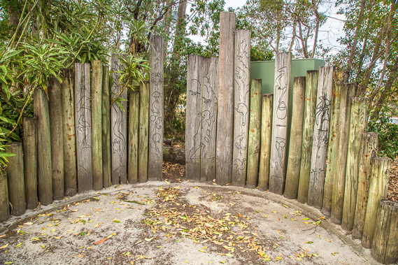 |
08:00 - An Aboriginal wood display at the start of the main track. |
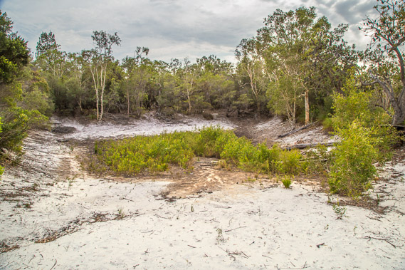 |
08:15 - A dried out billabong about ten minutes along the track. Although rain has threatened this morning, the cloud is already starting to break up. No rain has fallen here for a couple of months causing the little lake to dry out. |
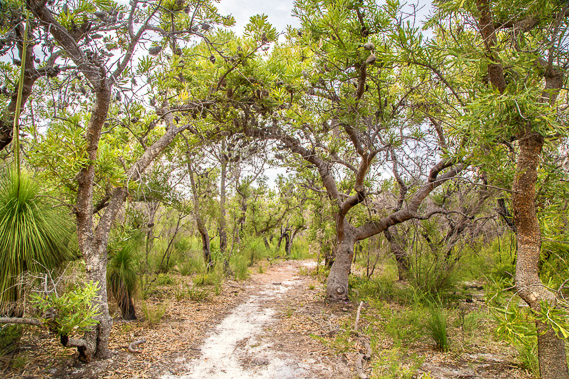 |
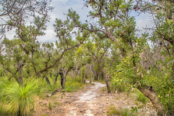
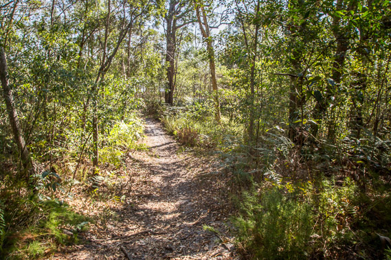
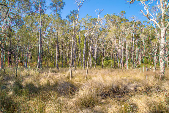
09:37 - I follow the track into the forest in the national park. This is similar bush to what I had passed through on top of the southern end of the Cooloola Sandblow. Here it is mostly banksias with almost no gum trees. |
 |
10:48 - The cloud breaks up overhead as I continue through the banksia and grass tree forest. Although cloudy in this direction, blut sky is opening up to the west and south. |
 |
12:57 - Eventually the track comes out on the road in a new estate. By now most of the cloud has dissolved away. |
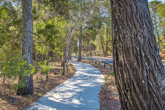 |
14:08 - A good concrete path winds through the trees going through White Patch. The sealed road to my right heads up the island all the way to the track out on the main beach between the camping ground and the military ruins I had passed the day before yesterday. |
 |
14:27 - The track turns off the road going over the forested dunes. |
 |
14:44 - The track descends into grassland just above the high tide line. |
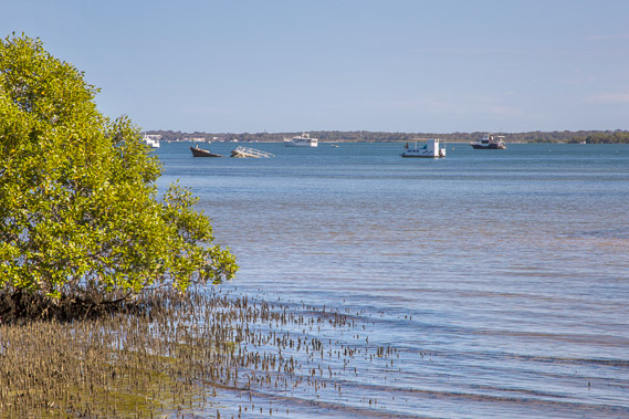 |
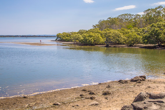
14:52 - I reach the coast as far north I can go. North of here the Pumicestone Passage is flanked by mangrove forest. The tide is quickly coming in. One boat has sunk offshore in amongst the moored boats. |
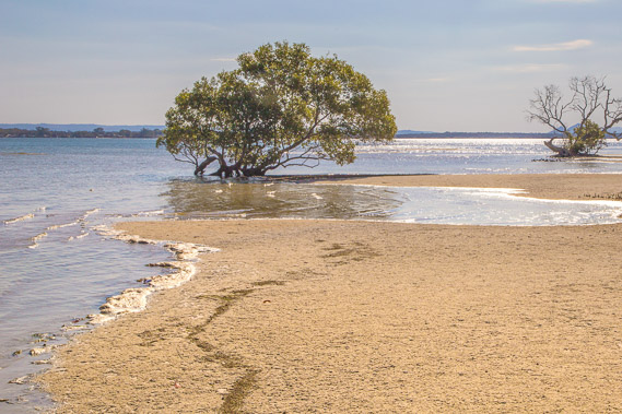 |
15:03 - The tide sweeping in over the sand flats. |
 |
15:06 - I head back along the coast back towards Bellara quite some distance away. Water quickly floods the flats, but before I get wet, I find a track back up onto the low sandhills at White Patch. |
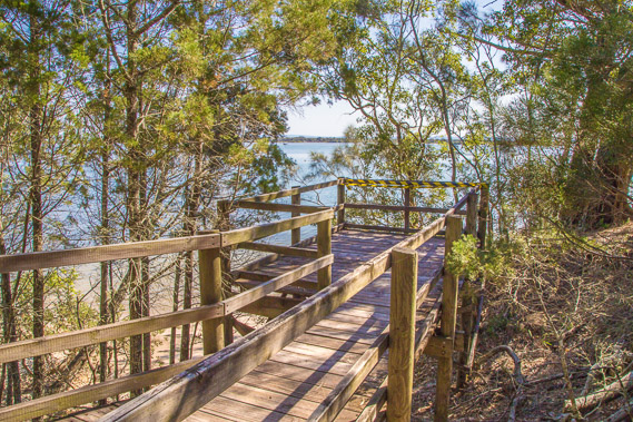 |
15:28 - Another walkway down to the beach. This one has some damage, but still reasonably safe. |
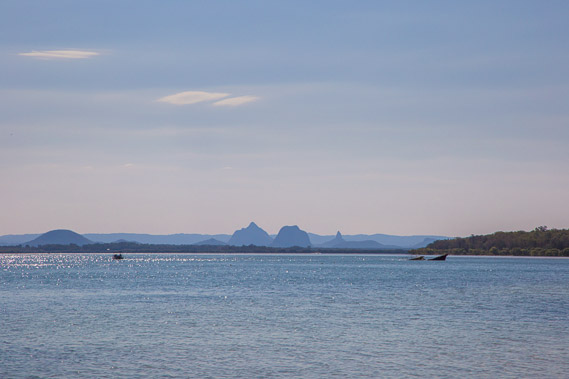 |
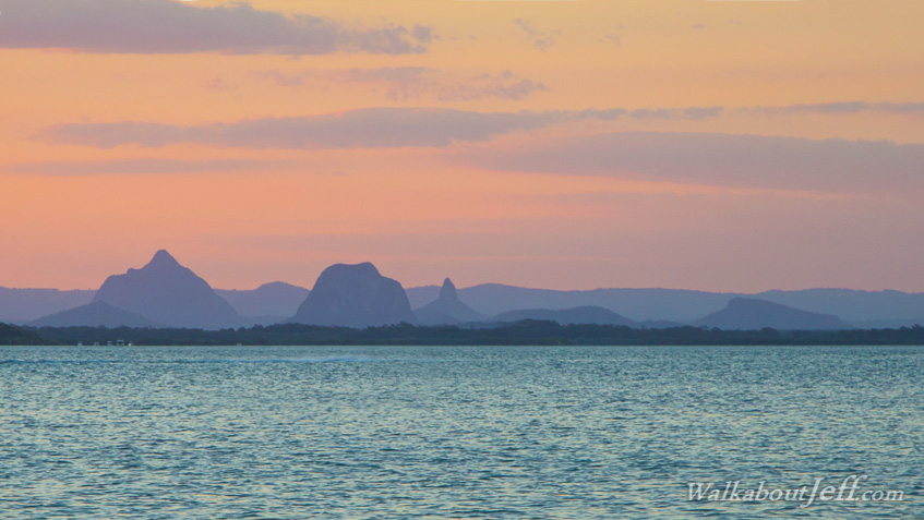
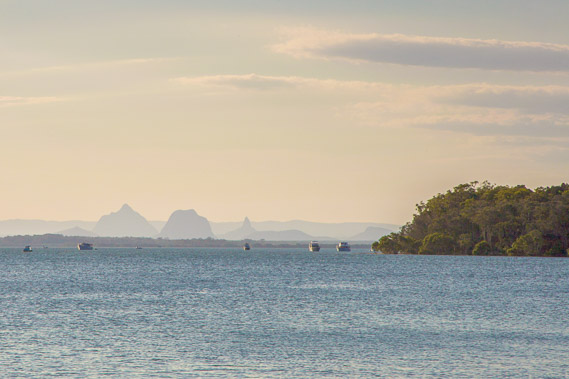
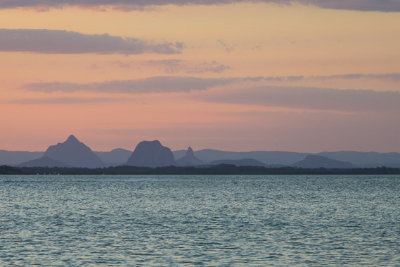
15:43 - Looking across the Pumicestone Passage to the Glasshouse Mountains. From left to right are Mount Beerburrum, Tiberoowuccum, Beerwah, Tibroogargan, Coonoorin and Ngungun (just visible above the sunken boat). |
 |
16:12 - The tide continues to come in heading up a stream. By now I'm following a road above the water. |
 |
16:26 - I take a pedestrian bridge across a quickly flooding tidal stream to Col Fisher Park. |
 |
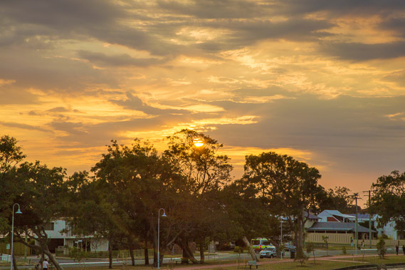
16:50 - Glasshouse Mountains viewed from the park as the sun sinks very low over the horizon. Captain Cook named the Glasshouse Mountains, perhaps because they looked like the glasshouses in England. He also named Moreton Bay and believed there was a river feeding it and a potential port. |
 |
17:14 - Lookout over a protected bird sanctuary at Kakadu Beach. The track goes around the back of the sanctuary to protect the beach. |
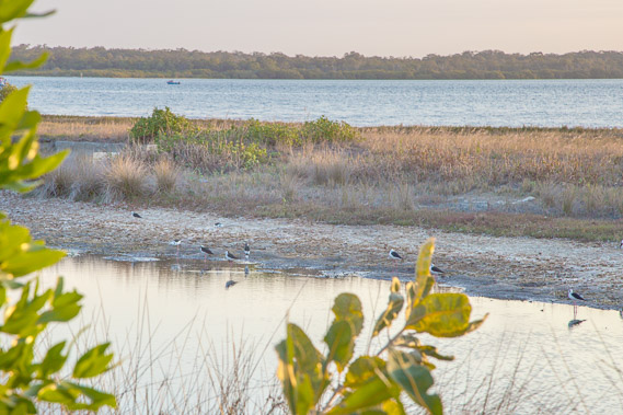 |
17:22 - There are a few birds on the beach in the sanctuary tonight. |
 |
17:45 - At the end of the sanctuary I reach the southern end of Kakadu Beach from where I watch the sunset. |
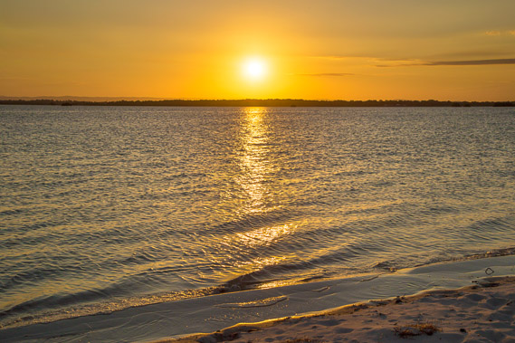 |
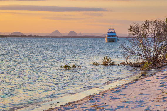
17:48 - The sun is already dropping quite low over the passage. The passage was first explored by Matthew Flinders, who had assumed this was the river draining into Moreton Bay. He headed up the passage in search for a fresh water source to base a port town. |
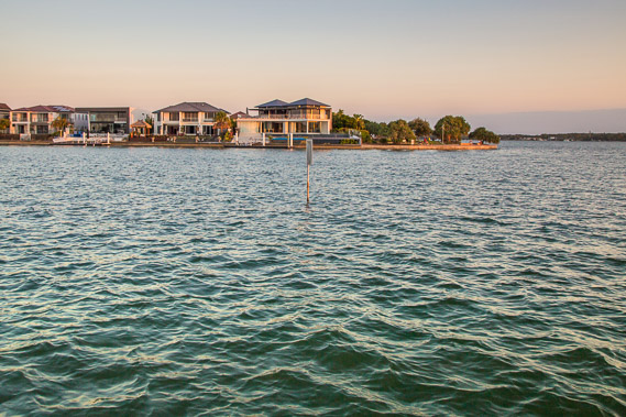 |
17:52 - Canal at the end of the beach, with large houses on either side. |
 |
17:58 - Glasshouse mountains purple as the sun sets. |
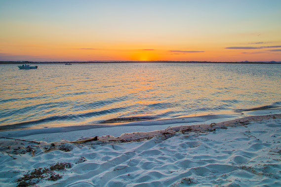 |
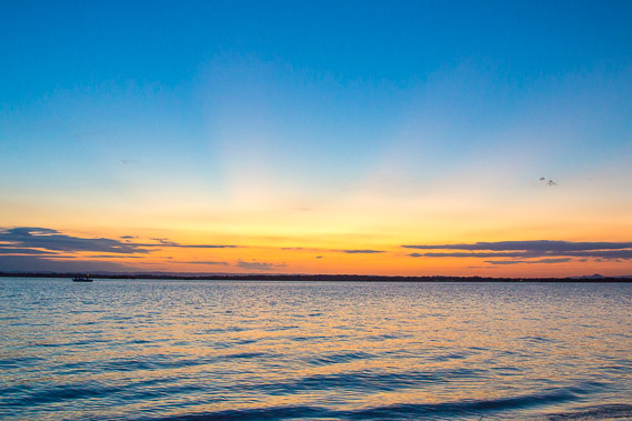
18:00 - The sun sets over the beach. The boats head home. As Matthew Flinders found out, you can easily navigate the entire length of the Pumicestone Passage, eventually reaching Caloundra. |
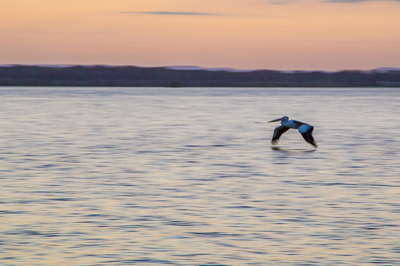 |
18:16 - A pelican flies very low over the water back towards its nest. When the sea level rose at the end of the last ice age, the low valley between the island and the mainland filled with water. There are a few streams draining into the passage from the Glasshouse Mountains, but they are not substantial enough to have filled the passage with silt, nor were they fresh enough to support any settlement. |
 |
18:23 - The final colours of the dusk with rays of light shining through the gaps in the clouds. |
 |
18:36 - The sky grows dark as I leave the beach heading back around the canal estate. |
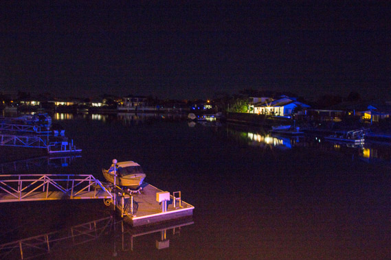 |
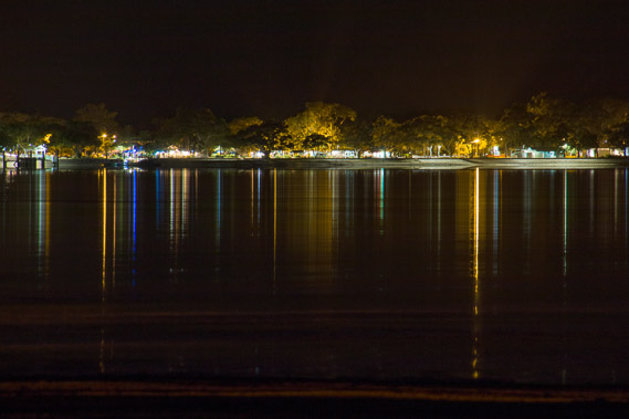
19:09 - One of the canals in the darkness of the moonless night. |
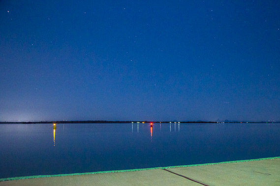 |
20:29 - Reaching the beach at the other end of the canal. A concrete wall rises above the water. Boats and nagivation lights provide the only illumnation over the Pumicestone Passage above the moonlight. |
 |
20:38 - Heading along the beach, I get the first view of the bridge which I aim to cross tonight. |
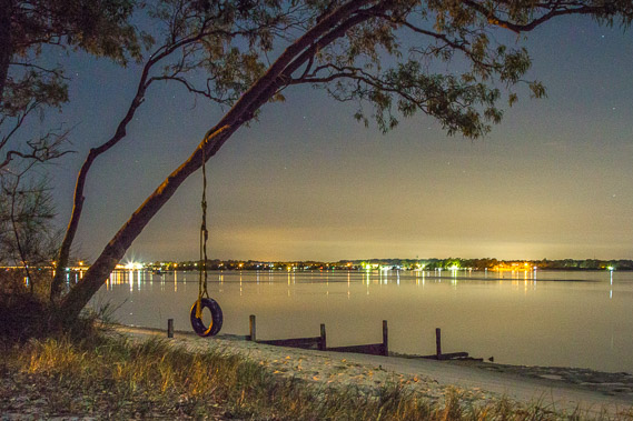 |
20:52 - A lonely swing over the sand as I reach the older residential area of Bellara. |
 |
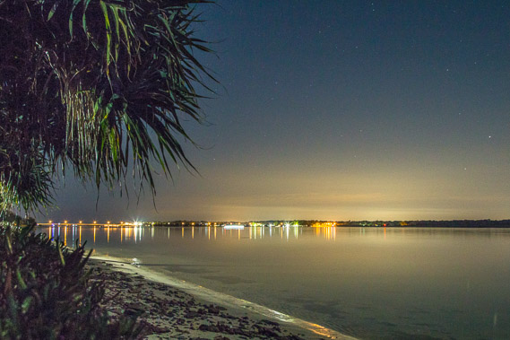
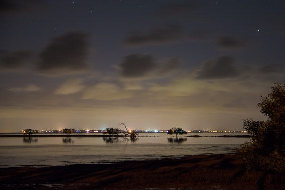
21:03 - At the main bay in Bellara. Boats sit still on the passage as the glow of the city illuminates the clouds above. |
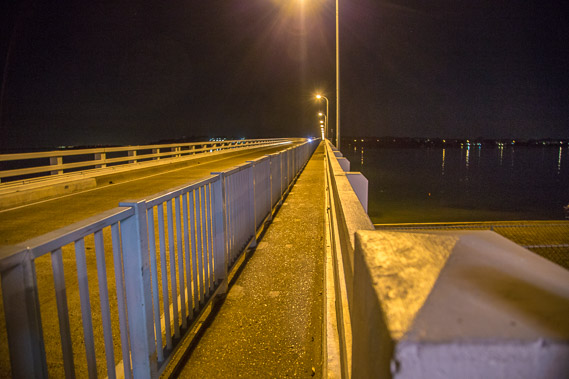 |
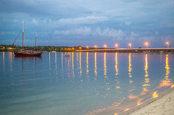
21:17 - The rickety Bribie Island Bridge. Very busy by day, this is the only link between the island and the mainland. |
 |
21:19 - View of the passage from the bridge. I cross over the bridge to Sandstone Point and follow a road a couple of hundred metres to a beach just on the other side of the point. |
 |
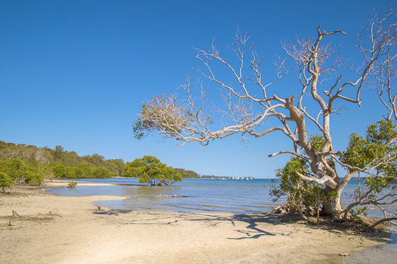
21:40 - View at Sandstone Point. This is the start of Deception Bay, named by Flinders after he realised the Pumicestone Passage wasn't the river leading to a promised settlement. He will need to look elsewhere. |
 |
21:45 - Look back around the point to Bribie Island where I stayed last night. It is only a few hundred metres away despite the long hike today. |
|