This week in South East Queensland
14 - 20 January
MOST people will have returned to work by now, so the peak travel time has passed with things gradually getting back to normal over the coming weeks. The holiday makers crowding the city over the past fortnight are now replaced with the workers commuting in from the suburbs each morning only to return each evening, a diehard habit from the industrial age which which will continue for many years to come. With the peak holiday season drawing to a close, it is now starting to become safe to travel to the local attractions again.
Today's hike takes me along the eastern suburbs' coastline from Wynnum Creek to Manly Harbour, where I take a boat out into the bay to explore historic St Helena Island, only accessible in a tour group, before returning to the mainland and continuing along the coast to the mouth of Tingalpa Creek where Brisbane ends and Redlands begins.
Today's Journey
Distance hiked today: 18.7km
Total distance hiked to date: 596.9km
 |
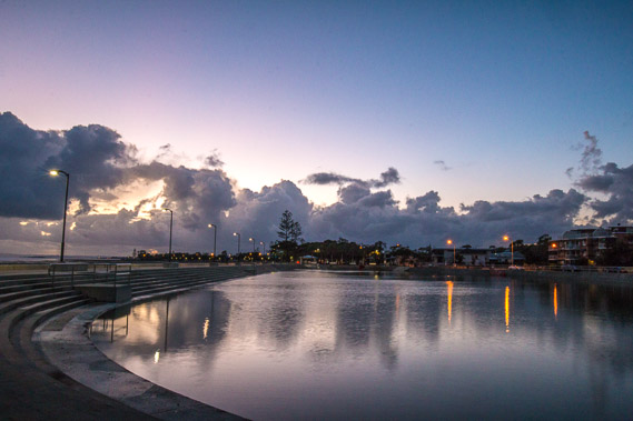
03:59 - The tide is out on Wynnum Creek before first light as clouds sweep in from the south easterly prevailing winds. |
 |
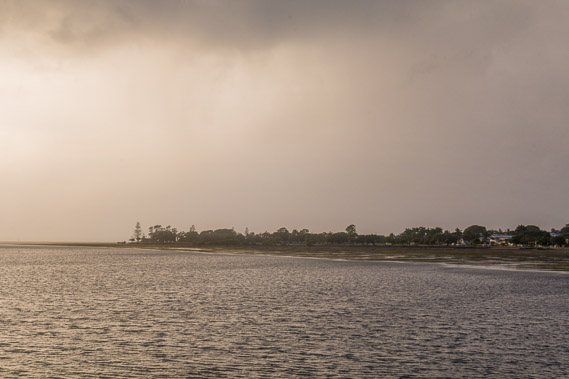
04:16 - I reach the mouth of the creek starting to head towards Manly Harbour. Looking back over the creek to the port of Brisbane. |
 |
04:29 - The sky lightens as I start heading towards the lights of Manly. |
 |
04:44 - Reaching the Wynnum Wading Pool. The wind begins to ruffle the surface of the water. |
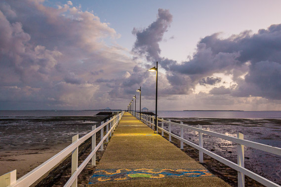 |
04:46 - Heading out onto Wynnum Jetty to watch the sunrise as clouds close in. |
 |
04:48 - Rainclouds are quickly approaching as I look out towards Manly Harbour. |
 |
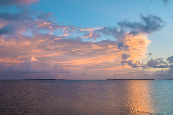
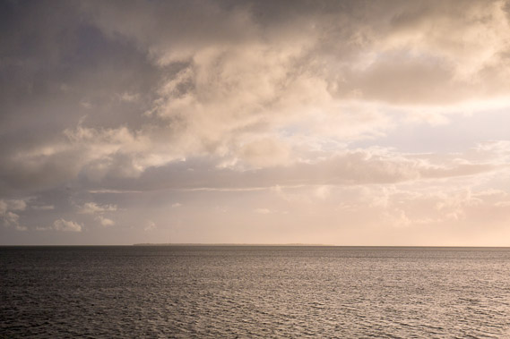
05:02 - Spectacular sunlight on the clouds above Green Island with North Stradbroke Island in the background. The clouds at their most spectacular. |
 |
05:04 - They are spectacular even looking back towards the city and port. The cloud looks like it is on fire. |
 |
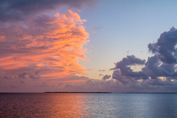
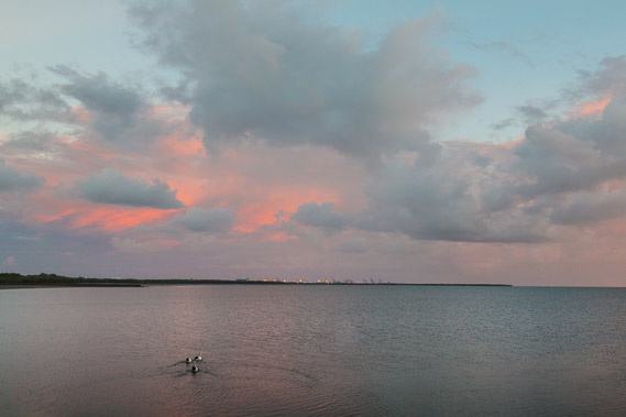
05:05 - The clouds out on the bay become even more spectacular as the sun now rising over the horizon captures more of them, Below the clouds are St Helena Island to the left and Green Island to the right. These are part of the chain of the Green Isles spanning from the mouth of the Brisbane River southward towards Wellington Point. |
 |
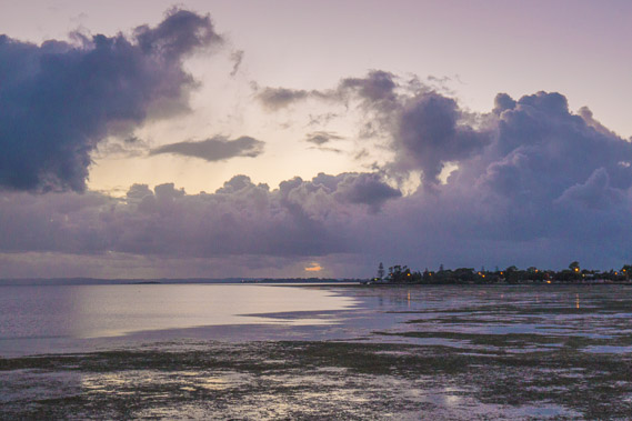
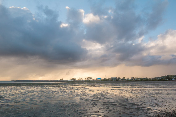
05:26 - Rain is falling inshore and it won't be long before it will be falling here as well. |
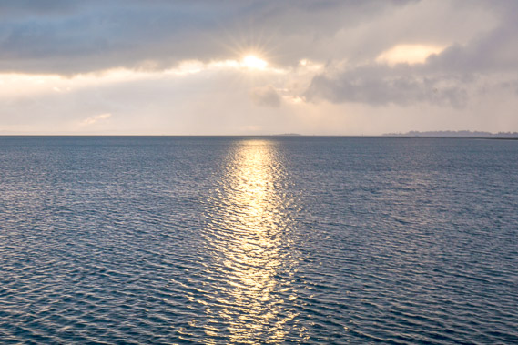 |
05:29 - The sun shines through a gap in the clouds briefly a short time after rising. |
 |
05:35 - Rain is falling over the nearby headland at Manly. |
 |
05:37 - The Green Isles and the islands beyond are almost completely hidden by the yellow sheets of rain falling over the bay. Luckily I'm under a shelter here at the end of the wharf. |
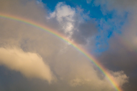 |
05:42 - A spectacular rainbow appears against the rain clouds. |
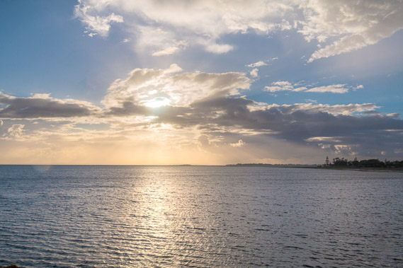 |
05:45 - The clouds are clearing ahead. |
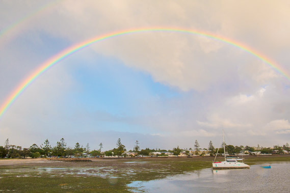 |
05:46 - Causing the rainbow to span spectacularly across the sky. |
 |
06:12 - I head back to shore with the sky clearing, but see more rain is coming, so I need to quickly head towards the Manly Marina even though there is plenty of time to go before I need to catch my boat. |
 |
07:19 - Heading around the point, Manly Harbour comes into view. |
 |
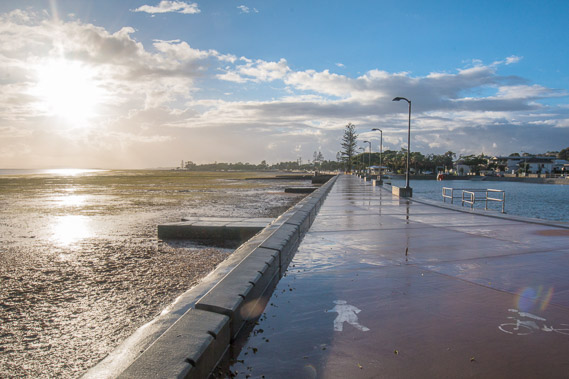
07:49 - When the rain clears, I walk out along the breakwater of Manly Harbour. |
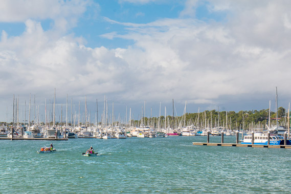 |
08:20 - Heading back inshore along the breakwater with a view into the harbour. |
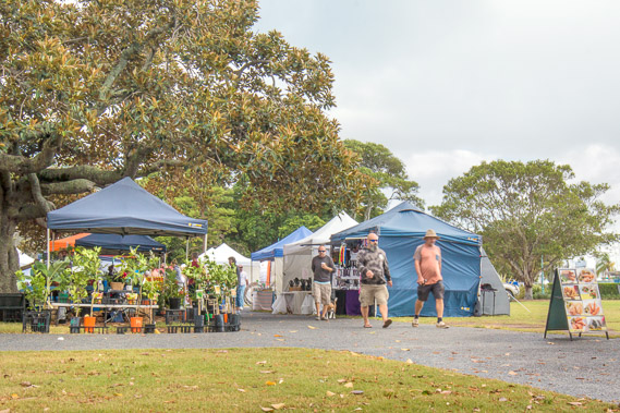 |
08:37 - With an hour to spare, I stop at the Manly Markets before returning to the harbour to catch my boat. |
 |
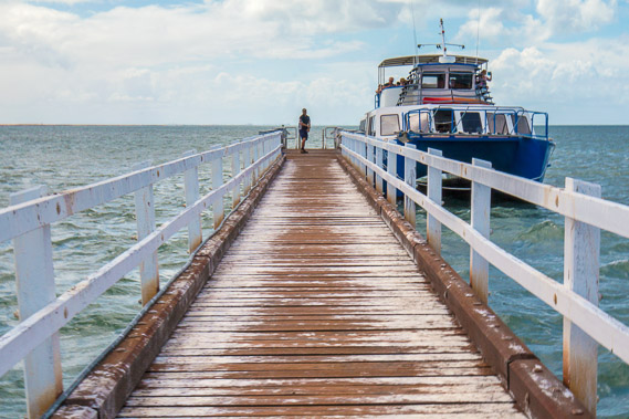
09:19 - I catch the boat heading out through the harbour towards the bay. St Helena Island is quite some distance offshore and only open to organised tour groups with only one tour boat heading out a couple of times a week. |
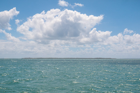 |
10:22 - Passing Green Island over the shallow ruffled waters of Moreton Bay. The Bay is a lot shallower on this side of the mouth of the Brisbane River. |
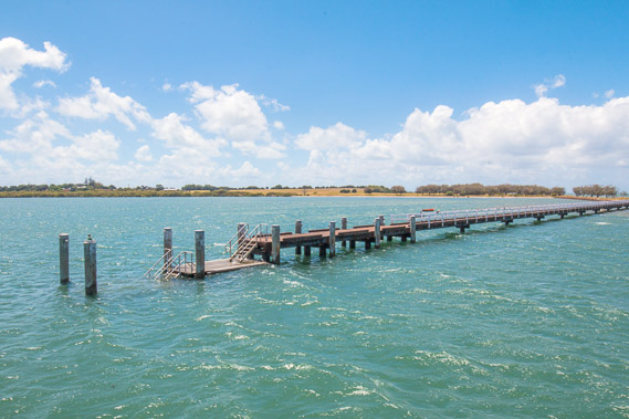 |
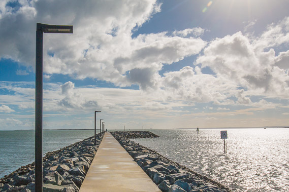
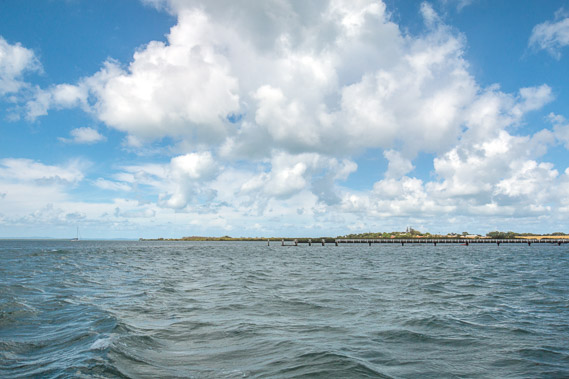
10:44 - Reaching the long pier at the end of St Helena Island, accessible only by boat. The pier is very long because the water all around the island is very shallow. |
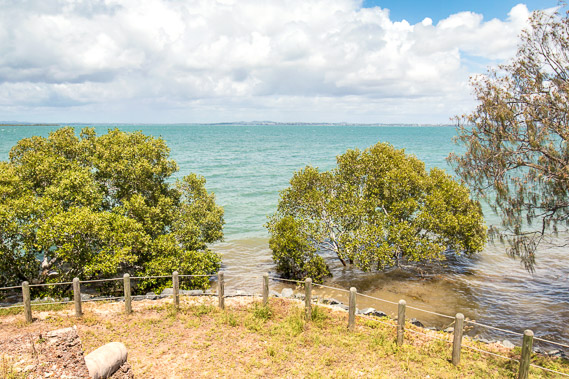 |
11:37 - On St Helena Island just above the wharf, looking past a few mangrove trees back over the bay. Manly seems quite a long way across the bay. |
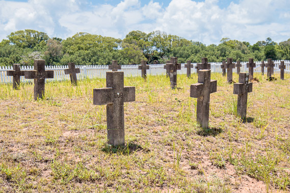 |
11:42 - The cemetery of the prisoners who died here whilst serving their sentences. This island was once a prison where the criminals sentenced to hard labour were sent. |
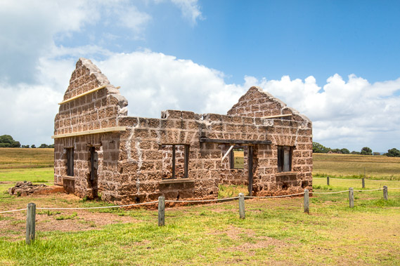 |
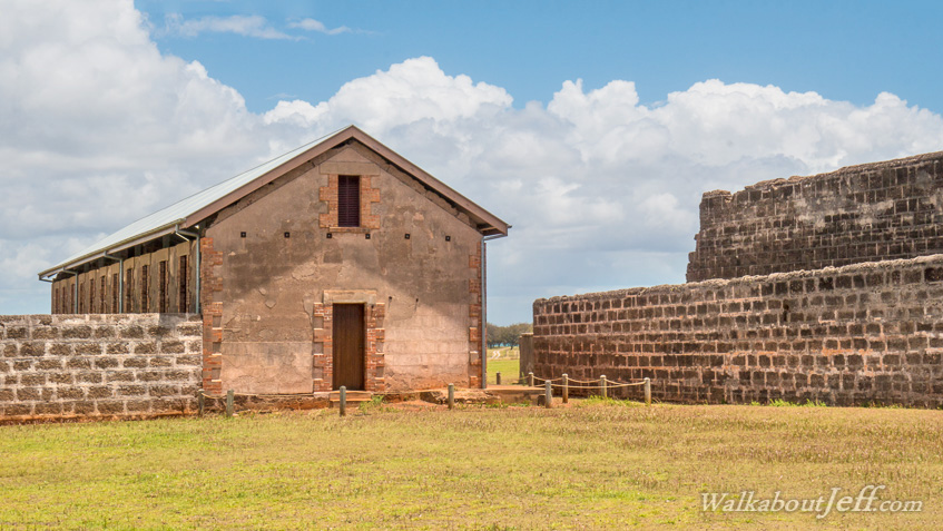
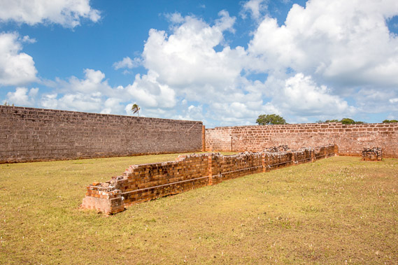
12:08 - Remains of the carpenters' shop on St Helena Island. The prison was a self-contained community in the newly independent state of Queensland. Without funding from New South Wales, it was forced to become self-sufficient and actually became quite profitable from the different industries operating from here. |
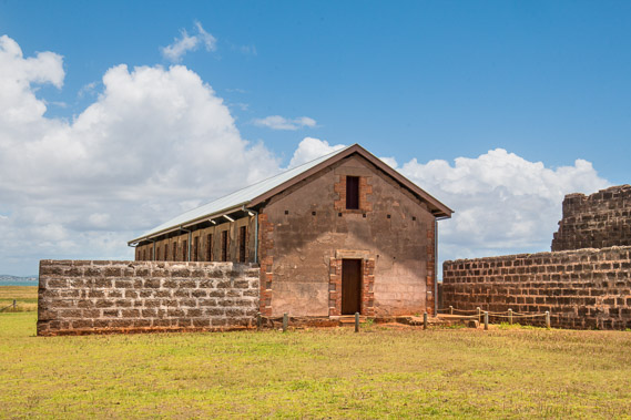 |
12:20 - Parts of the prison that has survived many years after it was abandoned. The island is now a reserve and the ruins a protected heritage site. |
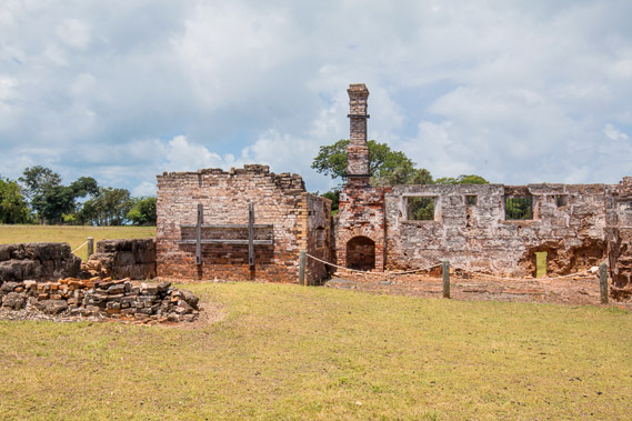 |
12:25 - The prison kitchen. The island was named St Helena after the island in the South Atlantic where Napoleon Bonaparte. It was named when one Aboriginal prisoner named Napoleon was sent here and the island didn't have a name. He escaped 4 days later in a canoe and was never seen again. |
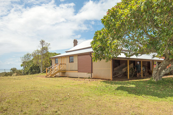 |
12:43 - The governors' residence now used as a museum. |
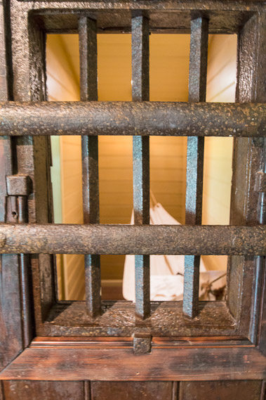 |
13:00 - Prison cell in a museum in what was once the governor's house at the top of the hill. Hammocks were strung across each cell which housed twelve prisoners. |
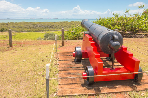 |
13:36 - Another cannon used in the battle of Waterloo and donated to the Queensland Government. Now preserved here curiously pointing directly to the Port of Brisbane. |
 |
13:46 - The common areas in the prisons, the only place where they were allowed to talk. Apparently the Australian Labor Party was first founded here. |
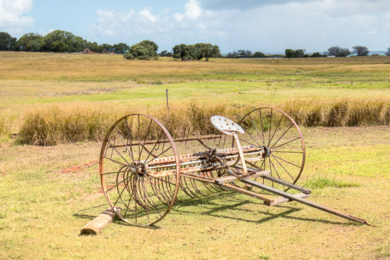 |
13:57 - An old horsecart near the short railway line heading up the hill from the port to the prison. Although crude and very bumpy, it is thought this railway was the first to be built here in Queensland. |
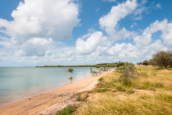 |
14:16 - Back out on the beach beside the port. This does look tranquil, but there are many horror stories of prisoners who attempted to escape only for some to return due to the mosquitoes being so bad around here, and the swim back to the mainland being too treacherous from the sharks lurking in the shallow waters of the bay. |
 |
14:21 - Heading back out onto the wharf to return to the mainland. |
 |
14:34 - Heading away from the island crossing the shallow waters back to Manly Harbour. |
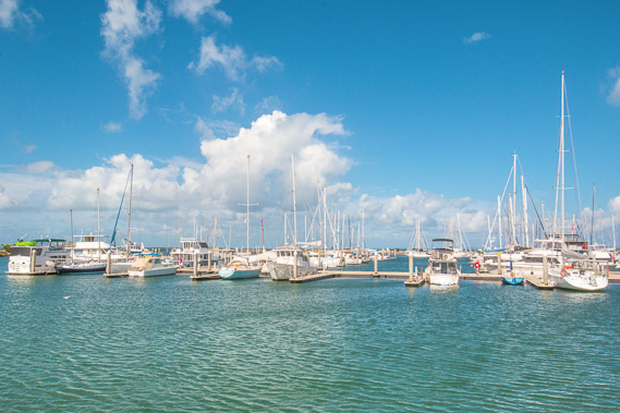 |
15:17 - Sailing back into Manly Harbour. |
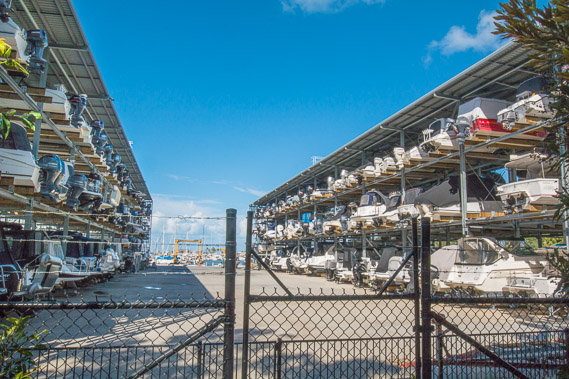 |
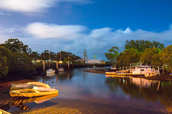
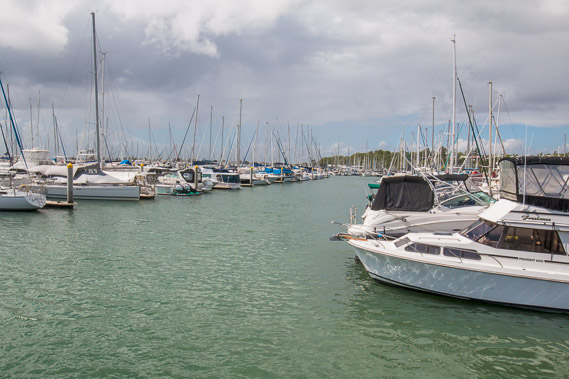
15:37 - Boat storage at the back of Manly Harbour. |
 |
16:41 - The tide is going out as I follow the coast towards Tingalpa Creek through Boxhead Park. Shortly after this point the track diverts inland. |
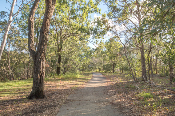 |
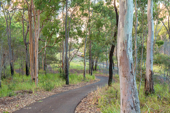
17:27 - The track follows Lota Creek upstream through open eucalyptus forest. |
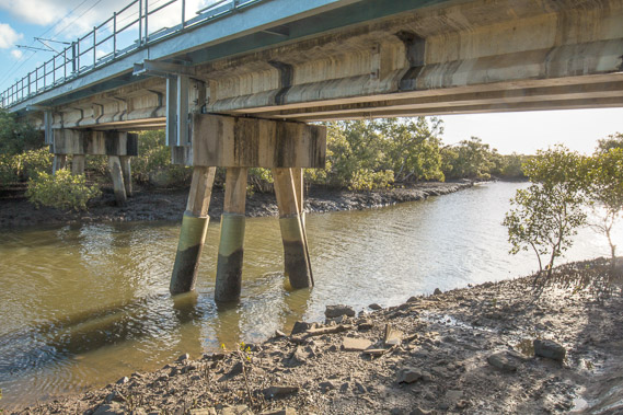 |
17:30 - Going under the railway bridge at Lota Creek. |
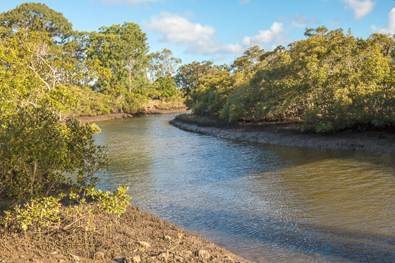 |
17:31 - Continuing upstream along Lota Creek with the tide almost completely out. |
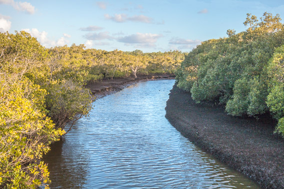 |
18:06 - A new walking track turns to the left going over a bridge crossing Lota Creek about two kilometres upstream from its mouth. |
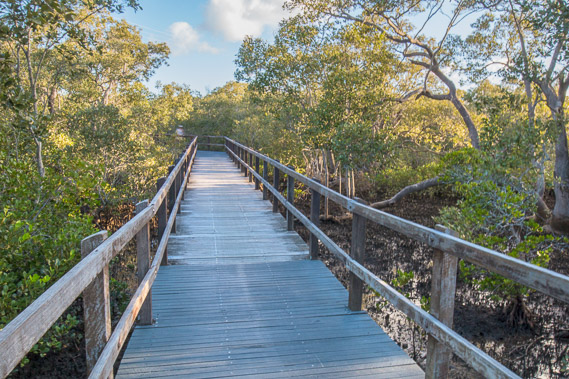 |
18:07 - The track continues as a boardwalk crossing extensive fields of mangroves. |
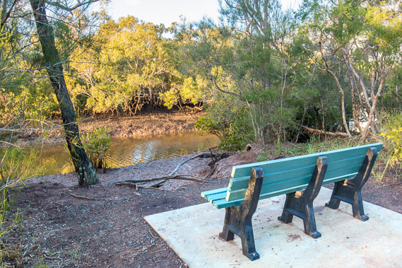 |
18:18 - Seat overlooking Lota Creek as the track now heads downstream along the edge of the forest. |
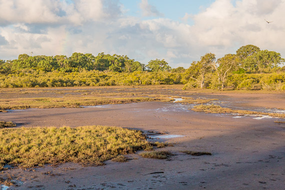 |
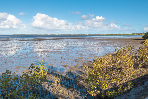
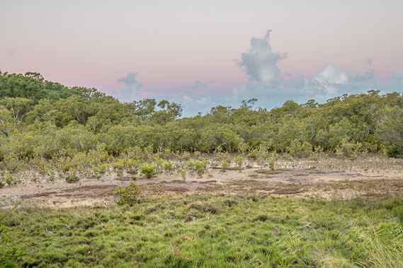
18:22 - Extensive mud flats as the track diverts away from Lota Creek. |
 |
18:38 - The track leaves the mud flats tracking through the forest From here I look back along the track to the railway line as it reaches the top of a low hill between Lota and Tingalpa Creeks. |
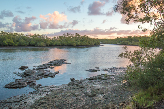 |
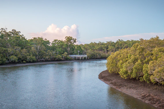
18:47 - Reaching Tingalpa Creek just as the sun sets. This is very big for a creek. Fortunately the track follows it upstream towards a bridge. |
 |
19:01 - The track heads upstream in the bush, with the occasional clearing over tidal pans but few views of the creek. The sun has set and the darkness is starting to rise over the eastern horizon. |
 |
19:06 - I reach a fishing platform overlooking the creek. The bridge is just a few hundred metres upstream, so I should be able to reach it before it gets too dark. |
 |
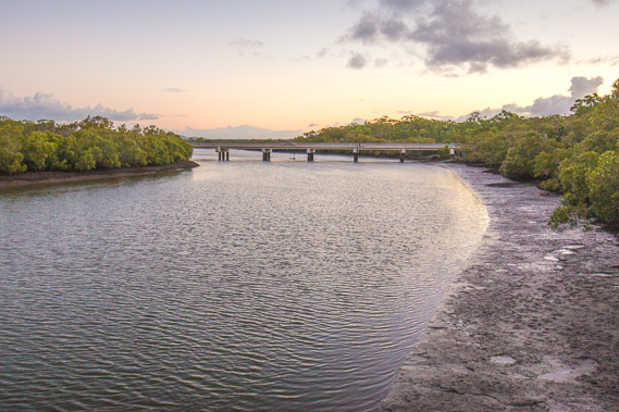
19:18 - View of the fishing platform from the bridge crossing the creek. The road crossing the bridge is quite busy, but fortunately there's a separate pedestrian/cycle lane. |
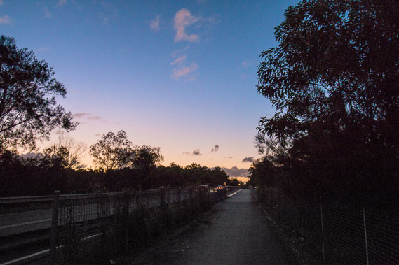 |
19:20 - Looking back over the bridge as the sky quickly darkens wiping away the last light of the day. |
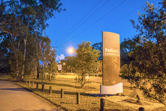 |
19:26 - Now I have crossed Tingalpa Creek, I've left Brisbane City and reached the start of Redlands Shire, which I'll be following over the next two days. |
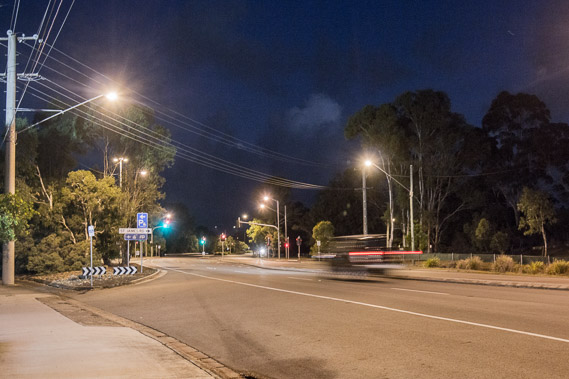 |
19:37 - I follow the road for another two kilometres up to my destination near the Thorneside Railway Station near the mouth of Tingapla Creek. |
|