This week in South East Queensland
21 - 27 January
AUSTRALIA Day falls on this week, commemorating the arrival of the first fleet into Sydney in 1788, carrying mostly criminals sent half way around the world to this hostile environment to serve out their sentences. It is still celebrated around Australia despite the underlying controversy it brought, with the sudden invasion of the world's oldest civilisation who had happily lived here for some 65,000 years. Controversies aside, Australia Day is celebrated as our national day where we celebrate everything Australian, and for many long-term immigrants, the all important citizenship ceremony to seal their permanence as Australians in our largely migrant society.
Today's hike starts at the mouth of the Tingalpa Creek, following the coast around Waterloo Bay to Wellington Point. From there it heads through Geoff Skinner Reserve to Cleveland Marina.
Today's Journey
Distance hiked today: 10.0km
Total distance hiked to date: 606.9km
 |
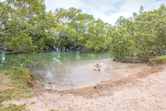
04:14 - First light at the mouth of Tingapla Creek, though there is too much mangrove to see the creek. |
 |
04:59 - Large houses overlooking the waterfront hidden from view by the mangroves. |
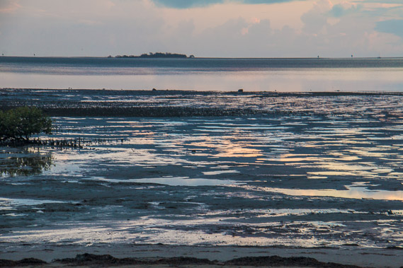 |
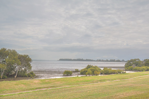
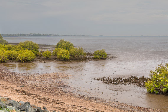
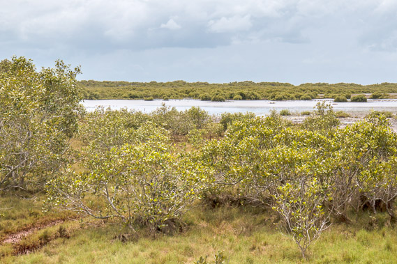
05:03 - The mudflats at Birkdale at low tide with King Island, the southernmost of the Green Isles, offshore. |
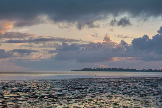 |
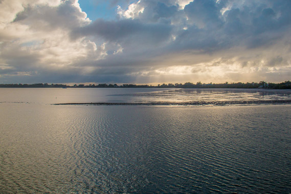
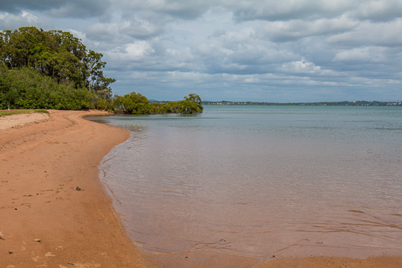
05:11 - Looking across the mudflats of Waterloo Bay to Wellington Point. Rain had fallen overnight, but it does look like more is on the way as the thick clouds hide the sun now rising over the horizon. |
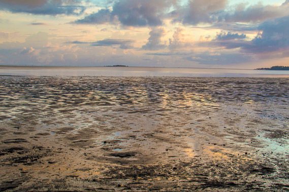 |
05:19 - The rising sun turns the soft mud flats into a golden hue. Waterloo Bay was named after the Battle of Waterloo of 1815 in what is now Belgium. |
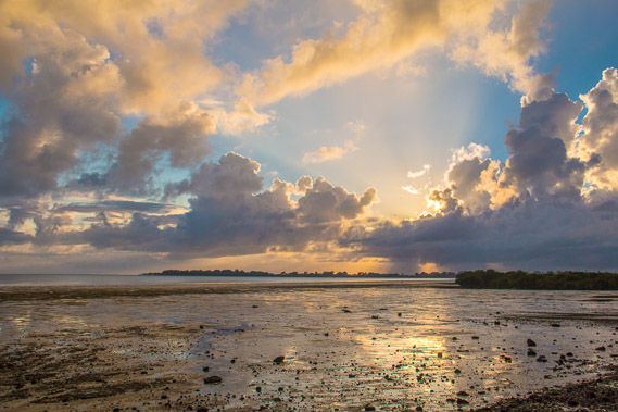 |
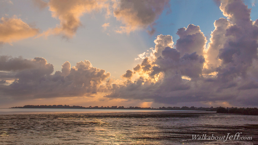
05:22 - Rays of sunlight from the rising sun dance over the towering rain clouds looking towards Wellington Point. The point was named after Arthur Wellesley, the first Duke of Wellington who led the coalition of forces against Napoleon Bonaparte in the Battle of Waterloo. |
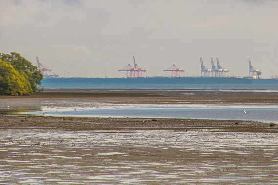 |
05:23 - Zoomed in back to the Port of Brisbane as I walk along the foreshore parkland at Birkdale. Here I meet one of the crane operators walking in the park following his night shift. |
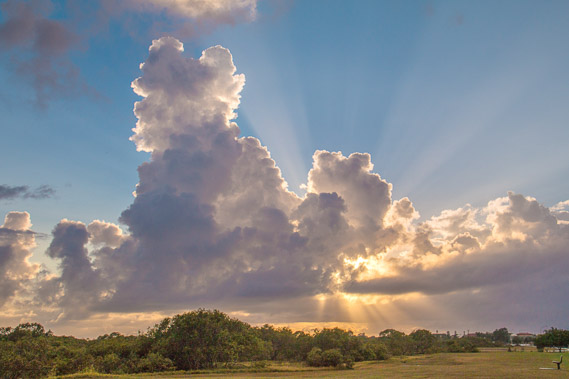 |
05:39 - The sun shining dramatically through the approaching rainclouds. |
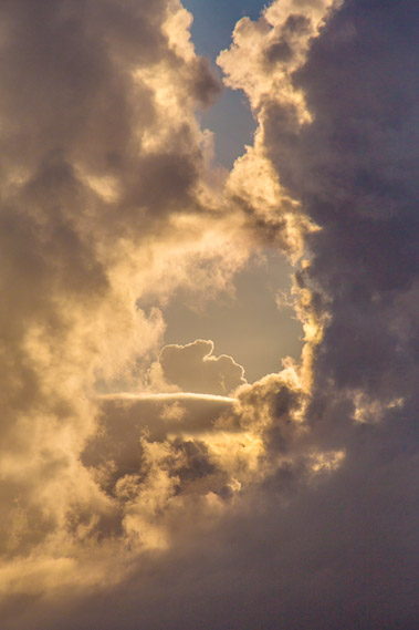 |
06:02 - The columns of cloud closes in soon to bring rain. |
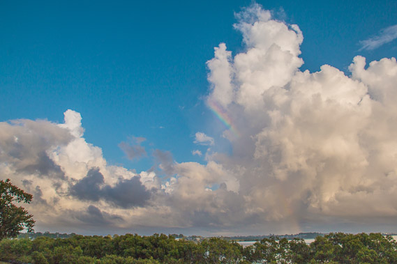 |
06:05 - A rainbow begins to appear on the other side of the mangroves looking back towards Manly. |
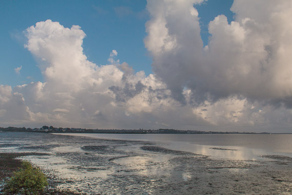 |
06:29 - Clouds crossing the bay heading towards the northern suburbs. Clouds crossing Waterloo Bay heading towards the northern suburbs. Despite the names of Waterloo Bay, Wellington Point, and yesterday's St Helena Island, there is nothing else today linking back to the Battle of Waterloo - none of the cannons I've seen in recent days. |
 |
06:30 - Looking across the mouth of a small canal at Birkdale towards the narrow peninsula of Wellington Point from where I have breakfast at one of the picnic tables before the rain will start falling. From here I need to double back a little and head around the back of the canal. |
 |
07:01 - The canal estate at Birkdale creating quite a detour on my way to Wellington Point. |
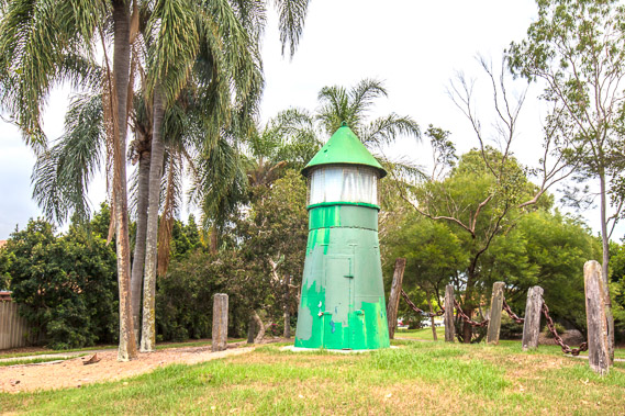 |
07:39 - A lighthouse scupture at the back of the Birkdale canal as rain begins to fall. |
 |
07:59 - Rain falls in heavy showers as I return to the coast having negotiated my way around the canal. |
 |
08:01 - Looking back around the bay through the mangroves as the tide now comes in and rain continues to fall from above. |
 |
08:38 - Glimpse of the sea through the mangroves. |
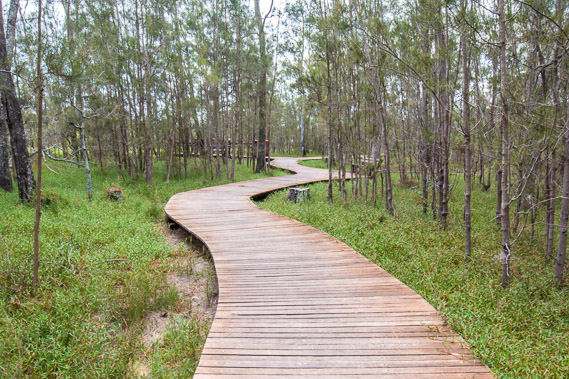 |
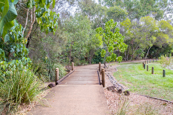
08:44 - Boardwalk passing through wetland forest as rain continues to fall. I'm now close to the start of the Wellington Point peninsula. |
 |
09:44 - The rain clears before I reach the peninsula and quarter of an hour later I reach this viewpoint half way along. Looking back to Birkdale. |
 |
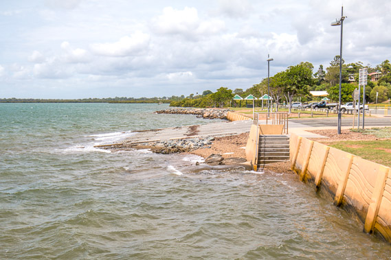
09:57 - Reaching the golden beach near the end of Wellington Point. This view looks back towards Birkdale. |
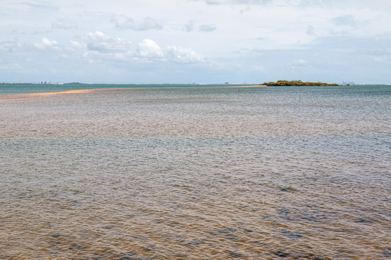 |
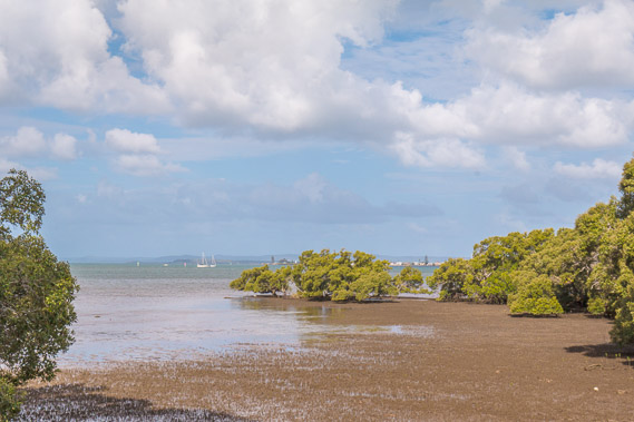
10:00 - Looking out from the beach towards King Island, the southernmost of the Green Isles which started with Mud Island near the mouth of the Brisbane River. There is a long sand spit linking the mainland to the island which dries at low tide Unfortunately the tide has already come in too far for me to be able to head out there. |
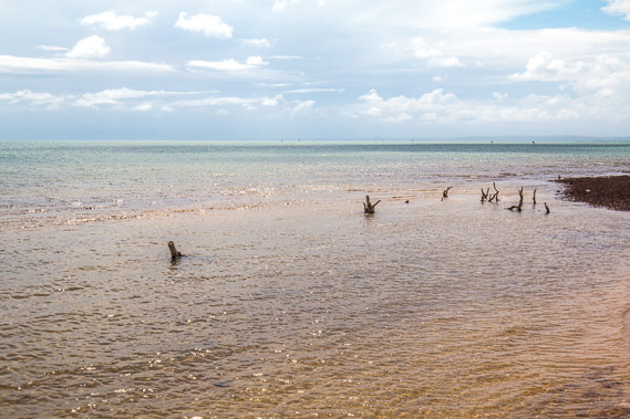 |
10:02 - The end of Wellington Point with stumps in the water. North Stradbroke Island is now visible in the distance to the right. |
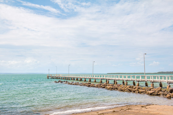 |
10:30 - Wellington Point Jetty going out into the deeper water offshore. A marked channel leads between the shallow sand banks to this jetty. |
 |
10:31 - Looking further along the coast from the start of the jetty. It is mostly mangroves from here to Cleveland, so I'm not expecting to see many sea views after leaving this park. |
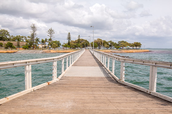 |
10:34 - Looking back from the end of the jetty at the Wellington Point parkland. Although far back in history, the Battle of Waterloo is commemorated in many parts of the world (New Zealand's capital city...). If Napoleon Bonaparte had won, perhaps Australia and other British colonies would have become French Empires, and the French language would have the world wide dominance the English language now holds. |
 |
10:35 - View of the end of Wellington Point and King Island from the end of the jetty. The tide still has some distance to rise. |
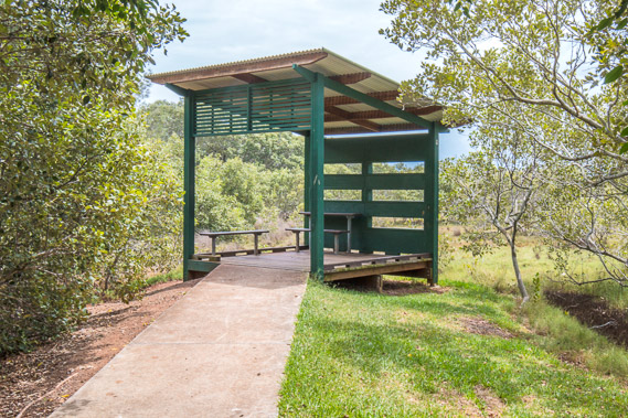 |
11:10 - Reaching the Geoff Skinner Reserve bird hide about half an hour after leaving Wellington Point. No sea views from here - just wetland forest and mangroves. |
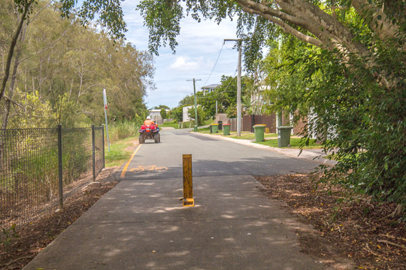 |
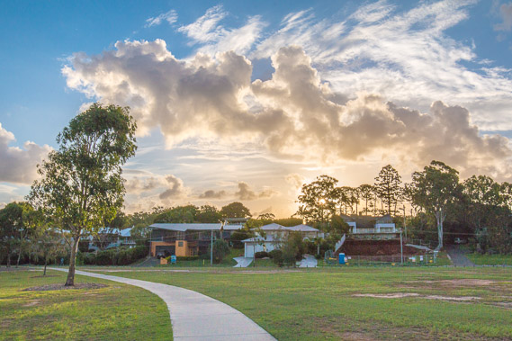
11:19 - Most of the views around here are of sealed walkways and residential streets. A quad bike has just left the track from a maintenance inspection from the rainfalls from last night and this morning. |
 |
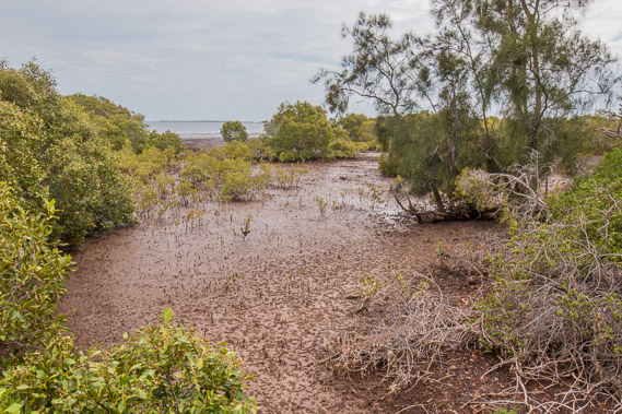
11:32 - Some distance passes before I get a view of the water again through the mangroves. Intermittent showers are now falling. |
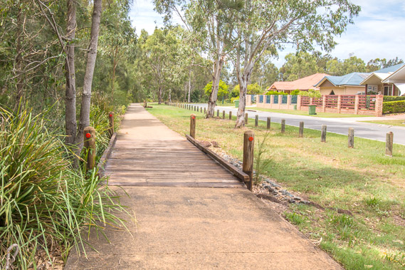 |
12:08 - Following a pathway with residential housing to the left and the Geoff Skinner reserve to the right. |
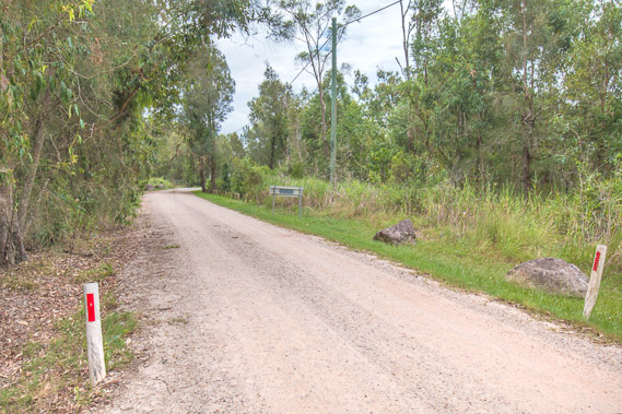 |
12:14 - A gravel road leads from the walkway out into the middle of the reserve. |
 |
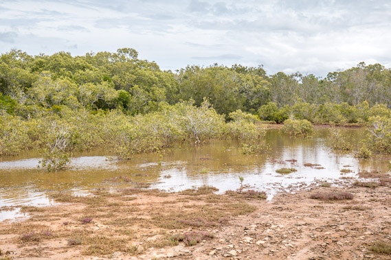
12:21 - The road abruptly ends at a creek flooded from the full tide. |
 |
12:26 - A very muddy track heads further out into the wetlands heading upstream |
 |
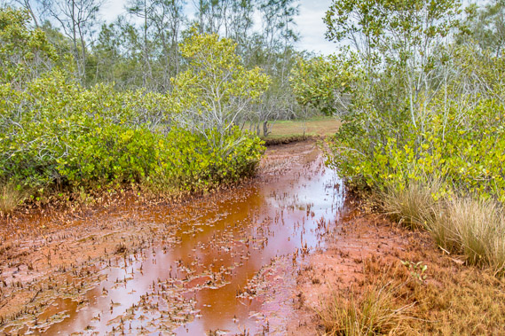
12:29 - Areas around the track are flooded from the tide. |
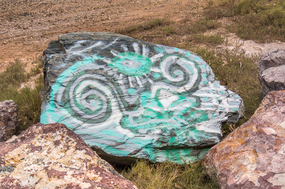 |
12:50 - A painted rock where the track returns to the gravel road. |
 |
13:08 - Back on the main walkway heading further around the edge of the reserve. |
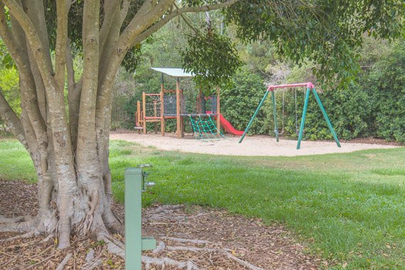 |
13:22 - A small playground near the end of the track. There are many of these playground parks and fortunately all of them supply fresh water. Although I carry water with me (it is still hot at this time of year), I have found I've seldom needed my water supply anywhere along the coast from Deception Bay, or most sections of the Brisbane River up and down to about Indooroopilly as the parks and drinking fountains have been very frequent. There are a few patches where water supplies are far between, so I've always carried water in my day pack. |
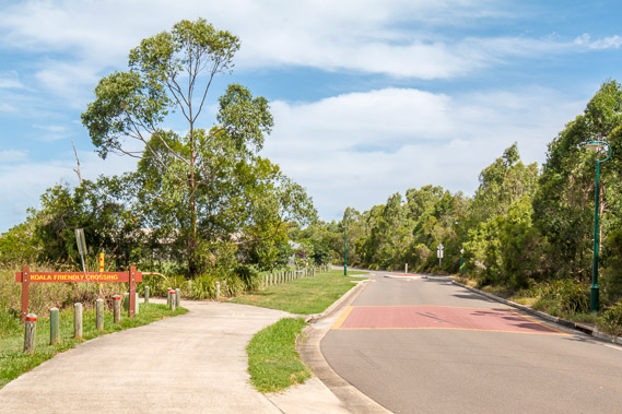 |
14:21 - After passing through a large residential area, the walking track continues and here it leaves the road at a koala crossing. There are koalas all through the city, but their numbers are quickly declining with the clearance of forest to make way for new residential areas. |
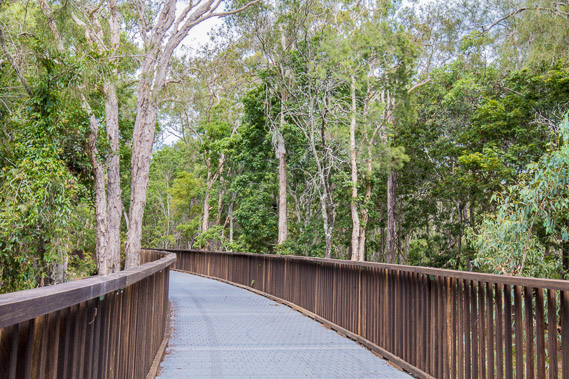 |
14:32 - Back in the wetland forest crossing a bridge above a gully. This is a very new track constructed only in the past year or so. |
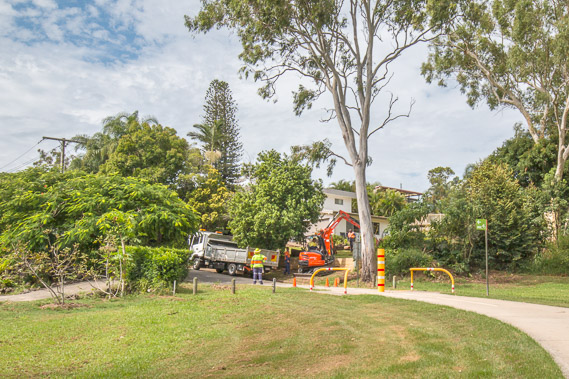 |
14:38 - The track ends at another residential area in Ormiston. Construction work is happening around here. |
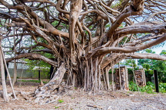 |
15:57 - After quite some time hiking through residential Ormiston, I reach this enormous but unhealthy fig tree. Apparently it will recover with care. The native fig trees around this area grow huge with their gnarled branches and support roots. |
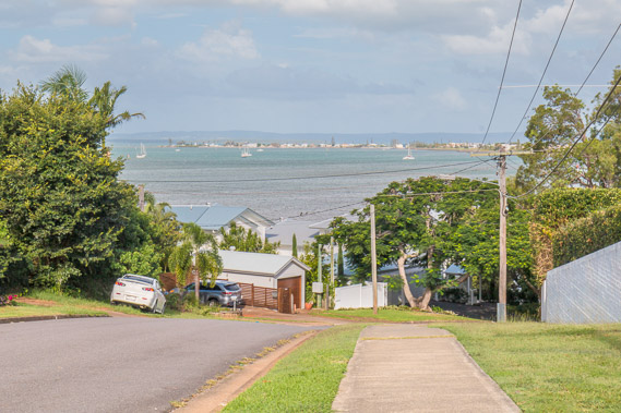 |
16:21 - Another half an hour through residential areas and I reach the start of a steep descent towards Raby Bay. |
 |
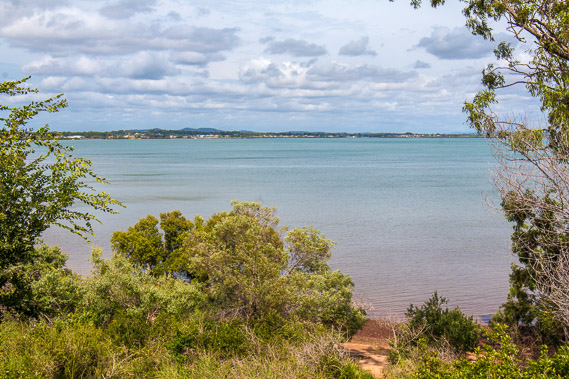
16:34 - Raby Bay viewed from a sealed walkway along the park. |
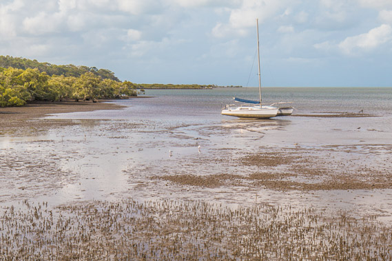 |
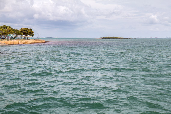
16:43 - A yacht sits on the mud flats. The tide is now well on its way out. Looking along the coast back across Geoff Skinner Conservation Area now hiding Wellington Point. |
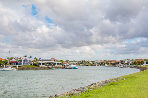 |
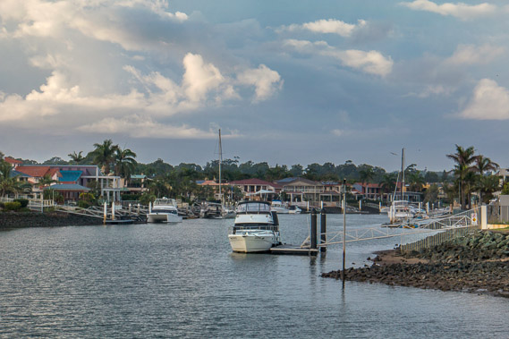
17:23 - Raby Bay canal with large waterfront homes. The canal goes into Cleveland. |
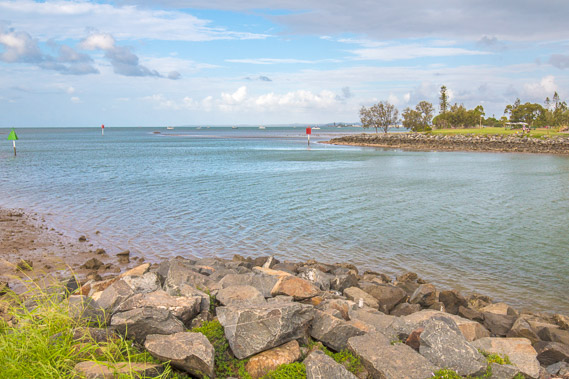 |
17:44 - Mouth of the canal heading towards Cleveland Point. |
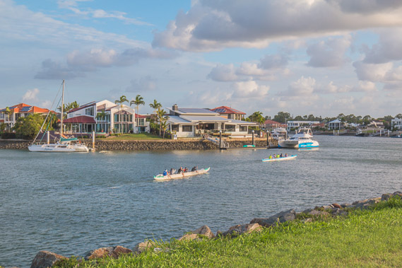 |
18:09 - Row boats head up the canal against the outgoing tide. |
 |
18:27 - The sun sinks low in the opposite direction as I begin to head towards Cleveland. |
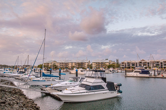 |
18:45 - Reaching the Cleveland Boat Harbour just as the sun sets behind me. |
 |
18:57 - Cleveland Harbour is quiet at the end of the day. |
 |
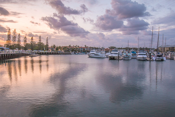
19:20 - Looking further along the marina passing a small waterfront shopping centre. |
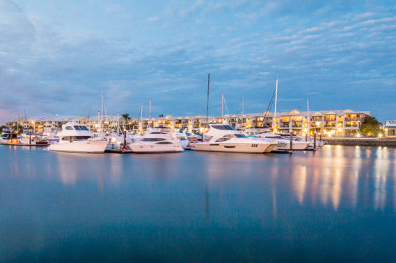 |
19:27 - The harbour at the last light of dusk. |
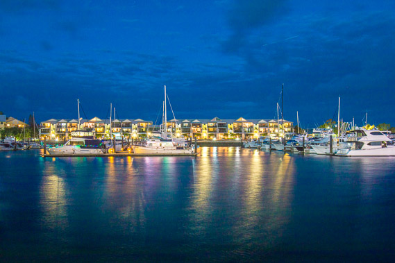 |
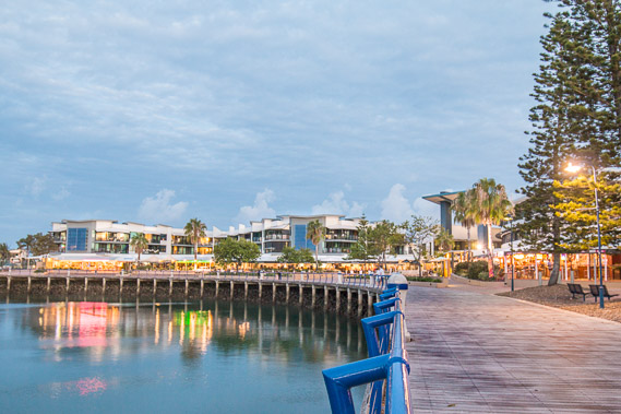
19:36 - Night sets in at Cleveland. |
|