This week in South East Queensland
28 January - 3 February
AT THIS time of year, school returns for the start of the academic year where students start embarking on their academic aspirations. This also marks the end of the peak holiday times and the lowering of inflated travel costs back to normal. Interestingly in the Australian culture, sports and the arts seem to have a higher social value than academic or business pursuits where the socialist "small poppy syndrome" deeply kicks in. Success is frowned upon here, but fortunately there are plenty of people who have broken this cultural mindset to have reached great levels of achievement in this land of opportunity.
Today's hike starts at Point Cleveland and follows the coast southward to Victoria Point, from where I catch a boat across to the nearby Coochiemudlo Island. I circumnavigate the island's circumference before watching the sunset and returning to Victoria Point to watch a total lunar eclipse.
Today's Journey
Distance hiked today: 33.9km
Total distance hiked to date: 640.8km
 |
03:53 - Crossing a small canal in Cleveland heading towards the point. It is about an hour before first light. Heavy rain has fallen for much of the night in a big ex cyclonic storm. Fortunately all the rain has gone. |
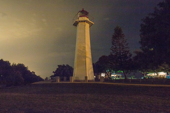 |
04:31 - Reaching the old Cleveland Point lighthouse. The settlement of Brisbane was at one stage going to be here, but the bay was too shallow and the mud flats too extensive to make this possible. A small port was set up here anyway and this lighthouse once guided the way. |
 |
04:33 - Looking back from the lighthouse towards Cleveland and Raby Bay. |
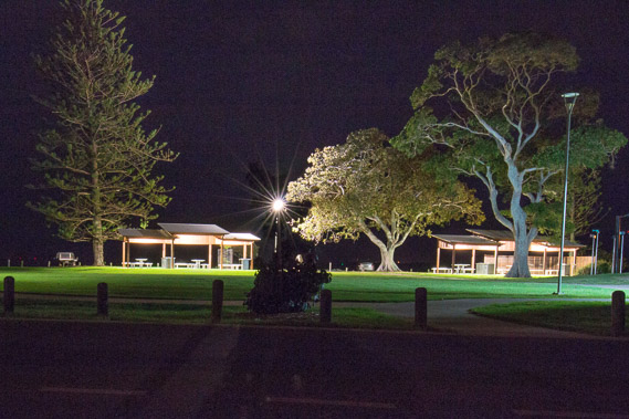 |
04:38 - The park at Cleveland Point, very quiet at the moment, but no doubt very popular in the middle of the day. |
 |
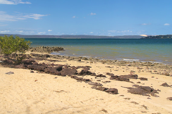
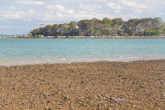
04:54 - I reach the other side of the point where the first light of the morning shines brilliantly over the extensive mud flats with the tide out. |
 |
05:01 - A bit further down the point looking towards where the sun is going to rise. North Stradbroke Island is clearly visible along the horizon, along with Peel Island in front of it. |
 |
05:16 - Passing a park bench as the sky lightens to the south, looking towards extensive mangroves and Coochiemudlo Island to the left. The sun rises hidden behind the clouds. |
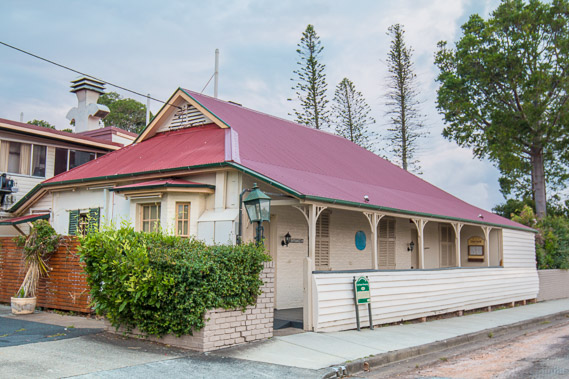 |
05:42 - The old Cleveland courthouse, a remnant from the old town once occupying this little peninsula. |
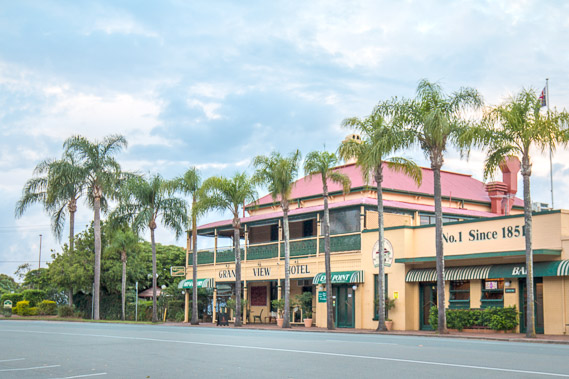 |
06:02 - The Grand View Hotel standing majestic here since 1851. |
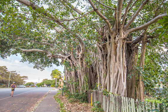 |
06:06 - The largest and oldest fig tree in Queensland. They grow exceptionally well here. |
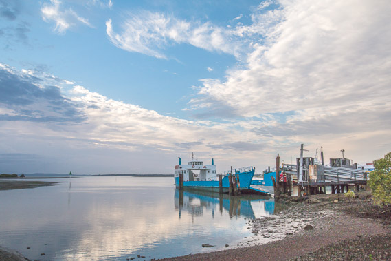 |
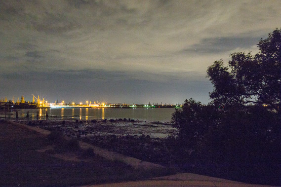
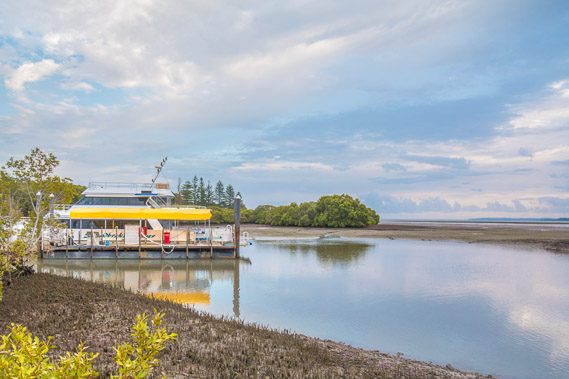
06:36 - Reaching Toondah Harbour, with one of the ferries to Stradbroke Island. The Toondah Reserve covers the mangroves to the left where I have passed along the main road. |
 |
07:07 - One of the water taxis across the bay to Dunwich. I could get there in half an hour, but the way I'm going around the back of the bay, It will be ten days before I reach Dunwich. |
 |
07:34 - From the harbour I follow a walkway through to Oyster Point Park looking over mud flats. The overnight rain and storm had deposited a lot of leaves over the track. |
 |
07:56 - Last view looking over the mudflats before the track heads into the mangroves. |
 |
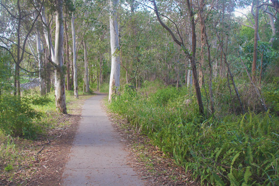
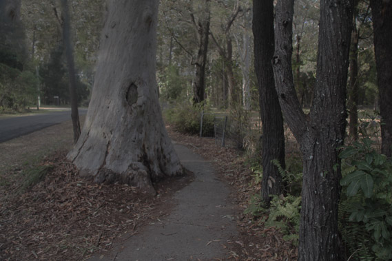
08:14 - The track heads through the swampy forest across Henry Ziegenfusz Park. Fortunately it was sealed as the ground on either side was very boggy from all the recent rain. |
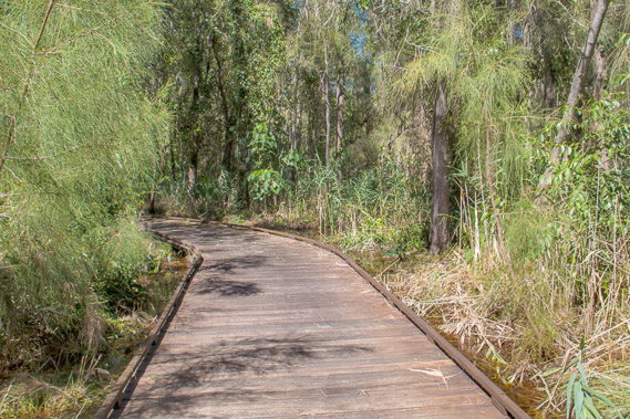 |
08:18 - A board walk hovers just above the water. |
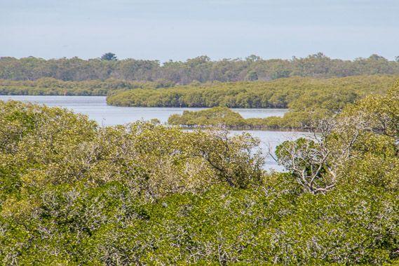 |
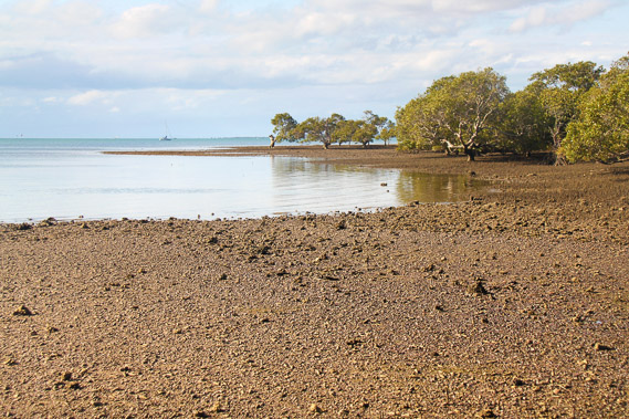
08:41 - View across the mangroves from the Goleby Esplanade Foreshore. Hard to tell what is land and what is sea. This will be increasingly the case from now on as I head further towards the back of the bay. |
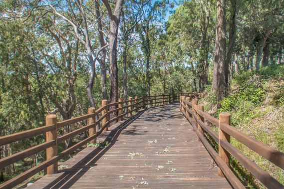 |
08:44 - A wide boardwalk sidles a hill above the mangroves and below a residential area. |
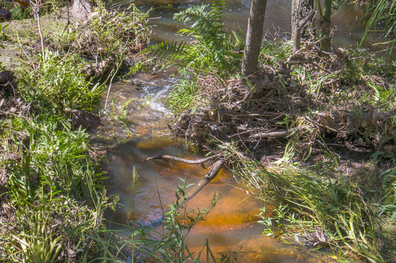 |
09:09 - The track climbs level with the residential area and turns inland for about a kilometre before crossing a pedestrian bridge over this normally dry stream. |
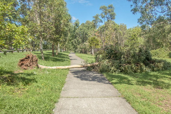 |
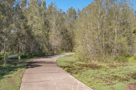
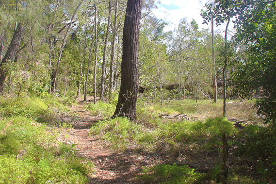
09:35 - Upon crossing the stream, the track follows through the Thornlands Road Nature Links heading further inland. The overnight storm has knocked a few trees down. |
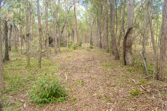 |
10:48 - The track follows a major road before I reach this unsealed diversion passing a new subdivision. I follow this track towards the bay at the Point Halloran Conservation Area. |
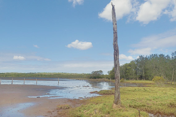 |
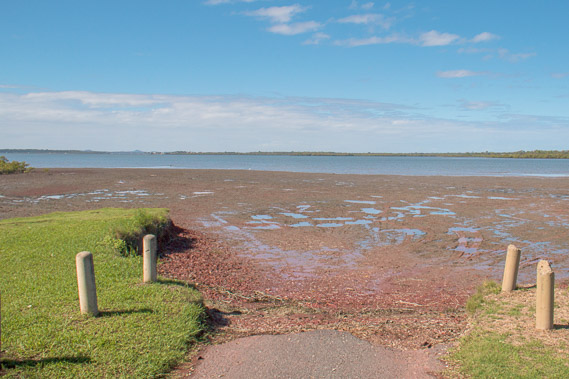
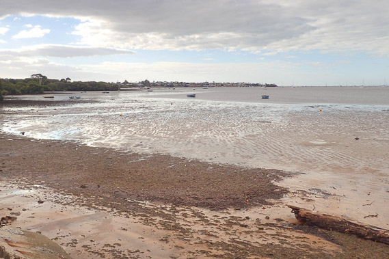
11:05 - I reach the bay, with very shallow water covering mud flats and a complete absence of tracks. Cloud quickly covers the sky. |
 |
11:23 - Eventually I find another track which heads inland for some distance before crossing Epapah Creek. |
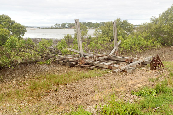 |
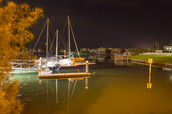
12:03 - The track reaches a residential area which I cross for a couple of kilometres descending to this small bay near Victoria Point. This was once another small port, with a boat support degrading amongst the mangroves. |
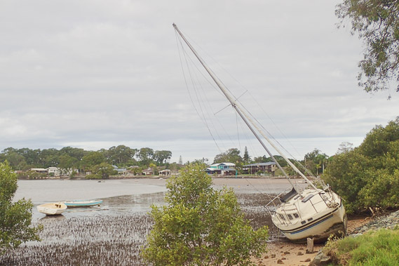 |
12:05 - A beached yacht at the back of the bay just before Victoria Point. |
 |
12:10 - Last view of the bay before heading onto Victoria Point, following a road with no views. |
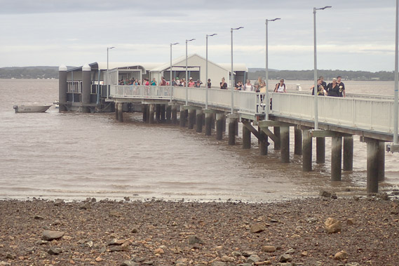 |
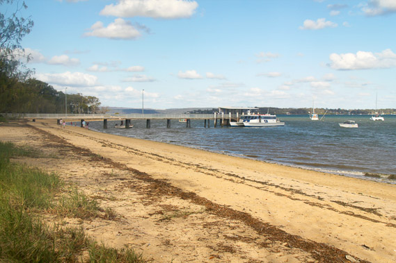
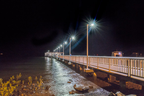
12:28 - Victoria Point Jetty. I take this quick shot as passengers leave the cat before I climb on board and head across to Coochiemudlo Island. |
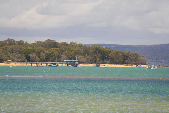 |
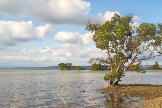
12:37 - Looking across to the golden sands of Coochiemudlo Island, with North Stradbroke Island in the background. |
 |
13:19 - Reaching the wharf above the beach at Coochiemudlo Island. |
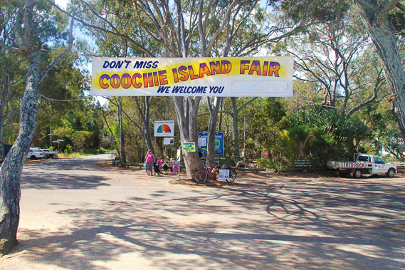 |
13:20 - A big welcome at this otherwise sleepy island at the end of the wharf. |
 |
13:21 - I turn right and follow the track around the island. |
 |
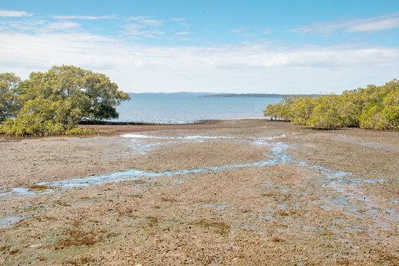
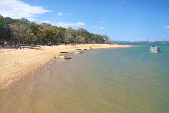
13:29 - The track ends, but I follow the beach hoping I can get around the island. Mackley Island is to the right and North Stradbroke Island is on the other side of the bay. |
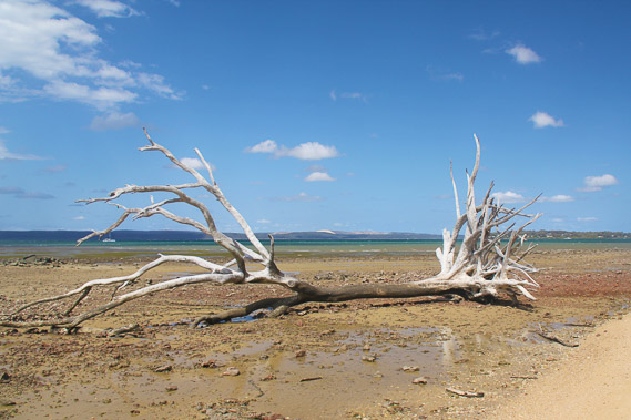 |
13:51 - A washed up tree on the rocky bank as the tide goes out. |
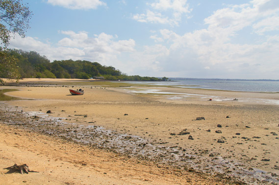 |
13:52 - Rounding the northern point where a dinghy sits in the middle of a wide bay. |
 |
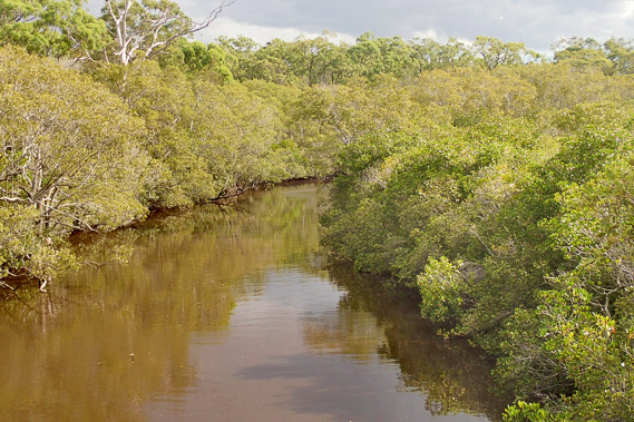
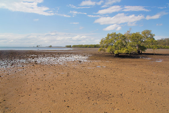
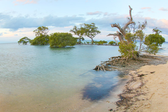
14:14 - The beach suddenly ends at an expansive mangrove forest, but a rough track continues its way around the island. I am over half way around now. |
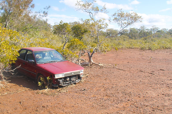 |
14:37 - A side track heads out into the mangroves to a mud flat. An abandoned car having seen better days sits out here. |
 |
14:39 - Fortunately the mud is solid mixed in with gravel, so I'm able to head to the end of the mangroves to see the tide is now coming in. |
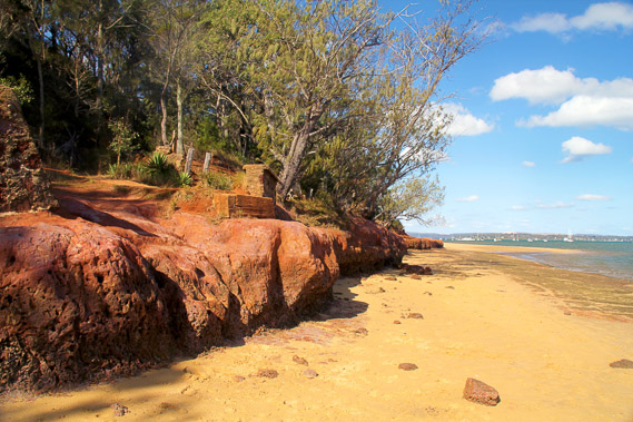 |
15:23 - After quite some more time following the rough track, I reach the beach a few hundred metres down from the wharf. Before heading to the wharf, I head down the other way along the beach. The rock suddenly becomes a volcanic ochre, giving the island its name. |
 |
15:30 - The rocks tower into a cliff, providing plenty of ochre for the Aboriginal people who once lived here plenty of red colour dye to work with. |
 |
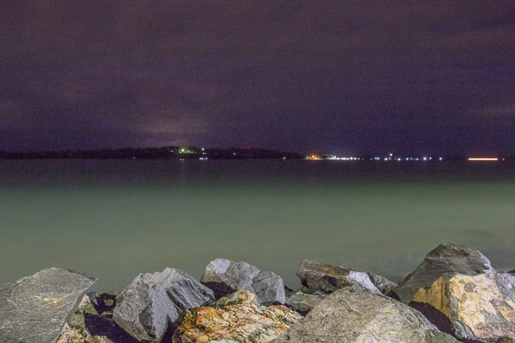
16:04 - Looking across the channel to Victoria Point. It is said the Aboriginal People could wade across this channel at low tide to collect the ochre. |
 |
16:12 - Reaching the end of the point where the tide is now coming in over the very coarse gravel towards the mangroves hiding the golf course. |
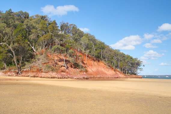 |
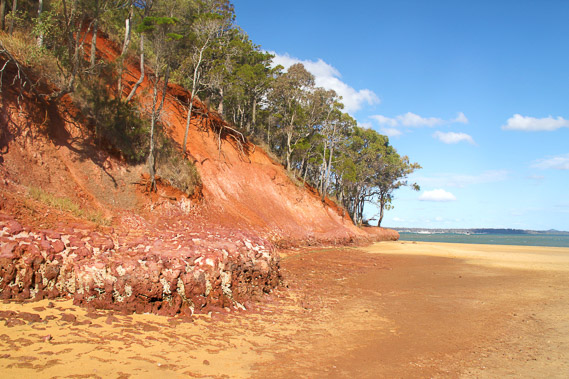
16:25 - Spectacular view of the cliff. Fortunately this rock is all protected. |
 |
16:48 - I reach the wharf with plenty of time before sunset. I decide the best place to see the sunset is on the other side of the island, and fortunately a road and track heads straight across. |
 |
17:01 - I follow the track back across the island. |
 |
17:12 - The tide has substantially come in whilst going around the island. I stay here to watch the tide come in. |
 |
18:30 - I reach the northern point and start taking long exposure shots around these very interesting mangroves exposed to the elements. |
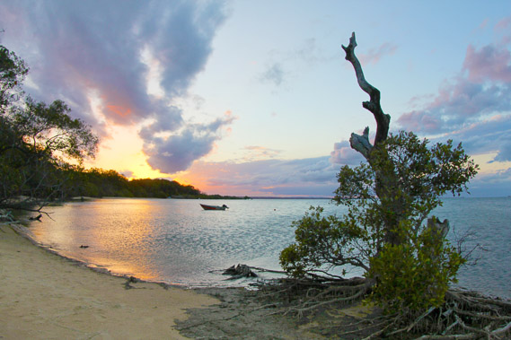 |
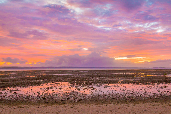
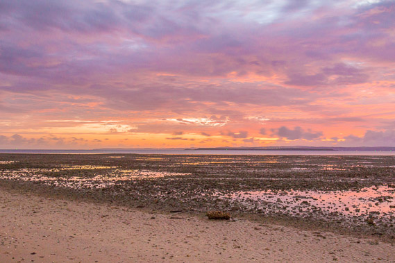
18:42 - The sun sets over the far end of the bay. |
 |
19:28 - The full moon quickly rises, so I head back along the track in the very dim light. |
 |
19:58 - On the wharf waiting for the boat looking back to Victoria Point. Cloud has almost entirely covered the sky now. |
 |
20:11 - Back at the Victoria Point wharf to look for a spot to view tonight's eclipse (if the cloud clears). |
 |
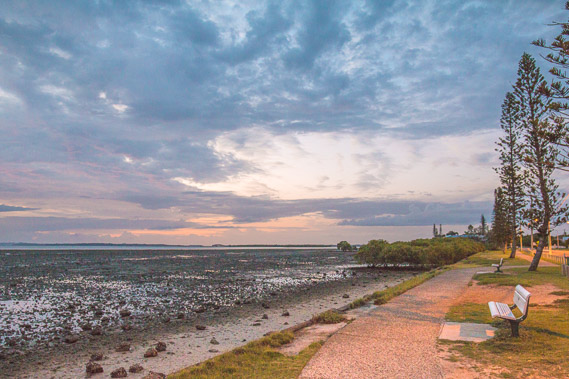
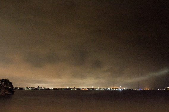
20:41 - Looking back to Coochiemudlo Island before the eclipse begins. There is still a lot of cloud around. |
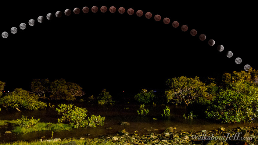
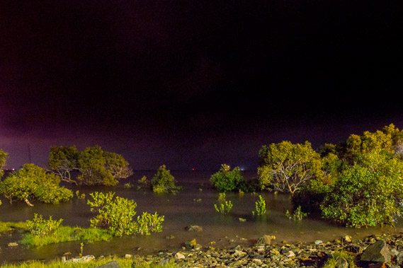 |
21:03 - I decide this interesting location with street lit mangroves at the northern end of Victoria Point would make a good backdrop for tonight's lunar eclipse. |
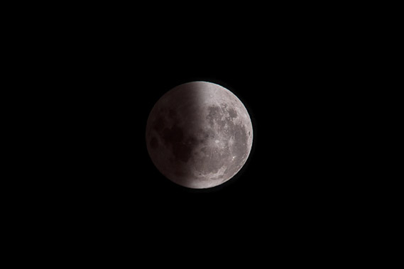 |
22:29 - The moon partially eclipsed entering Earth's shadow. The moonlight gradually fades away making this otherwise full moon night very dark. |
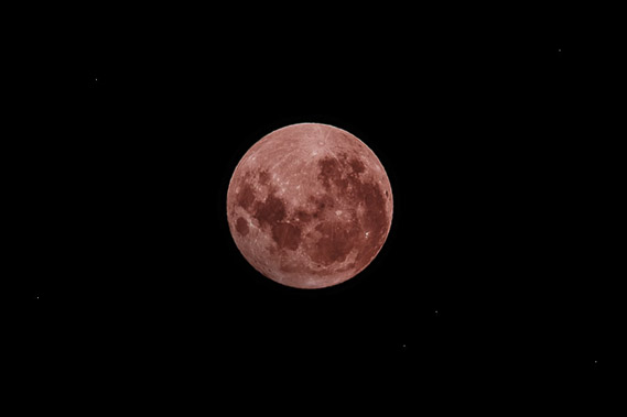 |
23:01 - The red moon in total eclipse. The redness is caused by the way the light bends around the atmosphere, with red light bending further reaching the moon and the higher frequencies missing it under the Earth's shadow. The moon is faint and eerie. |
|