This week in South East Queensland
4 - 10 February
WITH everything settling back into normality, the summer is still at its height with long hot days and muggy nights at their peak. This is still the middle of the rainy season. The massive thunderstorms of the early summer have been largely replaced with the occasional low pressure system from spent cyclones. Although they have lost a lot of their energy, they sometimes bringing hundreds of millimetres of rain in a single day. In between the rain spells there is plenty of sunshine. In the drier years, little rain falls even at this time of year.
Today's hike takes me from Victoria Point and follows the coast as far as the sealed track goes at Talburpin Point. From there I follow the long road into Logan, the rough end of town. I reach the Logan River and follow it upstream to Beenleigh.
Today's Journey
Distance hiked today: 39.9km
Total distance hiked to date: 680.7km
 |
04:05 - Back at the Victoria Point Jetty before first light after watching the eclipse for much of the night. |
 |
04:33 - First light appears on the horizon through the layers of cloud. Several other photographers have arrived and are setting up for what they believe will be a fantastic sunrise. |
 |
04:45 - The sky begins to lighten over the flats south of the point. |
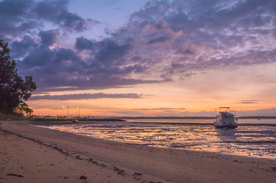 |
04:58 - Looking back to the jetty as spectacular colours fill the sky. |
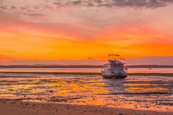 |
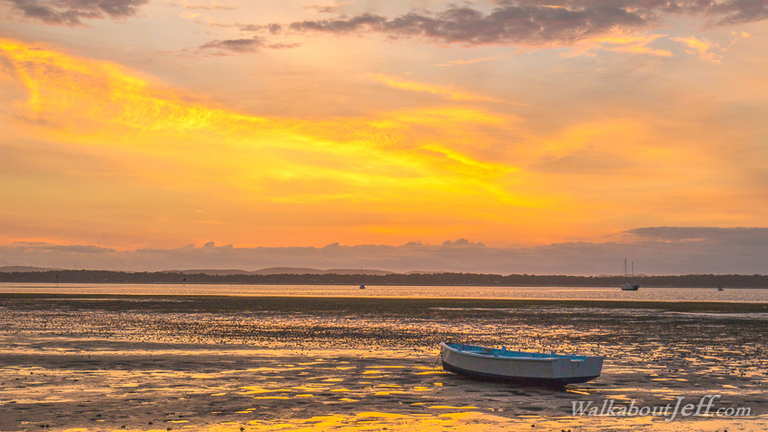
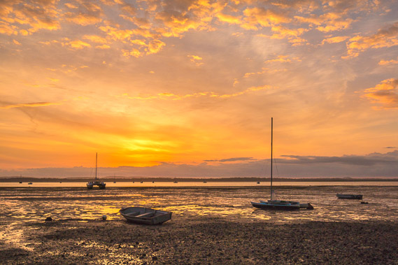
05:05 - The sky over Macleay Island and North Stradbroke Island glows fiery orange. |
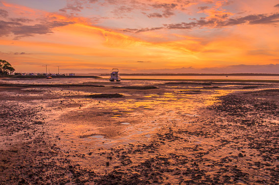 |
05:11 - The brilliant sky reflects on the exposed mud flats still wet from the overnight tide. |
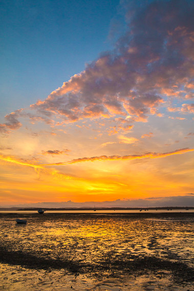 |
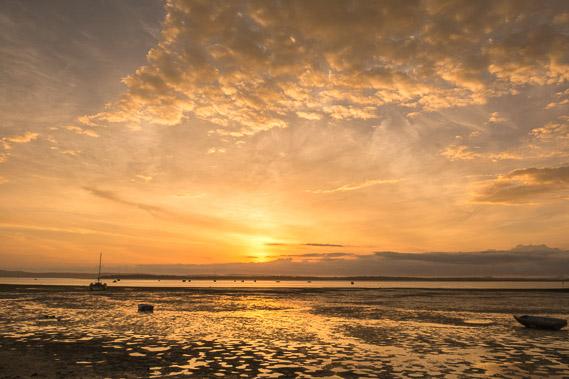
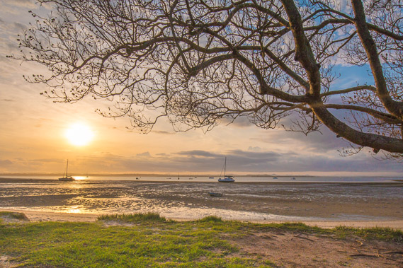
05:22 - Spectacular layers of mid level cloud capturing the sun now rising over the horizon on the other side of North Stradbroke Island. |
 |
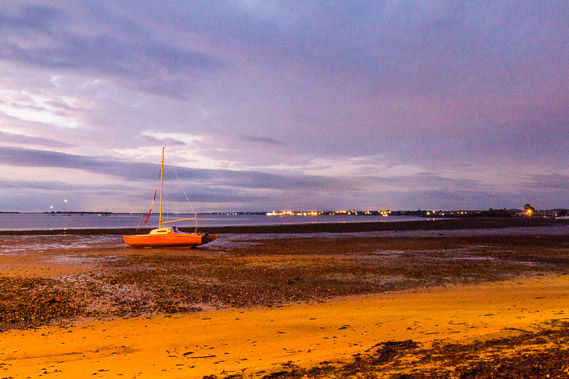
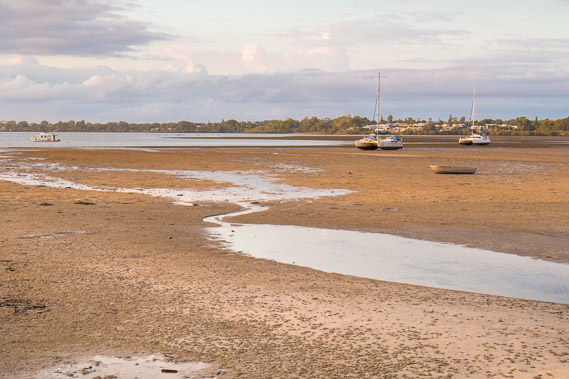
05:27 - Boats sitting out on the mud flats unable to be launched until the tide comes in. |
 |
05:30 - The beach suddenly ends here with a warning sign of soft mud indicating a stream or river comes out nearby. I've noticed the muddiest areas are near the mouths of rivers and creeks. |
 |
05:36 - The sun just about to break through the golden clouds. |
 |
05:50 - I follow a road for about half a kilometre before reaching a paved walkway back out on the beach. |
 |
05:56 - The sun filters through the haze over the clouds as the tide begins to rise. |
 |
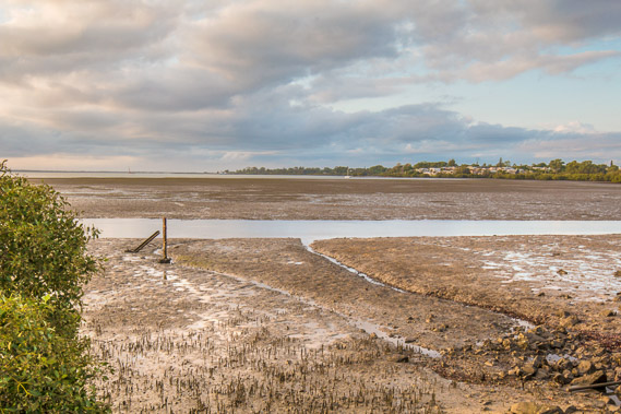
06:03 - The track turns to head up to the back of a bay with extensive sand flats stretching across it. This means there must be a large stream coming out nearby. |
 |
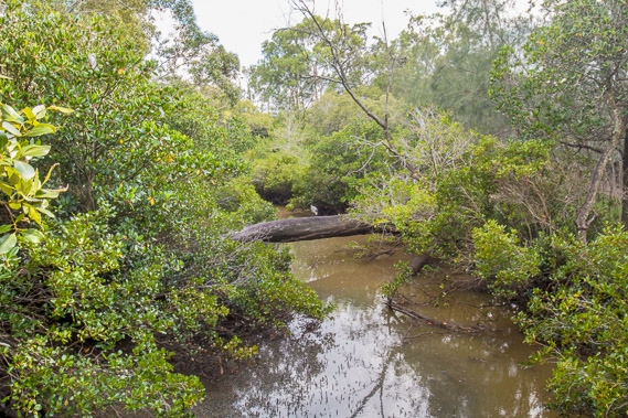
06:12 - I approach Moogurrupum Creek causing the track to divert away from the shore. |
 |
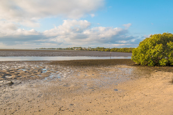
06:21 - The stream forming this bay. I will need to find a way around it. This is likely to be quite a long diversion on an already long day when I'm hoping to reach the Logan River. |
 |
06:26 - Reaching the end of the track at the end of a large townhouse complex. From here Moogurrapum Creek hides in the mangroves. |
 |
06:36 - From here a rough track follows through the mangroves roughly following the stream upstream. |
 |
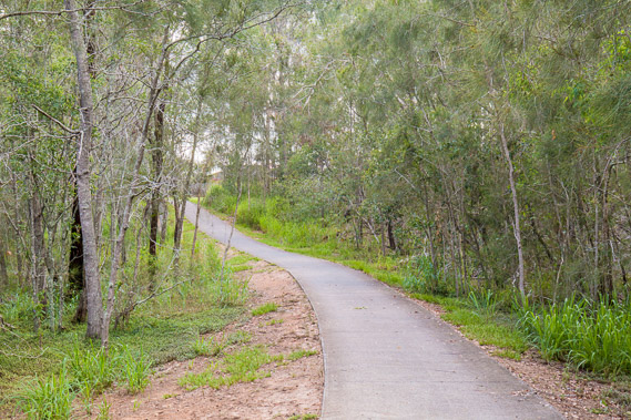
07:06 - The track reaches a road after nearly half an hour. The road follows Moogurrapum Creek upstream with the occasional spectacular view. The current is flowing quite fast upstream as the tide rises. |
 |
07:07 - Another view of the stream further upstream. |
 |
07:51 - The track continues following the stream until reaching a large road. |
 |
08:12 - A track leads off the road and crosses Moogurrapum Creek over a wooden bridge. |
 |
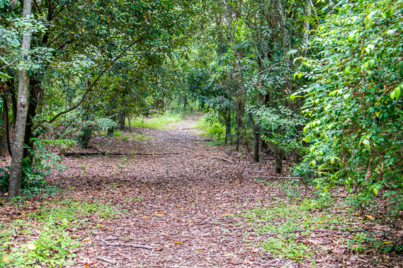
08:13 - From there the track continues through wetland forest soon to pass the Redland Bay Golf Course. |
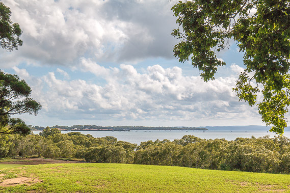 |
08:29 - Approaching the end of the golf course, I see the bay again, looking out to Victoria Point, Coochiemudlo Island, and North Stradbroke Island. |
 |
08:52 - The track follows above the bay. The tide is well in now soon to approach its peak. |
 |
09:02 - Small golden red beach under the track. |
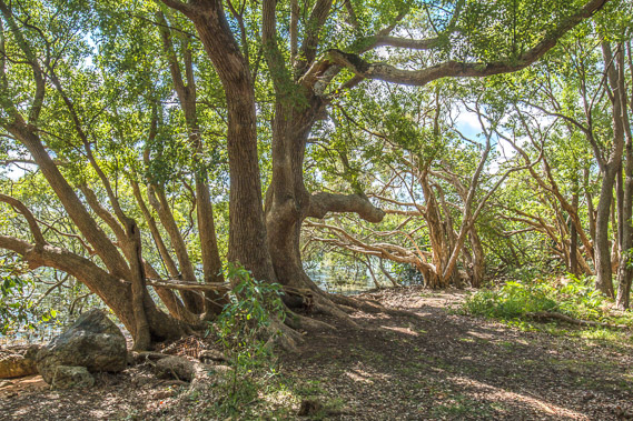 |
09:05 - Several large fig trees towering over the track provide shelter from the hot morning sun. |
 |
09:14 - Another small beach as I approach the Redland Bay Marina. |
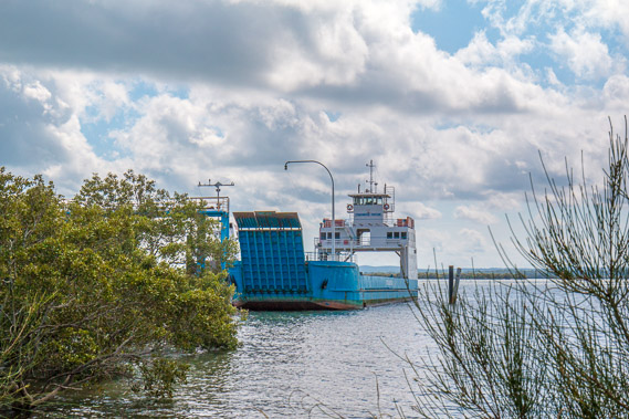 |
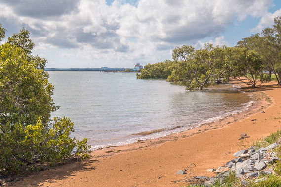
09:27 - A ferry going out to Russell, Karragarra, Macleay and Lamb Islands, all of which I will be exploring when I hike up the other side of the bay. |
 |
09:37 - At the Redland Bay Marina, from where a water taxi services the islands. |
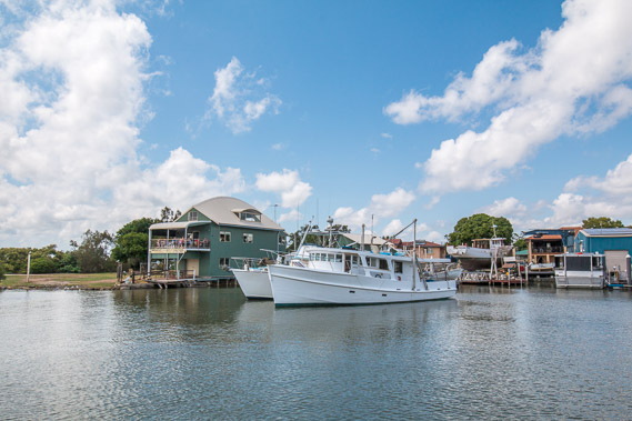 |
10:18 - Redland Bay Marina on the Weinam Creek. |
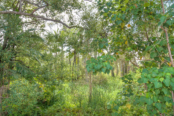 |
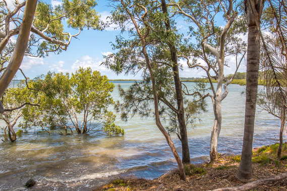
10:29 - The track diverts around the back of the marina, passing through spectacular wetland forest. |
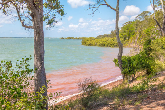 |
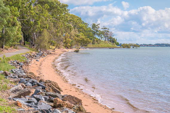
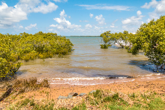
10:58 - On the other side of the marina the track returns to the beach. The tide is in now, and the water reacts with the ochre soil of the beach turning the foreshore water a red colour. |
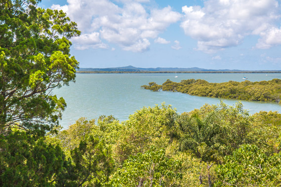 |
11:07 - I have good views out over the islands towards the towering peaks of North Stradbroke Island. Here the amount of land forming the islands becomes more than the submerged water under the bay. The expanses of water making up the bay now turn into wide channels between the islands, the broadest of which is this first channel. |
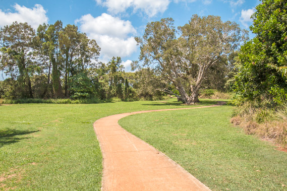 |
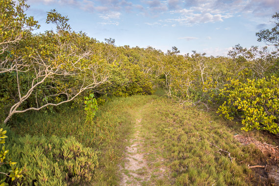
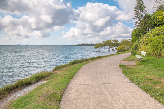
11:22 - The track continues through the foreshore parkland peacefully separated from both the sea and the nearby residential areas. |
 |
12:21 - Talburpin Point, at the southern end of the Redland Bay residential area and approaching the end of the track I have been following since Wynnum. |
 |
12:31 - Going around the point getting a glimpse of the wide stretching bay towards the mouth of the Logan River. |
 |
12:39 - The track shortly before it ends. From here going the other way, the track goes all the way back to the Brisbane River, across the Gateway Bridge and back up to Deception Bay over 150 kilometres away. |
 |
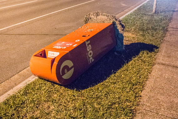
12:47 - From here, in the absence of any walking track, I need to follow the long road heading out of Redlands into Logan. |
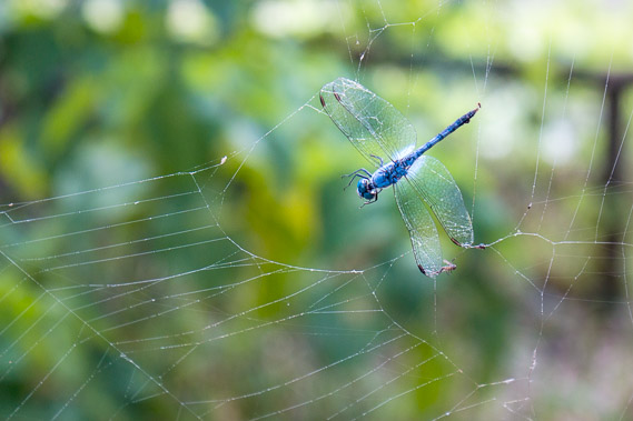 |
13:50 - A dragonfly caught in a spider web beside the road. |
 |
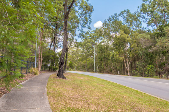
14:31 - The road continues through the occasional residential area in the hills with no views of the sea for a long time. |
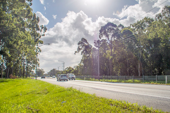 |
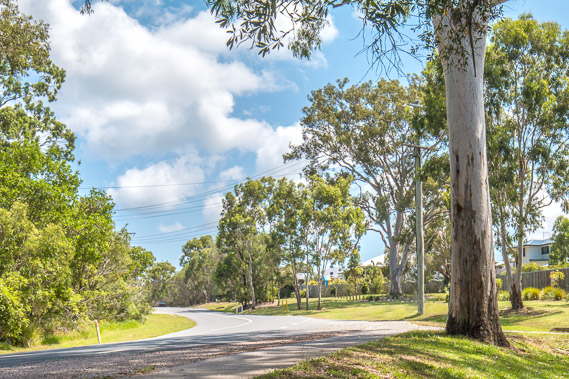
15:04 - The road coming into the first residential areas of Logan. |
 |
15:19 - Finally I reach a track just after the Riverlakes Shopping Centre heading towards the Logan River. |
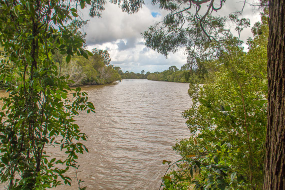 |
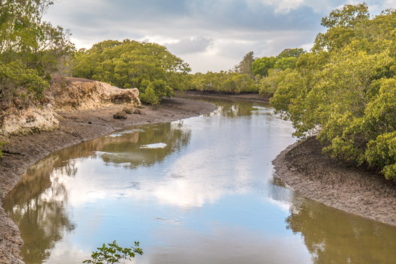
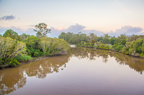
15:31 - Glimpse of the Logan River, very dirty from sediments from farmland from its source near Mount Barney. The headwaters of the river are crystal clear as they drain from the Mount Barney and Tweed volcanoes, but become very dirty. |
 |
15:36 - Following another track to a rough residential area in Loganholme which I pass through as quickly as possible. It's a rough neighbourhood and there are a lot of police around. |
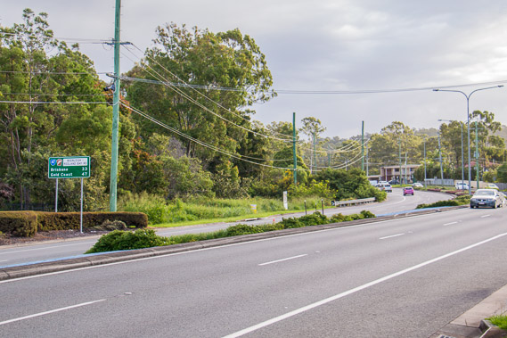 |
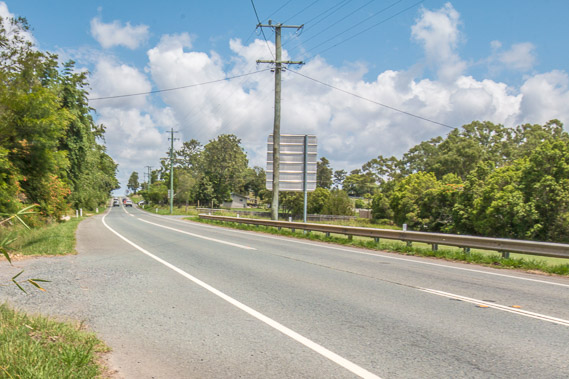
16:35 - Reaching the main road heading into Beenleigh. By road Brisbane is 33 kilometres away and the Gold Coast 47 kilometres away. |
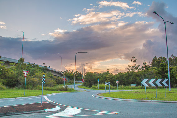 |
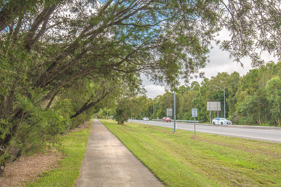
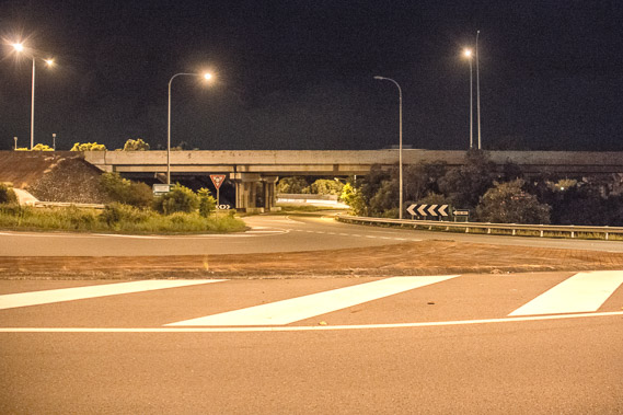
17:09 - Following tracks negotiating their way around the M1 Motorway. This was the motorway that started at the Captain Cook Bridge coming out of the city, and heads down towards the Gold Coast. Best thing about this motorway is you can go straight through Logan without having to stop. |
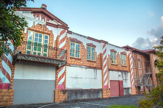 |
17:20 - An old abandoned warehouse nicely painted up. |
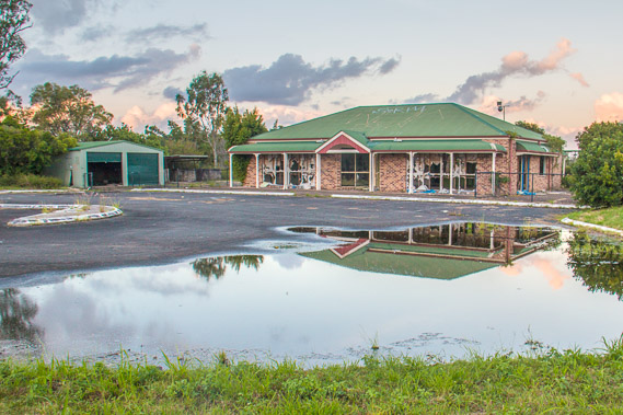 |
17:25 - An old house near the Logan River severely damaged by floods a couple of years ago, and abandoned. The sun sets behind me. |
 |
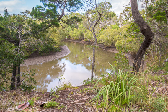
17:41 - The Logan River, having crossed at the first bridge about 15 kilometres upstream from its mouth. I arrive here shortly after sunset. |
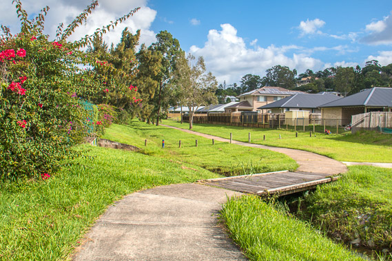
 |
17:59 - Following parkland upstream beside the river as the sky quickly darkens. |
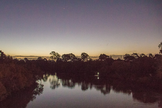 |
18:29 - View of the Logan River at last light from another footbridge on the other side of the motorway. |
 |
18:57 - Following the trail beside the motorway towards Beenleigh. |
 |
19:05 - OK this is a rough neighbourhood. I won't stay out here any longer than I need to. |
 |
19:11 - The middle of Beenleigh, quite a long way inland, but forming part of the most coastal route in the absence of any coastal or connected river tracks in this area. |
|