This week in South East Queensland
11 - 17 February
THE REGION was for a very long time covered in forest within which the local Aboriginal people lived comfortably for around 18,000 years. When European settlers initially developed the colony of Queensland independent of New South Wales, much of the land was cleared into farmland with small towns popping up in the strategic port locations. Over the decades, a steady stream of migrants have contributed to expanding the small towns into larger towns and cities gobbling up the farmland. As these towns and cities have expanded, they have merged into each other, creating a metropolis stretching form the top of the Sunshine Coast to beyond the end of the Gold Coast. Only a few small pockets of farmland exist now, and these are quickly closing down and becoming absorbed by the encroaching cities, soon to be taken over by the expanding metropolis.
Today's hike takes me from Beenleigh past Mount Stapylton through extensive farmland to eventually reach the coast at Jacob's Well, before returning inland a little way to Pimpama River, which I follow downstream towards its mouth.
Today's Journey
Distance hiked today: 37.5km
Total distance hiked to date: 718.2km
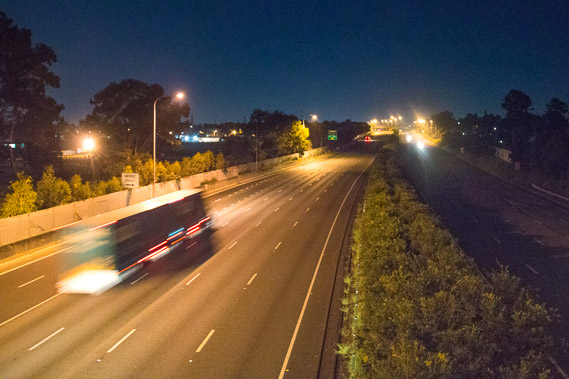 |
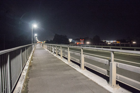
03:36 - M1 motorway from a bridge coming out of Beeleigh. Although this is the small hours of the morning, the motorway is busy with traffic travelling between Brisbane and the Gold Coast. |
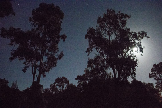 |
03:58 - The moon is still up as I walk through the dark forest in Albert River Park at Eagleby. |
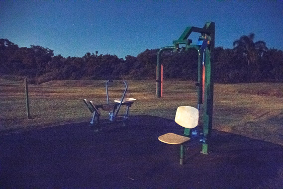 |
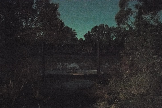
04:27 - An exercise area above the Albert River hidden in the trees in the background. |
 |
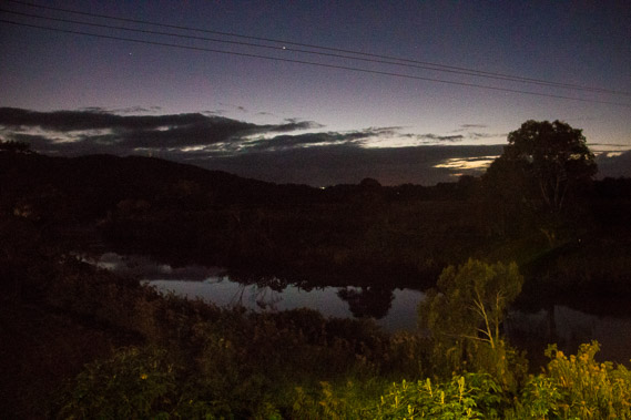
04:31 - First view of Albert River. The moon is now very low behind me so the view is very dim. First light is due in about fifteen minutes, but decide to watch the sunrise from the bridge as today is very long. |
 |
04:43 - The track continues through Albert River Park following the Albert River upstream until I reach the start of the bridge following a side road with the motorway crossing a short distance upstream to the right. |
 |
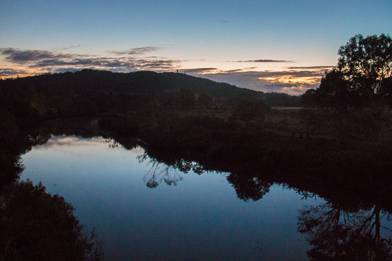
05:06 - First light over the Albert River. |
 |
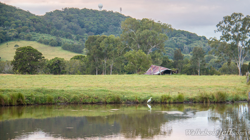
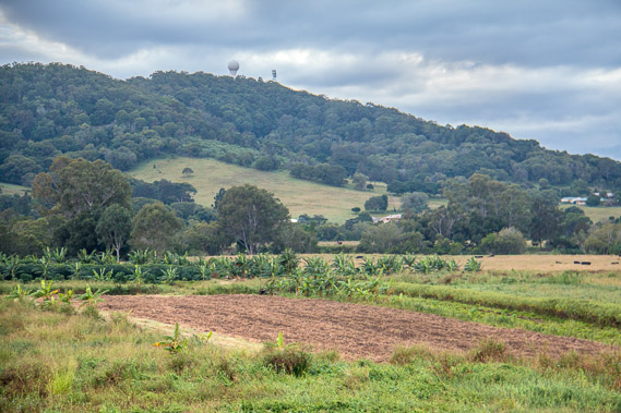
05:13 - Light is increasing as I look down the river with Mount Stapylton in the background. |
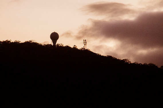 |
05:17 - The weather radar on top of Mount Stapyleton. Its 250 kilometre range has been very good in showing coming rain throughout my journey. |
 |
05:27 - View of the river just as the sun rises. The water is starting to drift upstream with an incoming tide. The dirty water carries debris upstream. |
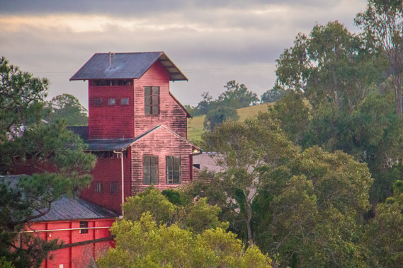 |
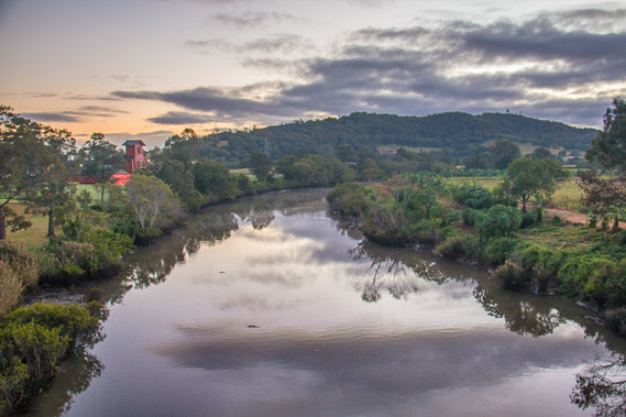
05:40 - The Beenleigh run distillery beside the river. |
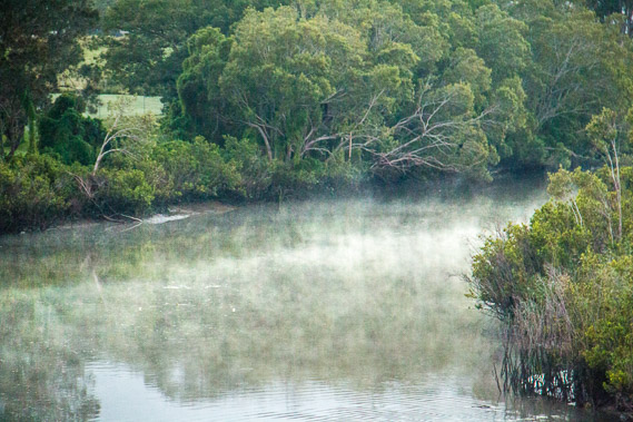 |
06:01 - Mist hovers on the water. The river flows from the northern slopes of the Tweed Volcano and drains into the Logan River a little upstream from where I first saw it yesterday. |
 |
06:22 - I complete crossing the river and follow farmland around the mountain before reaching the Jocob's Well Road. |
 |
06:53 - I start following the Jacob's Well Road, passing farmland with a very long distance with no views of the rivers or of the sea. |
 |
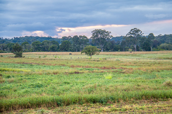
07:29 - The road passes peaceful farmland. The Logan River is somewhere in the distance, with most access blocked off by private prawn farms. White spot disease has been badly affecting these farms, and they will all be shutting down soon. |
 |
08:39 - The farmland continues for a long time, with few signs of civilisation. In decades to come though, the urban sprawl from Brisbane and from the Gold Coast will culminate in this area. |
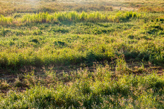 |
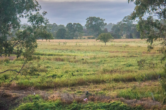
09:54 - The sun finally comes out with still a long way to go through grassy fields along the busy road. |
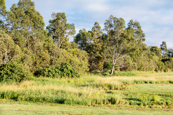 |
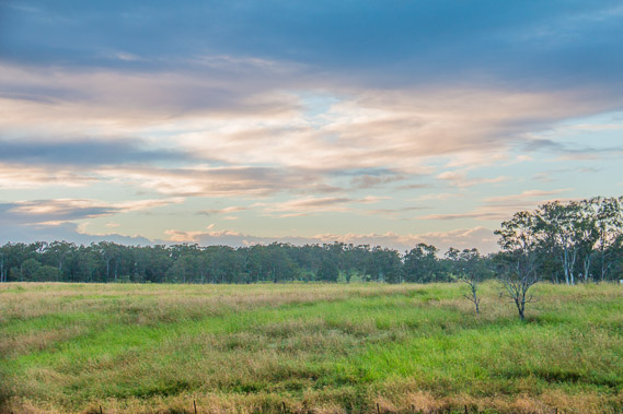
10:13 - Passing some trees as the cloud quickly clears. |
 |
10:58 - Finally a glimpse of the bay at Jacob's Well around 22 kilometres from the Albert River. |
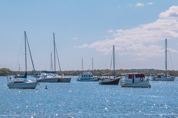 |
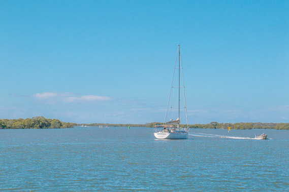
11:11 - Boats moored out on the channel off Jacob's Well. |
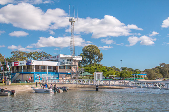 |
11:14 - Jacob's Well Marine Rescue base viewed from one of the jetties. |
 |
11:15 - Looking along the channel near Jacob's Well through the mangrove islands towards South Stradbroke Island. |
 |
11:18 - Channel near Calyspo Bay, where I stop for a well deserved lunch. |
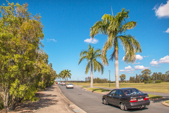 |
11:58 - Road heading into the new Calypso Bay subdivision and the golf course. |
 |
12:09 - Main channel viewed from Calypso Bay. |
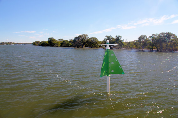 |
12:13 - A nagivation pole at the end of Calypso Bay. |
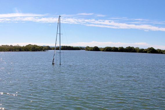 |
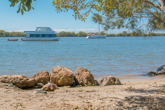
12:15 - A sunken yacht sitting in the channel off Calypso Bay. It has been there for some time awaiting salvage. |
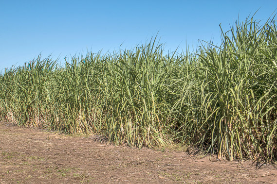 |
13:47 - From Calypso Bay I follow the road inland towards Pimpama River. Again there are no walking tracks so I need to follow the road. The road passes sugar cane fields on their last legs as this area is not very productive and the local sugar processing plant has now closed. |
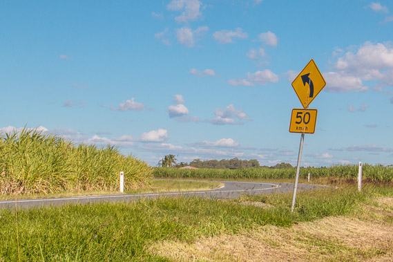 |
14:00 - Continuing to follow the road. There are proposals a new city be built on this farmland - the missing link between Brisbane and the Gold Coast. I'm not sure about this particular proposal, but given the sugar cane and prawn farming industries have been failing here for a long time, the urbanisation of this area is only inevitable. |
 |
14:31 - It takes two hours hiking beside the road from Calypso Bay before I reach the Pimpama River. Here I'm looking upstream from the bridge and will be following it downstream for the rest of today. |
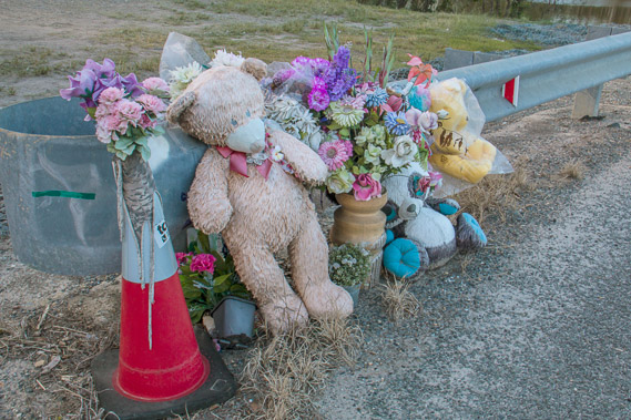 |
14:32 - Memorial of someone who was killed here at the bridge. |
 |
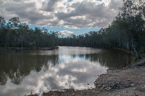
14:57 - Following the Pimpama River downsteam through the Pimpama River Conservation Park. |
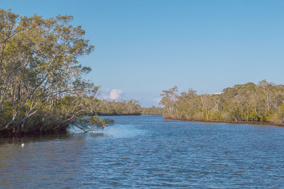 |
15:04 - Pimpama River as I follow it downstream through the conservation park. |
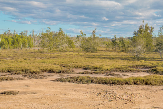 |
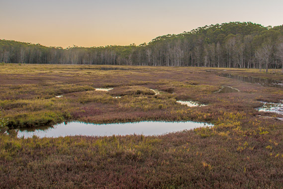
15:33 - Wetlands beside the river. |
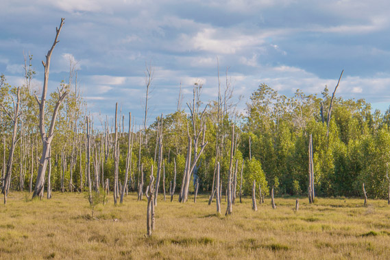 |
15:37 - Wetland forest of the conservation park. |
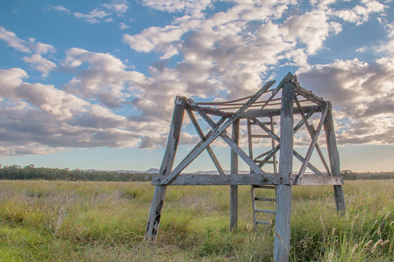 |
16:25 - A tower near a small airfield the conservation park passes. |
 |
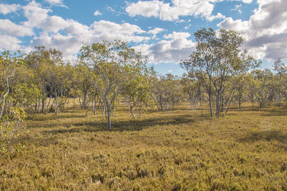
17:01 - Going into forest and hills as I continue downstream. |
 |
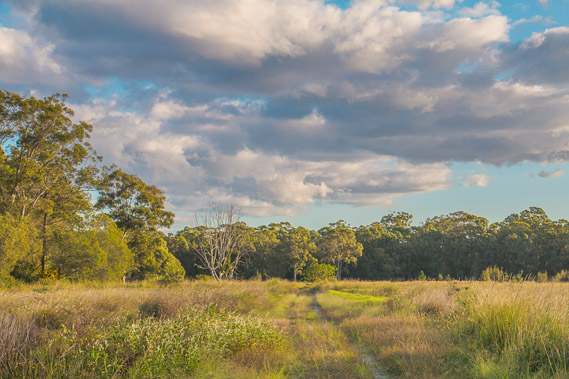
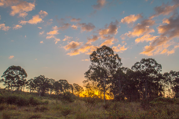
17:34 - Golden hour in its glory as I head across the top of a low hill. |
 |
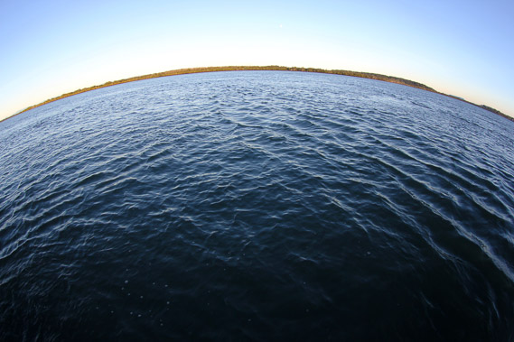
18:03 - I return to the Pimpama River somewhere near its mouth. |
 |
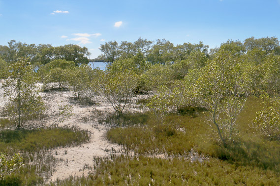
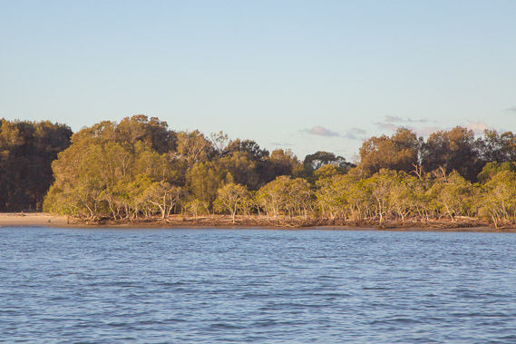
18:14 - Mud flats and mangroves near the mouth of the Pimpama River. |
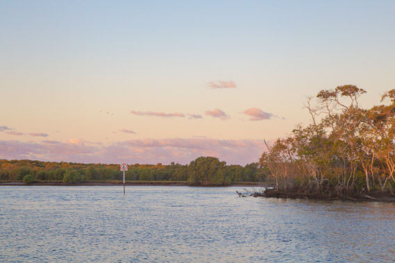 |
18:26 - The sun about to set near the mouth of the river. |
 |
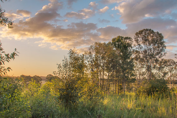
18:32 - I follow a trail over another low hill as the sun sets behind it. |
 |
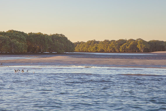
18:51 - Reaching some water pools near the mouth of McCoys Creek. |
|