This week in South East Queensland
18 - 24 February
URBAN sprawl is a symptom of Earth's exponentially exploding population already over sustainable levels. Although Australia is one of the least densely populated countries on the planet, a very high proportion of people live in the cities, and these cities are quickly expanding, gobbling up the farmland with huge areas of new suburbia.
Today's hike takes me from the remote mouth of McCoy's Creek into the northern suburbs of the Gold Coast. I need to take a very long diversion inland to cross the Coomera River, before returning to what is now the southernmost part of Moreton Bay around some of Australia's most exclusive residential area. From there I head south to reach the southernmost point of the bay at the Mouth of the Nerang River, just a couple of kilometres from Surfer's Paradise.
Today's Journey
Distance hiked today: 42.4km
Total distance hiked to date: 760.4km
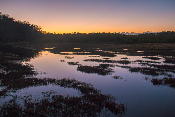 |
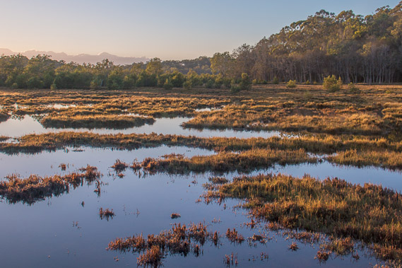
04:49 - First light near the mouth of McCoy's Creek. The overnight high tide flooded the flats leaving large mirror flat pools. |
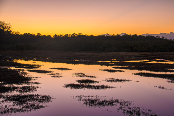 |
05:07 - The sky fills with colour as I head towards the Coomera River. |
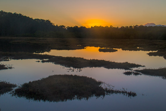 |
05:32 - The sun rises through a thin haze. |
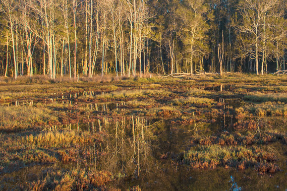 |
05:43 - The forest reflects perfectly in the water. |
 |
06:10 - Still crossing pools as I continue downstream towards the Coomera River. |
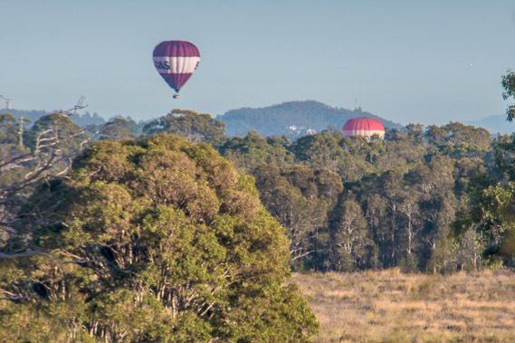 |
07:04 - Following a track up the hill above the flats, I see back in the distance two balloons rising on this calm morning. |
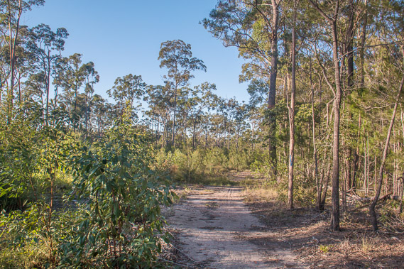 |
07:14 - Following a track over the forested headland towards a residential area near the mouth of the Coomera River. |
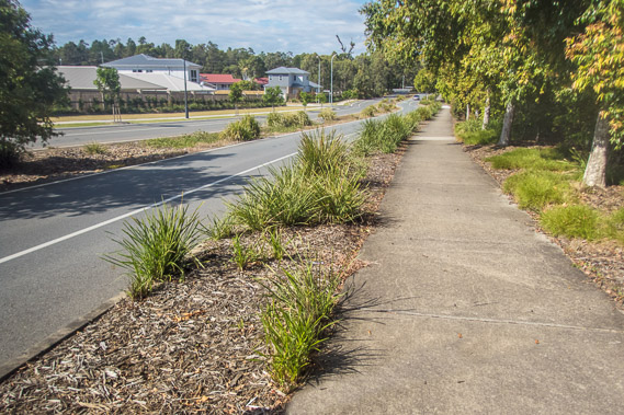 |
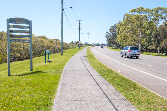
08:22 - A path follows recently established residential areas with large new subdivisions being built encroaching on the surrounding farmland and eucalpyt forest, to eventually join with the southward expanding residential areas of Logan. The road follows the river upstream, but there are no views of the river itself. |
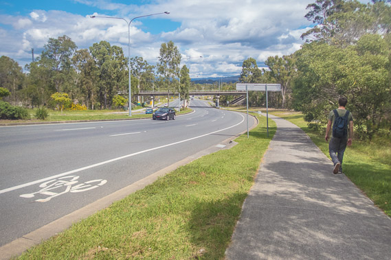 |
09:18 - The track continues for quite a few kilometres following the road towards the M1 motorway (the main road between Brisbane and Gold Coast cities. Eventually the residential area ends as I pass through eucalyptus forest. This won't be forest for long as a large shopping centre is under contruction in the middle of it. |
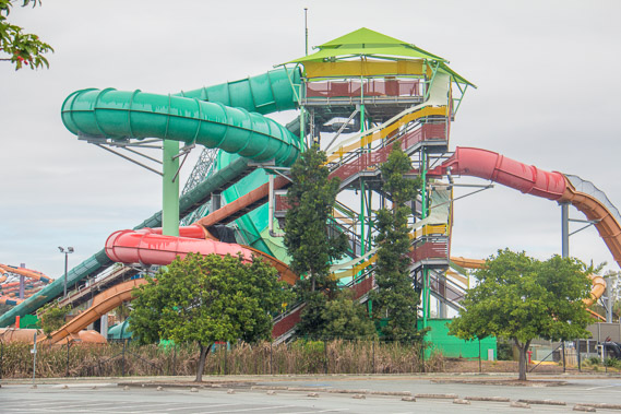 |
09:36 - Passing Dreamworld, one of several large theme parks here on the northern Gold Coast. |
 |
10:04 - The track follows the road next to the motorway and eventually I get my first glimpse of the Coomera River. |
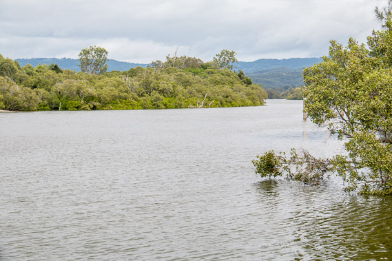 |
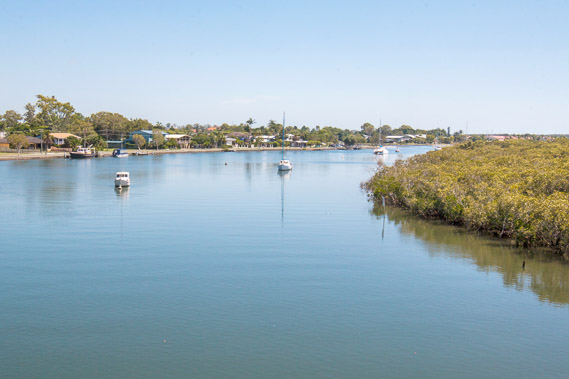
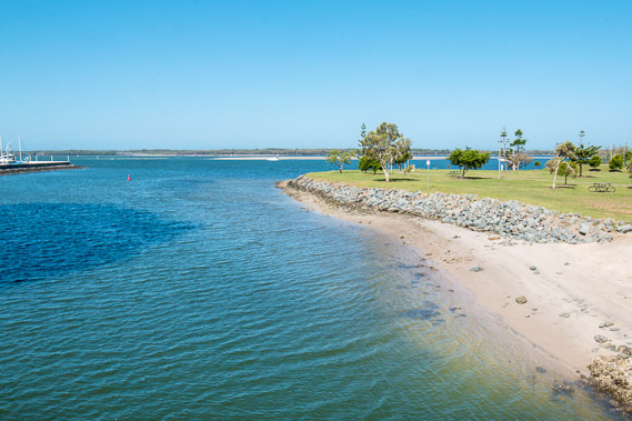
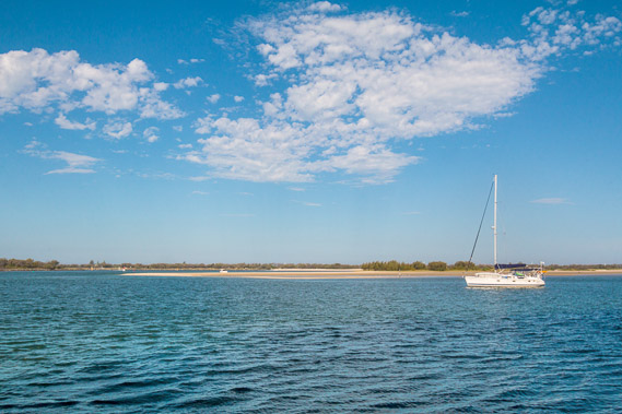
10:08 - Coomera River from a lookout just above the bridges. The river quietly drains from the coastal side of the Tweed Volcano. |
 |
10:17 - On the other side of the Coomera River. Having hiked several kilometres upstream, I now need to head downstream along this side of the river back into Moreton Bay. This has been quite a substantial detour. |
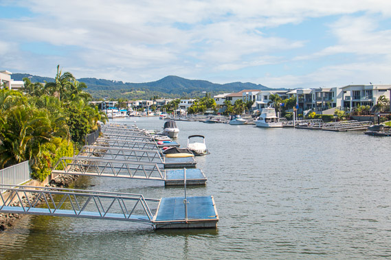 |
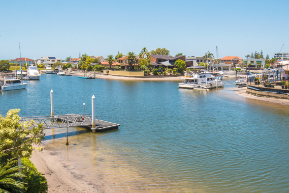
11:01 - View of one of the many canal estates about three kilometres downstream from where I crossed the Coomera River. The Tamborine Mountain plateau rises in the distance. |
 |
12:02 - After a long walk down a road passing resort residential areas, I I turn off the main road and head towards Sanctuary Cove passing another new canal estate. The clouds are now quickly clearing. |
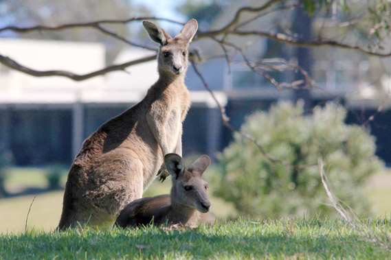 |
12:33 - Kangaroos in the park near Sanctuary Cove. |
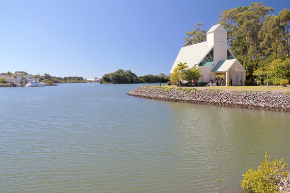 |
12:35 - Chapel and canal at Sanctuary Cove. |
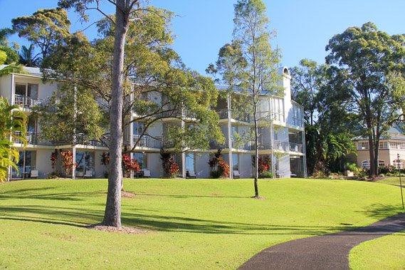 |
12:39 - Sanctuary Cove Resort with its numerous caged condos hidden away. Looks very elegant, but not for this free range traveller. |
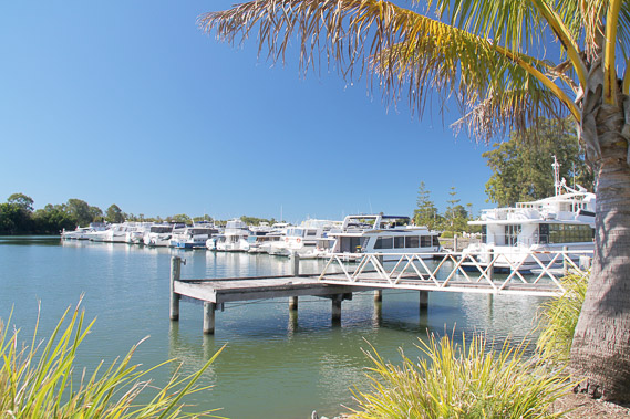 |
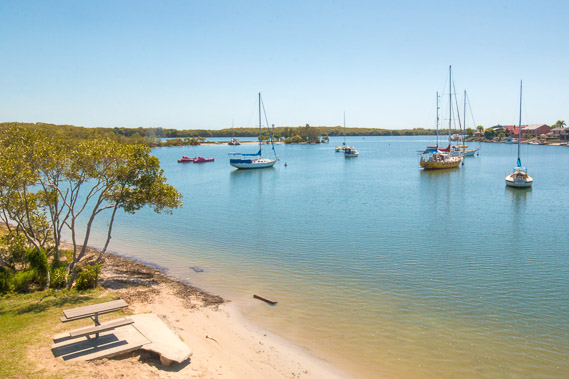
12:46 - Sanctuary Cove marina from where the channels meander around the islands out to Moreton Bay a short distance away. From here I need to divert back some distance to get back onto the main road heading down to the Gold Coast. |
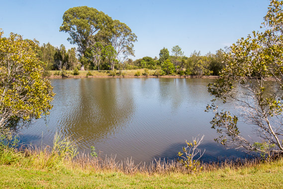 |
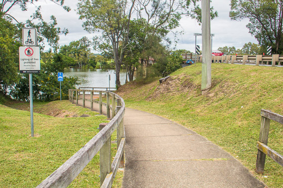
13:05 - Small lake in a reserve beside the road. |
 |
13:14 - Crossing Coombabah Creek over a bridge. Houses on one side and a mangrove covered island on the other. |
 |
13:19 - It is a long trek to the coast. Fortunately there has been sealed track for most of the way since reaching the road on the other side of the Coomera River this morning. |
 |
13:22 - Crossing the other channel of the Coombabah Creek heading into the Gold Coast's most exclusive areas. |
 |
14:04 - Looking up the Coomera River. Mangroves grow on the other side on the uninhabited Coomera Island. This side of the river is lined with mansions, but most our out of view and inaccessible. |
 |
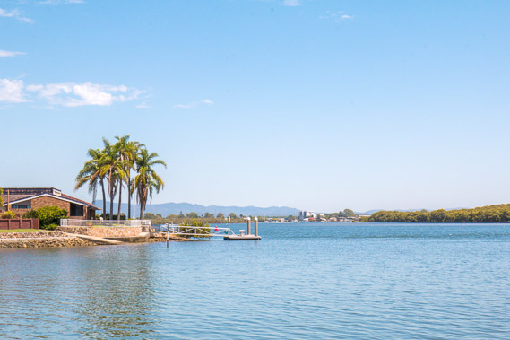
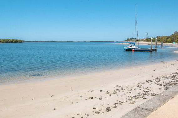
14:10 - Small beach on the pristine Coomera River at its mouth. |
 |
14:19 - Around the point back on the shores of Moreton Bay. The bridge crosses to the Gold Coast's most exclusive island estate, The Sovereign Mile. The bridge is gated at this end. |
 |
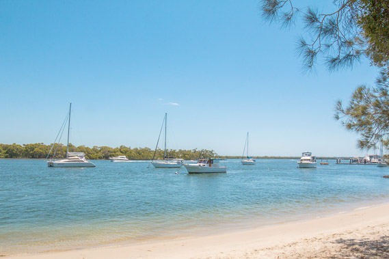
14:40 - First view of South Stradbroke Island past the smaller islands. The island is very narrow and I can hear the roar of the breaking waves of the open ocean on the other side. |
 |
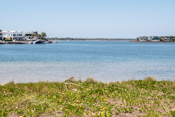
14:45 - Exclusive island apartments on Ephraim Island in the crystal clear water. |
 |
14:53 - Looking downstream along the bay to the southern end of South Stradbroke Island. The bay has become very narrow. |
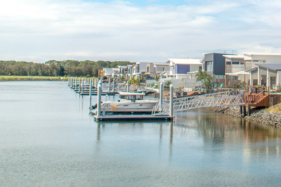
 |
15:07 - Crossing a bridge over another canal estate. |
 |
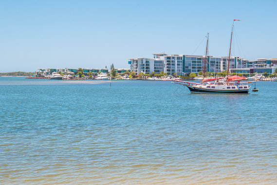
15:22 - The first high rise apartments at Runaway Bay Marina. |
 |
15:31 - Crossing Lands End Bridge behind the towering apartments to some park land. The shadow of the apartments is stretching across the water. |
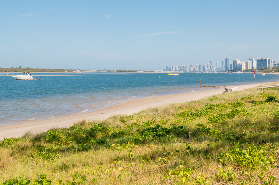 |
15:42 - First view of Gold Coast City, now less than ten kilometres away. |
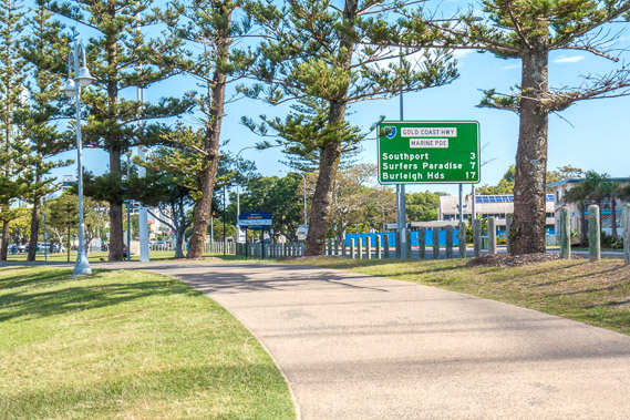 |
16:16 - Following the wide track towards the centre of the Gold Coast. Although Surfer's Paradise is only seven kilometres away, I will be turning at Southport to make a huge diversion exploring all the islands. I won't get to Surfer's Paradise for another 18 days. |
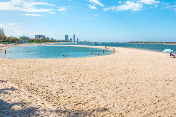 |
16:22 - Natural pool by the bay where locals take a late afternoon swim. |
 |
16:37 - Looking across to low sandbanks around Wave Break Island, well named giving shelter from swells coming in through the hidden channel between the mainland and South Stradbroke Island. |
 |
16:50 - View of the Gold Coast from an outdoor picnic area beside the track. |
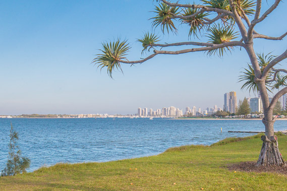 |
17:09 - A pandanus growing beside the bay, looking across to The Spit, the top end of the Gold Coast strip which ends behind Wave Break Island before crossing the channel to South Stradbroke Island. |
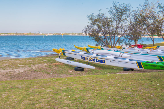 |
17:14 - Canoes beached above the bay after a day of training for the upcoming Commonwealth Games. |
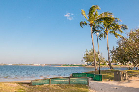 |
17:16 - Coconut palms growing by the peaceful waters of the bay, blowing in the gentle sea breeze. |
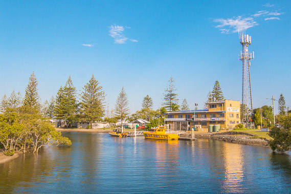 |
17:21 - The track diverts up Lodgers Creek and crosses over. One of the marine rescue centres is here, the first I've seen since Jacob's Well. |
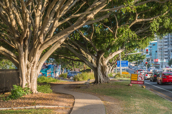 |
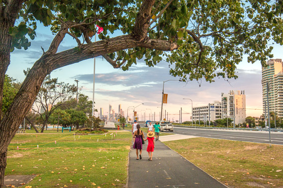
17:40 - Heading into the city, feeling very cluttered and noisy having been hiking through peaceful coastal residential areas and farmland for several days. |
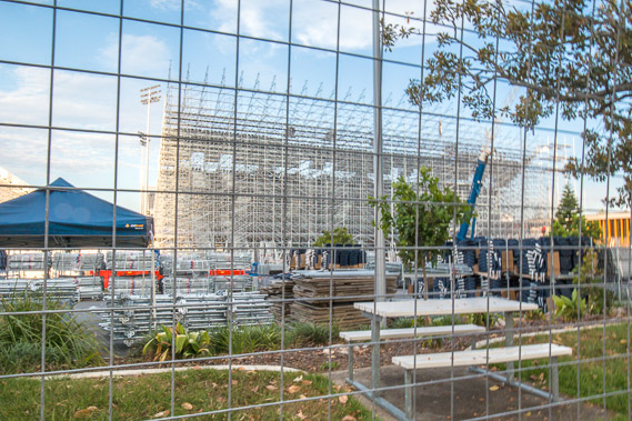 |
17:44 - Much of Broadwater Parklands is fenced off with the construction of stands for the soon to be running Commonwealth Games. |
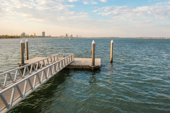 |
17:56 - Jetty overlooking the bay back along the coast I have hiked this afternoon as the sun sinks low. |
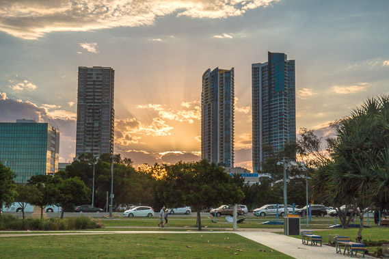 |
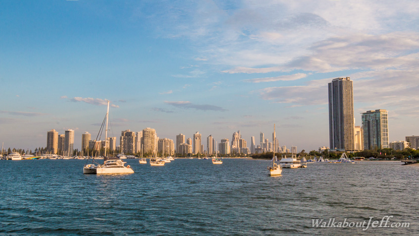
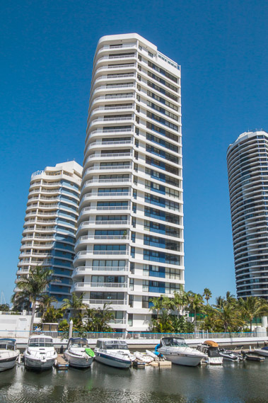
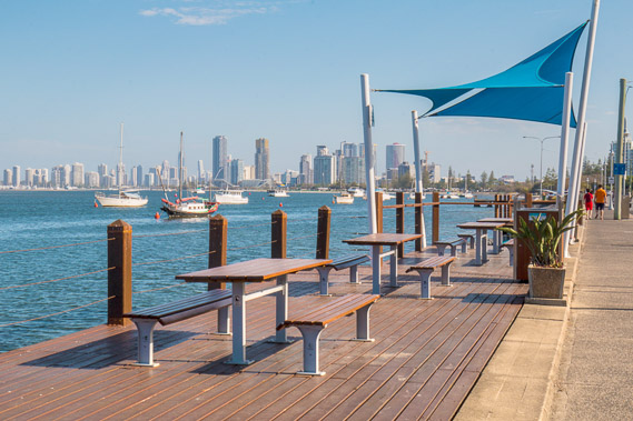
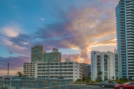
18:14 - Towers in Southport with great views of the setting sun to the west and of the bay and ocean to the right. |
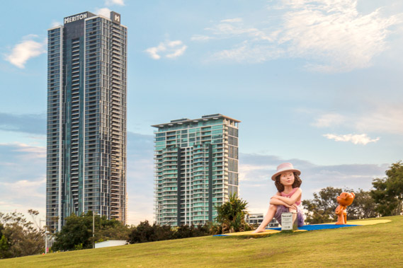 |
18:16 - A large statue in front of some huge apartment towers at ANZAC Park. |
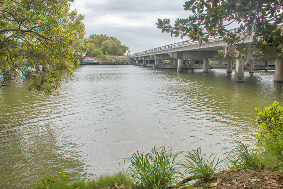
 |
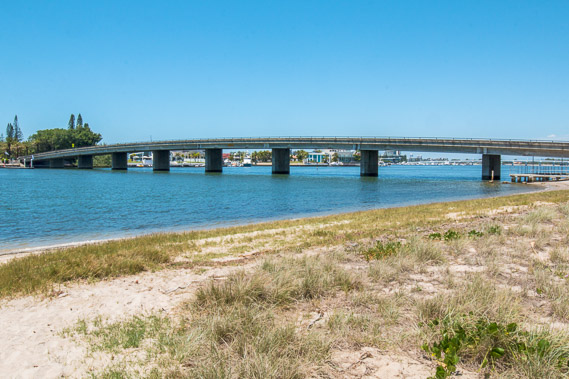
18:22 - Approaching the Sundale Bridge crossing the Nerang River. |
 |
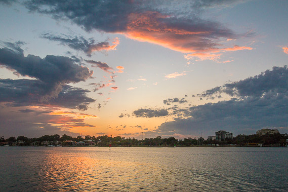
18:26 - Spectacular clouds viewed from the bridge as the sun sets over the distant western horizon. |
 |
18:29 - Crossing the Nerang River at the end of Moreton Bay. To the left of the bridge is Moreton Bay, to the right under the bridge is the Nerang River draining from the Tweed Volcano, and creating the main channel of the extensive canal estates behind the main coastal strip of Gold Coast City. |
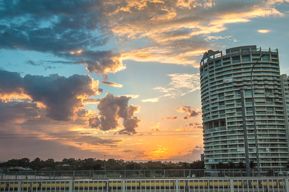 |
18:33 - The sun sets dramatically over the bridge. |
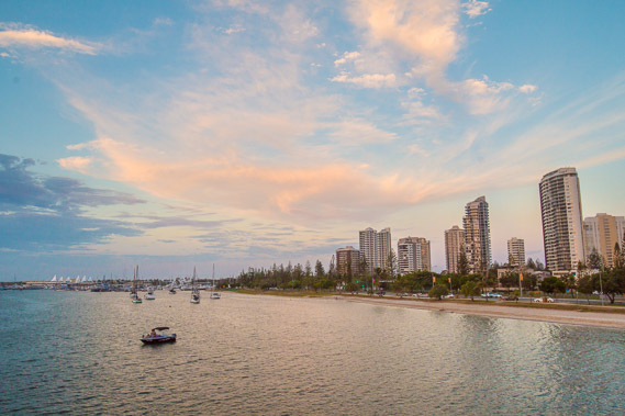 |
18:35 - View of the spit on the other side of the bay. I will be following this coast northwards along the other side of the bay from tomorrow morning, eventually reaching Cape Moreton after having hiked around 170 kilometres in eleven days. |
 |
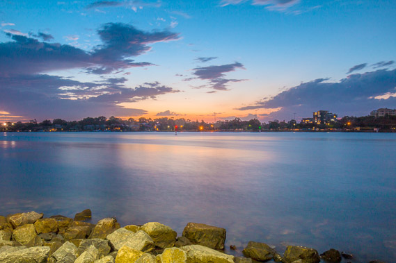
18:39 - Once across the bridge I head under it to the Nerang River from where I watch the last of the sunset. The channel here seems too wide to be a river, yet too narrow to be part of Moreton Bay. I assume the southern limit of the bay is at the bridge. |
 |
19:05 - The sky grows dark over the water, with the surrounding forest illuminated with all the waterfront houses along the canal estates. |
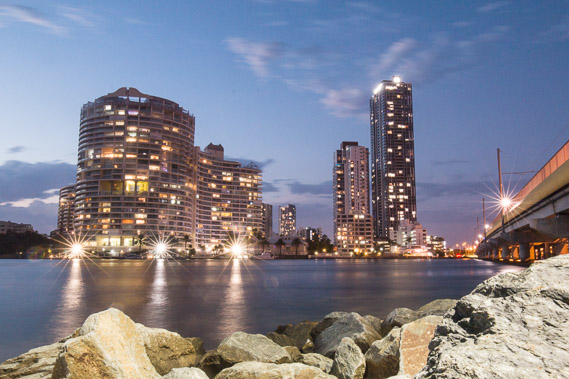 |
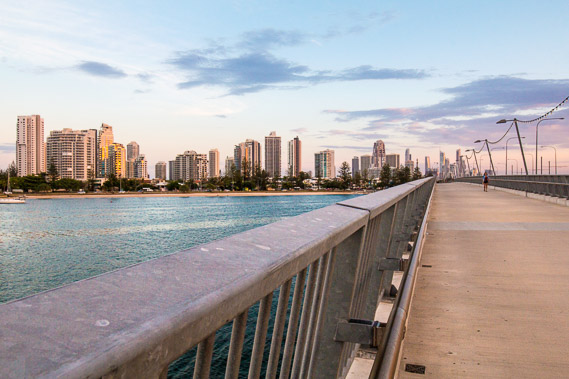
19:07 - The towers of Southport gleam above the river. |
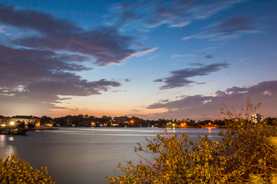 |
19:16 - Last light on the Nerang River before I turn in and prepare for a long northward journey starting tomorrow. |
|