This week in South East Queensland
25 February - 3 March
AUTUMN officially begins this week. In temperate climes, Autumn is the time of year when deciduous trees lose their leaves turning spectacular warm colours before they fall. Here in the subtropics there are no deciduous trees as the winters are too mild. This area does not have the dramatic changes in vegetation at any time of year. Although the hottest part of summer is now over, it is still the middle of the rainy season, and the transition of vegetation to winter is very difficult to notice.
Today's trek takes me from the mouth of the Nerang River up along the western side of The Spit to its top. From there I cross the channel to South Stradbroke Island and hike up its narrow middle until I can find my way to its west coast. From there I continue following the west coast northwards until reaching the camping ground at Tipplers.
Today's Journey
Distance hiked today: 27.5km
Total distance hiked to date: 787.9km
 |
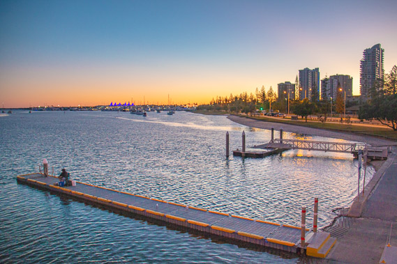
04:43 - First light of dawn from the northern end of the Southport Bridge. |
 |
05:00 - The sky growing light behind the high rises over the spit as the ocean roars unseen on the other side. |
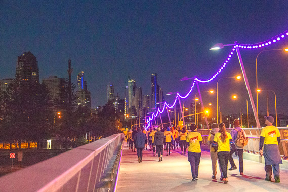 |
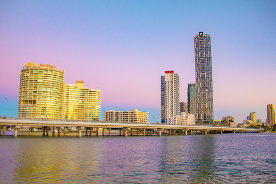
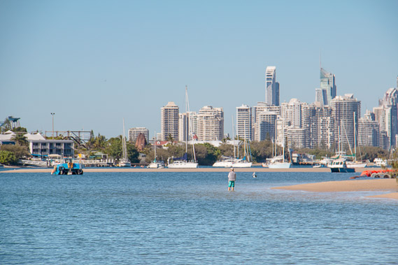
05:08 - Early morning walkers heading to The Spit with the towers of Surfer's Paradise only a few short kilometres away. I will be exploring them when I come back down the other side of the coast in seventeen days having explored numerous islands along the eastern side of Moreton Bay. |
 |
05:22 - Dawn on the other side of the bridge as a solitary fisherman gets his early morning catch and I begin the long journey northward along the western side of the bay all the way up to Cape Moreton over 170 kilometres away. |
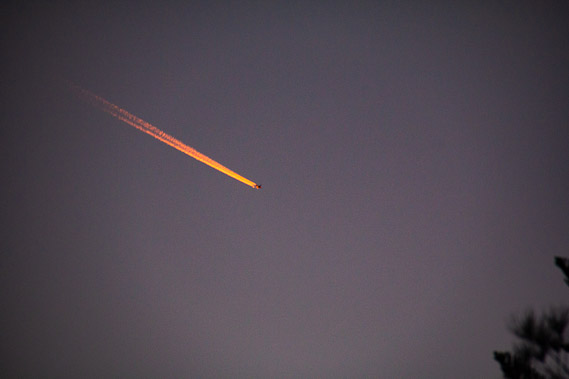 |
05:23 - A plane flies overhead going from Dubai to Auckland, a journey of over 16 hours due to land around midday. Its jet trail caught in the sunlight twelve kilometres overhead some twenty minutes before sunrise. |
 |
05:25 - View of the bridge from the bottom of The Spit. The blue darkess of night is now quickly falling towards the western horizon as the sun is about to rise in ten minutes. |
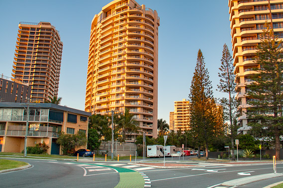 |
05:53 - Apartments at the northernmost end of the Gold Coast strip in front of the Southport Yacht Club capturing the first light of the rising sun. |
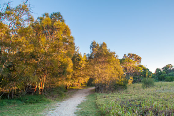 |
06:26 - A track leads into the scrubby bush on The Spit. The towering high rises have suddenly disappeared leaving the scrubby bushland and heathland that would have covered the entire coast before settlement. Although this view looks peaceful, the track is busy this morning with a lot of runners doing the weekly Southport Parkrun, and a lot of other walkers doing their morning exercise. |
 |
06:54 - The bush ends being replaced with grassy heathland over the dunes where many dangerous snakes lurk. Fortunately the track is wide and sightings few and far between. |
 |
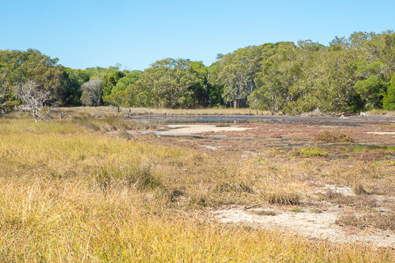
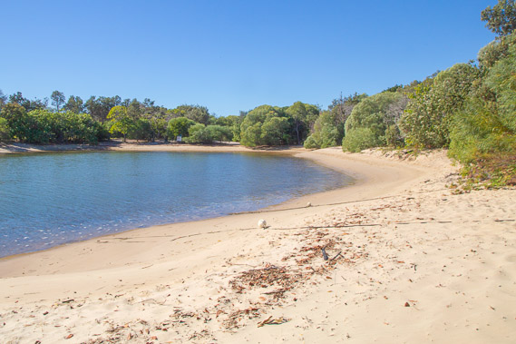
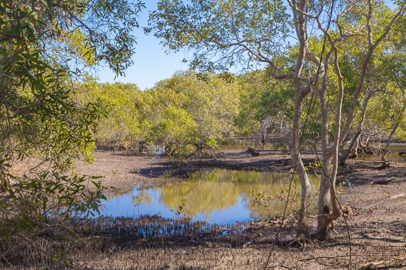
07:08 - I reach an open lagoon near the northern end of The Spit several kilometres north of Southport. |
 |
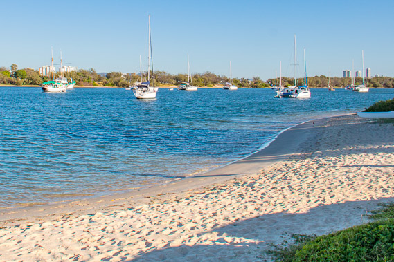
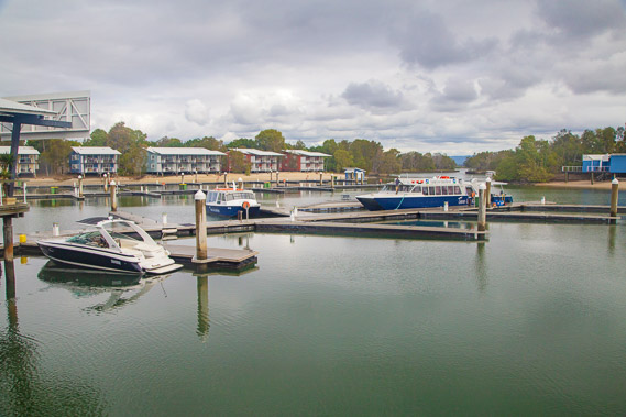
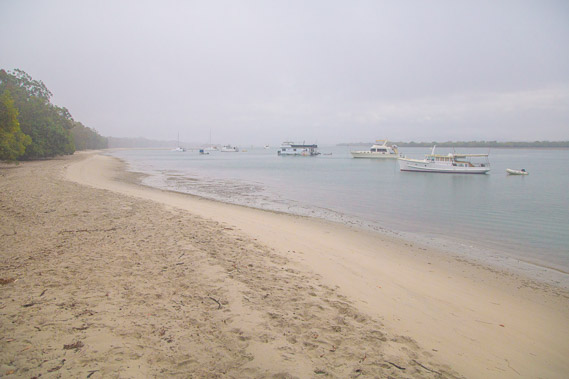
07:25 - View from the northern end of the lagoon back towards the Gold Coast centre. The lagoon makes a very sheltered harbour for the many boats moored here. |
 |
07:41 - I continue following the soft sands of the lagoon around the sandspit to its end on the way to the broadwater channel. |
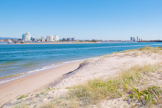 |
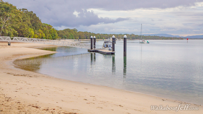
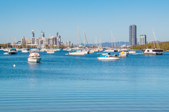
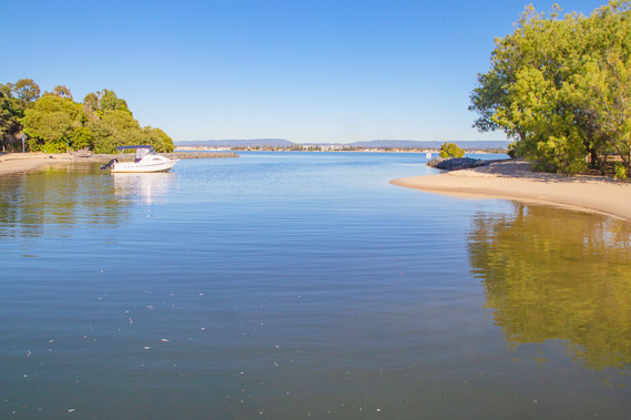
07:54 - Rounding the point into Broadwater looking past the apartment towers I hiked past yesterday. The bay is already started to widen at over a kilometre wide now, with small sand islands in the channel. |
 |
08:01 - Walking along the beach just before being picked up to take me across the channel to South Stradbroke Island. Wavebreak Island is to the left. |
 |
08:13 - Heading out into the deep channel of the broadwater, the route where the Nerang River flowed when the sea level was lower in ice ages past. |
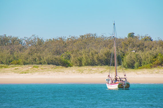 |
08:18 - A yacht moored up by the beach of The Spit. |
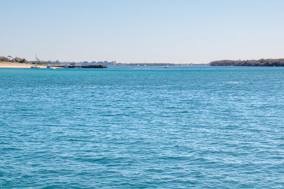 |
08:21 - Following the broadwater with Wavebreak Island to the left and South Stradbroke to the right. A huge cruise terminal and casino/resort was once proposed here, but fortunately the plan fell through and this pristine island has been left alone. |
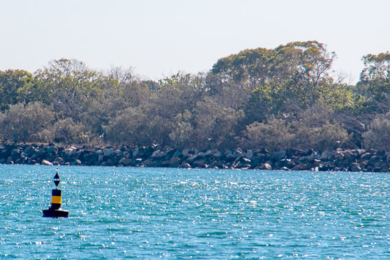 |
08:32 - Approaching the precarious rock wall at the northern side of The Breakwater at the southern end of South Stradbroke Island. |
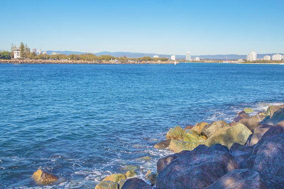 |
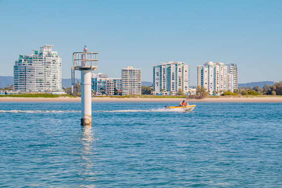
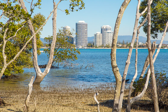
08:42 - Looking across the channel from the breakwater where I was dropped off to The Spit on the mainland. I will be off the mainland hiking on islands before I return to this spot in seventeen days. |
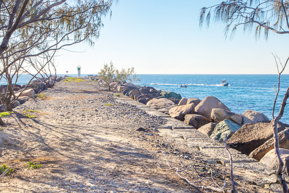 |
08:44 - Looking out on the wall to the end of the breakwater and my first glimpse of the open ocean since entering Moreton Bay on Bribie Island twenty days ago. |
 |
08:46 - Dropping from the breakwater to the sand of South Stradbroke Island. The breakwater and thick bush on the other side of the island makes navigation almost impossible, so I follow the wrong side of the island for a few hundred metres before I can cross back over. |
 |
09:09 - Reaching a marker where I can cross to the other side of the island. |
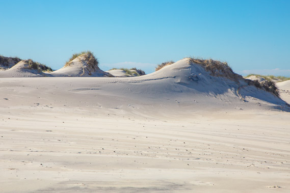 |
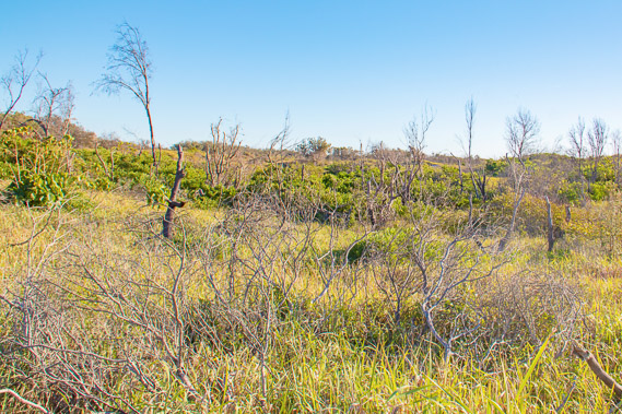
09:14 - To cross over the island, I need to follow the dunes for some distance with the thick vegetation on the other side making a barrier. I just need to look for a way through. In the mean time I make the most of these loose dunes capped with spinnifex grass. |
 |
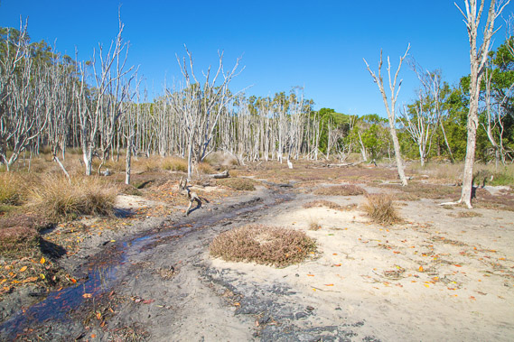
09:23 - After some distance, the dunes give way to grass and the grass ends in mangroves, indicating I'm very close to the bay. The southern end of South Stradbroke is only about two hundred metres wide. |
 |
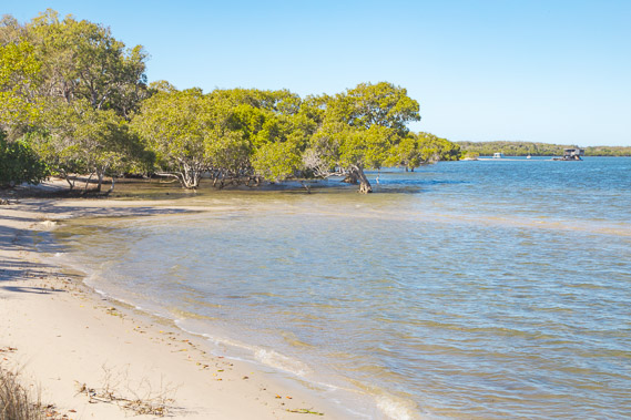
09:27 - I have reached the coast having navigated about 40 metres of mangroves. I'm directly opposite the first high rise aparments I hiked past yesterday afternoon. |
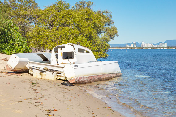 |
09:33 - A wrecked yacht lies abandoned at the northern end of the mangroves. |
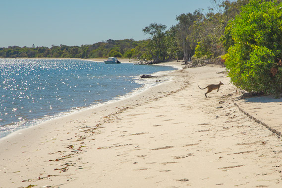 |
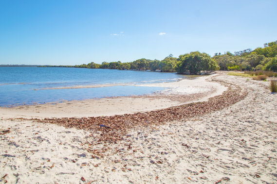
09:41 - From here the beach along the side of the bay is easy to follow. A foraging wallaby hops into the bush. |
 |
09:58 - South Currigee Camping Ground. Very peaceful most of the time but no doubt gets crowded during the holidays when boaties come up from the Gold Coast. |
 |
10:04 - A small tidal stream just above the camping ground. |
 |
10:22 - There are now private houses hidden in the trees behind the beach, so I follow the narrow soft sand dirt road. There are no sealed roads on this island, and only local residents can take vehicles across here. With that being said, this is a very quiet neighbourhood with almost no activity at all, a stark contrast to the chaos of the Gold Coast. |
 |
10:51 - Reaching the lagoon of North Currigee at the end of the residential area. |
 |
10:57 - Back of North Currigee. The camping ground is just to the right of the lagoon. |
 |
11:10 - I follow the dirt road up the middle of the narrow island. Thick forests of mangroves cover this part of the bay side of the island. The road is long and hot. Rain is forecast for later today, but there are absolutely no clouds in the sky. |
 |
11:43 - After half an hour with absolutely no signs of civilisation some clouds do become visible in the distance with the coming sea breeze. Nearly all of the island is national park, pristine and safe from any future development. |
 |
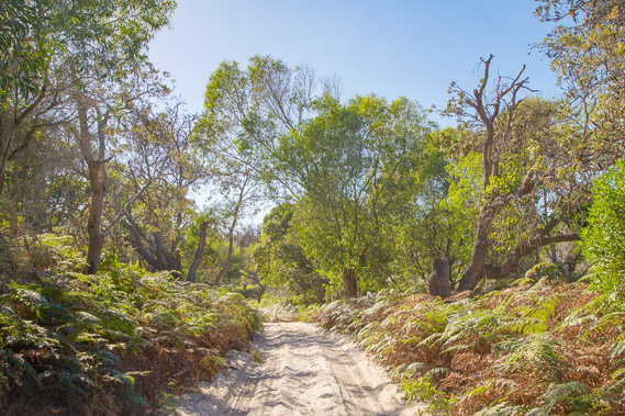
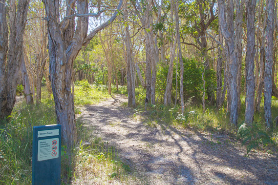
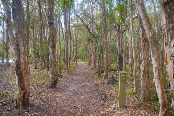
12:34 - I finally reach the entrance to Brown's Track, which heads back to the coast through this spectacular stand of trees. |
 |
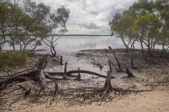
12:48 - Reaching the coast at the end of Brown's Track. The tide is mostly in now with the gentle waters of the bay lapping on the mangroves. |
 |
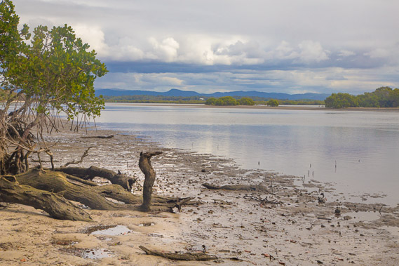
12:51 - Looking up the coast. Thick forests of mangrove go for as far as the eye can see and the tide is still coming in, so I decide to head back into Brown's Track. |
 |
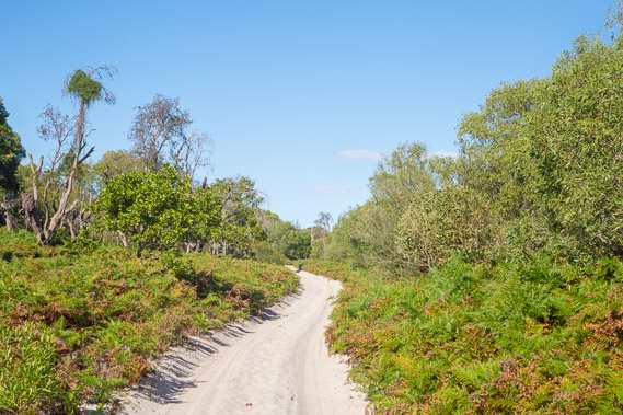
13:00 - A short distance back along the road, I find this well graded walking track, the southernmost part of a walking track network around the Couran Cove Resort. |
 |
13:29 - The track undulates over the forested sand dunes under the humid air and strong sun. |
 |
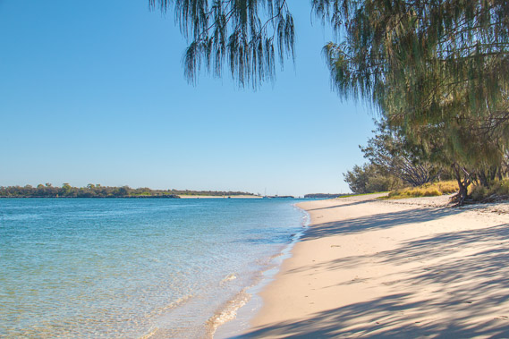
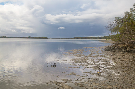
13:53 - The track briefly returns to the coast, where the forest meets the mangroves before the track heads inland again. |
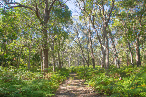 |
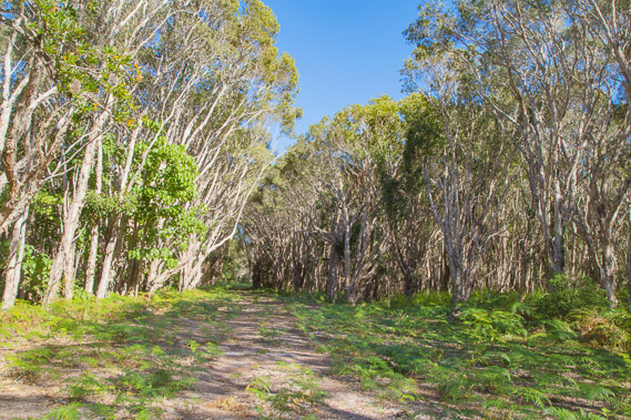
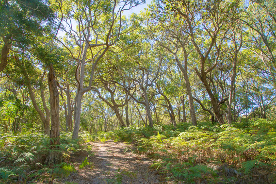
14:23 - The track continues through the tall forest with bracken undergrowth on the sandy track. A subcanopy of rainforest palm trees forms in parts. I was not expecting rainforest here. |
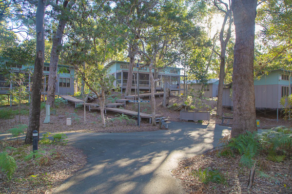 |
15:01 - Reaching the forest lodges of the Couran Cove Resort. From here a track heads east to a small surf club the main beach, but I head into the resort. |
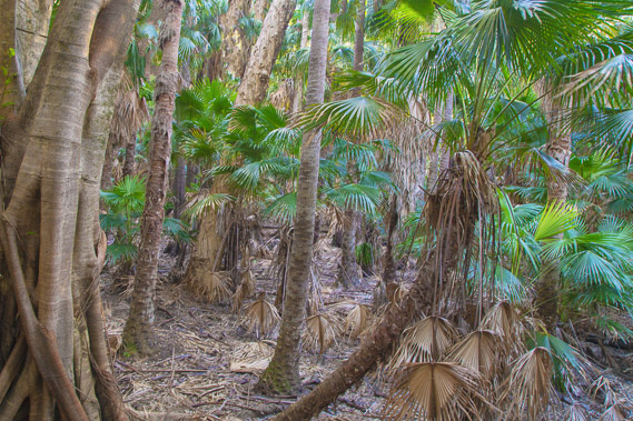 |
15:13 - Entering the elevated rainforest walk where spectacular strangler figs tower above the palms. |
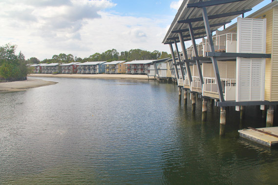 |
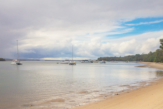
15:23 - I reach the Couran Cove Resort waterfront. Numerous units overlook the water. |
 |
15:47 - The clouds quickly thicken carried by the South Easterly trade wind, bringing squally rain. The final hike up to Tipplers is going to be a bit soggy. |
 |
16:05 - I head out through the resort towards the garden picnic area. As expected it is very quiet here under the sheltered picnic tables looking over the bay as the rain falls. |
 |
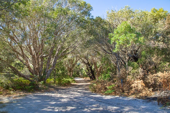
16:13 - The wide coastal track leads from the picnic area all the way up to Tipplers. As I would later realise, South Stradbroke has by far the best network of walking tracks and camping of any of the islands. If any hikers were to ask me about the best coastal hiking on the South East Coast, I could recommend South Stradbroke to them. The other islands have less facilities better servicing the 4WD market. |
 |
16:19 - View back towards the Gold Coast hinterland as the tide drains out of the mangrove channels leaving mud flats. The track follows the coast, but in most part it is about ten metres inland in the forest with only the occasional view. |
 |
16:30 - Looking north along the coast towards Tipplers, and more rain falling over the north of the island. |
 |
16:48 - Approaching Tipplers about an hour north of the resort. |
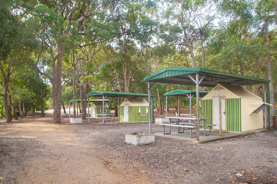 |
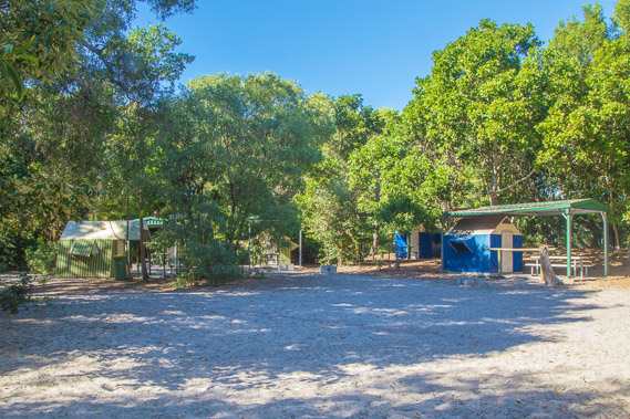
16:57 - Tipplers Camping Ground where I'll be staying the night. This is the last outpost of civilisation on this island. The camping groud is very quiet at this time of year, but very busy during school holidays. |
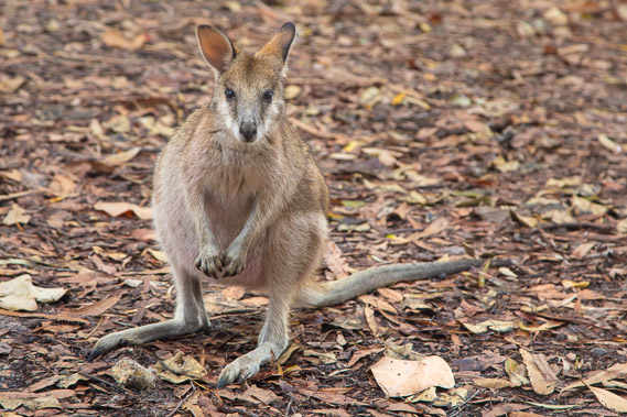 |
17:09 - A wallaby in the camping ground as I set up camp. There are many of these on the island probably due to the lack of predators. There are no streams or fresh water lakes on the island, so I'm not sure where they get their drinking water from. |
 |
17:19 - Shortly after setting up the tent, heavy rain starts falling reminding me we are still in the middle of the rainy season. |
 |
17:35 - Despite the turbulent late summer squalls, the bay is calm. Tipplers Island is on the other side of this channel with numerous other islands stretching across to Jacob's Well some 15 kilometres across the bay. These mangrove covered mud islands form the Southern Moreton Bay Islands National Park. |
 |
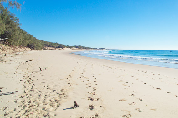
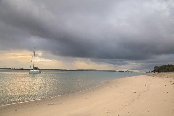
17:54 - The sun tries breaking through the cloud before it sets as I explore the beach. The water looks very inviting but there are a lot of big sharks in the water. They get particularly dangerous in the early morning and late afternoon. A netted swimming enclosure is in front of the camping ground, but even that has had sharks in it. |
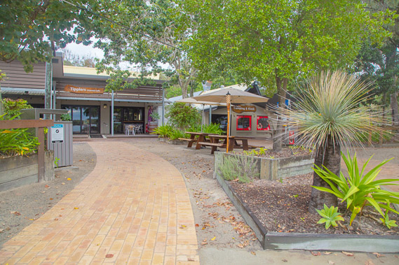 |
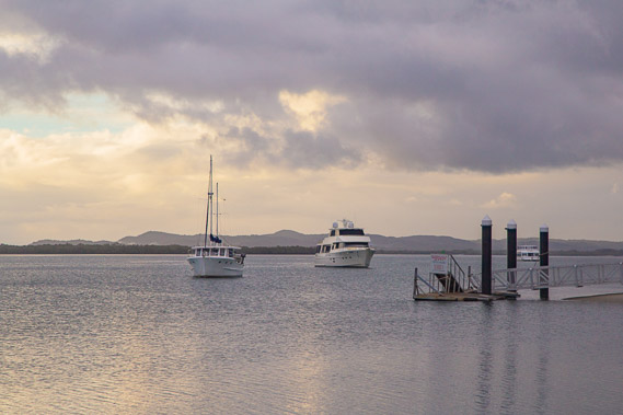
18:11 - Tipplers Cafe from the jetty servicing the camping ground and boaties who stop at the nearby wharf. It used to also service a resort further in the bush which closed in 2009, but has somehow survived since. It is the only shop on the island. |
 |
18:18 - Now the rain has cleared to the north as the sun sets unseen over the horizon to the left, I can see the tall rolling dunes of North Stradbroke Island. |
 |
18:35 - More rain cloud comes over as I head back towards the camping ground. |
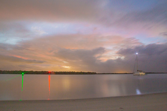 |
18:58 - Last of the light over the broadwater with the lights of Brisbane eerily illuminating the rainclouds. This is the start of a very dark and solitary moonless night in the camping ground. |
|