This week in South East Queensland
4 - 10 March
ALTHOUGH the cities are rapidly expanding, fortunately there are large pockets of land set aside as national park. These pristine reserves will protected against the ravages of human settlement and to remind us of what the land was like before settlement. The natural and cultural heritage of these national parks will remain protected for generations to come.
Today's trek takes me up the northern end of South Stradbroke Island, before hopping across the uninhabited Crusoe, Short and Cobby Cobby Islands to the bottom of Russell Island. I need to take this route as the the very frail and culturally significant bottom end of North Stradbroke Island is closed to access.
Today's Journey
Distance hiked today: 14.7km
Total distance hiked to date: 802.6km
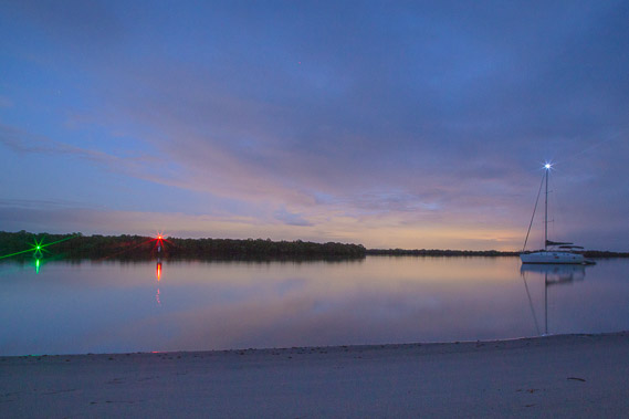 |
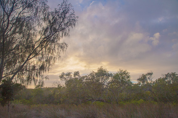
04:43 - First light over the sky at Tippers. The humid air is still and the bright lights of Brisbane City illuminate the clouds to the north west. The only sound here comes from the soft roar of breaking waves on the other side of the island. |
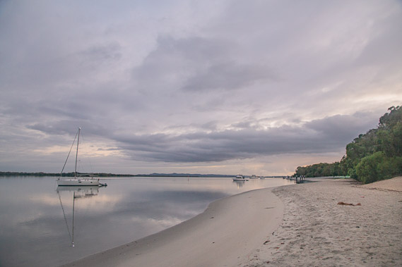 |
05:09 - I start following the beach northward beside mirror smooth water under overcast skies as the sky lightens. |
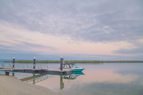 |
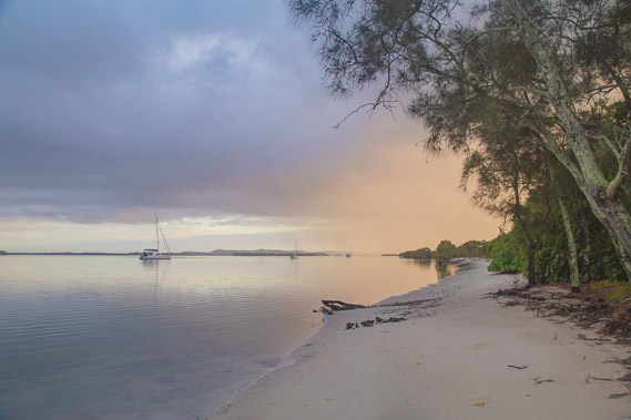
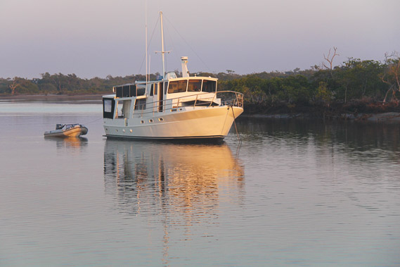
05:17 - A boat moored at Tipplers in the early morning from a couple of workers who arrived overnight and will be doing some maintenance. |
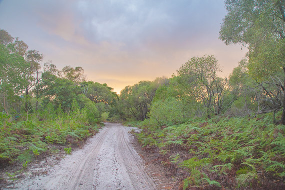 |
05:40 - From the cafe I follow a dirt track down the coast. This is the main road northwards. The sun is now rising over the sea to the east. The ocean's roar is muffled by the scant forest. |
 |
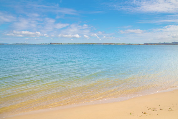
05:52 - The road reaches a private boat club going around its outer boundary to this soft sandy beach. The track continues up the island, but I follow the beach for a short distance. |
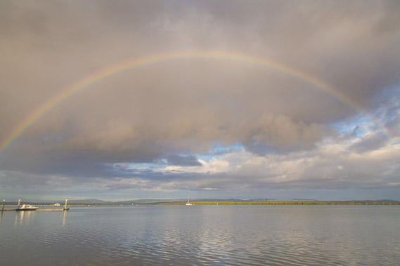 |
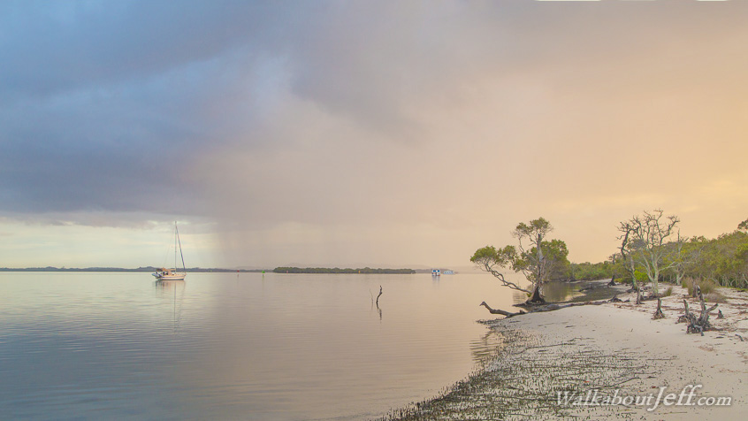
06:08 - Looking back down the channel towards Tipplers. A large rainbow captures the rain to the south. It is raining both to the north and to the south, but none is falling here yet. |
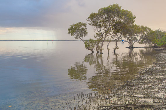 |
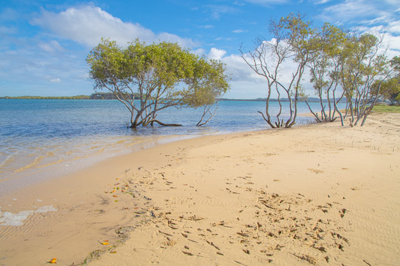
06:21 - Rain falls over North Stradbroke Island as the sandy beach morphs into mangroves. From here I follow a rough track back to what remains of the road. |
 |
06:25 - Heading through the mangroves towards the road as the rising sun falls behind the cloud and large drops of rain start falling. |
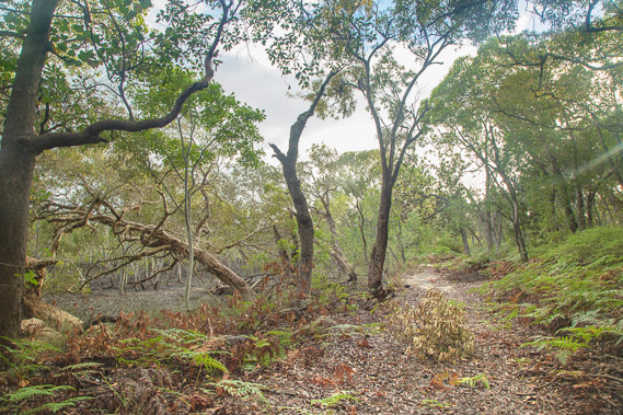 |
06:41 - The rain is short lived and the sun comes out again as I follow what is left of the road now largely overgrown with bracken. The road follows the edge of the mangroves before tracking inland. |
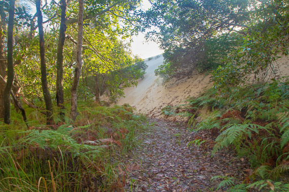 |
06:54 - The track abruptly ends at this seven metre high advancing sand dune. I see wallaby tracks going up it and decide (with having nowhere else to go apart from back tracking), to climb to the top. |
 |
07:01 - It is very hard work climbing the steep soft sand in the early morning heat. |
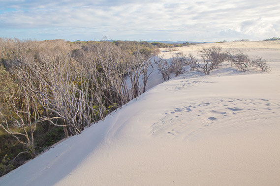 |
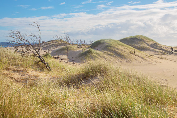
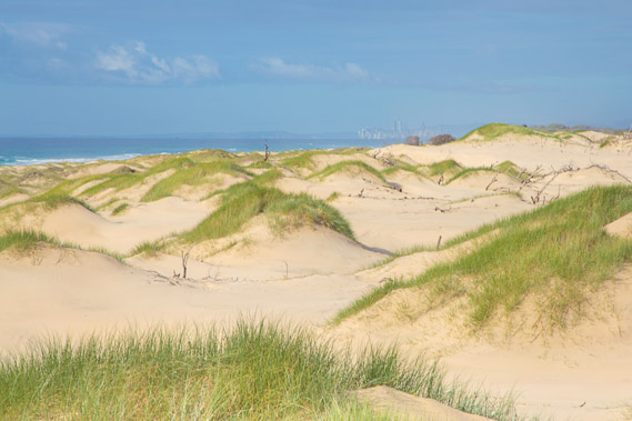
07:03 - I reach the top of the dune, where the forest has suddenly transformed into desert. The advancing wave of sand is killing off the forest as it is absorbed by the fine grains carried by the prevailing wind. |
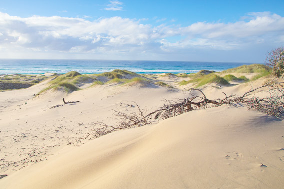 |
07:10 - Looking eastward, the ocean is only about three hundred metres away. Spinnifex grass holds together the tops of the dunes as the sand is blown across the top by the prevailing south east trade winds. |
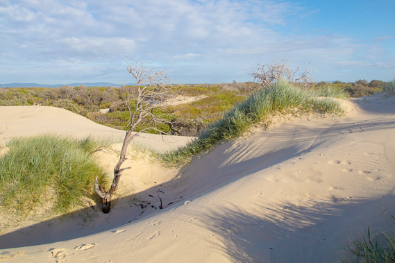 |
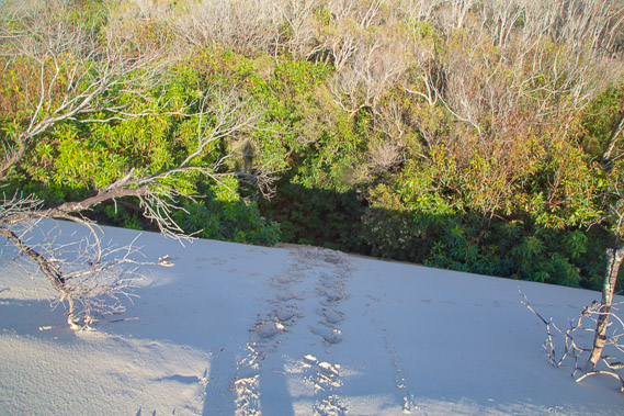
07:14 - The dunes are covered in wallaby tracks as they rise up and down above the forest providing easy access towards the top of the island. |
 |
07:25 - The island continues to narrow until the dune is hovering over the mangroves. The high hills of North Stradbroke Island are now visible with the sky clearing. |
 |
07:32 - The remains of a dead forest overtaken by the dunes. |
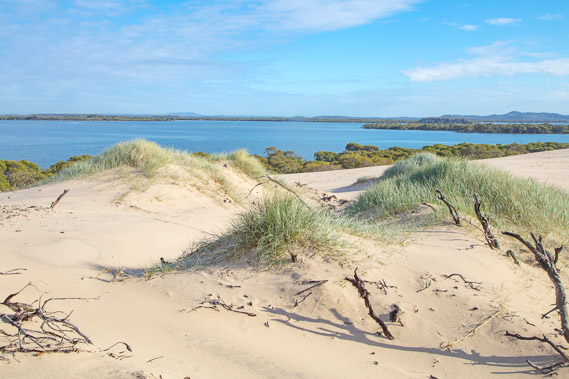 |
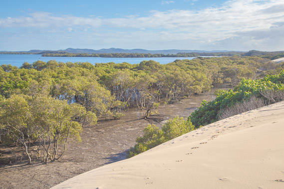
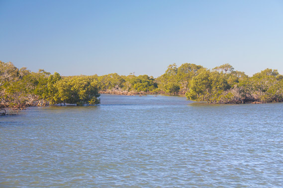
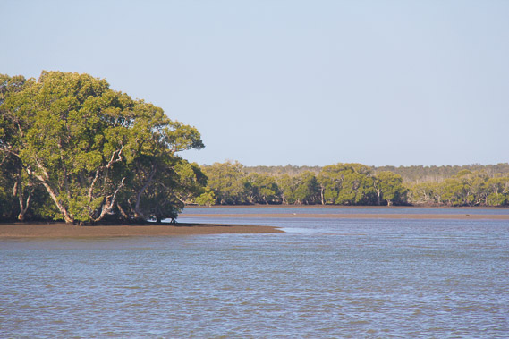
07:33 - Overlooking the pristine channels of water of southern Moreton Bay, dotted with mangrove islands. This is the direction I'm heading in today, eventually reaching Russell Island only just visible in the far distance in the middle of this shot. |
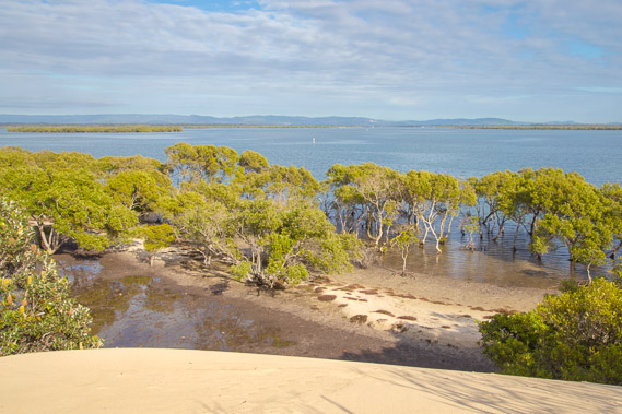 |
07:42 - Once more close to the water's edge looking up the main channel towards Jacob's Well in the centre distance. I was there just a couple of days ago looking back in this direction. Although full of islands, Moreton Bay is getting a lot wider now. |
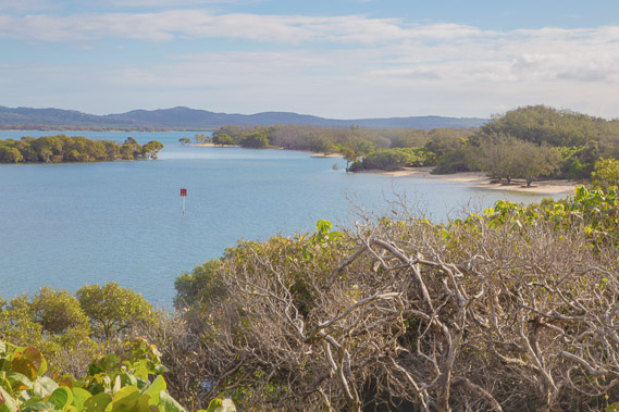 |
07:43 - The little bays behind Shelter Island. The dunes are getting harder to navigate now with increasing vegetation and the mangroves below me are ending, so it's time to head back to sea level and follow the beach. |
 |
07:46 - Before descending, I look back over the dunes seeing the Gold Coast city just visible in the background through the salt haze. Hard to believe the city is less than two days' walk away from this very remote national park location. |
 |
07:57 - Reaching the channel behind Shelter Island. This would be a good remote anchorage, but free of any boats today. |
 |
08:11 - Looking along the channel in the direction I'm heading. The tide is most of the way in now. |
 |
08:21 - An abandoned camping ground known as The Bedroom. Once a popular camping ground, this has closed due to erosion in this frail dune environment. |
 |
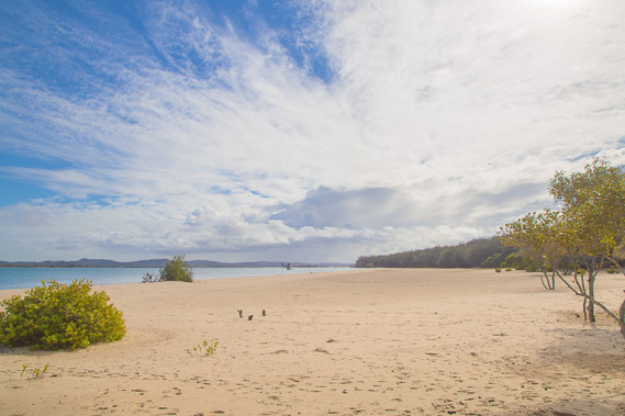
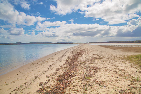
08:29 - Continuing along the beach in front of The Bedroom as the tide contines to rise. |
 |
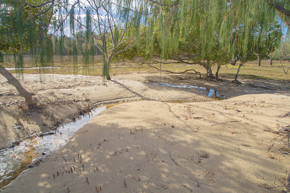
08:33 - Reaching a stream draining a small tidal lagoon soon to be refilled. |
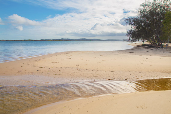 |
08:38 - Looking towards the sand hills of North Stradbroke. The very frail and culturally significant south western end of the island is closed so I won't be able to get onto North Stradbroke today. |
 |
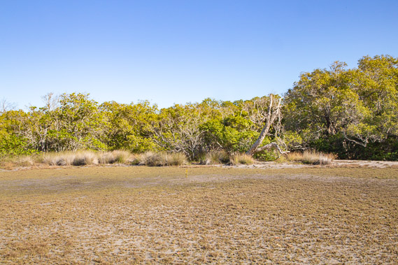
08:43 - Reaching a large tidal flat approaching the top of the island. |
 |
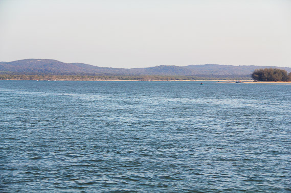
08:51 - Looking across the bay to the uninhabited mangrove islands I'll be crossing later today. The deep channel has been carved out over the past century and a half since a huge storm created a channel between the two Stradbroke Islands. |
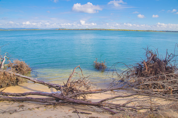 |
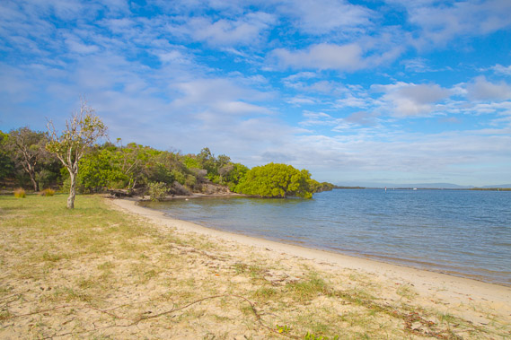
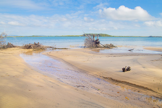
09:18 - The main channel is now very close and deep as it swings by the island eroding its shore taking the silky oak forest with it. |
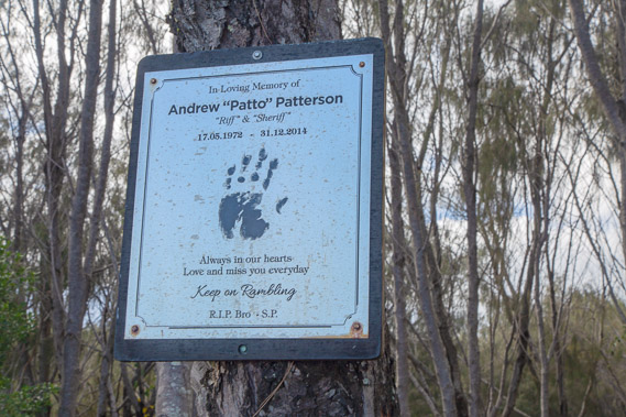 |
09:29 - A memorial plaque, no doubt where ashes were scattered at this fisherman's favourite fishing spot in this remote area. |
 |
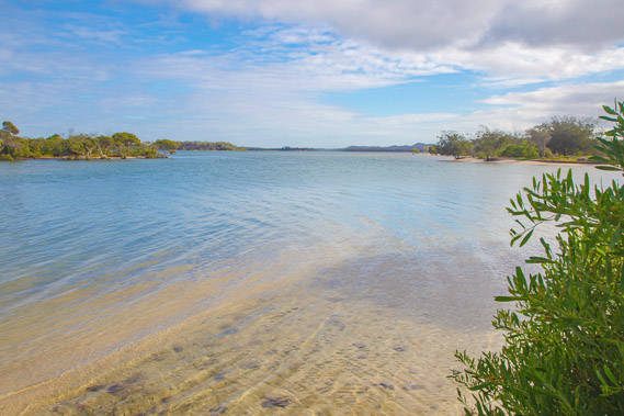
09:31 - Reaching the start of a spectacular lagoon near the top of the island. This lagoon is closed north of this point over much of spring and summer due to the large number of migratory birds living here with the rich fish supplies in the lagoon. |
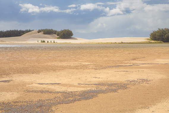 |
09:33 - As far as I can go with views to the dunes with the ocean on the other side. I am near the top of the island and will be exploring those dunes when I come back down the other side along the main coast in early winter. |
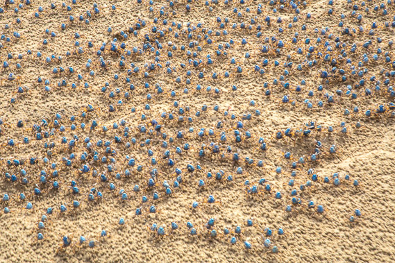 |
09:34 - Little soldier crabs, making the entire basin look as if it is moving. These provide a plentiful food supply for the migratory birds. |
 |
09:49 - Heading offshore by boat with the sand hills of North Stradbroke in the distance, and the low Stingaree Island in front. Part of South Stradbroke is visible to the right nearby as I head offshore. The islands I'll be tracking over the next couple of days will pass the south western corner of the island, going around the closed off area of south western North Stradbroke and Stingaree Islands. |
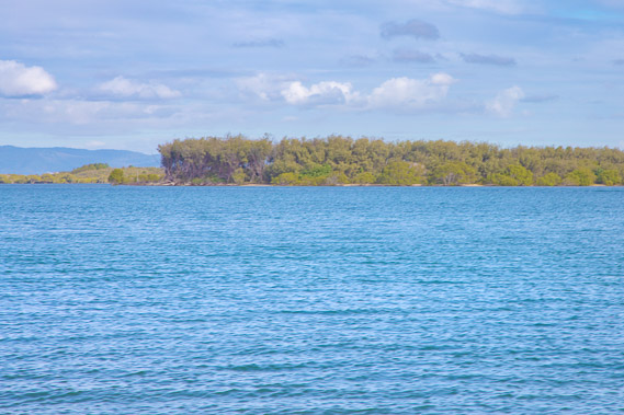 |
09:57 - Approaching the uninhabited Crusoe Island, perhaps named after Robinson Crusoe. |
 |
10:04 - Reaching Crusoe Island looking for a landing point in a gap in the mangroves. |
 |
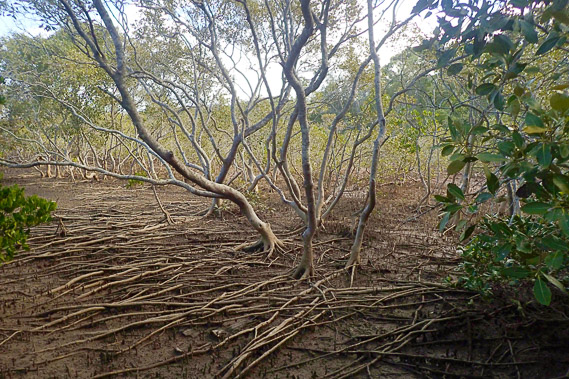
10:28 - Crossing Crusoe Island through mangroves. The entire island is compacted mud and mangroves and definitely uninhabitable. There are a lot of mosquitoes here too. |
 |
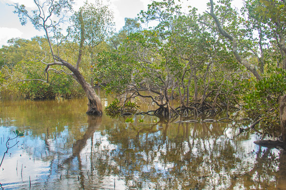
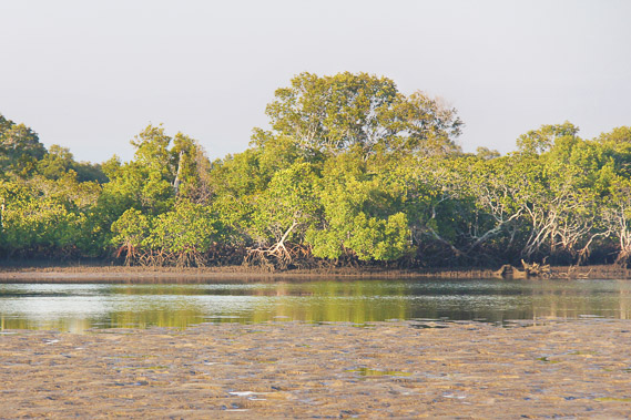
10:43 - More mangroves with the soil eroded from the roots with the constant sweep of tides. Fortuanately the spring tides are not as high at this time of year as they are in mid summer and mid winter. The mangroves create quite an obstacle course making for slow progress. |
 |
10:53 - Reaching the water at the north eastern end of the island. |
 |
11:18 - Heading across the channel from Crusoe Island (in this view) and Short Island by boat. The sky has cleared and it is already mid afternoon thanks to the slow progress through the mangroves. |
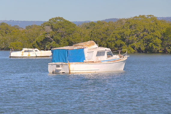 |
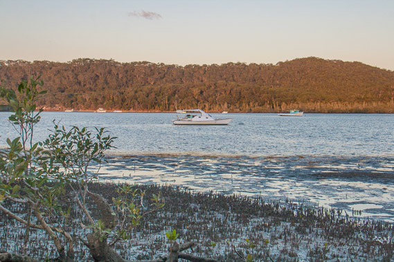
11:23 - Boats anchored off Short Island. |
 |
11:45 - Short island is a bit easier to cross through its centre with large flats around the mangroves and the tide now going out. |
 |
12:17 - Continuing across the island over one of its interlinked salt flats. |
 |
12:48 - Heading out by dinghy from the top of Short Island crossing the narrow channel to Cobby Cobby Island. |
 |
12:55 - Reaching a small beach on the southern shore of Cobby Cobby Island. |
 |
13:03 - The sun goes behind thick smog from a distant bushfire just after making landfall. |
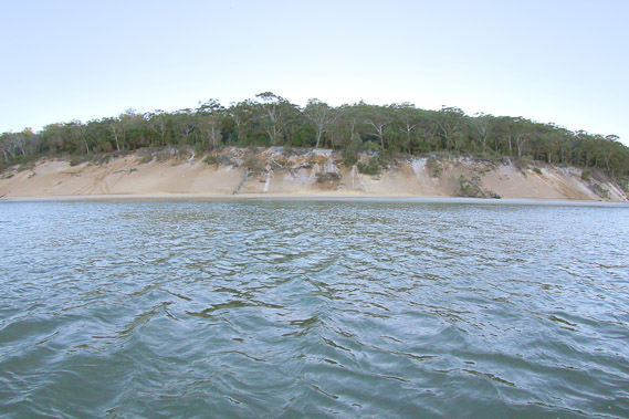 |
14:09 - With the tide further out, I head around the island's east coast looking across to North Stradbroke Island. These cliffs on North Stradbroke are the Slipping Sands, where a deep channel is eroding the side of the island. This is just north of the closed off point, but I continue heading up Cobby Cobby Island. |
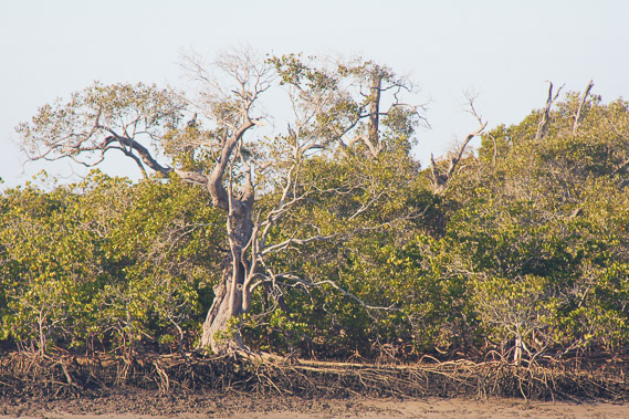 |
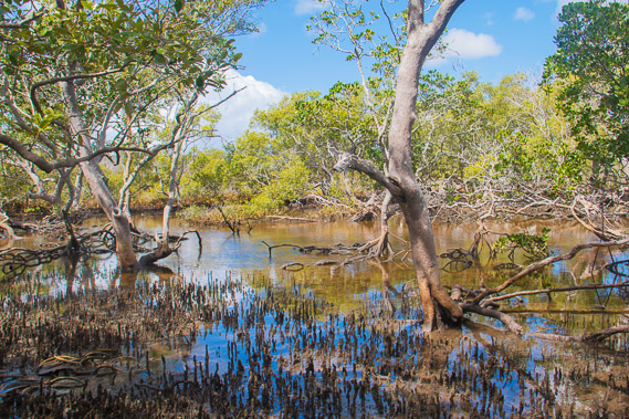
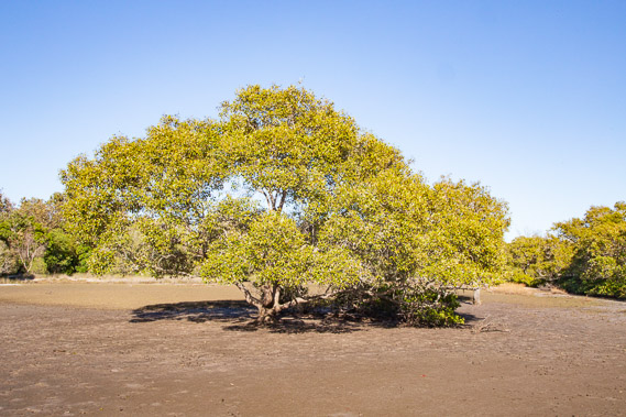
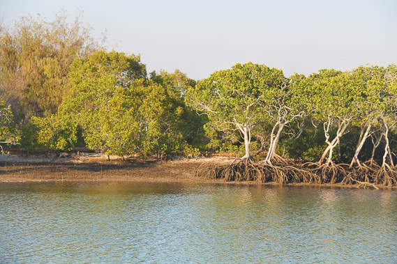
16:20 - Gnarly forest of mangroves along the muddy coast of Cobby Cobby Island. Cobby Cobby is the smallest of five islands making up the Southern Moreton Bay Islands National Park, covering about half of Moreton Bay's mangroves between here and Jacob's Well. |
 |
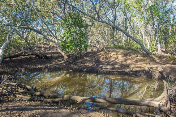
17:01 - Reaching a small inlet near the top of Cobby Cobby. Crossing a dried tidal bank, I'm technically on Oak Island now, but it has dry access to Cobby Cobby in all but the highest tides. |
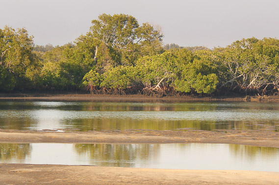 |
17:05 - Nice pools between Oak Island and Cobby Cobby Island left by the earlier high tide whilst I await my boat. |
 |
17:19 - Crossing the channel from Cobby Cobby to Russell Island - my fiinal boat trip island hopping today. |
 |
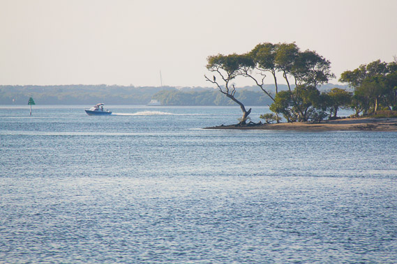
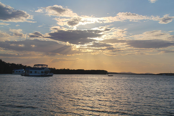
17:25 - Passing a boat moored off Russell Island capturing the early evening sunlight. |
 |
17:48 - Reaching the southern end of Russell Island at the Lions Boulevard Camp Gound just as the last sunlight shines on the forested dunes of North Stradbroke. |
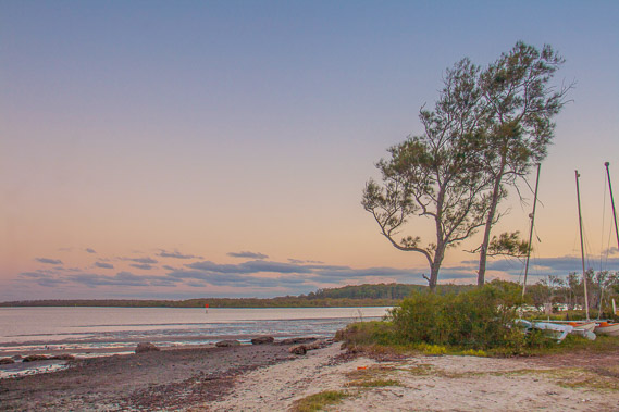 |
18:11 - The sun sets as the clouds dissolve away to the west viewed from the bottom of the camping ground. There are houses on the hill behind me, the first civilisation I have seen since leaving Tippers at sunrise. |
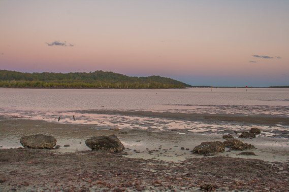 |
18:23 - Looking down the channel of North Stradbroke back towards South Stradbroke a little after sunset. |
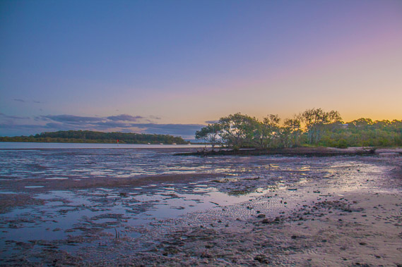 |
18:46 - Last light viewed from the mud flats at the bottom of Russell Island before I turn in for the night to escape the insane numbers of mosquitoes here. |
|