This week in South East Queensland
11 - 17 March
FOUR inhabited islands lie nestled in the shallow waters of southern Moreton Bay. Some time ago these were subdivided and sold off as cheap residential blocks with the promise they will enormously appreciate in value once a bridge is built across to them from the mainland. To date there's no definite plans for the bridges to replace the regular ferry and water taxi service. Many houses on these isolated mosquito infested islands are up for sale, many still amongst the cheapest in the whole of South East Queensland.
Today's trek takes me up the length of Russell Island, starting with crossing the Melomy Wetland then following the main roads up the island's 8 kilometre length taking hiking tracks where possible until reaching the jetty, from where I catch the boat up to the smaller Karragarra Island and hike around its circumference.
Today's Journey
Distance hiked today: 16.7km
Total distance hiked to date: 819.3km
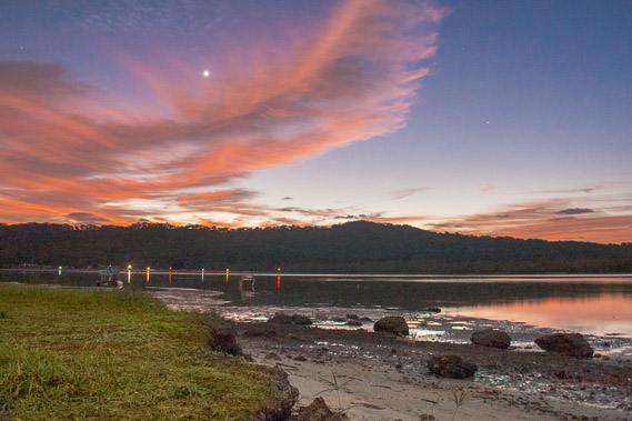 |
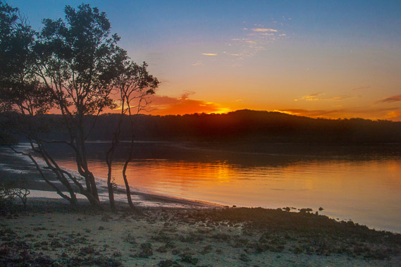
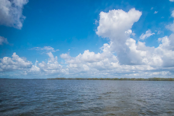
04:58 - The pre-dawn sunlight captures dramatically on the cirrus clouds coasting overhead. Venus leads the sunrise behind the dark silhouette of North Stradbroke Island. |
 |
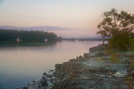
05:11 - The tide is out as I look down North Stradbroke to Slipping Sands to the left. The low form of Cobby Cobby Island extends to the right. |
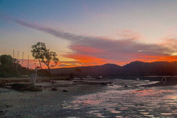 |
05:32 - I start following the coast westwards, glancing back at the dramatic sunrise. The mosquitoes here are terrible with the large quantities of repellant I'm using having little effect. |
 |
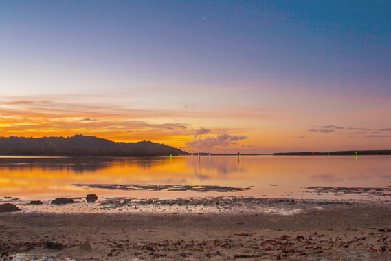
05:44 - The sun rises over the horizon behind Stradbroke as I continue following the banks of the mud flats. Fortunately the tide is out. |
 |
05:47 - A light mist envelopes the channel as I continue hiking along the rocky and muddy bank brushing away the clouds of mosquitoes. |
 |
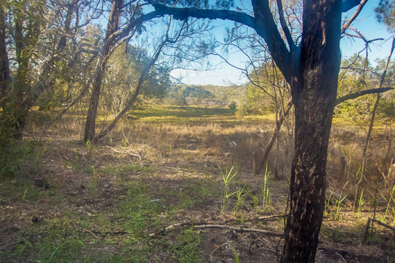
06:06 - It is not long before I reach the start of Melomy Wetland and walk through the soft tidal grass over the boggy ground. |
 |
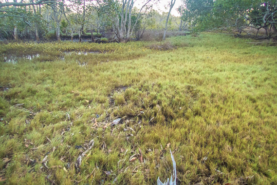
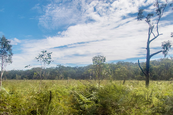
06:19 - The grass doesn't last long. I come out into the main wetland and find a track through the reeds. The sun has risen and is already shining on the trees on the far side of the reeds. |
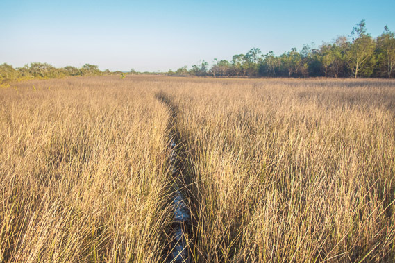 |
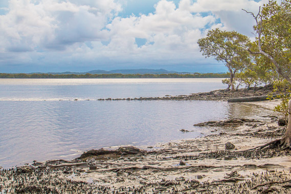
06:34 - The hot sun rises as I follow a rough track through the reeds. I find the occasional survey peg from when this entire island was once mapped out for residential properties. This area gets flooded by the high tides, so these plots of land never sold. |
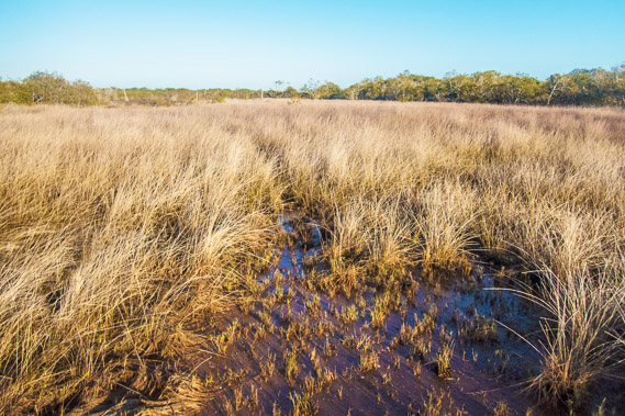 |
06:42 - Eventually the reeds get lower and I can see the end of the wetland in the distance, marking the eastern side of the bottom of the island. |
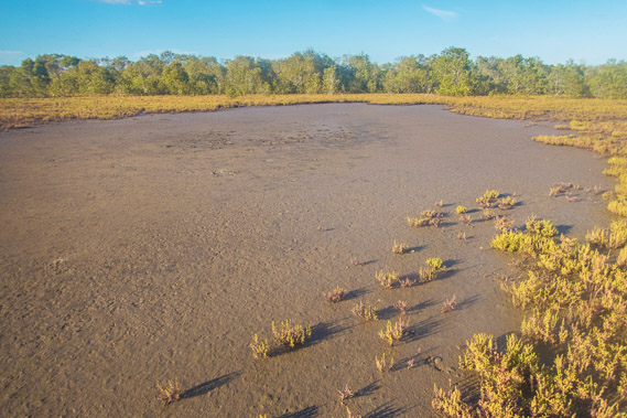 |
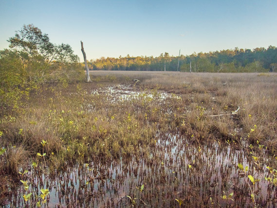
06:53 - A salt pan on the wetland still damp from the overnight tide. It's hard to believe these tidal flats were part of a subdivision marked out when the entire islands (and those to the north of it) were agressively marketed as cheap residential housing to massively appreciate in value when a bridge is built from the mainland. |
 |
07:30 - Crossing a small tidal stream now dried out. It is extremely humid and the mosquitoes here are worse than anywhere I've ever been. |
 |
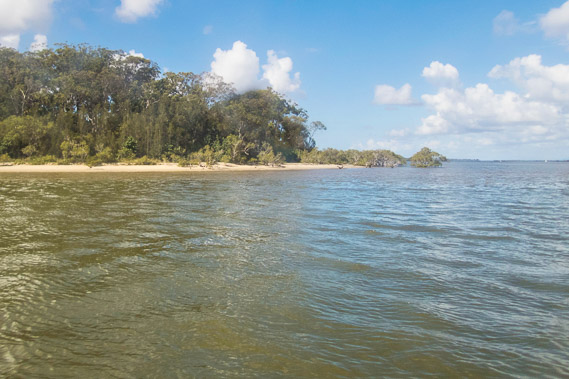
07:52 - I reach the forest at the end of Melomy Wetland. Fortunately there is little undergrowth making it navigable. |
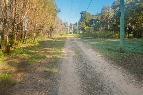 |
07:53 - I reach a gravel road, and follow it to the east towards some houses at Rocky Point. |
 |
08:08 - Reaching the end of the road at Rocky Point Park at the south western end of the island. The shadow is a pylon from where electricity is sent by poles across from the mainland in the distance. |
 |
08:13 - Looking across to the mouth of the Logan River. I stop here for breakfast for as long as I can sit in one place and not be eaten alive by the mosquitoes. |
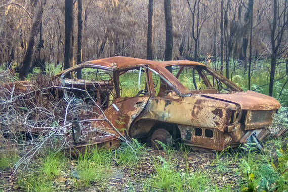 |
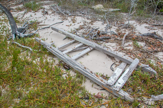
09:41 - From the point I follow the dirt road back to a sealed road, then divert along a walking track near Water Mouse Wetlands passing this old wreck, a car obviously having seen better days deteriorating in the new forest. |
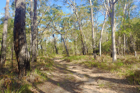 |
11:01 - The track ends at a long road going through the forest with the odd residential pocket before reaching this unnamed track heading northward over one of the main hills of Russell Island. |
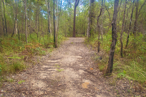 |
11:23 - The track ends at the main Centre Road which I follow for some distance before finding a network of new tracks along the Russell Island Wetlands Conservation Area which has not been subdivided for residential housing as much of the island has. |
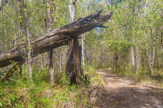 |
11:44 - The track passing through eucalypt forest, with one tree having snapped during a past storm. |
 |
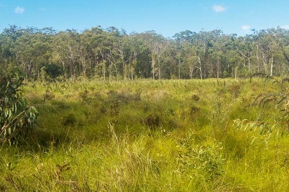
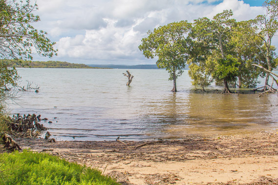
12:26 - Some of the wetlands at Browns Bay. There are no views of the water indicating the size of these wetlands and the thickness of the tall grass. |
 |
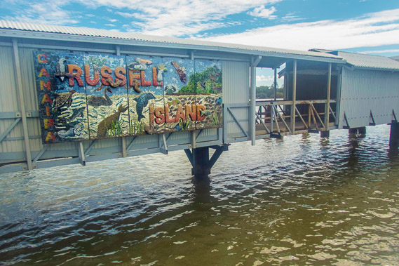
13:06 - The last of the wetlands before reaching a road heading across a hill along High Street through the main town of Russell Island to the jetty. There is a school and a couple of shops to service the island, but otherwise it is all residential for those 1800 people brave enough to live amongst the perpetual clouds of mosquitoes. |
 |
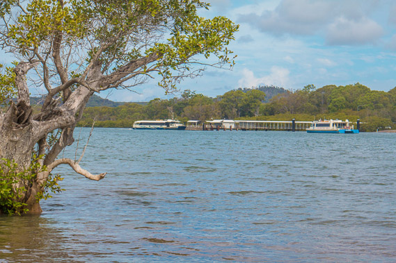
13:59 - At the main jetty on the north coast of Russell Island eight kilometres due north of where I started this morning. From here I catch the boat across to Karragarra Island. |
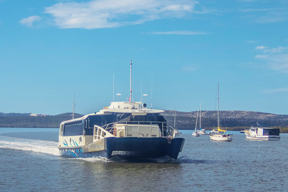 |
14:36 - The boat arrives with the rolling sandhills of North Stradbroke Island in the background. |
 |
14:44 - Heading out over the channel with the cloud now increasing. It's a huge relief having a reprieve from the mosquitoes. I have not seen anywhere in the world with such a serious biting insect problem (and I have been to notorious places like Sandfly Point in Milford Sound which isn't this bad). |
 |
15:08 - Passing one of the points of Karragarra Island as we circle right around to the other side of the island to the jetty along its northern coast. |
 |
15:19 - Shelter viewed from the Karragarra Island wharf. This is a much smaller island than Russell, no doubt rarely visited. |
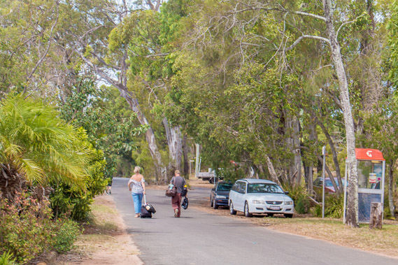 |
15:20 - Residents heading home after a trip to the mainland. Although there are a few cars parked here, the 4 square kilometre island with about 1 square kilometre of residential development at this end of the island really is too small for cars to be economic. Many of the 160 residents of these islands have cars parked on the mainland. |
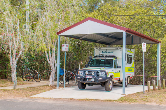 |
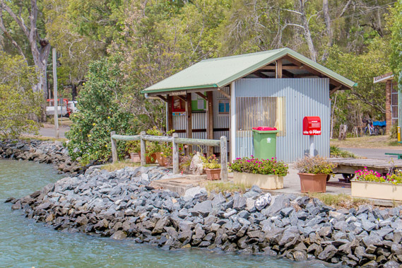
15:21 - The emergency services shed. There are no shops on the island (that I could see). This is a very isolated place to live if you are into it, and can handle the mosquito insanity - they are swarming here too. |
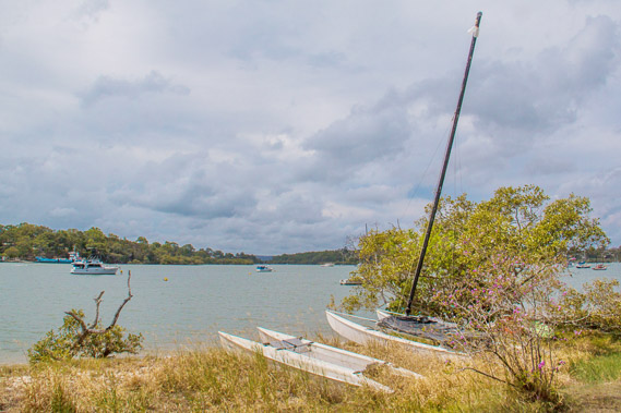 |
15:25 - The cloud thickens as I continue heading around the northern side of the island passing the Karragarra Yacht Club. Macleay and Lamb Islands are across this channel. I will be exploring them tomorrow. |
 |
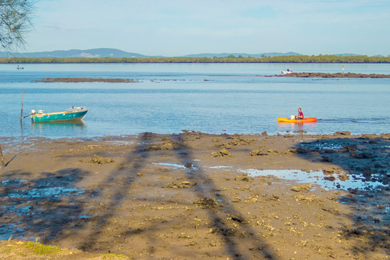
15:28 - A boat beached on the shore as the tide comes close to its peak. There are a few houses nestled in the trees behind the beach, but otherwise it is very quiet here. |
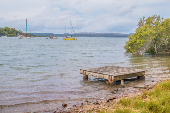 |
15:41 - A little boat platform. Looking across to Lamb and North Stradbroke Islands. |
 |
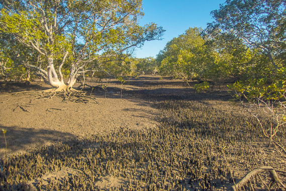
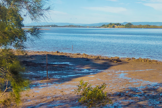
16:05 - Last view of the beach before cutting across the eastern end of the island along a road across the mangroves. |
 |
16:15 - Reaching a little beach on the northern side of the island. |
 |
16:18 - Looking back across the channel from the beach to the Russell Island wharf. I've decided the mosquitoes are just as bad here on Karragarra. |
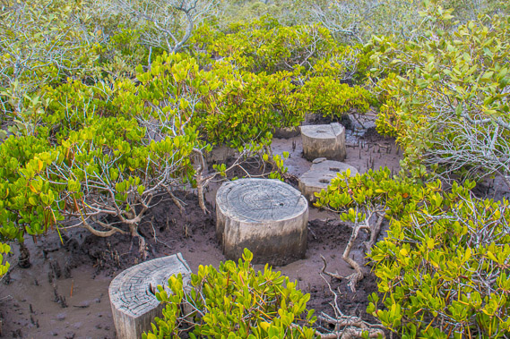 |
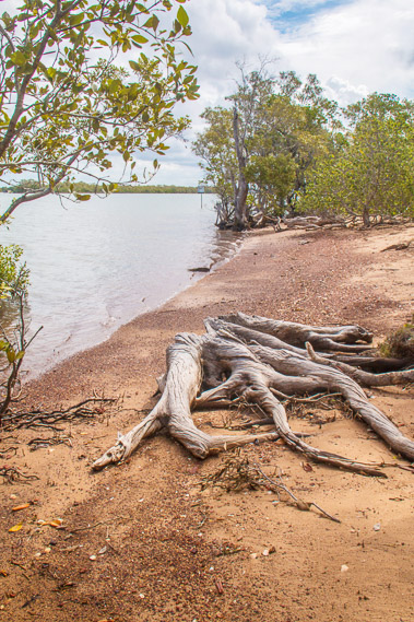
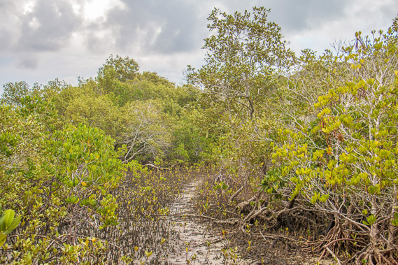
16:32 - The beach quickly ends in a large mangrove swamp. Most of the way I can walk on a narrow sand bank, but there is one muddy patch which fortunately has cut log sections to hop across. |
 |
17:07 - Heading through the mangroves, I start finding pieces of debris washed up from the channels, brought down the streams and rivers by floods, and carried by currents and storms to their resting places in the mangoves, littering the coastline. |
 |
17:10 - The track continues through the mangroves as I endlessly brush off the mosquitoes. |
 |
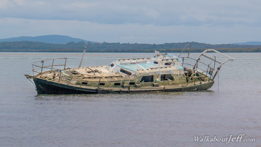
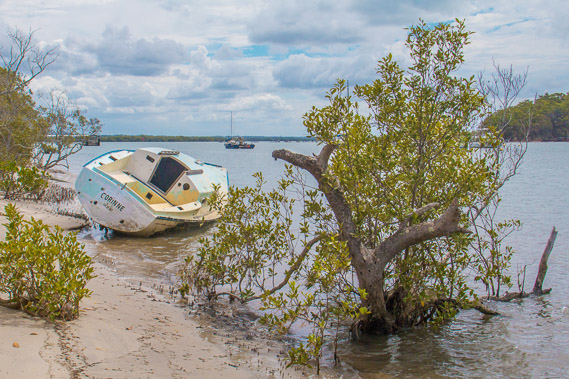
17:16 - More mangroves and clouds of mosquitoes as I see an abandoned yacht wrecked offshore. |
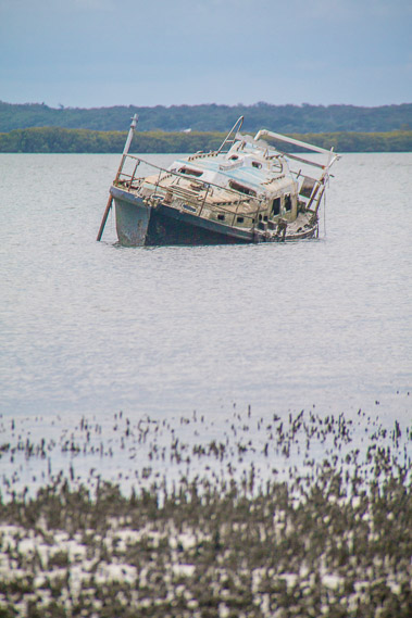 |
17:18 - The abandoned yacht has drifted here and sunken in the muddy water. The tide is now half out, but the hull is badly damaged causing it to almost completely submerge at high tide. |
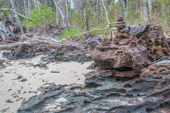 |
17:20 - Passing a cairn constructed on top of the mudstone as I continue around the coast. |
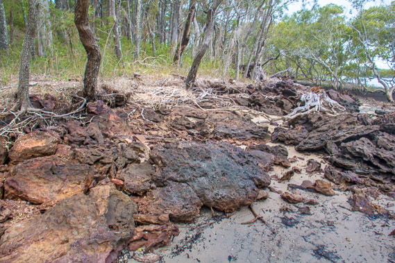 |
17:23 - The sand and mud eroding away the rock at the bottom of the hill. I see houses at the top of the hill through the trees. |
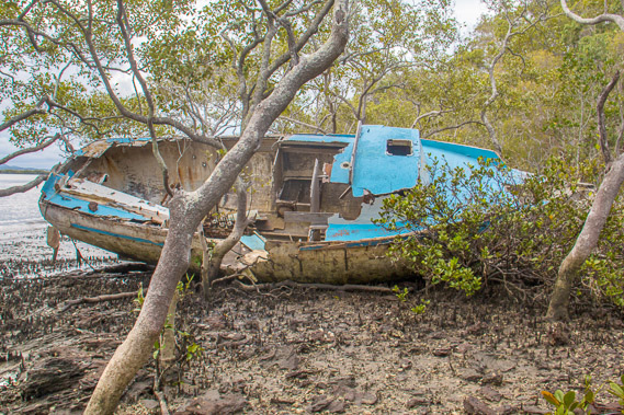 |
17:35 - Another abandoned yacht wrecked in the mangroves from breaking its mooring during a big storm and drifting across the bay. |
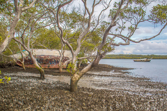 |
17:47 - View of both abandoned yachts in the remote mangroves. |
 |
17:55 - Heading around a point at the end of the southern coast to the short western coast of this small island. Across the water is the uninhabited Pannikin Island in front of Talburpin Point at the bottom of Redlands. |
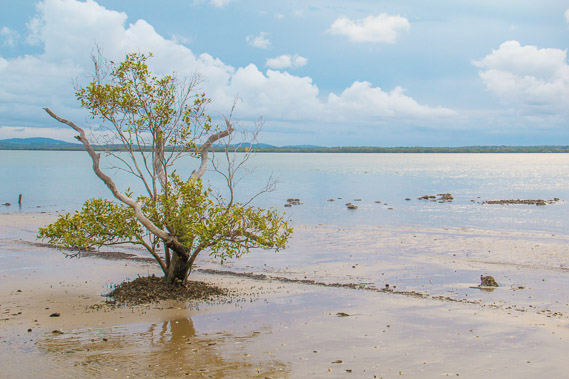 |
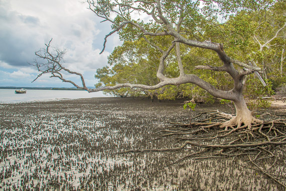
18:00 - A solitary mangrove growing in the soft sand on the western shore as the tide continues going out. |
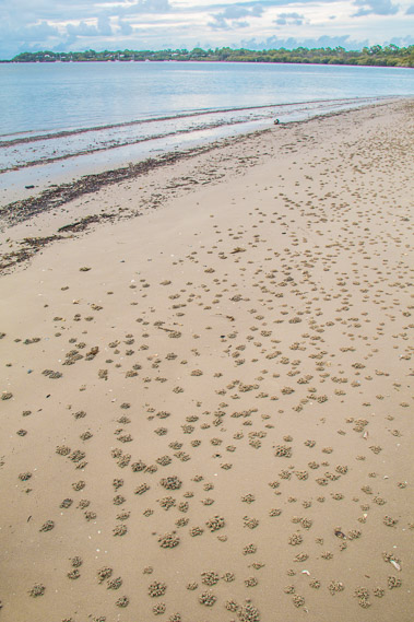 |
18:01 - Little piles of sand left by crabs filtering it for food after the tide has gone out. Macleay Island is now visible again. |
 |
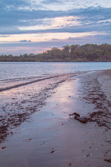
18:06 - The sun sets lighting up the layers of cloud overhead. |
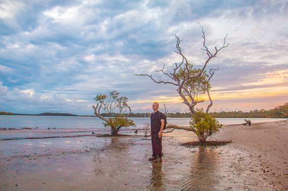 |
18:24 - I look out towards Brisbane as the sky darkens, standing still only for a very short time before the clouds of moquitoes swarm on me. |
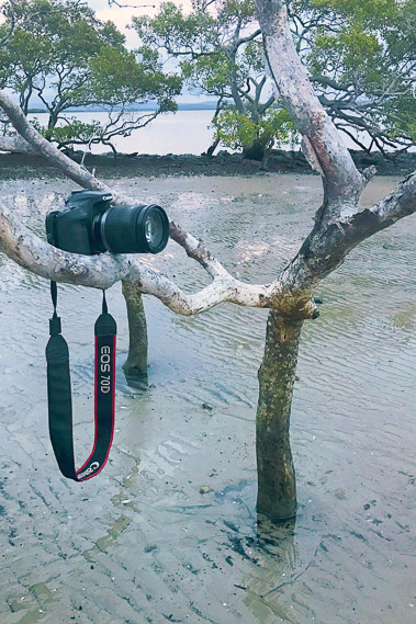 |
18:27 - Mangrove branches acting as my assistant photographer when I don't have one in this isolated location. |
 |
18:30 - Walking along the beach back towards the jetty having almost completed the circumnavigation of this tiny island. |
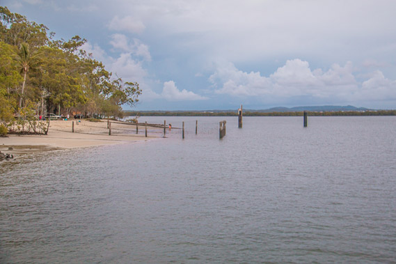 |
18:39 - View of the main beach and park from the wharf. A small shark proof enclosure makes for safe swimming here. |
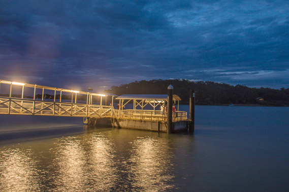 |
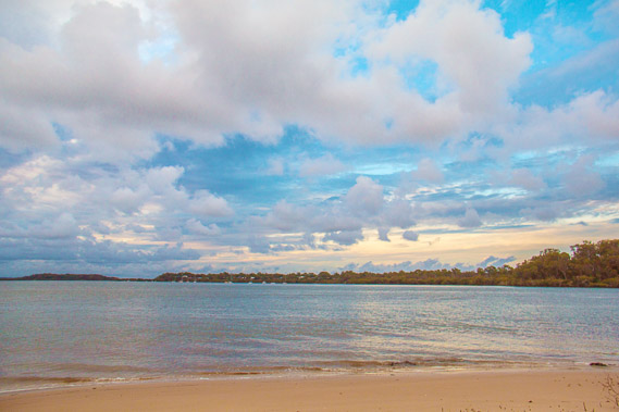
18:55 - Night falls over the wharf looking towards Macleay Island where I'll be crossing to at first light tomorrow. In the mean time I seek shelter to stop myself being eaten alive by the mosquitoes. |
|