This week in South East Queensland
18 - 24 March
EVERY area you explore has a history behind it, explaining the area's origins and different features and industries appearing over the years. A lot of this history is easily forgotten, but thanks to the work of dedicated locals, the history can live on through museums and heritage trails. There are a lot of heritage trails around the Brisbane area, with markers and information signs leading the way. This week marks the autumnal equinox. Although many parts of the world would be seeing brilliant colours in foliage as trees lose their leaves for the winter, the subtropics is distinctly lacking in deciduous trees, so there is no change here.
Today's hike takes me around Macleay Island following its 22 kilometre long heritage trail. I return to the jetty in the late afternoon and head across to Lamb Island for the sunset.
Today's Journey
Distance hiked today: 24.7km
Total distance hiked to date: 844.0km
 |
04:59 - First light at the Karragarra Island wharf looking towards Macleay Island as I wait for the first boat to arrive from Redland Marina. |
 |
05:18 - Arriving at Macleay Island as the launch takes off. Looking back to Karragarra Island. Macleay is a much bigger island (though not as big as Russell Island), but this jetty is its only access point, so today's hike is going to go around the island. |
 |
05:19 - Pre-sunrise view from the wharf towards Lamb Island to the left, Karragarra Island to the right and North Stradbroke Island in the centre. |
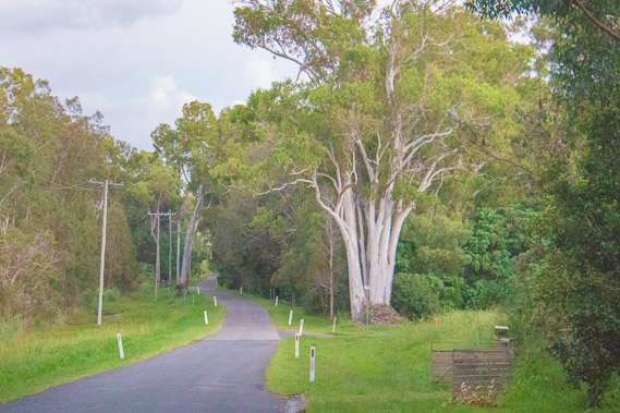 |
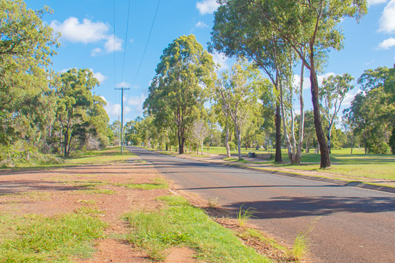
05:33 - Following the road around Macleay Island. There is no walking track as such, but a heritage trail has been marked on signposts around the entire island and I have downloaded a map tracking the trail. Today's trek is easy - I just need to follow the signs and the map. |
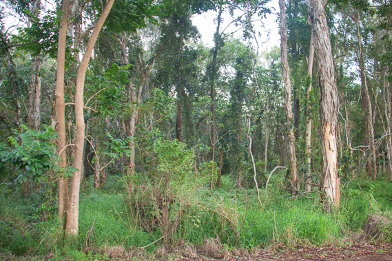 |
05:44 - The road around this part of the island passes through low wetland forest. I see a dead black snake on the road, indicating there are lots of snakes in the bush. |
 |
05:48 - The sun rises over the other side of the island. |
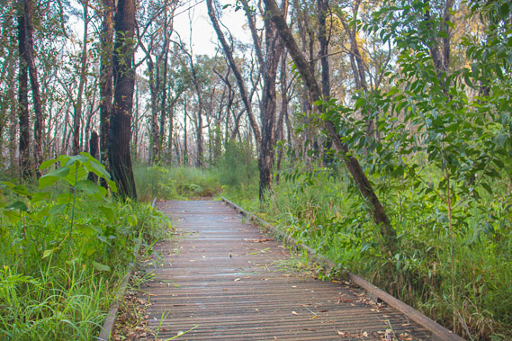 |
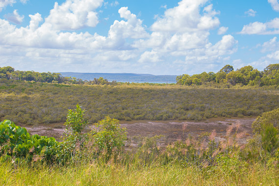
06:16 - The road ends, but the heritage trail continues along a board walk across the snake infested Tim Shea's Wetland Reserve. The mosquitoes are very bad here, but not as bad as they were on Russell Island. |
 |
06:38 - The boardwalk turns to road again and I follow it over a point at Campbell's Kanaka Wharf from where I look back over the water to Garden Island. |
 |
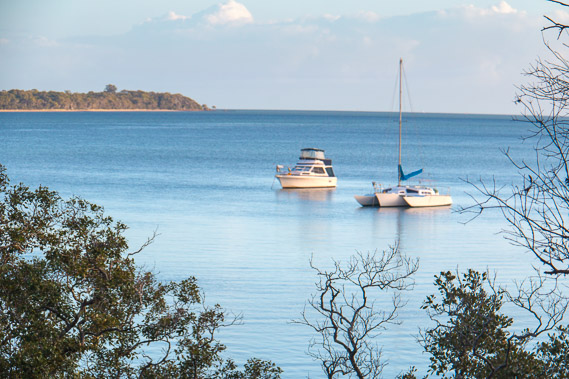
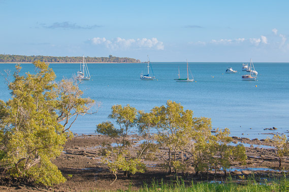
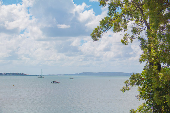
06:49 - Looking further up the coast where numerous boats are moored in the calm shallow waters of the bay. The long flat Peel Island is in the distance. |
 |
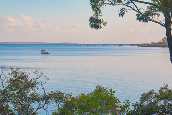
07:10 - A boat moored on the mud flats. Houses are in the bush, much of the island is inhabited with residences. |
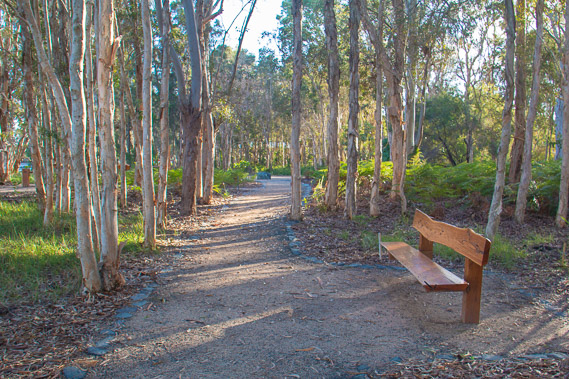 |
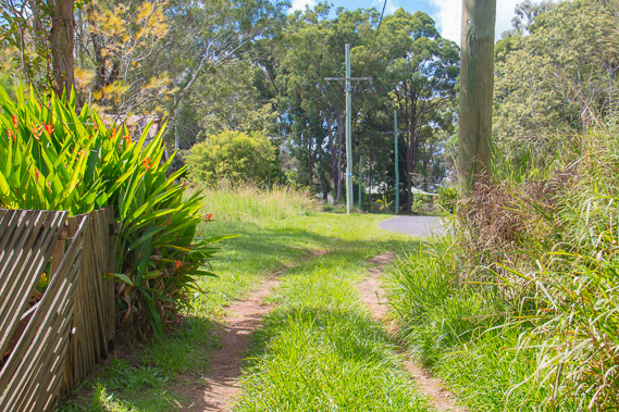
07:23 - A relatively new track with wooden benches to sit on, joining two more roads along the heritage trail. |
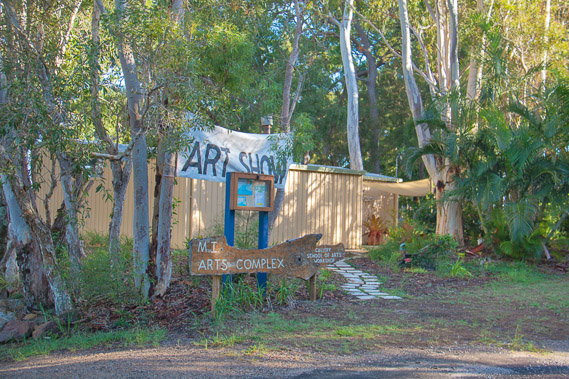 |
07:37 - The secluded nature of Macleay Island lends itself to all sorts of treasures showing up in random locations. Along one of the raods is an arts complex in the bush. It is still early morning so it isn't open yet. |
 |
08:22- Looking across the long bay I've been following for much of the morning. |
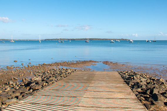 |
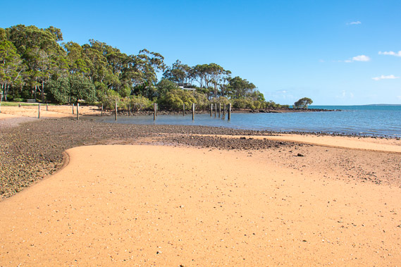
08:56 - A boat ramp at Dalpura Beach looking towards Coochiemudlo Island as I approach the northern end of Macleay. |
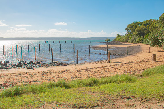 |
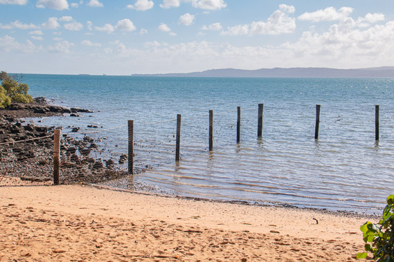
09:34 - Reaching a swimming enclosure at Pat's Park at the top end of the island. The enclosure is needed to keep the sharks out. |
 |
09:42 - Looking out from the beach to the northern end of North Stradbroke Island where Amity Point at the far end is where I will be ending this leg of the trek in a few days. |
 |
09:46 - Looking back along the beach to Macleay Island's northernmost point made from Jurassic sandstone. From here I'll be heading south and east to complete the circumnavigation of the island. |
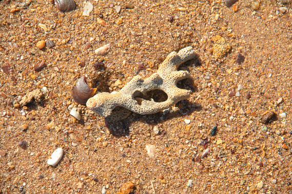 |
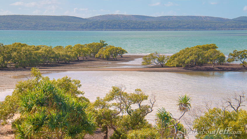
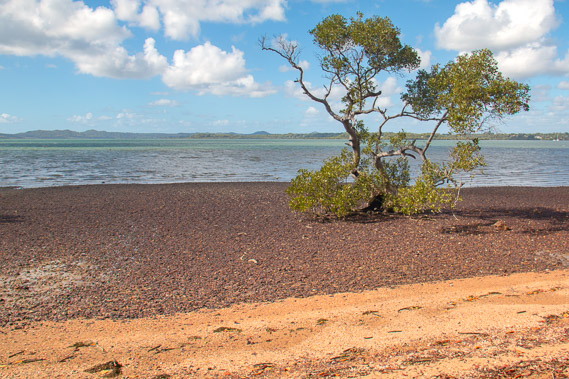
09:47 - Coral on the beach. There are a lot of coral reefs hidden beneath the surface of Moreton Bay. |
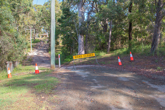 |
10:07 - Following the heritage trail through a broken and closed section of road around Cow Bay as I start heading down the east coast. |
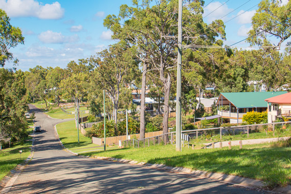 |
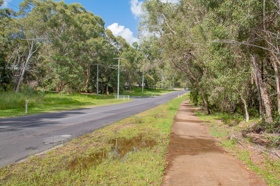
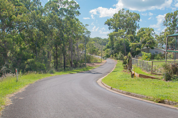
10:11 - The heritage trail follows the road through a residential area. The only shops on this island are near the jetty some ten kilometres away. People living here do need a car on this island, but due to the cost of having two cars, most people living here would use public transport around Brisbane. I notice this island does have a limited bus service. |
 |
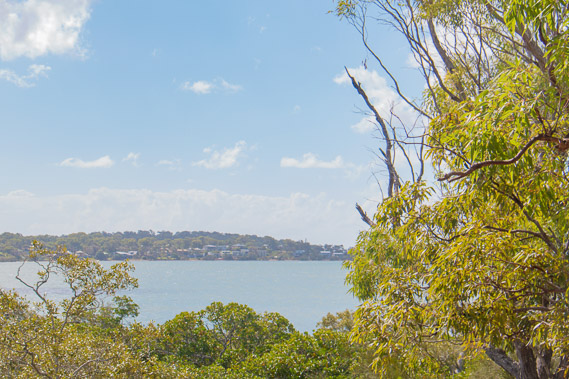
10:27 - View from a hill across to North Stradbroke Island along where I'll be walking the day after tomorrow. |
 |
10:31 - The track drops to the beach over ochre rock overlooking the pristine water of the bay. |
 |
11:17 - Tracking back along the main road heading up the centre of the island between the jetty and Pat's Park to bypass a large area of bushland with no tracks through it. The island was once completely covered in forest, but a timber industry set up here cleared most of the forest. |
 |
12:36 - The heritage trail follows some rough tracks back towards the east coast. |
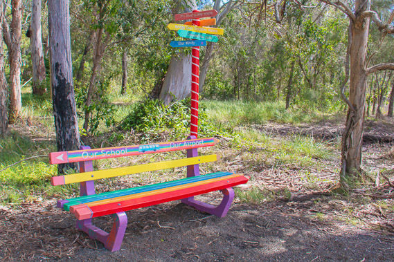 |
12:40 - A colourful seat near a small beach. |
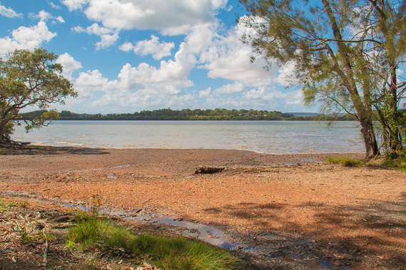 |
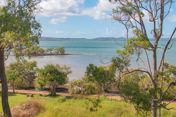
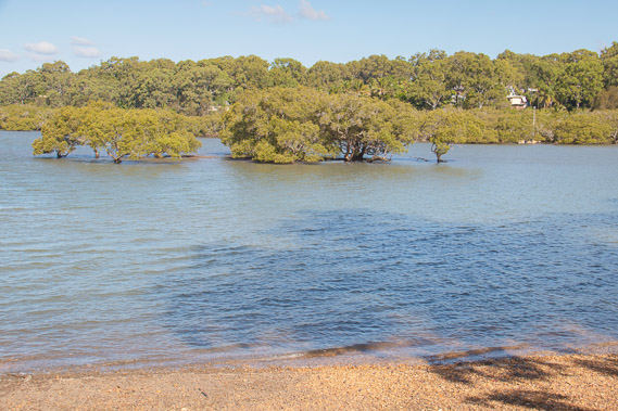
12:45 - The beach looking across an estuary to Perulpa Island. |
 |
13:17 - Looking from near the back of Perulpa Bay to the top of the island to the left and North Stradbroke to Amity Point on the right. |
 |
13:33 - Following the road around the wetland at the back of Perupla Bay. |
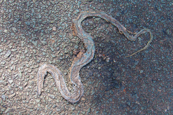 |
13:56 - Another dead snake on the road, near the golf course. |
 |
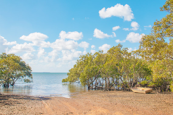
14:19 - Following the road towards Perulpa Island. The road follows a raised causeway through the mangroves to Perulpa Island. The tide is going out and the crossing would be dry even if the causeway wasn't here. |
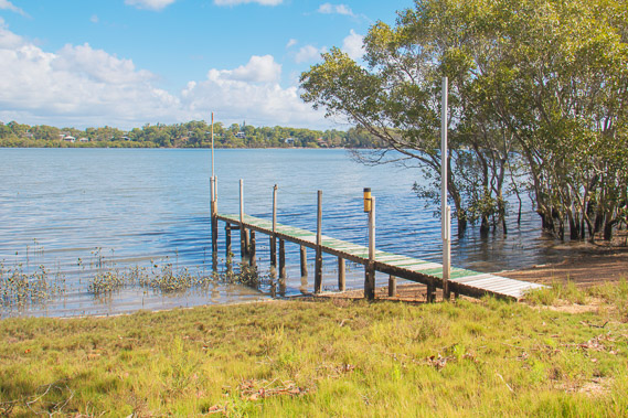 |
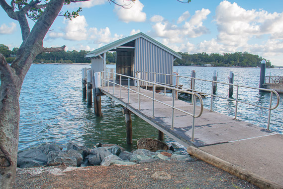
14:48 - Small jetty and rain gauge at Perulpa Island looking across the bay back to Macleay Island. |
 |
14:54 - At the end of the track near the northernmost point of Perulpa Island looking back to the northern end of Macleay Island. An Aboriginal burial ground is hidden nearby probably at the bottom of the cliff. From here I backtrack along the island towards the Macleay Island jetty. |
 |
15:16 - A small beach back on Macleay Island just after the causeway. |
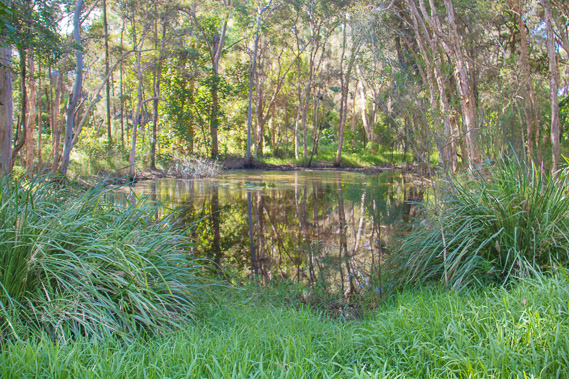 |
15:37 - A small lake in the Cotton Tree Bushcare Site along the eastern shore of Macleay Island. |
 |
15:40 - Reaching another small beach at Corroboree Park where I look across the channel to Lamb Island. |
 |
15:55 - Following the road back past the golf course before heading over a hill back to the jetty. |
 |
16:39 - After climbing over the hill and passing a couple of small corner stores (the only shops on the island), I reach the jetty. |
 |
16:46 - The sun is getting low to the west, but I won't get a good sunset from here, so decide to head over to Lamb Island for the sunset. |
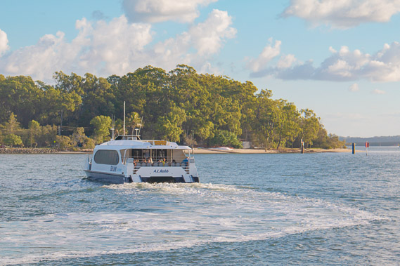 |
16:49 - A water taxi heading across to Lamb Island. I'll catch the next one as they are very frequent going from Redland Bay Marina to Karragarra, Macleay, Lamb and Russell Islands. |
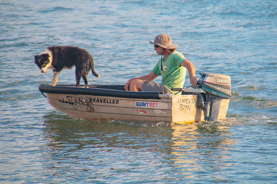 |
16:51 - A local and his dog moments before the dog tries to jump onto the jetty and falls in. |
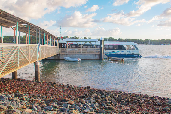 |
17:03 - The boat arrives. Travel between the islands is free of charge - you are only charged if going to or from the mainland. Anyone living on the islands who is fully self sufficient with the couple of shops on Macleay and Russell Islands gets free travel. |
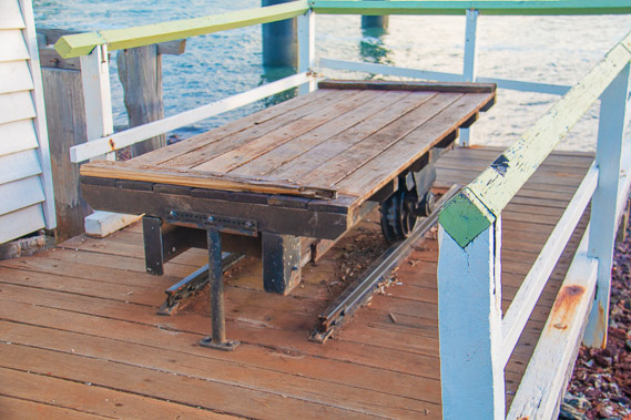 |
17:20 - An old railway wagon at the jetty on Lamb Island. |
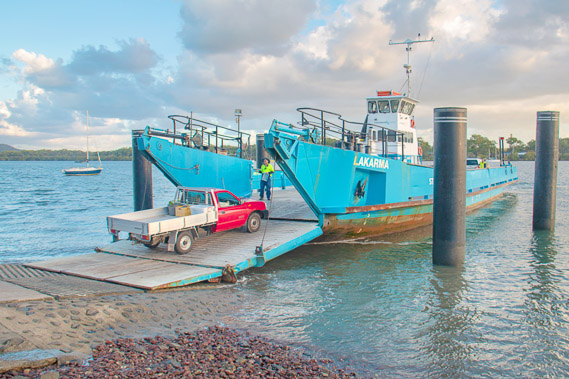 |
17:22 - A ute goes onto the ferry at Lamb Island. |
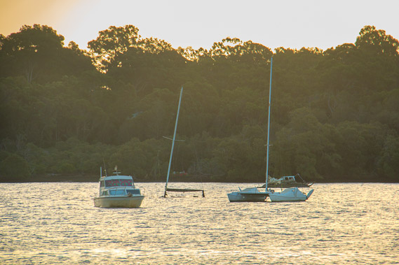 |
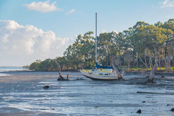
17:23 - A sunken yacht looking back towards Macleay. |
 |
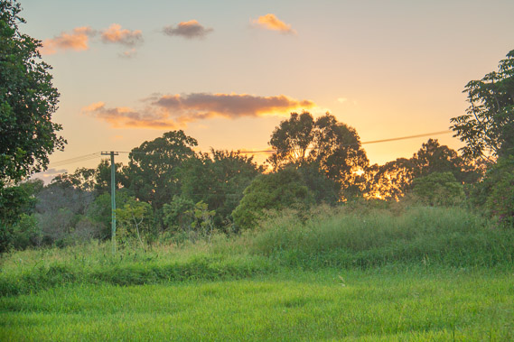
17:25 - The sun setting over Macleay Island. |
 |
17:29 - The entrance to Lamb Island. One main road runs up its short length with a few very short side streets heading to houses in amongst the trees. |
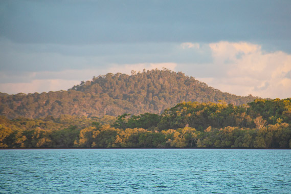 |
17:46 - Zoomed into Russell Island, where I'll be exploring again tomorrow along its northern coast. |
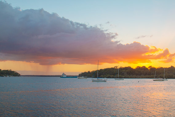 |
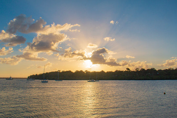
17:55 - Rain falls in the gap between Macleay and Karragarra Islands as the sun sets. |
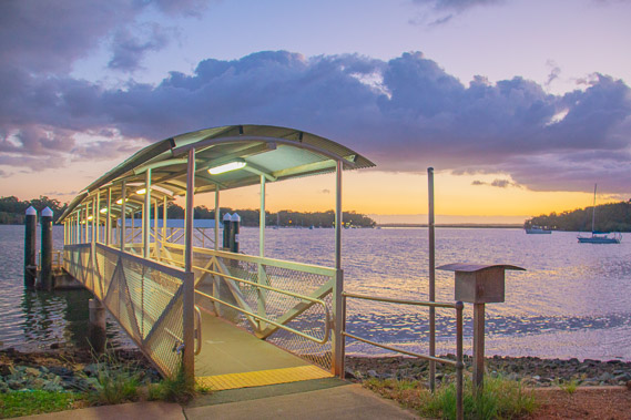 |
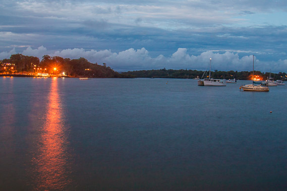
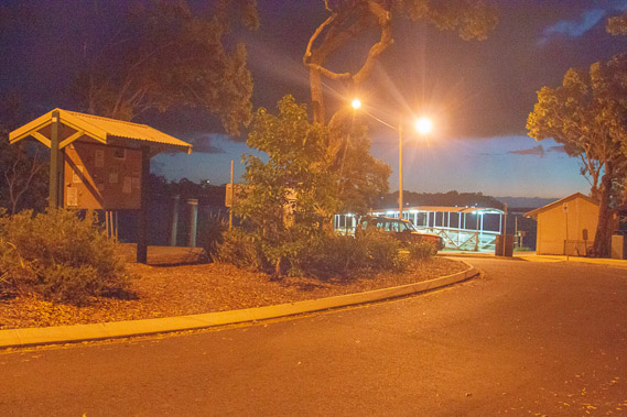
18:16 - The illuminated wharf just after sunset. |
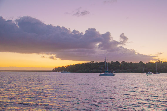 |
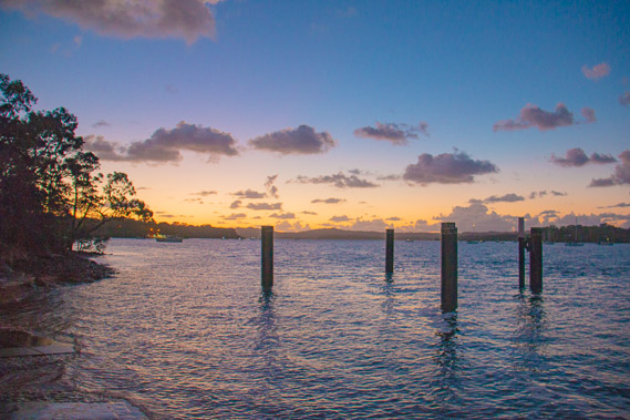
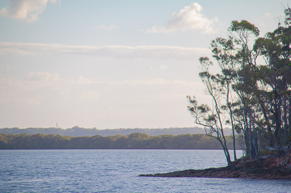
18:19 - Last light over the southern tip of Macleay Island. |
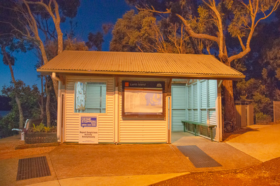 |
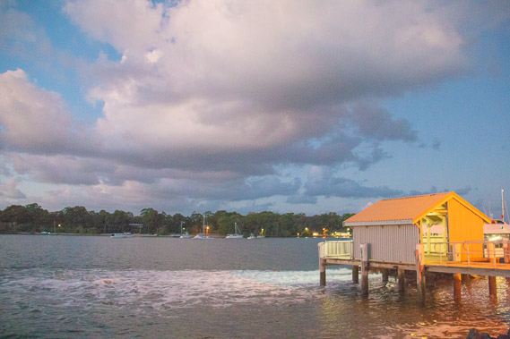
18:35 - The Lamb Island ferry shelter - very small. |
 |
18:36 - Last look at the jetty as I head along the main road. It is already very quiet here. |
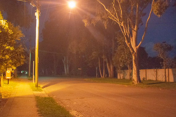 |
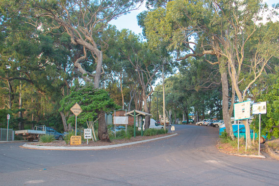
18:38 - It is a very quiet road with all old houses with only one small shop (actually a house) and one emergency services shed. Anyone living here would have to catch the boat over to Macleay to do their shopping. I follow the road to where I'm staying in the middle of the island. |
|