This week in South East Queensland
25 - 31 March
SOME islands in Moreton Bay have been inhabited with forests cleared and houses and roads replacing them. Other islands are completely uninhabited, and some, whilst the contain small pockets of suburbia, are in the most part vast wildernesses of rolling sandhills of eucalypt forest separated from the calm waters of the bay with equally impressive forests of ancient mangroves.
Today's hike takes me back across Lamb Island, and across to Russell Island, where I walk along its northern coast. From there I cross over to the uninhabited and seldom explored central coastline of North Stradbroke Island before reaching a camping ground on a small sandy peninsula.
Today's Journey
Distance hiked today: 15.1km
Total distance hiked to date: 859.1km
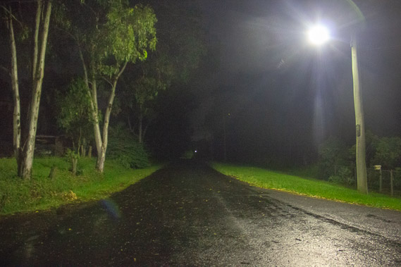 |
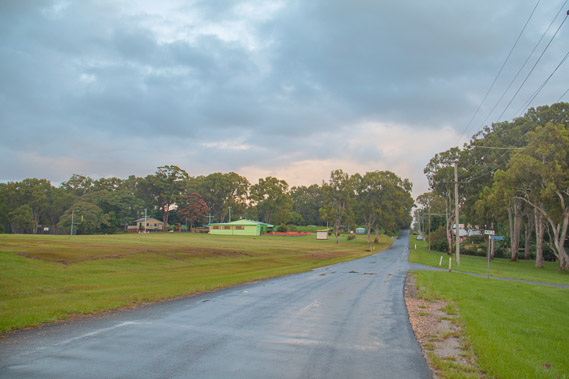
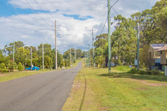
05:02 - I set off before first light towards the end of the island along the main road, passing isolated houses. Rain falls from a squally south easterly. |
 |
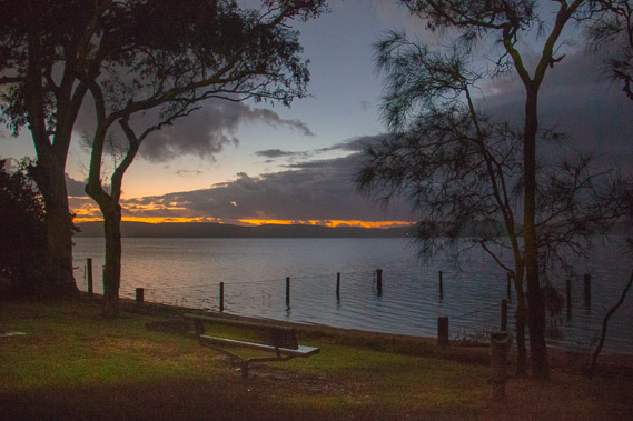
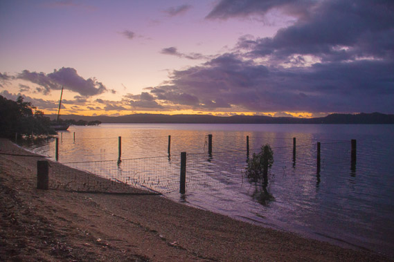
05:26 - At the far end of the road looking back towards the jetty as the sky just starts to get light. There are no views past the houses behind me so I need to quickly return a few hundred metres to the island's only park to catch the sunrise. |
 |
05:32 - The first light of dawn breaks as I reach the park. The clouds have started clearing but more rain is imminent. |
 |
05:42 - A shark enclosure provides a safe swimming area in this otherwise abandoned park and playground. |
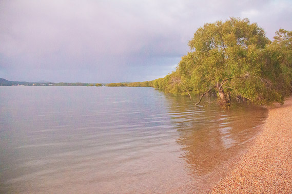 |
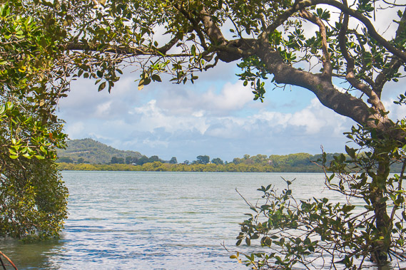
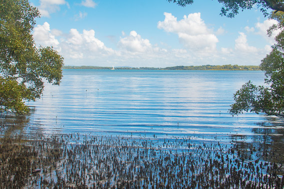
05:44 - Looking westward along the mangrove shore. This is the only beach on the island - otherwise the entire shore of this tiny island is all mangroves with houses above them. This is not the island for views, but I'll make the most of this sunrise before heading back to the jetty. |
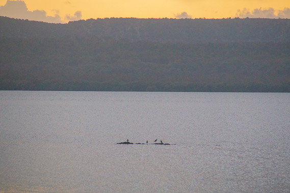 |
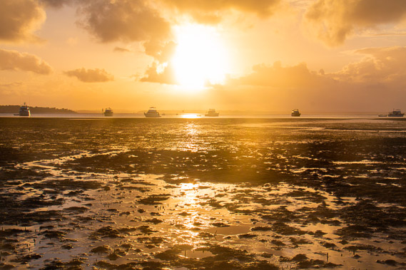
05:52 - Zoomed into North Stradbroke Island along a part of the coast I hope to be walking along this afternoon. A tiny mud outcrop has four birds sitting on it looking for fish in the surrounding water. The sun is just rising over the horizon directly ahead behind the island. |
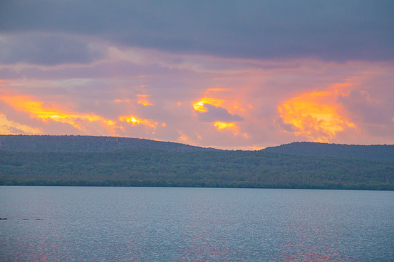 |
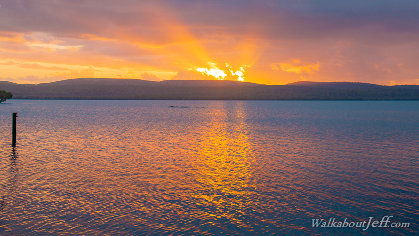
06:07 - The sky seems to catch on fire above the forested dunes of North Stradbroke Island. |
 |
06:30 - After sunrise the clouds quickly close in, so I follow the road back to the jetty. |
 |
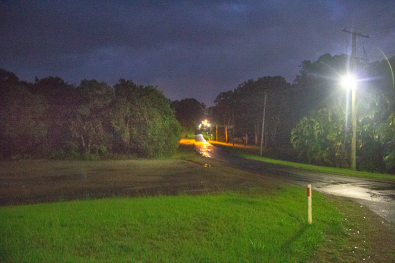
06:42 - Humid rain falls as I head through the leafy suburb of Lamb Island. It is very quiet here with old wooden houses hidden in the trees and I only see one tiny shop in one of the houses. |
 |
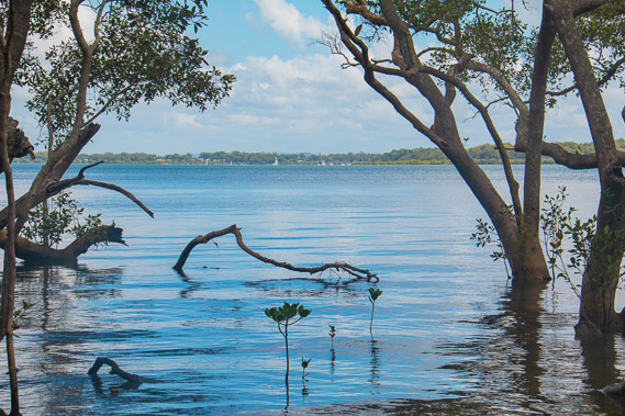
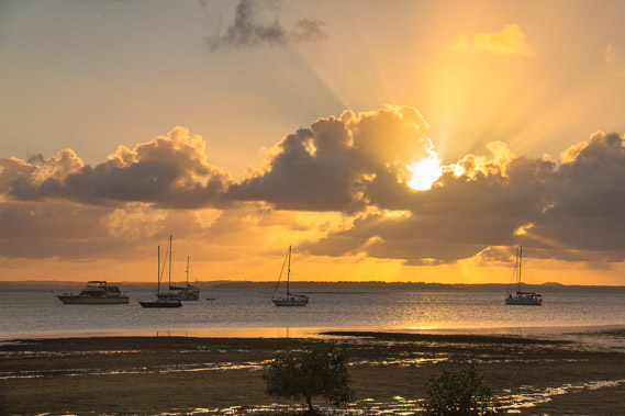
07:02 - Back on the jetty looking over to Russell Island and the hills of North Stradbroke in the distance. From here I need to catch the boat back across to Russell Island. The rain has stopped falling and the clouds are quickly clearing. |
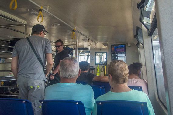 |
07:21 - On board the boat. Once more it is a free trip as I'm only travelling between the islands. |
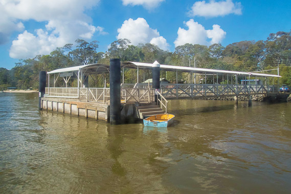 |
07:31 - Reaching the Russell Island jetty where plenty of blue sky is already showing through the clouds moving from the south east. |
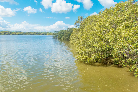 |
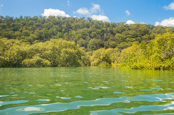
07:38 - View of the mangroves along the coast viewed from the jetty. I'll be hiking along the north coast towards the yacht club, but with this many mangroves, there won't be many views, but lots of mosquitoes as I had found when walking up the length of this island the other day. |
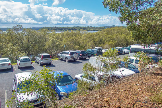 |
07:46 - Passing the car park beside the jetty as I head to the main road heading across the north coast of the island. Some of the houses are up to nine kilometres away, requiring a car for those who commute into Brisbane. |
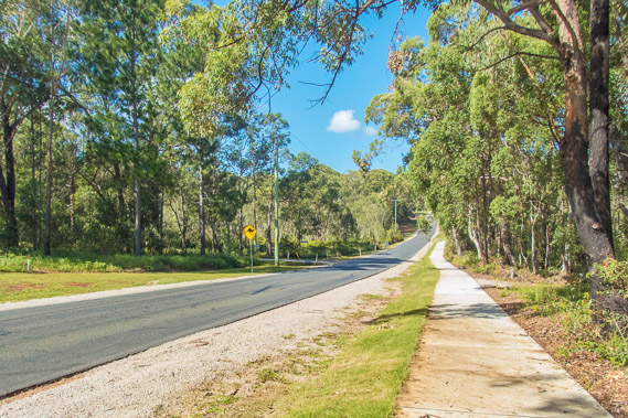 |
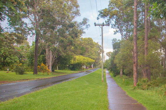
08:08 - A good footpath runs along the side of Canaipa Road following the northern coast. I walk quickly to avoid the mosquitoes. Apparently there are kangaroos here, but I don't see any as they only come out at dawn and dusk. The road sign is necessary as they are large animals and cause a lot of damage if you drive into them at speed. |
 |
08:21 - As I approach the eastern end of the island, the road narrows with houses lining either side of it. |
 |
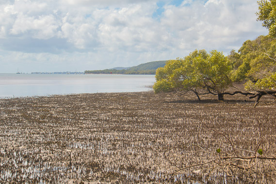
08:33 - First view looking north towards the part of North Stradbroke Island where I'll be hiking soon. The coast on both sides is covered in mangroves and I see a small private boardwalk to the end of the mangroves where some of the local residents can moor a boat. |
 |
08:38 - Another view across a section looking southward down the length of Russell Island. Numerous houses are visible along its length. I can't see to as far as the lion's park camping ground where I stayed three nights ago, but it would be around the left hand edge of this image. |
 |
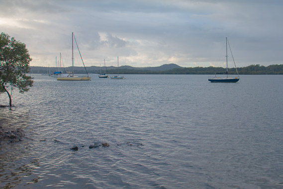
08:39 - Russell Island Yacht Club at the end of Canaipa Point with North Stradbroke Island just offshore. |
 |
09:30 - I catch a dinghy across to North Stradbroke Island, heading northward to a break in the mangroves where I can get off. Russell Island had been easy to navigate walking along its roads, but there are no roads here for about thirty kilometres along the coast to Dunwich. |
 |
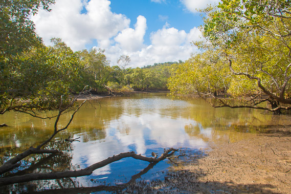
09:43 - Reaching Little Canalpin Creek a short way up the coast. We decide to head in here to look for a landing point. The tide is right in now, so the mangroves are flooded. |
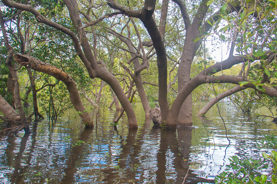 |
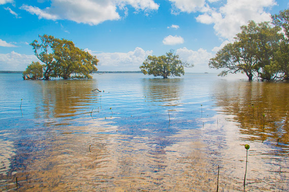
09:52 - I beach on a small clear shore near these enormous grey mangroves. |
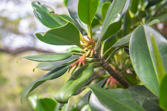 |
10:33 - Capturing a close-up of a mangrove whilst waiting for the tide to go out a little. I see a large tiger shark exploring the shallows of the creek, but don't pull the camera out fast enough to capture it. |
 |
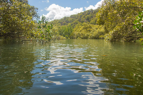
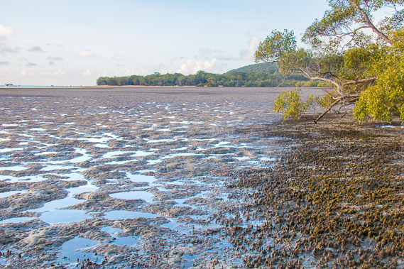
11:15 - The tide has started going out, so I start heading along the edge of the water on the boggy mangrove mudflats along the coast towards Dunwich. View through the mangroves back to Russell Island. |
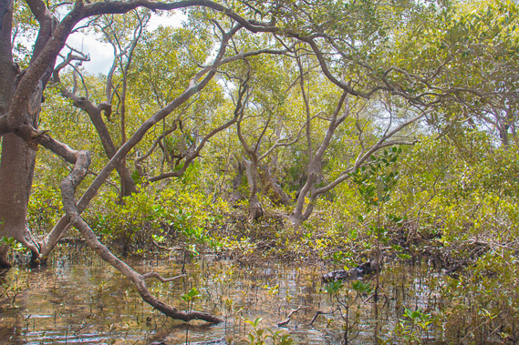 |
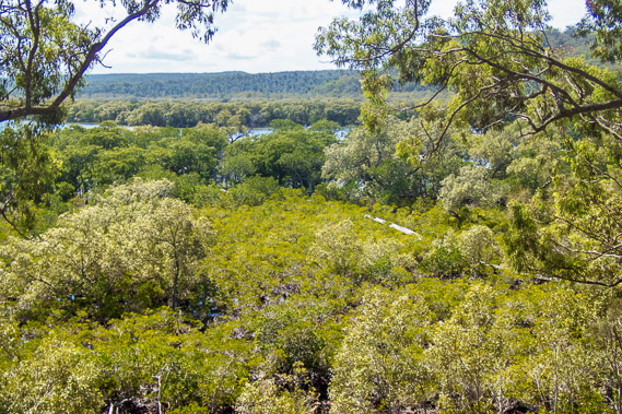
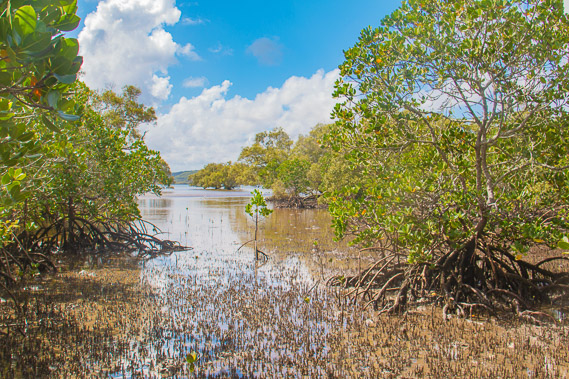
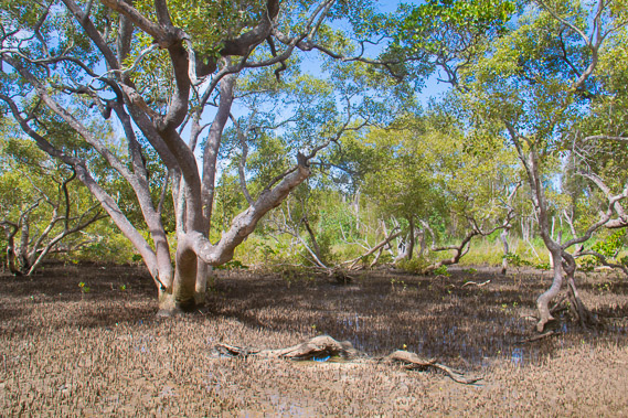
11:33 - The ancient forest of mangroves is impressive along this seldom trodden coastline. I follow the water line to stay on track. |
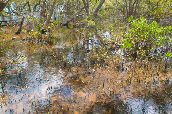 |
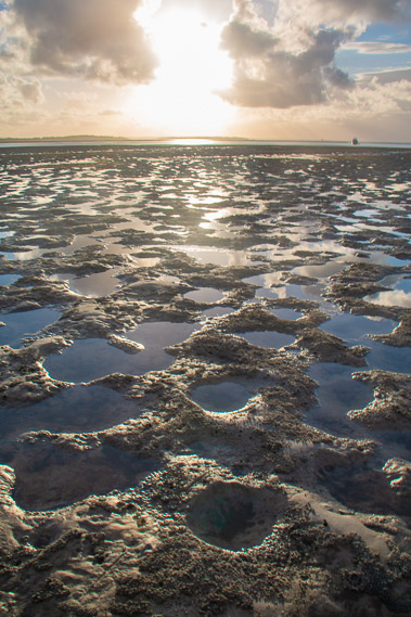
11:41 - The water remaining in the puddles from the dropping tide is clear. Progress is slow but it will speed up when the tide drops to beyond the mangrove trees. |
 |
11:59 - It is not long before the tide has dropped to below the level of the tangled roots of the orange mangroves, allowing faster progress through the easier to pass grey mangrove forest. |
 |
12:18 - Another view back to Russell Island and Lamb Island mangroves to the right. I'm making good progress. |
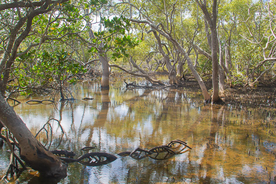 |
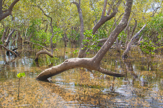
12:32 - The strange roots of more orange mangroves slowing progress down again. |
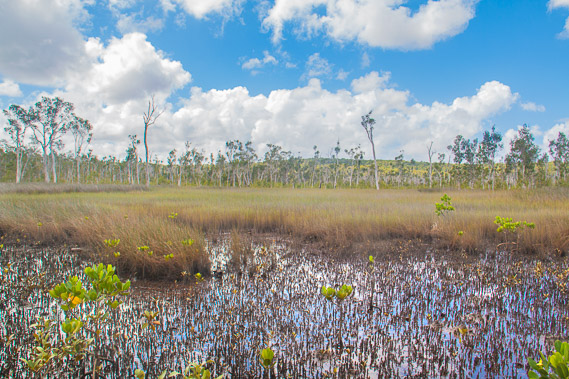 |
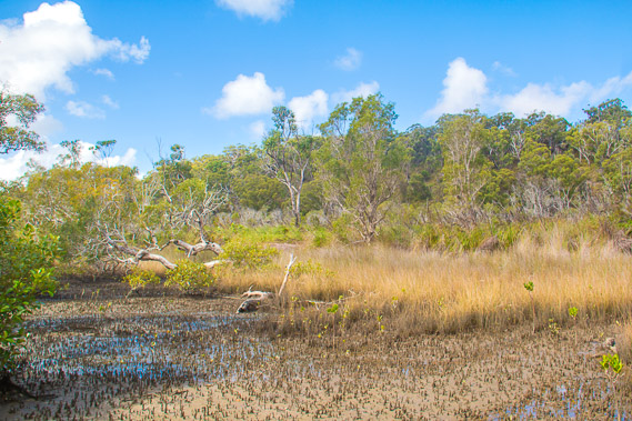
12:40 - Heading a hundred metres up beside a small unnamed flooded creek, I reach a large wetland of reeds. The rolling sandhills of North Stradbroke Island is quite some distance inland on the other side of the swamp. The creek is almost non-existent here so I'll continue following the mangroves just above the tide line. |
 |
12:46 - Heading downstream from the mangroves the stream is wide and probably deep. I continue downstream until reaching the main coast again. |
 |
13:04 - Another view of Lamb and Russell Islands from near the end of a rounded unnamed point. |
 |
13:12 - Rounding the point reaching a shallow flooded mud flat with trees growing quite some distance offshore. Macleay Island is visible in the distance to the left. |
 |
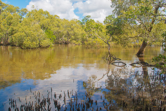
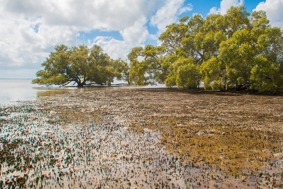
13:15 - The mangrove forest has opened out allowing easy access now, and once more the clouds are clearing. |
 |
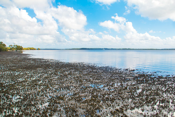
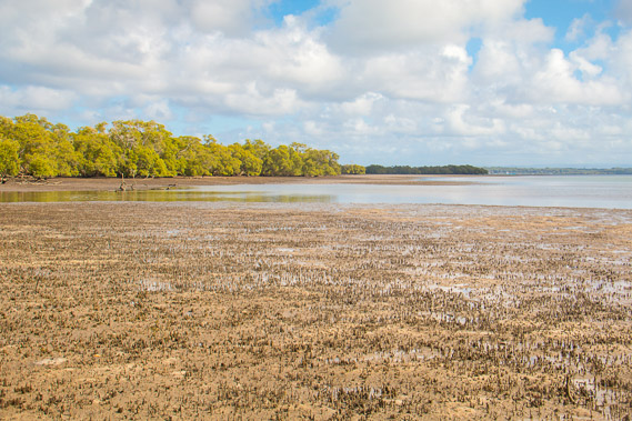
13:40 - The tide is now out past most of the mangroves, but I find the ground in this area quite boggy from mud deposited from the Logan River on the other side of the bay, so need to stick close to the mangroves. |
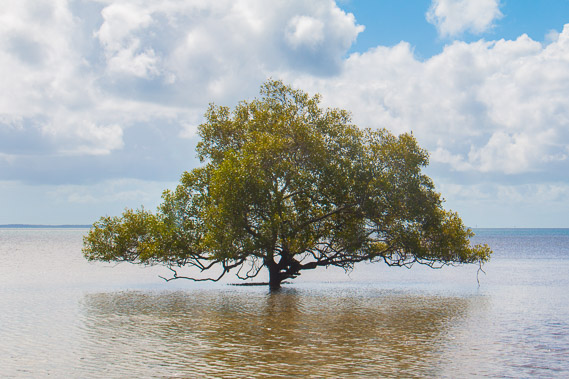 |
13:43 - Solitary tree out in the water, untouched and in pristine condition. This is a rare sight no doubt. |
 |
13:45 - I am now fully around the point with a clear view out to Dunwich in the far distance to the left some fifteen kilometres away. There is a small sandy peninsula on this side of Dunwich at the forested point I can now see. I'm aiming to reach this point for tonight. Fortunately I am making good time with the slowest part of today's trek behind me. |
 |
13:56 - The thinning mangrove forest looks great under the early autumn sunlight. |
 |
14:17 - Looking back to the point and across to Russell Island, now quite distant. |
 |
14:31 - Treading a seldom trodden coastline past an exposed area of reeds with a small forested sandhill behind it. |
 |
14:45 - Reaching Canaplin Creek. It is quite boggy here and the tide isn't out enough yet. Fortunately the water is only knee deep and with my walking pole for balance, the crossing is easy enough - and thankfully no sharks here. |
 |
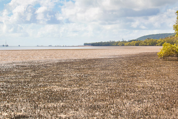
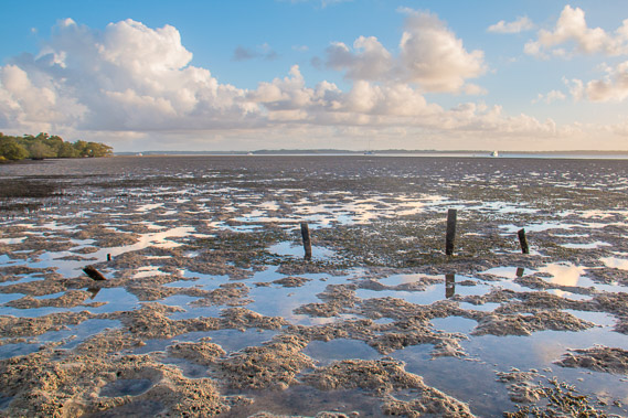
15:31 - On the other side of Canalpin Creek. I stay close to the mangroves where the ground is solid. Deposits from the rivers flowing into the other side of the bay is rapidly increasing the levels of mud in the bay. The forests once covering the Brisbane areas have long been cleared causing a lot of silt to flush into the bay at far higher rates now than before European settlement. |
 |
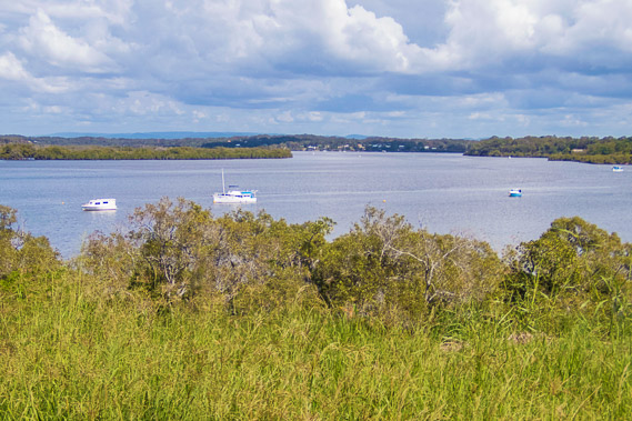
15:42 - The little sand peninsula is getting quite close now and the tide has gone a long way out. I notice quite a few boats are moored off the peninsula. The peninsula doesn't have a name and it isn't marked as an anchorage on any maps, but obviously quite a few local boaties know about it. |
 |
16:53 - The boggy ground starts having lots of little pools left by large mud crabs burrowing into the ground after the end of each tide. |
 |
16:59 - The sun is getting low over the crab pools and mud flats. The tide is a long way out now. |
 |
17:05 - The remains of a wrecked boat stuck in the mud flat near the back of the bay before I reach the peninsula. |
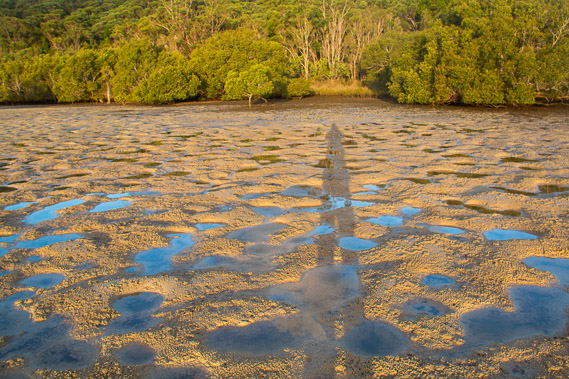 |
17:14 - The sun is low and my shadow is long. The sand is fairly firm now meaning I can move away from the mangroves to cut towards the peninsula. |
 |
17:17 - The brilliant sun gets lower as I cross a tiny stream to reach the start of the small sand peninsula. |
 |
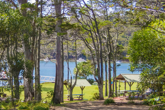
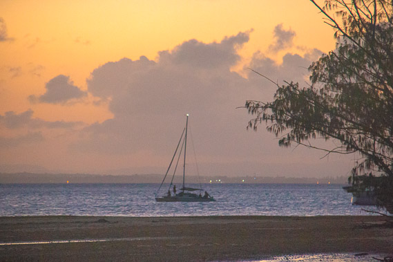
17:23 - Relieved to be reaching the hard sand of the peninsula as the sun goes behind a cloud. This is an oasis in this otherwise remote stretch of coast. A surprising number of boats are moored here and quite a few tents have been set up in the bush on the peninsula. |
 |
17:33 - Exploring the end of the peninsula when I have set up my camp. |
 |
17:47 - Large clouds are rolling in over Macleay Island as the sun sets. |
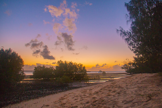 |
18:23 - View from my camp at the southern side of the peninsula at last light. There are mosquitoes here, but they have not been as bad as they had been on the inhabited Russell Island. They only congregate in places where there are people to bite. |
 |
18:24 - The lights come on at the top of Macleay Island as the sky darkens. |
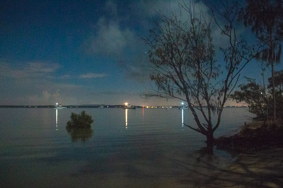 |
19:53 - Dusk ends but the full moon rises as the tide silently creeps back in over the course of the evening. |
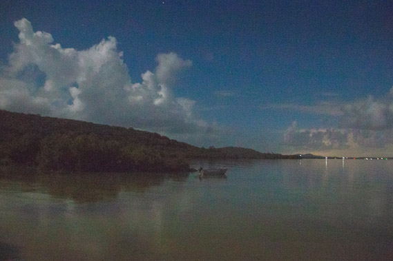 |
19:54 - Looking back up the coast with the mud flats now flooded again. |
|