This week in South East Queensland
1 - 7 April
THE STORM season officially ends this week, although with the climate change, storms can still hit in April and even into May, but these are increasingly rare. There is still a fair bit of rain falling and will continue to do so until the May/June westerlies hit bringing on the short winter. The nights are beginning to get cooler ending the long summer and the days are getting shorter, though this change has been very difficult to notice. This week also marks April Fools day, and there are plenty of pranks pulled in the morning of the first of April each year.
Today's hike takes me from the small sandy peninsula slowly progressing through the mangroves in more difficult conditions than yesterday, following the coast as far as I can before the tide comes in confining me to the tangles of mangroves. I eventually reach Dunwich not long before a surprise thunderstorm hits. I seek shelter in the town's shops before setting up camp at the local camping ground.
Today's Journey
Distance hiked today: 12.5km
Total distance hiked to date: 871.6km
 |
04:33 - Clouds pass overhead before first light. The tide is out and I decide to start early to make as much progress towards Dunwich as possible before the tide comes in. |
 |
05:07 - The clouds continue to build behind me as I head around the front of the peninsula, once a sandhill of pure silica sand now almost completely eroded into the bay. |
 |
05:08 - Some of the campsites set up by the boaties on this remote stretch of coast. |
 |
05:15 - I reach the end of the sandy peninsula and follow close to the mangroves as the mud flats are quite boggy. The moon is now sinking quite low in the sky. |
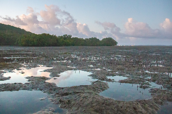 |
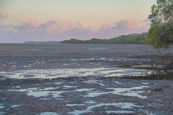
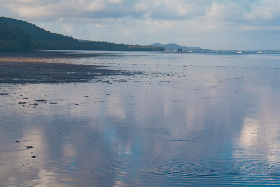
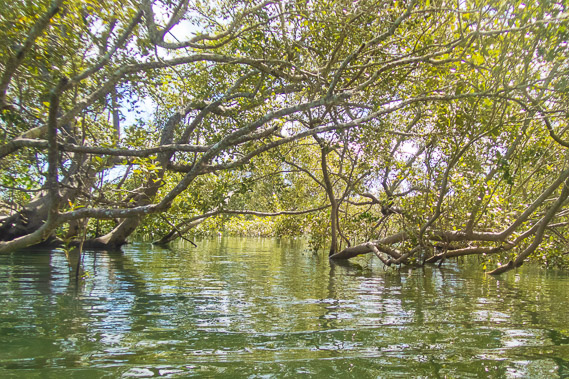
05:25 - The crab pools as the dawn sky lightens. In the most part the sand is firm enough if I walk on the edges of these pools, but in other parts I have to stay close to the mangroves to prevent getting bogged. |
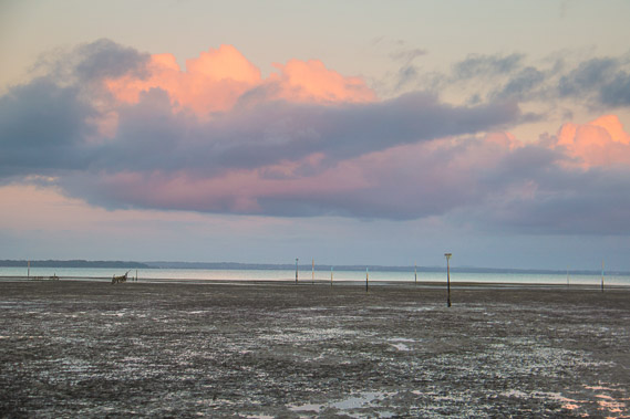 |
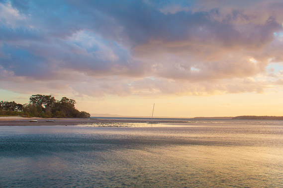
05:52 - The sun is soon to rise on the other side of the island with the clouds already a fiery orange color. |
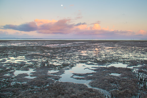 |
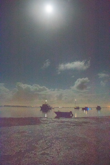
05:55 - The moon hovering over the bay as the sun rises on the other side of the island behind me. |
 |
05:59 - It is now light enough to see Dunwich. It doesn't seem far away, but progress will be slow and I'm not expecting to reach the town until this afternoon. |
 |
06:00 - The sun rising over the sand hills as I slowly navigate the boggy mangroves. |
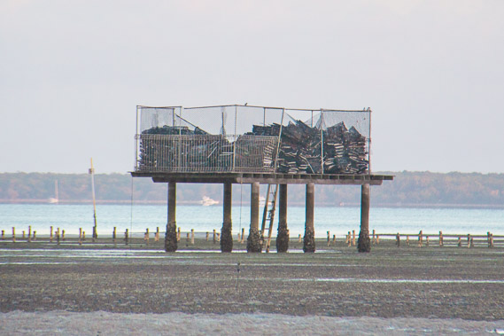 |
06:01 - A storage platform above the level of the high tides. Coochiemudlo Island is in the distance across the bay. |
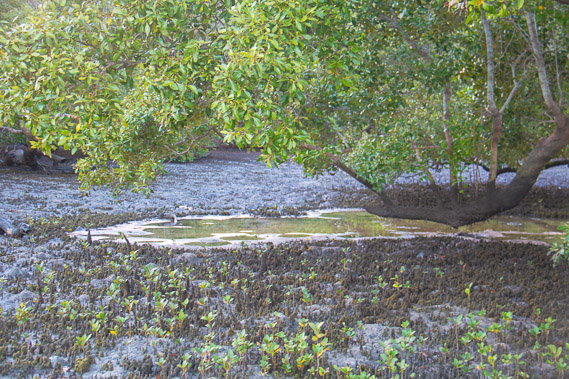 |
06:14 - Young mangroves freely springing up out of the mud in this remote and almost untouched location. |
 |
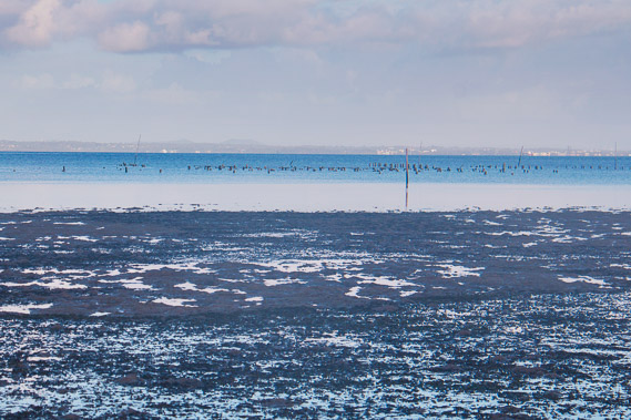
06:30 - Some fishing traps out on the mudflats. They are checked at high tide with their catches pulled onto small boats. |
 |
06:33 - Looking back in the distance with the progress I've already made today. The tide has turned so it's a race against time to continue advancing along the coast as much as possible before the water reaches the mangroves. |
 |
07:28 - Birds out in the shallows catching fish for breakfast. Most of the migratory birds have already taken off back to their breeding grounds in Alaska, Siberia and Mongolia, so these would be the permanent local birds. |
 |
07:34 - The clouds reflect in the quietly advancing tide as I round a small point. Dunwich is getting closer. |
 |
07:35 - The water is quickly drifting in, so I'll need to retreat to the mangroves soon. |
 |
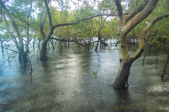
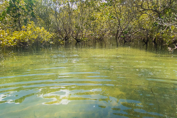
07:54 - Reaching the mangroves as the almost mirror smooth tide continues to quickly rise, soon to completely submerge the new plants. |
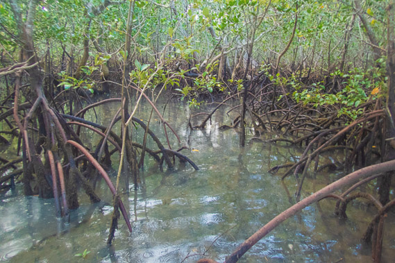 |
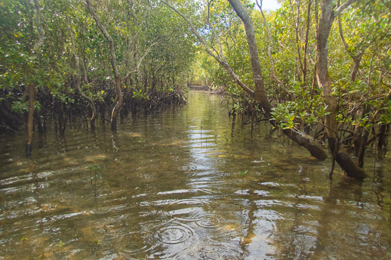
08:11 - It is quite an obstacle course natigating around the weird roots of the orange mangroves above the advancing water. I cross the first of several small tidal streams draining out of the island as rain suddenly starts falling. |
 |
08:12 - The rain falls heavily as I look out towards the water through the thick mangrove forest. |
 |
08:41 - The rain steadies off as I cross another tidal stream. There are no creeks flowing around this part of the island, but fresh water absorbs into the very porous sand and come out at the wetlands lining the edge of the mangroves. |
 |
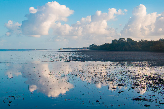
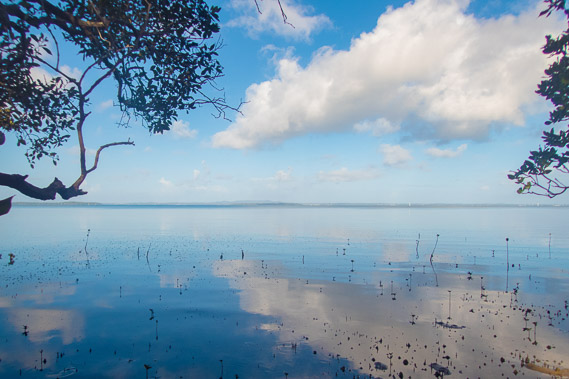
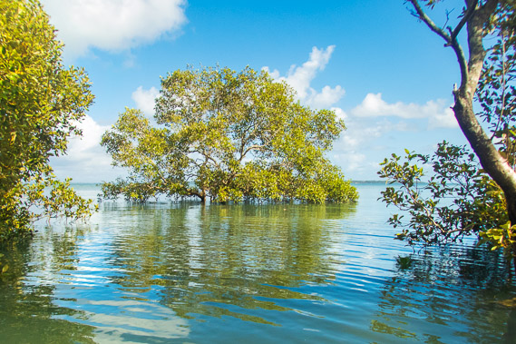
09:20 - The sun comes out as I look out towards the bay. The rain was short lived with the rainy season soon to come to an end. Small waves from the bay are filtering in through the forest of mangroves. |
 |
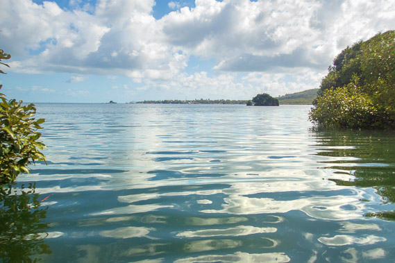
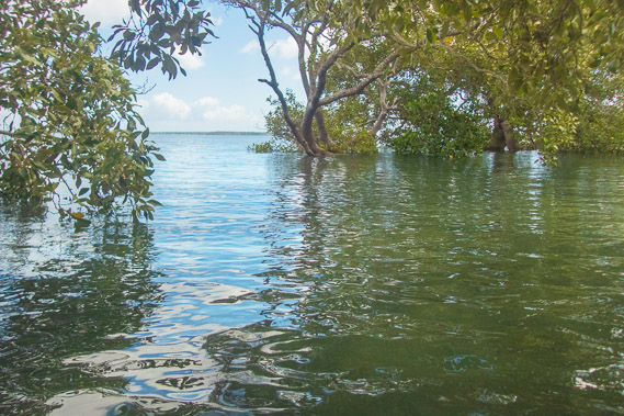
09:57 - Glimpse of the bay from the water's edge. |
 |
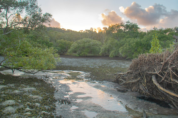
10:31 - A clear view at another stream looking towards Dunwich, still some distance away. Progress is quite slow navigating up and down the banks of the streams and clambering over the maze of orange mangrove roots at the top of the mangroves where it is still mostly dry. |
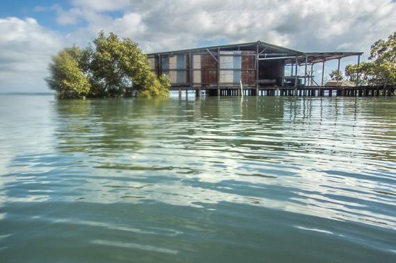 |
10:59 - Zoomed into a storage shed on stilts at the mouth of yet another stream. |
 |
11:47 - More mangroves from the water's edge at midday as the tide starts to go out. |
 |
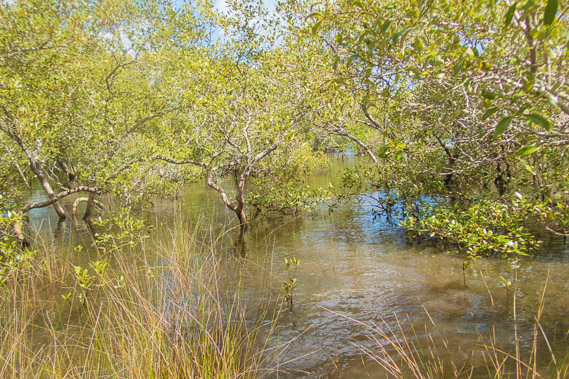
12:21 - At this point the tide has more than reached the reeds at the top of the mangroves, making for a bit of a soggy walk. |
 |
12:52 - There is no sign of the bay from here. Just reeds and mangroves. Fortunately I have a good sense of direction and continue heading due north. |
 |
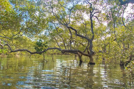
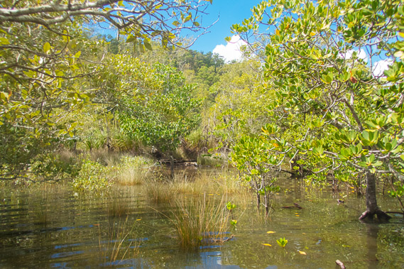
13:08 - A thick forest of grey mangroves with no way of telling if I'm getting closer to Dunwich. |
 |
13:24 - Another small creek I follow upstream to cross. |
 |
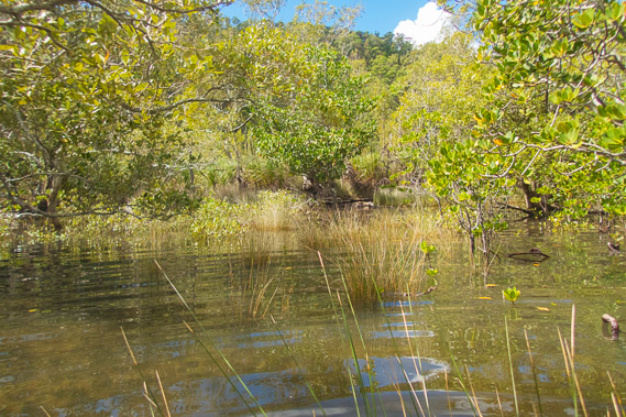
13:48 - More mangroves and more reeds. |
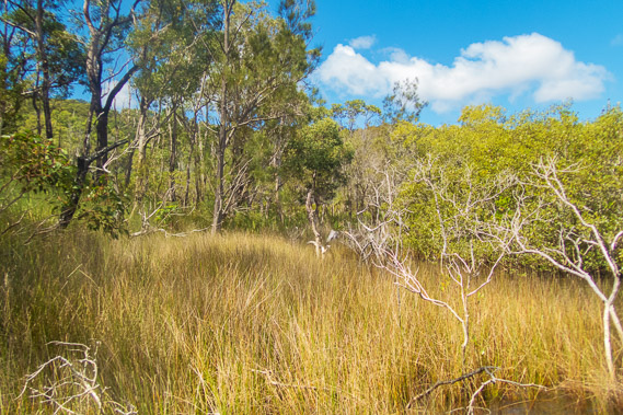 |
14:19 - Near the end of the mangroves where the reeds become more plentiful and the tide is continuing to fall. I now see eucalypt trees covering the island sand hills. |
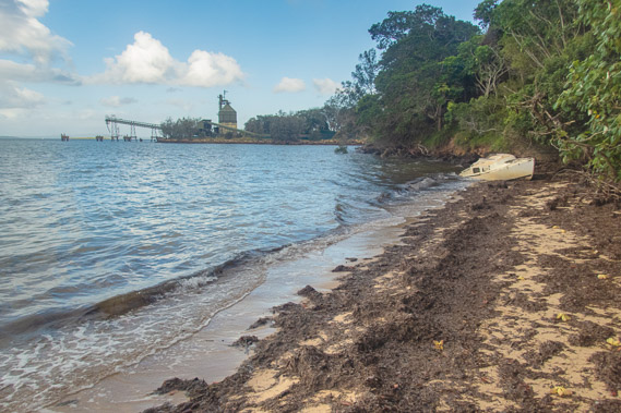 |
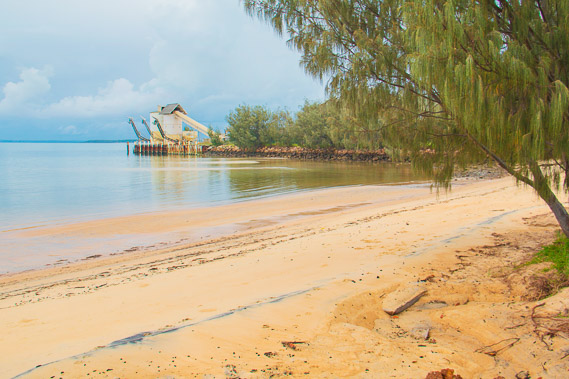
14:33 - I suddenly reach a small beach where a lot of dead sea grass has been washed up and left to dry by the falling tide. A large sand storage and processing facility at the end of the beach means Dunwich is very near. Thankfully I've almost made it as there are large storm clouds building behind me now. |
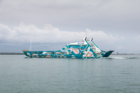 |
14:42 - I reach the end of the beach in time to see the car ferry leave Dunwich, the main port of North Stradbroke Island. This is quite some distance offshore from the mainland. In the absence of a bridge, this ferry is the only way to bring a vehicle across to the island. From here I head up above the beach to a street - the first road or track I've seen since leaving Russell Island yesterday. |
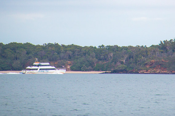 |
14:51 - Zoomed into a boat passing Peel Island, an old leper colony now fully protected with no access allowed. |
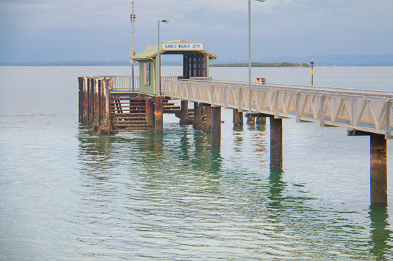 |
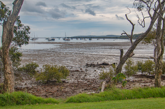
15:00 - At the main jetty at Dunwich viewed from the end of the ferry terminal. |
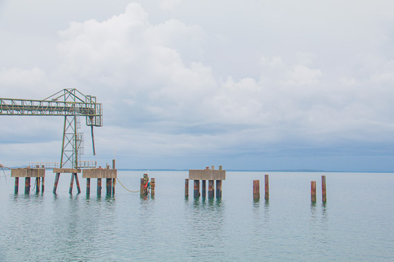 |
15:02 - A sand feeder for the sand mining to load onto barges. |
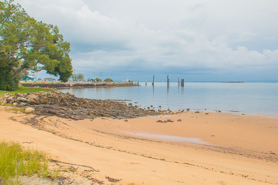 |
15:09 - The port viewed from the next beach. It has clouded over now and I can hear thunder in the distance. |
 |
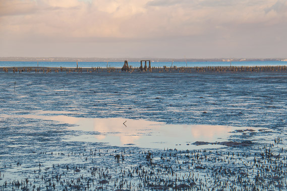
15:11 - Looking the other way I see another sand silo. Sand mining has been extensive on this island, leaving gaping wounds in the landscape when viewed from the plane flying across to New Zealand. The mining will be stopping to preserve the environment as much of the island is now national park. |
 |
15:26 - View from the top of a low cliff. |
 |
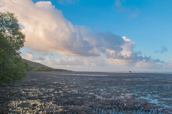
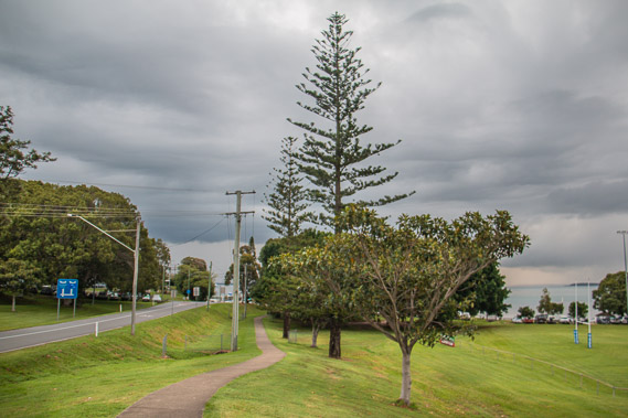
15:31 - First view of the long bay I will be hiking tomorrow to Amity Point just visible in the far distance to the left. The storm is close with the claps of thunder getting loud, so I need to track back up the hill to the shops to shelter from the storm before camping at the nearby camping ground. |
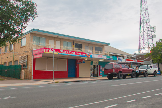 |
16:18 - The shops and a phone tower on the main road heading from the port to Amity Point and Point Lookout. I stop here to shelter from the storm. |
 |
16:24 - Looking from the shops down to the port where the dark clouds of the storm is approaching from. |
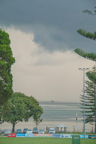 |
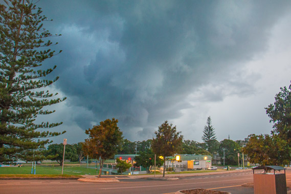
16:33 - Dark storm clouds quickly approach turning day almost into night. |
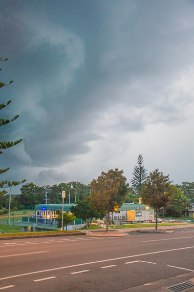 |
16:42 - The dramatic shelf cloud brings on the thunderstorm. |
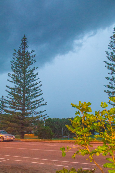
 |
16:45 - The cloud passes overhead with the thunder echoing across the sky, but fortunately not too many lightning strikes. |
 |
16:50 - Rain falls as I head inside the shops for dinner and to buy some more supplies. |
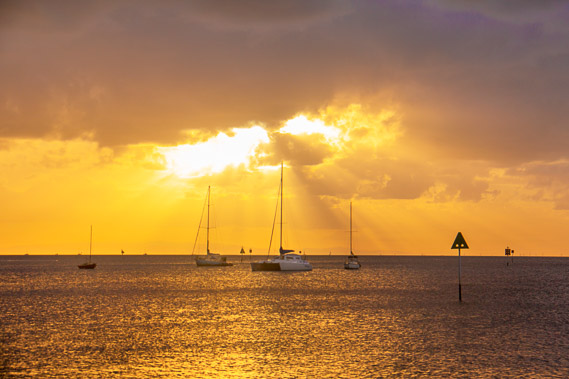 |
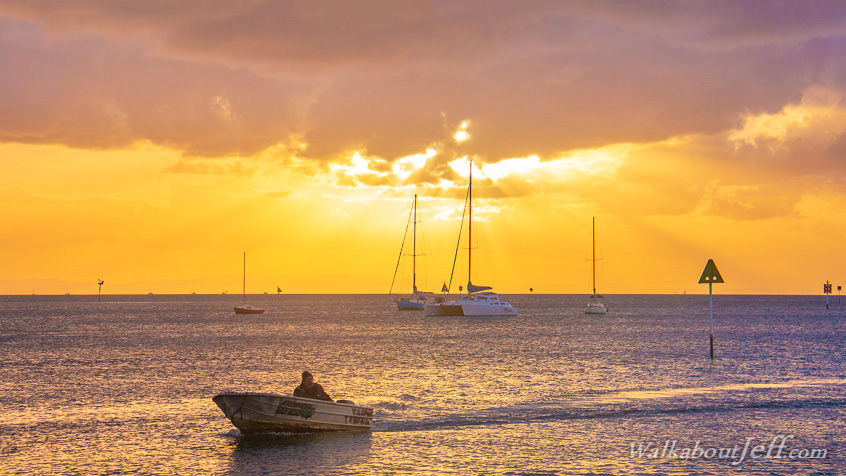
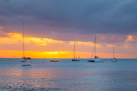
17:05 - When the storm clears I quickly head down to the camping ground, set up and go to a nearby jetty to watch the sun set. |
 |
17:06 - The following clouds still seem a bit menacing so I think there will be more storm activity coming. |
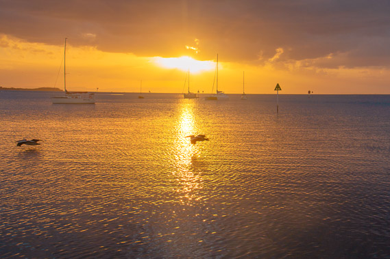 |
17:21 - Pelicans flying across the water heading home to roost for the night. |
 |
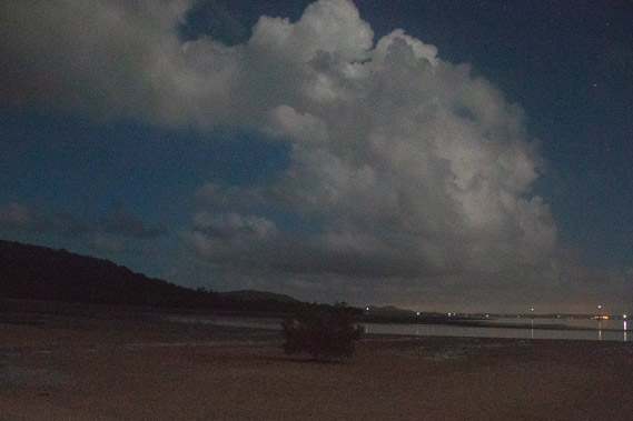
17:30 - The clouds close in so I head back to camp without seeing the sunset 20 minutes later. |
 |
18:58 - More heavy rain falls during the night. Fortunately the tent provides good shelter and there is no more thunder. |
|