This week in South East Queensland
8 - 14 April
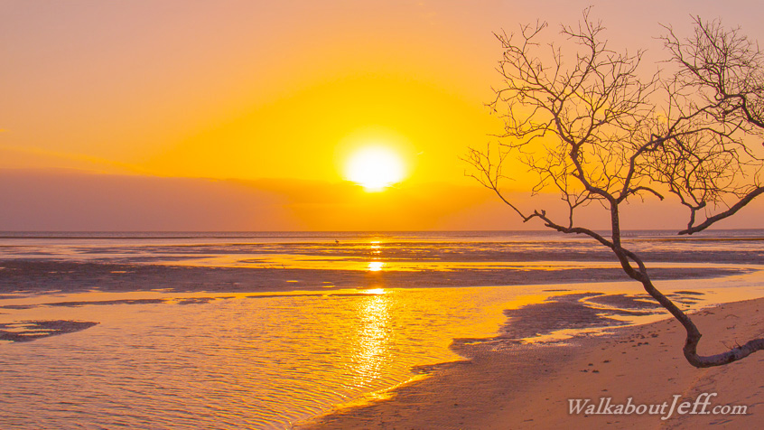
WITH THE summer rainy season officially finished and the daytime humidity quickly reducing, the air is becoming noticeably clearer bringing out the colours of the sea, sky and everything in between. The sunsets are amazing, with the long shadows of the late afternoon now bringing in some spectacular effects along the coast.
Today's hike takes me from Dunwich following the sand flats further northward up to Amity Point at the top of North Stradbroke Island.
Today's Journey
Distance hiked today: 12.0km
Total distance hiked to date: 865.0km
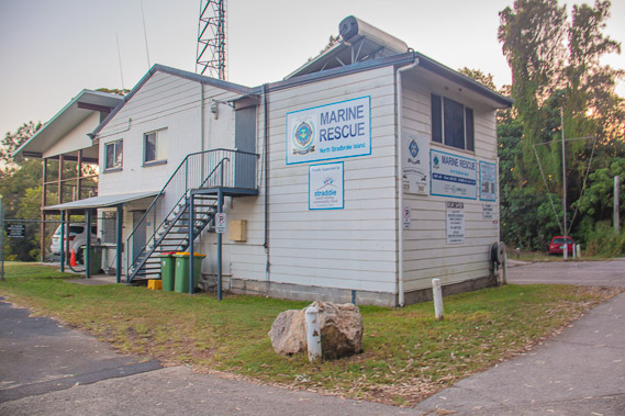 |
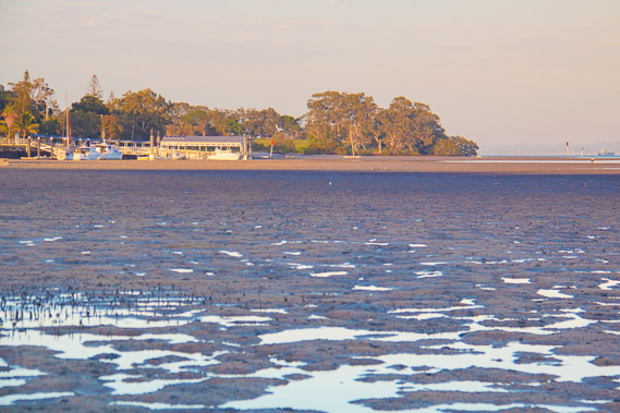
05:52 - The marine rescue centre in the northern part of Dunwich just before sunrise having checked out of the camping ground. |
 |
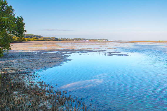
05:59 - Reaching the mudflats just north of Dunwich as the sun rises over the other side of the island. This is my final day on the west coast of North Stradbroke Island, the largest island in Moreton Bay. |
 |
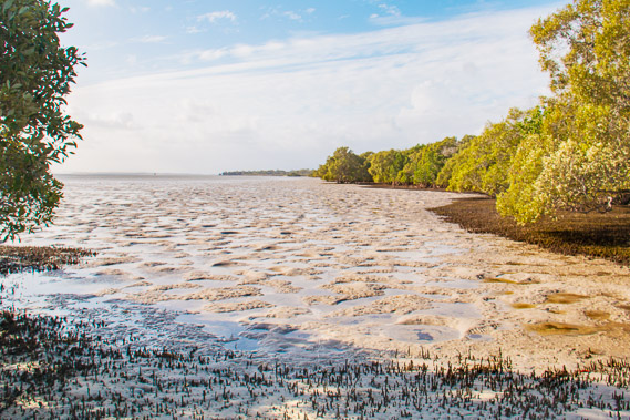
06:04 - I am pleasantly surprised the sand is a lot firmer here than on the other side of Dunwich. So long as I step on the edges of the crab holes the sand is as firm as on any beach. This will make for quicker progress than the past two days. |
 |
06:11 - Looking back to Dunwich as the early morning sun streams over the sand hills. |
 |
06:14 - A solider crab buries itself in the mud. I have discovered the bay is crawling with millions, perhaps billions of these crabs, normally in large groups making the entire beach look like it's moving. |
 |
06:25 - Passing large blocks of dried mud as I head north towards the distant point. Maybe this isn't going to be quite as easy as I had initially thought. |
 |
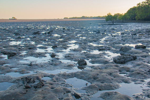
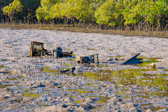
06:54 - The rusting hulk of the large dredge "Norman" - probably named after Norman Creek in Brisbane. It serviced the Brisbane River dredging out the port before being used to dredge coral from Mud Island for making cement until it was disposed here in 1950. Its rusting hulk has a mangrove growing out of it. In the distance to the right is the wreck of the Lady Loch, built in 1886 and used in Melbourne until it was relocated to Brisbane to be used as a gravel barge until it was disposed of here in 1966. |
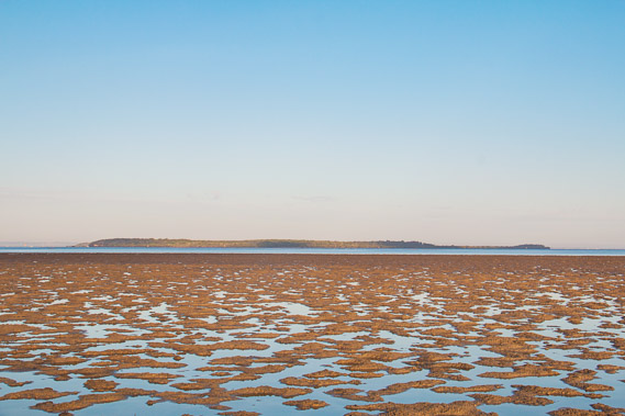 |
07:00 - Peel Island, with its closed off ruins of the old Moreton Bay leper colony to the right of the island. |
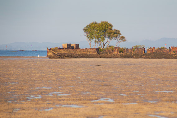 |
07:19 - Zoomed into the wreck of the Norman, from where mangroves grow. |
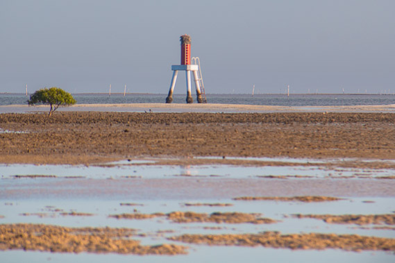 |
07:43 - A marker light at the edge of the deep channel running along the length of the island. The sand bar here is a good kilometre wide, and would have once been a towering sand hill until the wind and tides reduced it to a large sweeping sand bank. |
 |
07:46 - Reaching the first point where a large puddle left by the tide restricts me to near he mangroves. |
 |
07:47 - Looking from the first point back to Dunwich already a considerable distance away. The main road between Dunwich and Point Lookout and Amity Point follows this part of the coast before heading inland, so I can hear the traffic following this busy sealed road. |
 |
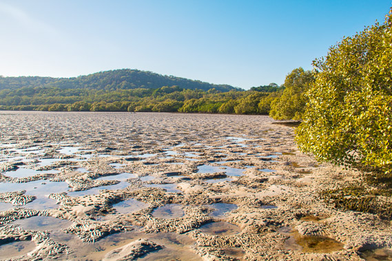
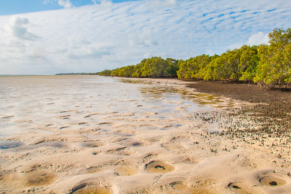
07:49 - Sand patterns and mangroves left from the overnight tide capturing the early morning sunlight very well. The sand here is very firm making progress once more very easy. |
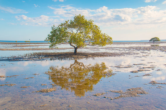 |
07:57 - A solitary tree leaving a perfect reflection in a puddle left by the tide. |
 |
08:10 - Looking back to the first point as I start heading around the sweeping bay. |
 |
08:11 - Heading into the bay with the forested sandhills rising behind the mangroves. The traffic gets louder as I approach the road. |
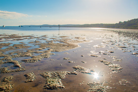 |
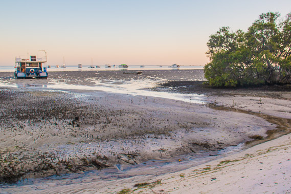
08:13 - The tide is quickly coming in as I continue around the bay towards Amity Point now visible in the distance beyond the anchored boats. |
 |
08:15 - The remains of a wrecked boat probably having broken its anchorage during a storm several years ago and drifted across the bay to here. |
 |
08:46 - Crossing Capembah Creek. The water is shallow but the sand is briefly soft. Fortunately it firms up again on the other side. |
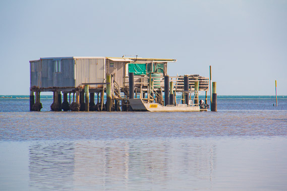 |
09:07 - A storage shed on piles out in the bay, servicing a nearby fishing area. |
 |
09:18 - The tide has almost reached the mangroves and is coming in quickly. This will slow me down for a few hours. |
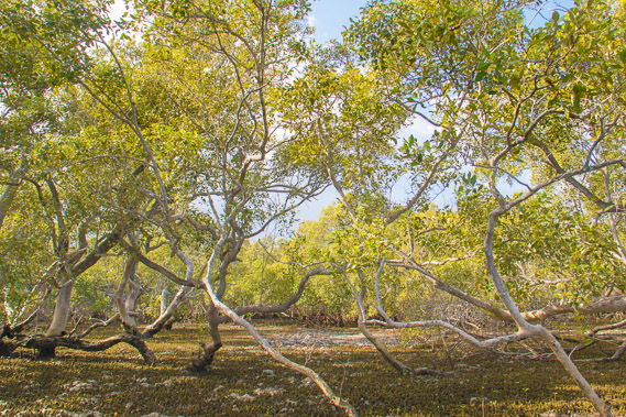 |
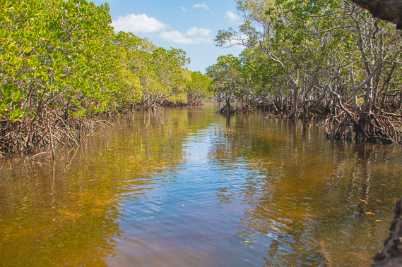
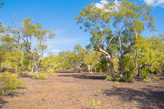
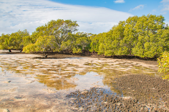
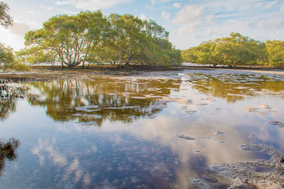
09:41 - Entering the mangroves. Fortunately these grey mangroves are quite open and very easy to navigate. |
 |
09:43 - The water covers the shallow sand flat through one of the gaps in the mangroves. |
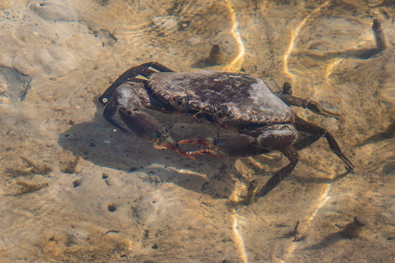 |
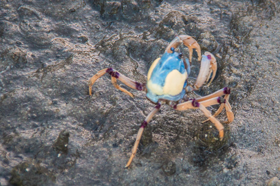
09:50 - A large crab the size of a dinner plate in the shallow water. The bay is full of these crabs. Normally they are hidden in their shallow burrows, but this one is making the most of the fresh tide bringing in its food. This is why I don't step in any of the holes, just step on the edges. |
 |
09:56 - A gap through the mangroves to the bay. |
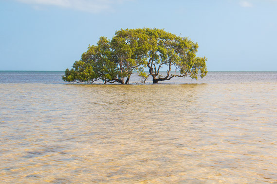 |
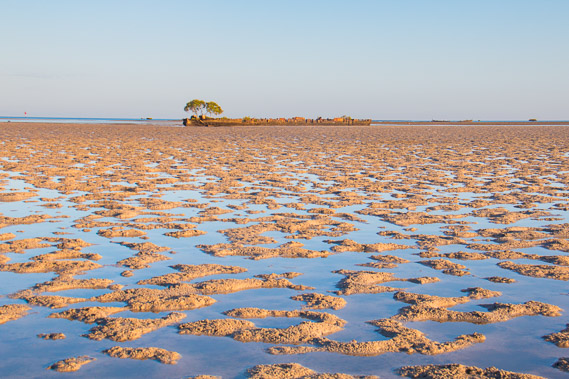
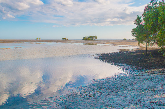
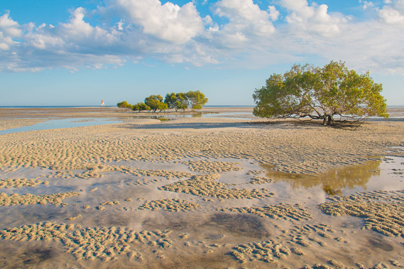
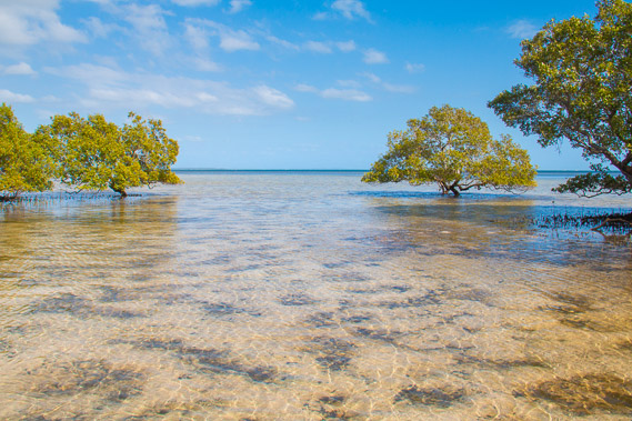
10:03 - Another solitary mangrove out in the bay. A sea breeze is now ruffling the surface of the water. |
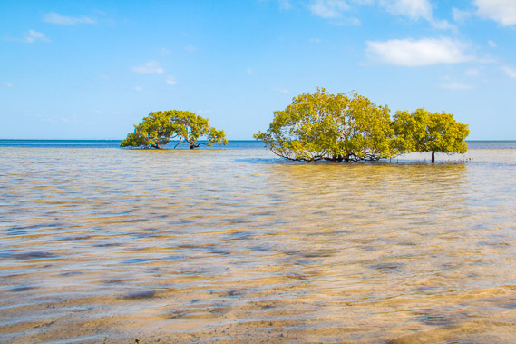 |
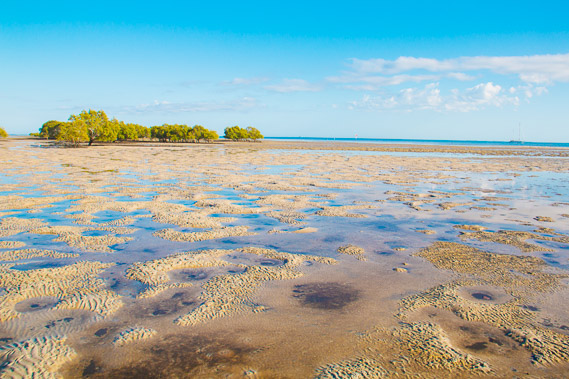
10:07 - More mangroves out in the water. |
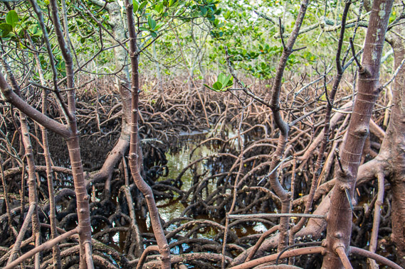 |
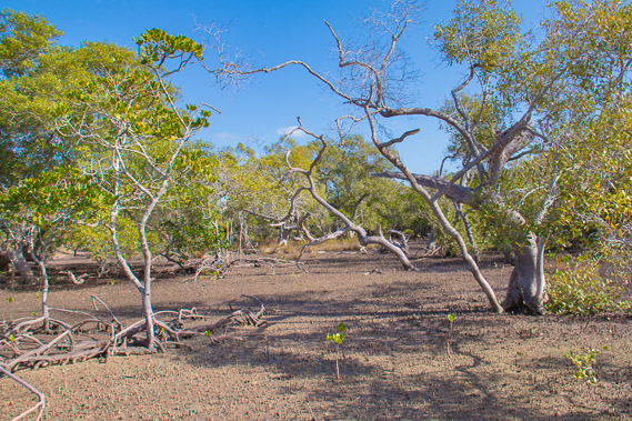
10:27 - I reach a large patch of orange mangroves. This tangle of roots is going to be quite an obstacle course with progress very slow. |
 |
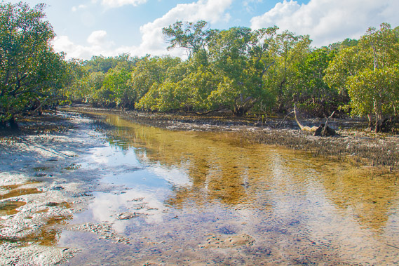
11:27 - Reaching the shallow Cooroon Cooroonpah Creek near high tide an hour later after a lot of scrambling over orange mangroves. By now the east coast road has turned inland and follows this creek upstream for several kilometres before reaching a junction, with the left hand road coming back across the hills to Amity Point, and the other road continuing towards Point Lookout. |
 |
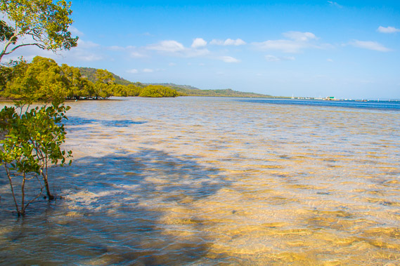
11:41 - Once across the creek the mangroves open out so I follow this strip for a couple of kilometres between the tangles of orange mangroves and the reeds under the sandhills. |
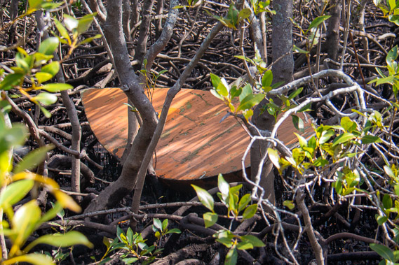 |
12:19 - A long forgotten surf board washed up in the mangroves. Fortunately there isn't much litter here, but I wonder where this was set adrift. This could have come from anywhere along the coast, perhaps around Amity Point, or even from the Gold Coast. |
 |
12:56 - Progress is good along the natural tidal pan. Fortunately today's tide isn't very high. At this time of year the night tides are bigger than the day tides, and will continue that way throughout winter as the sun swings low across the sky and the moon swings very high. |
 |
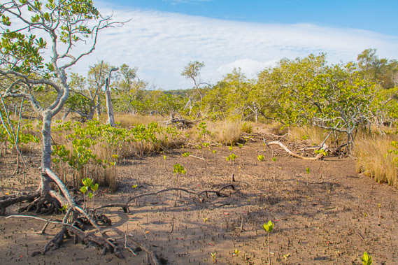
13:38 - I continue to follow the hard dry flats in the mangroves, interrupted only by the occasional scramble of orange mangrove, and the occasional tiny creek draining the swamps. |
 |
14:09 - Looking across a swamp to the forested sand hills. |
 |
14:27 - The clear strip has gone for quite some distance. The tide would have turned by now and be near the edge of the mangrove forest. |
 |
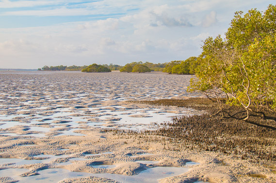
14:45 - Sure enough, after a short scramble through orange mangroves, I reach the coast and the tide is just beyond the mangroves. The sand is very firm here making for easy walking along the coast up to Amity Point now clearly visible in the distance. Just so long as I keep to the rims of the crab holes. I don't want to disturb any. |
 |
14:56 - Puddles are left by the tide, but otherwise the going is dry. |
 |
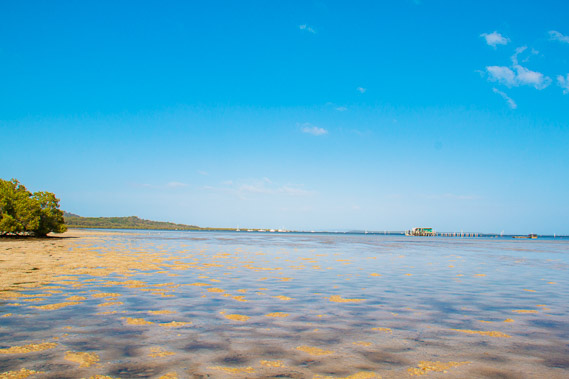
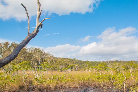
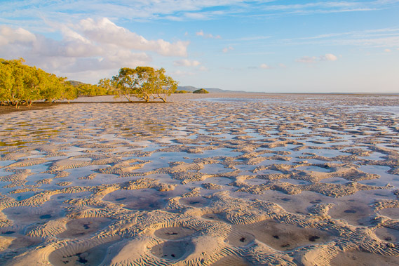
15:12 - Looking back along the coast towards Dunwich in front of the distant sandhills. There is almost no sign of civilisation from here. The bay is turning now giving more views of the distant high sand hills which tower up to 240 metres high, the elevation of the tallest hills in the Cooloola Sandblow. |
 |
15:16 - The sun is sinking across the bay and Amity Point is not far now. |
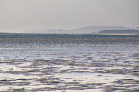 |
15:27 - Zoomed in, I can see the towering and dramatic sandhills of Moreton Island up to Shark Spit. From here it looks like these hills go straight into the water. I will be crossing over to Moreton Island tomorrow morning and exploring the coast under those hills the next day. |
 |
16:04 - The sun draws low over the sand flats reflecting the water in an almost metallic fashion. |
 |
16:11 - Negotiating the puddles behind the mangroves. |
 |
16:22 - Amity Point is getting very close now. I have nearly reached my destination. The camping ground is just behind the point. |
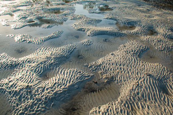 |
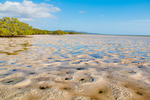
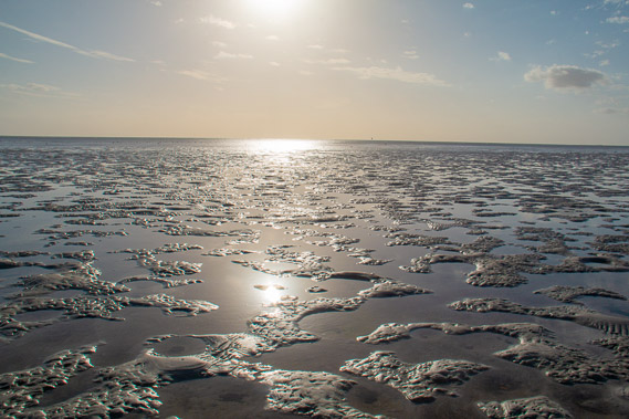
16:55 - Patterns in the sand left by the last tide. The patterns look delicate, but my boots hardly deform them when I walk across them. |
 |
17:02 - Looking back down the island as the sun goes draws over the horizon. |
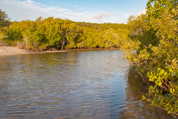 |
17:07 - Reaching an unnamed creek near Amity Point. |
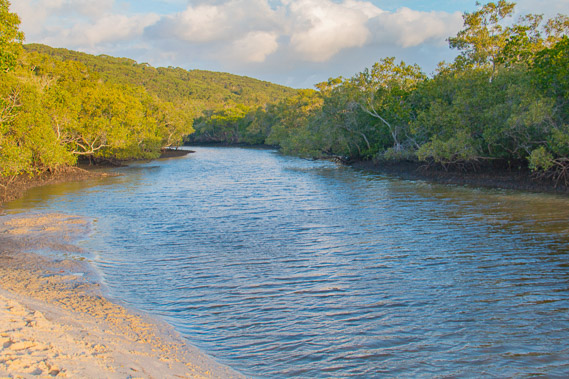 |
17:15 - Looking up the creek having crossed at the mouth. From the bend, the creek swings to the left going behind Amity Point village. |
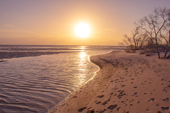 |
17:26 - View back to the mouth of the creek. This is a great spot for the sunset. |
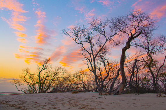 |
17:42 - High cloud captures the last of the sunset over the dead mangroves ten minutes after the sun sets. |
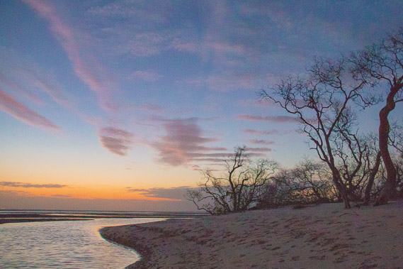 |
18:21 - Last light over the creek before the tide comes in again. From here I follow the beach a short distance before reaching the camping ground. |
|