Introduction to Moreton Island
WHEN LEUTENANT James Cook sailed northward along Australia's East Coast, he followed the the sand islands northward from Point Danger until reaching the top of what is now Moreton Island. Thinking it was part of the mainland. He named the rocky point "Cape Morton", after the Scottish Earl of Morton. From there he continued sailing northward assuming Morton Bay, which he also named, was just a regular bay with no port suitable for establishing what would eventually become one of Australia's major cities. A transcription of his records 23 years later resulted in the mispelling "Moreton" which we have been stuck with ever since.
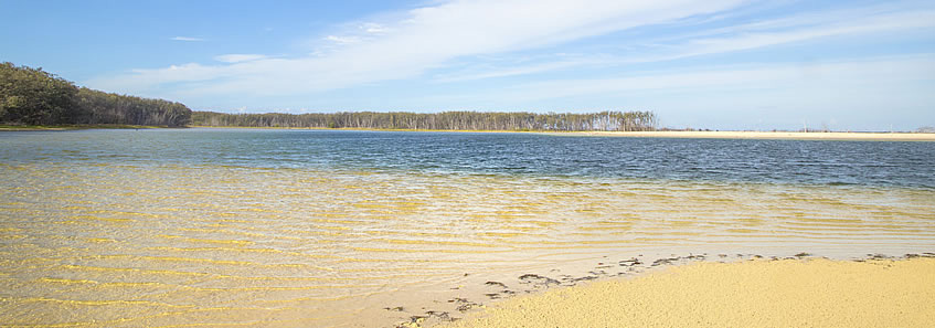
The most remote and beautiful part of the South East Queensland coastline would definitely have to be Moreton Island. With one resort and three small villages, the island is otherwise entirely pristine national park. Although part of Brisbane City, the bay is wide enough here to hardly be able to see any of the city at all, as if it were a very isolated island paradise.
From Amity Point, I cross over the notorious passage to Kooringal at the bottom of Moreton Island, and complete a circumnavigation around this pristine island. Heading up the west coast, I eventually reach the entrance of Moreton Bay and cross the spectacular northern coast of the island to the rugged Cape Moreton, before following the long exposed coast southwards back to Kooringal where I head back over to the northern coast of North Stradbroke Island and head across to Point Lookout completing this leg of 126 kilometres.
|