This week in South East Queensland
6 - 12 May
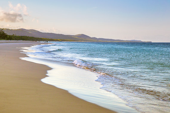
THE MOST spectacular and beautiful beaches along the South East Queensland coast are those facing northwards. They are relatively sheltered from the prevailing south easterly winds and from the prevailing oceanic current heading up the coast. To date these areas have included Rainbow Beach and Noosa Beach, and to a lesser extent, Mooloolaba Beach and Moffatt Beach. In my opinion the northern coast of Moreton Island is the best of the lot, even though there are more north facing beaches along the top of North Stradbroke Island, Burleigh Beach and Coolangatta.
Today's trek takes me from Bulwer, rounding Comboyuro Point heading out of Moreton Bay before heading across the maze of lagoons and inlets across the spectacular northern coast under large sand blows before eventually reaching the North Point camping ground on the first solid ground I have seen since leaving Russell Island.
Today's Journey
Distance hiked today: 12.8km
Total distance hiked to date: 937.2km
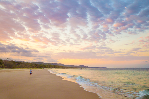 |
05:30 - A runner going down the beach at first light as I leave the camping ground under altostratus cloud. |
 |
05:34 - Comboyuro Point is just a short distance away and the waves are already starting to get bigger as I continue along the coast. |
 |
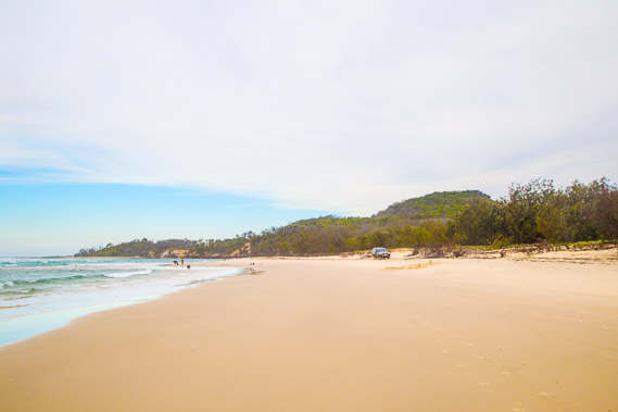
06:14 - Starting to round the point leaving Moreton Bay as clouds from the north enters the bay and the sun rises over the horizon still hidden from here by the island. |
 |
06:20 - A final look back down the bay towards Tangalooma as the morning sunlight captures on the towering sandhills in the distance. |
 |
06:27 - Rounding Comboyuro Point. When I last explored this point in 2008, the water was eroding the forest with the high tides washing up on the fallen trees. In the decade since, well over a hundred metres of sand has been deposited here carried down from further along the coast. |
 |
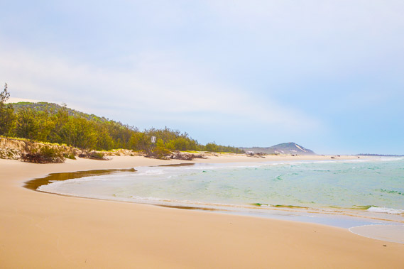
06:36 - The waves are bigger as I reach a small bay just around the point and pass a fisherman enjoying his seclusion. |
 |
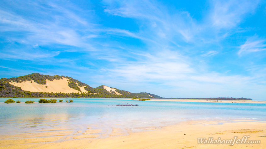
06:37 - Morning Glory cloud formation over the north of the island. The water looks clear, but just beneath the surface there are submerged sandbanks stretching out a good thirty kilometres from here. |
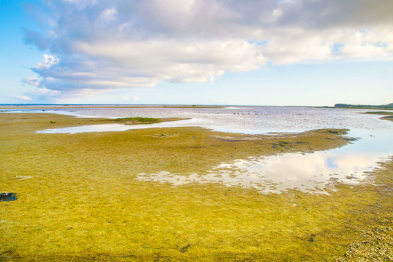 |
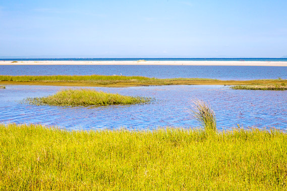
06:54 - Reaching the start of the lagoon at Dog Creek. Bright yellow green foliage grows around its edge as the water level gradually subsides. |
 |
07:07 - Dog Creek Lagoon with reeds growing on its sheltered bank. |
 |
07:15 - Morning Glory cloud hovering over the lagoon as I pass inside a side channel. |
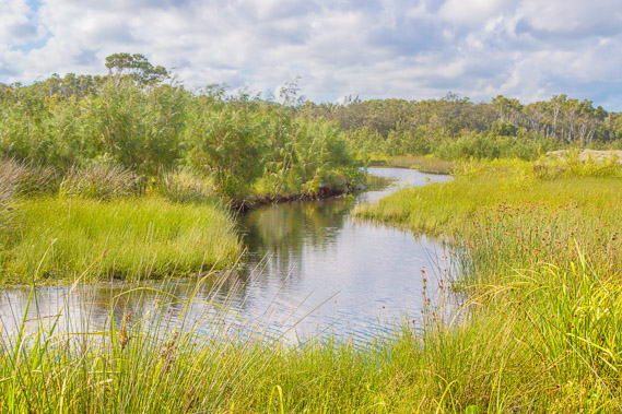 |
07:43 - Reaching Dog Creek, which drains from a small lake a few hundred metres upstream in the swamp behind Bulwer. |
 |
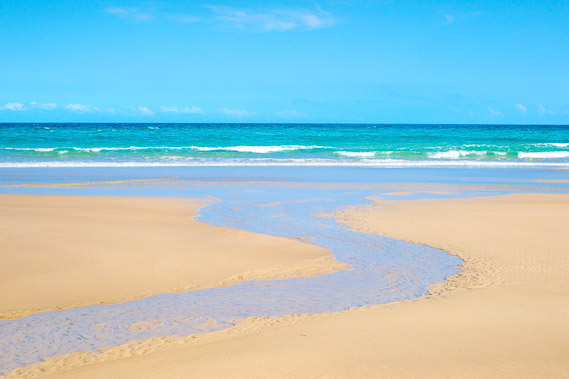
07:45 - The lagoon at the mouth of the creek. The sand moving down the coast towards the entrance of Moreton Bay has created this large lagoon blocking the creek. |
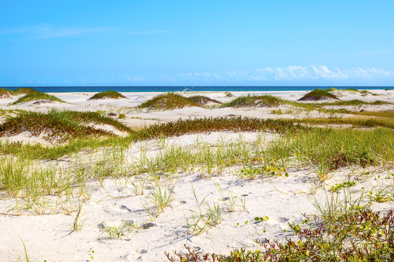 |
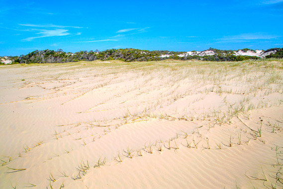
07:53 - I cross the lagoon at a very shallow crossing point just before the main stream. From there I follow about a kilometre of pure white silica sand held together by spinnifex grass and succulents on this unstable coastline. |
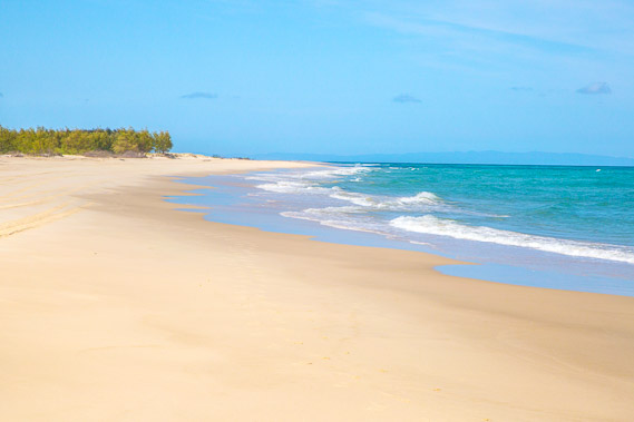 |
08:14 - Back on the beach about a kilometre past Dog Creek. The waves are substantially bigger now and the mainland is getting further away. The beach is quite narrow too with the scrubby bush now less than a hundred metres above the water. |
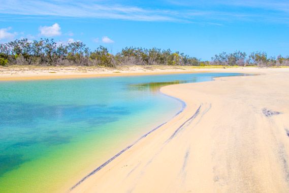 |
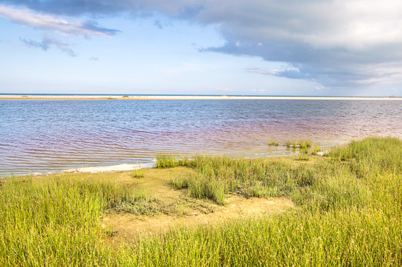
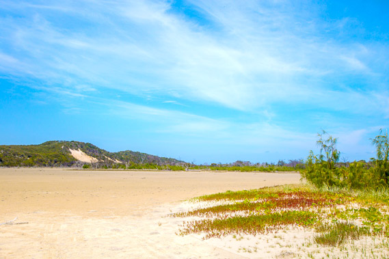
08:45 - One of several pristine deep lagoons being formed and removed by the dynamic tides at Taylor Bight. This landscape here constantly changing. This area used to be a very wide stretch of sand dunes, but these have been eroded back into a narrow stretch of less than a hundred metres containing numerous deep lagoons formed by the wave motion. The sea of sand once occupying this area has moved to Dog Creek and Comboyuro Point. |
 |
08:51 - Mouth of a stream flowing out of one of the tidal lagoons. There are no freshwater streams between Dog Creek and the cape. |
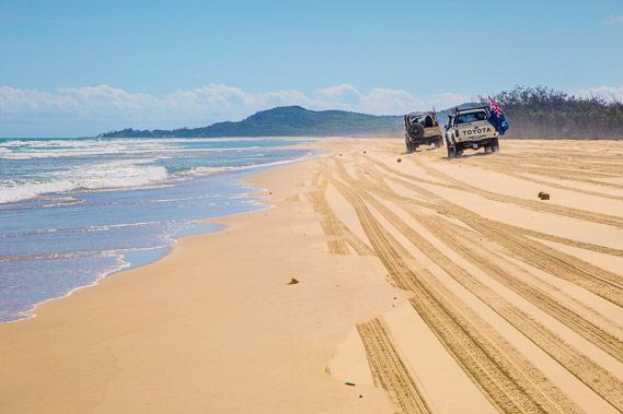 |
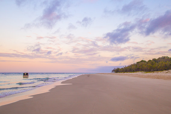
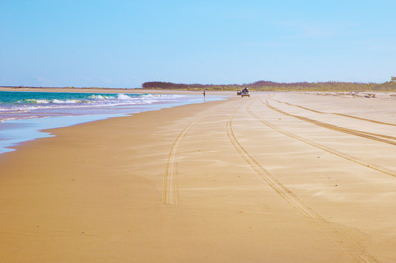
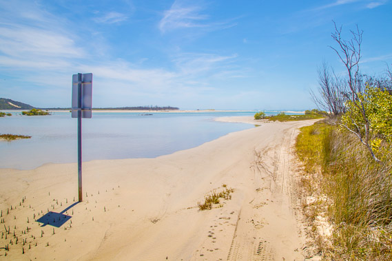
09:06 - Heading up the beach no doubt to do some fishing. North Point is clearly visible in the distance but the Heath Island estuary makes beach driving to the point impossible, requiring a detour back to Bulwer and following an inland road through the dunes. |
 |
09:12 - Another lagoon slowly getting eaten up by the advancing sand bank. |
 |
09:27 - Reaching the start of the Heath Island lagoon. There is no island here now, with this part of the coast changing all the time. |
 |
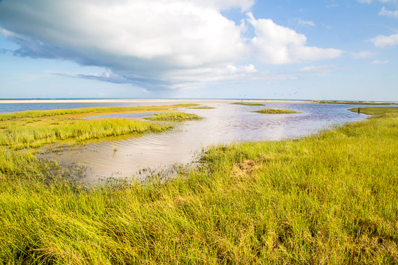
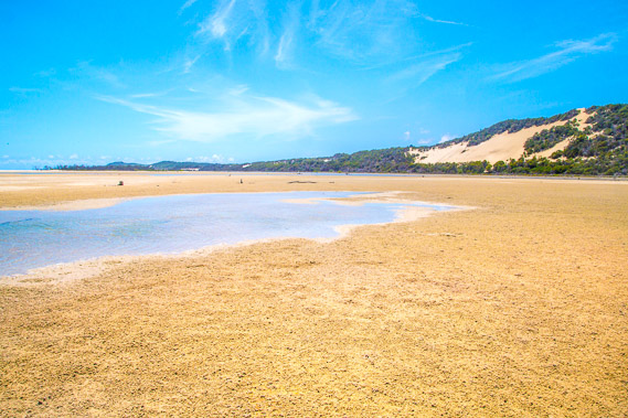
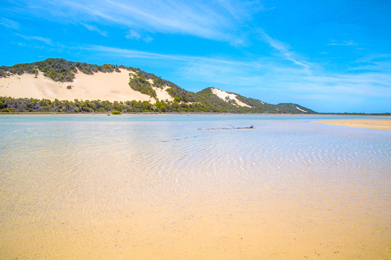
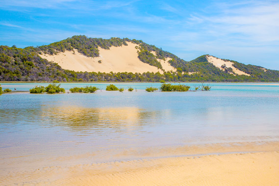
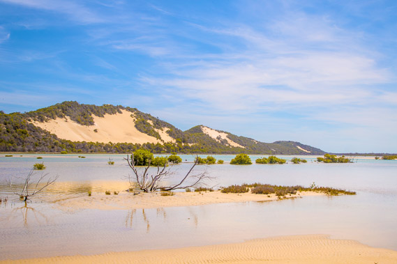
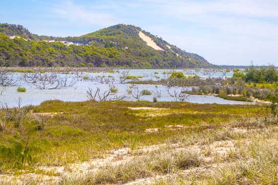
10:33 - Looking into the lagoon at the first of Seven Hills. Half of the lagoon sweeps back along the front of these hills almost right back to Dog Creek. The salt flat is dry, but it floods with the high tides and there is a permanent channel of water under the distant sand hills. |
 |
10:34 - Heading across the lagoon under the sandblows of Seven Hills. The surface is covered in tiny balls of sand created from crabs sifting out the algae from it for food. |
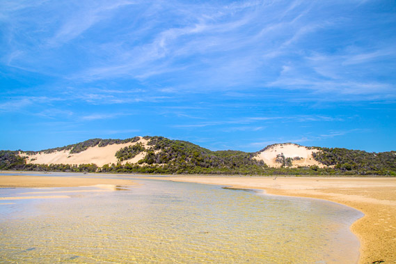 |
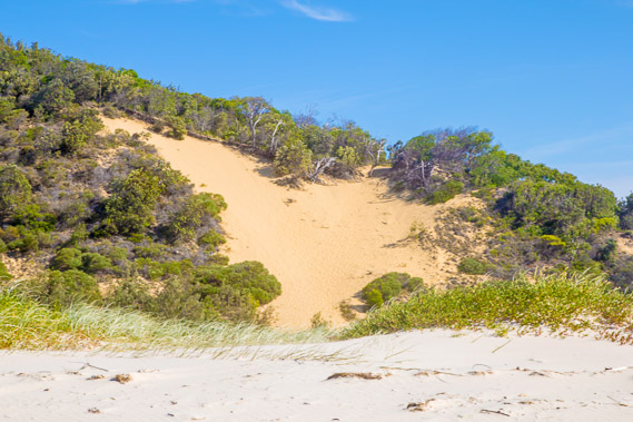
10:44 - Reaching what used to be the main channel of the estuary looking to the two largest sand blows of Seven Hills. These hills are visible from Bribie Island. |
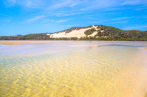 |
10:46 - Pristine water in the shallow crossing of this now blocked channel. |
 |
10:58 - Looking back over Seven Hills. These formations are similar to those at Rainbow Beach, where the sand has blown up the length of the the island for many thousands of years, and finally deposited here. Unlike Rainbow Beach though the temporary estuary is preventing any erosion of the sand cliffs at the moment, but this could change at any time given how dynamic this part of the coast is. |
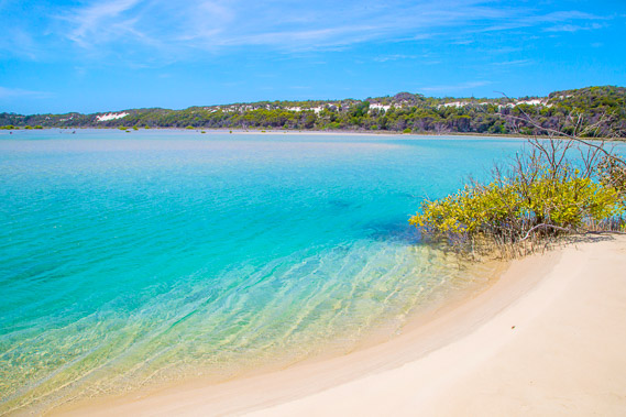 |
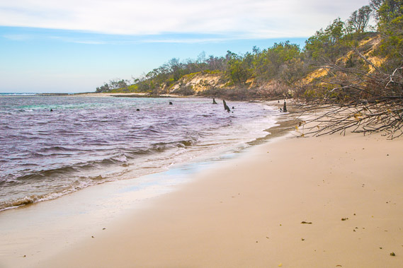
11:12 - Reaching the new outlet of the estuary at high tide. The water is a good two metres deep here and the incoming tide is bringing a swift current. There are a few mangroves clinging to the bank of this soft sand bank. More mangroves are visible across the water. These are the first mangroves I have seen since Big Sandhills. |
 |
11:15 - Looking down the channel to the remains of what used to be Heath Island. The old channel on the other side of the island has long filled in. |
 |
12:02 - The tide begins to go out, but I head upstream to where the channel is a lot shallower and cross around behind the channel in no more than knee deep water. |
 |
12:48 - Reaching the other side of the estuary as the tide continues to drop. |
 |
13:02 - Looking to the mouth of the channel before starting to follow the partially flooded sand road along the side of the estuary towards North Point. |
 |
13:03 - The tide is continuing to go out exposing the soft sand mounts as I follow the road along the edge of Heath Island. |
 |
13:05 - Following the road avoiding a few deep puddles still flooded by the tide. |
 |
13:31 - Crossing the large sand bank on the other side of what used to be the island. The other channel used to run through here up till a couple of decades ago. |
 |
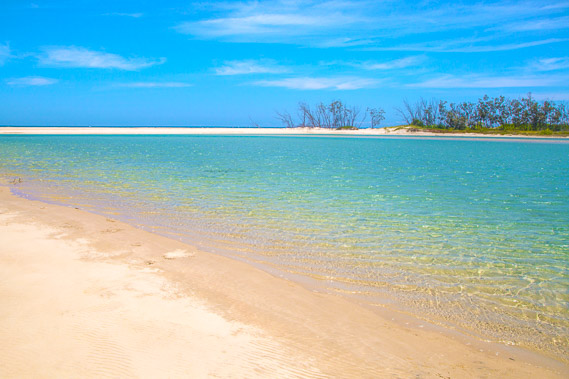
13:33 - I'm nearly at the far end of the estuary looking back over its shallow lethargically retreating water. A few mangroves grow here. |
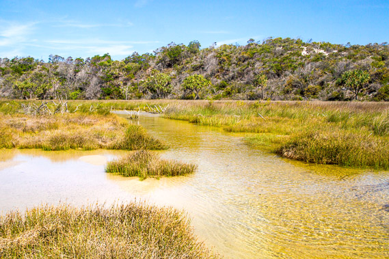 |
13:38 - Shallow pools of pristine sea water at the end of the estuary. The dunes rising above the estuary are very low here. |
 |
13:44 - Reeds and low sand hills in this sheltered pool at the end of the estuary, a good two kilometres down from the main channel. |
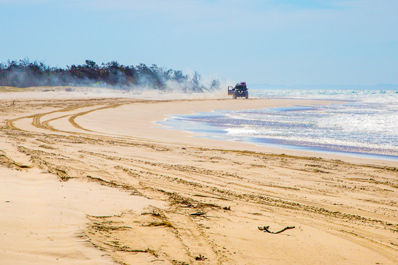 |
14:11 - From the end of the estuary I return to the beach and follow it towards North Point. A four wheel drive broken down billowing smoke in the distance back along the beach. These trips can be quite expensive. Even if you don't break down, the salt makes for a serious corrosion problem in these vehicles. |
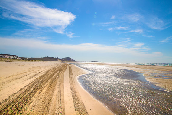 |
14:33 - Looking back along the beach as the tide goes out and I follow a drying out gutter. A thick bank of cloud is coming in from the south west. |
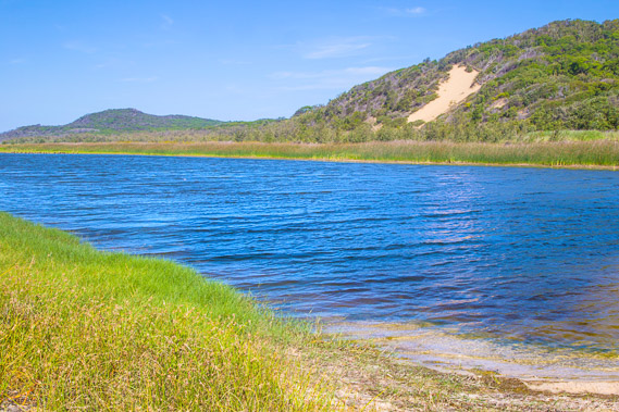 |
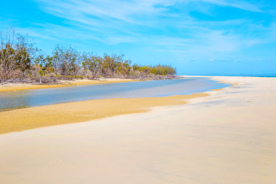
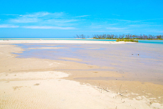
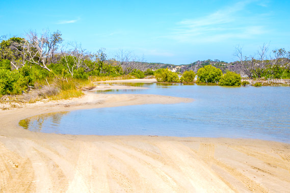
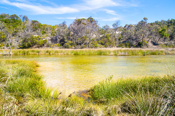
14:36 - A large lagoon at Yellow Patch where the bypass road to Bulwer comes out. The sea breeze headwind is ruffling the water. |
 |
14:43 - Yellow Patch. The patch itself used to be a lot larger and easily visible from Bribie Island, but the vegetation has covered most of it in recent decades. |
 |
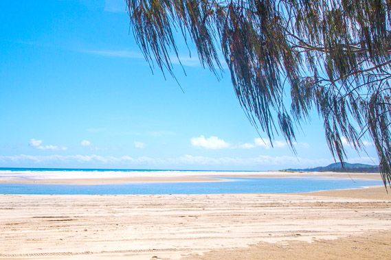
15:16 - The cloud comes over as I approach North Point. North Point is part of an extinct volcano holding the entire island in place. |
 |
15:18 - Looking back along the coast towards Heath Inlet as the sky becomes overcast with high cloud. |
 |
15:26 - This area below North Point used to be a tranquil lagoon, but the sand bank holding it together was washed away in a huge storm about a year ago. It won't be able to erode much further as North Point and Cape Moreton are part of an extinct volcano holding the entire island together. |
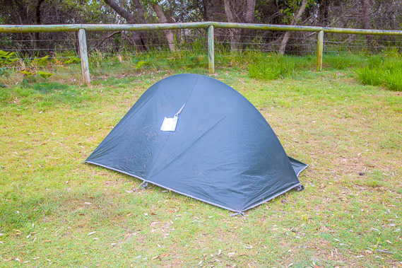 |
16:04 - Set up my tent at North Point camping ground sheltered behind the beach by tee tree. |
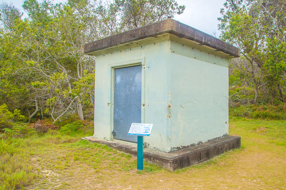 |
16:11 - A short walk up the hill takes me to a small building used as part of an old telegraph service to the lighthouse, now long abandoned. |
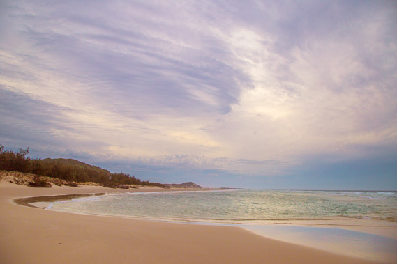 |
17:07 - I head back onto the beach at sunset. Unfortunately what was going to be my last clear sunset over the water has been covered with cloud. |
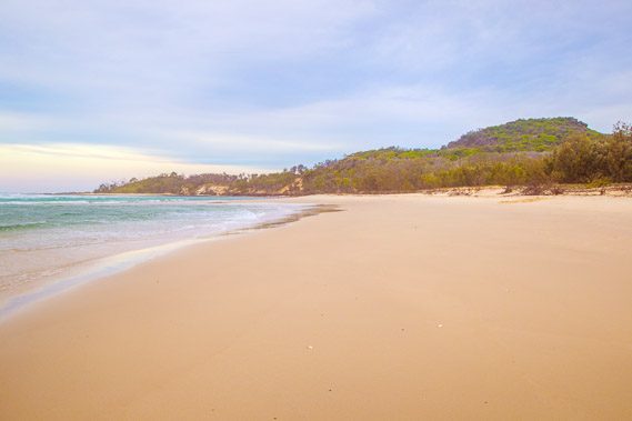 |
17:13 - Last view of North Point before I turn in for the night. I will be exploring this extinct volcano in the morning. |
|