This week in South East Queensland
27 May - 2 June
IN THIS land without seasons so to speak, this week inconspicuously marks the official start of winter. In the temperate and polar areas of the world, winter is the time when everthing shuts down because it is too cold. In late May to early June, the temperature does significantly drop for a couple of months, but the coastal areas never drop below freezing and most days reach over twenty degrees throughout the winter, making for very mild conditions.
Today's trek takes me further down the beach, passing Camel Rock and Rous Battery before finally reaching Mirapool Lagoon near the bottom of the island.
Today's Journey
Distance hiked today: 17.3km
Total distance hiked to date: 994.3km
 |
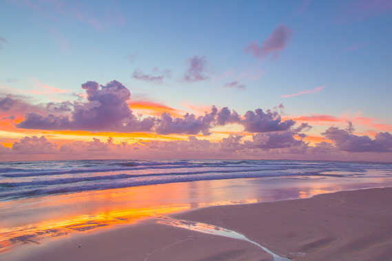
05:46 - Cloudy at first light, but it didn't rain overnight. The air is cool, at around fifteen degrees Celsius. |
 |
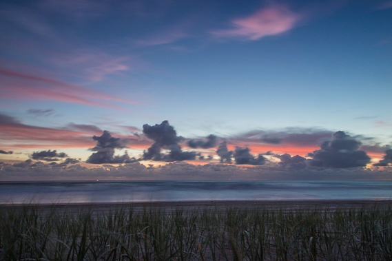
05:58 - Spectacular clouds light up the morning sky as I pack up the tent. |
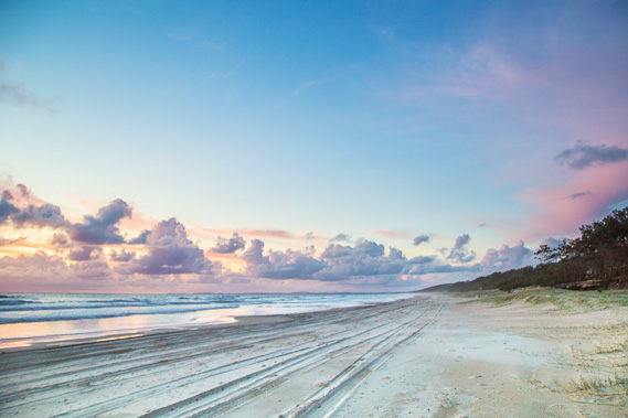 |
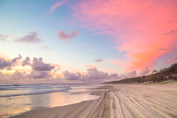
06:05 - Heading off along the sandy beach towards North Stradbroke, still only just sticking above the horizon. I am supposed to reach Point Lookout to the far left before the end of tomorrow, but it still seems so far away. |
 |
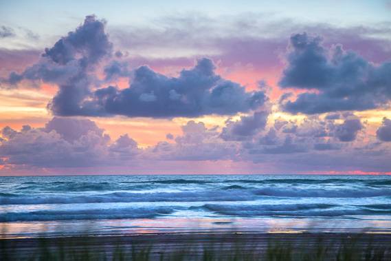
06:08 - Spectacular morning colours as the sun prepares to rise behind the clouds. |
 |
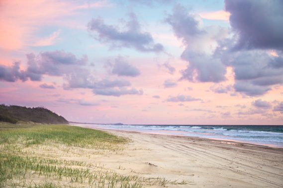
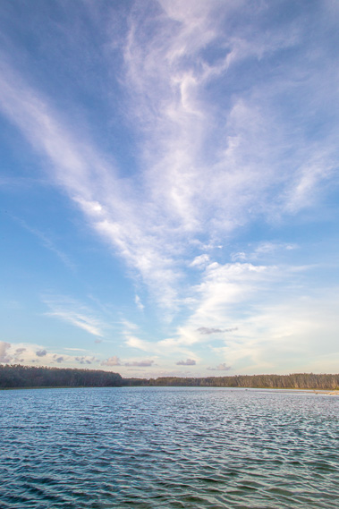
06:10 - Brilliant cirrus cloud overhead as I continue along the soft beach hoping the tide starts going out soon. The going is a bit difficult on the furrowed surface. |
 |
06:16 - The cape is a long way behind and beginning to swing out to sea ten minutes before sunrise. |
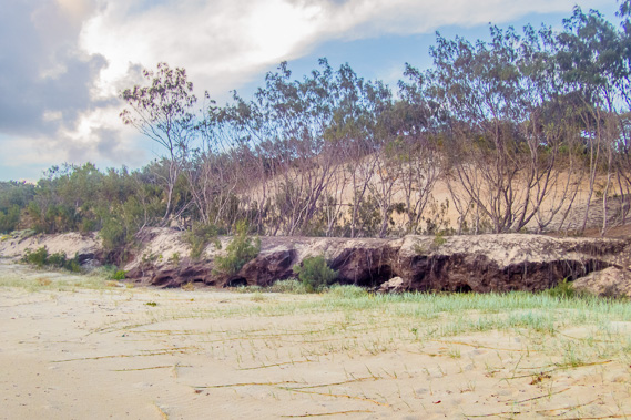 |
06:44 - Coffee rock from an old swamp at a time when the island was a lot further to the east. This would have been the bottom of a lake like Blue Lagoon, or perhaps just a large swamp. Now it forms a short cliff of very soft stone holding up the sandhills. |
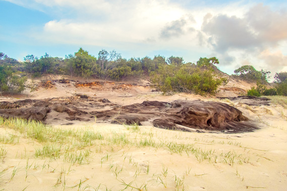 |
06:48 - More coffee rock from the ancient lake bottom or swamp as the sand dunes above it peels away from the advancing sea. |
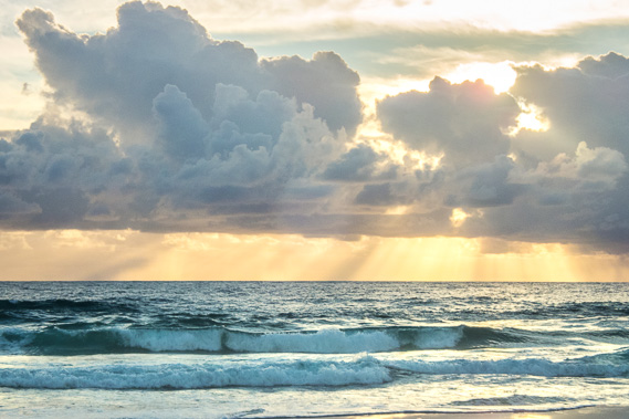 |
07:03 - The sun shines through the building clouds. Brilliant streaks of light shine on the sea surface several kilometres away. Although the rays are coming from a point (the sun), they are actually parallel. This is one of nature's optical illusions. Despite the sun coming through, I feel rain is on the way. |
 |
07:12 - An almost indistinguishable rock appears out of the sand dunes just ahead of me under the scruffy scrub. |
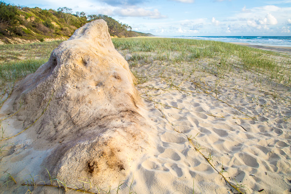 |
07:15 - This is camel rock, a piece of sandstone at the bottom of what would have once been a high sand hill perhaps as high as Mount Tempest. This sand hill would have overlooked the old swamp or lake I walked past about half an hour ago. Last time I was here in 2006, there was a lot less sand here, and the rock was exposed out on the beach showing a lot more rock. The sand has substantially built up here in the years since. |
 |
07:18 - After a breakfast break, I continue heading along the beach. The rock doesn't really look like a camel, but given it is eroding quite rapidly, it probably did once look like one. |
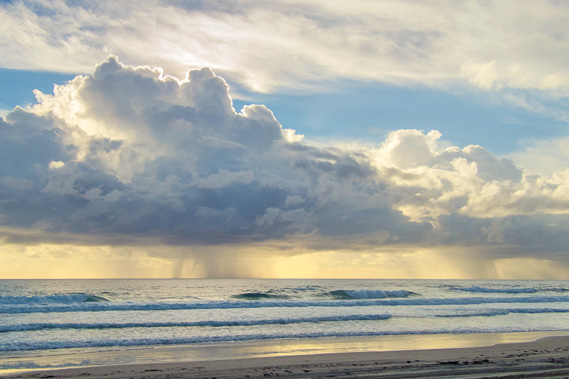 |
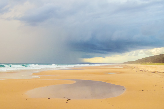
07:37 - The rain clouds build enough for heavy shower to start falling in the distance offshore. |
 |
08:02 - The rain quickly becomes heavy as it approaches. It is already starting to rain at Point Lookout, tomorrow night's destination. With no shelter between here and Mirapool, I rest here for a while before the rain arrives. |
 |
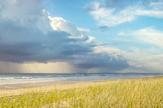
08:20 - The heavy rain sweeps over the top of North Stradbroke as I start continuing along the very long beach. |
 |
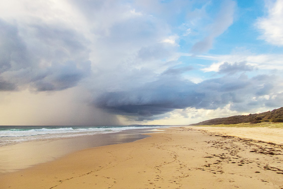
08:27 - The rain sweeps in as I hike on the hard sand around small pools the last tide has left. |
 |
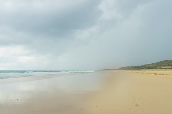
09:04 - The rain hits heavy and suddenly. Fortunately there is no thunderstorm activity. About a minute after this shot was taken, the visibility reduced to a hundred metres as the rain fell very heavily. Heavy rain does sometimes fall in the late autumn just before the climate swings into winter. |
 |
09:10 - The large drops leave large pocks in the saturated sand as it falls relentlessly. |
 |
09:16 - Low cliffs form in the sandhills as the rain continues falling. I capture this image in a very brief break in the rain. The sand here is a different colour, perhaps from having been from a small swamp at one stage in the past. |
 |
09:22 - The heavy rain contines, but soon starts to ease off as the clouds begin to move away. |
 |
09:31 - The clouds quickly break as they hurry across the sky from the south east. |
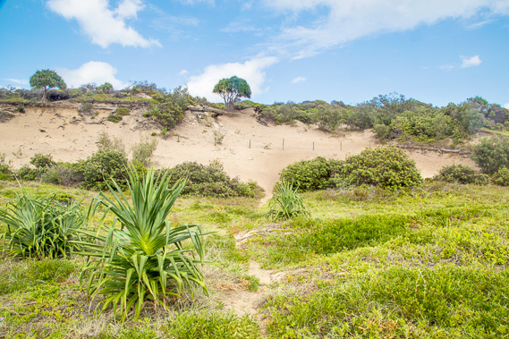 |
10:14 - I reach the short track into the low sandhills up to Rous Battery. It was named after Captain Henry John Rous, the son of the Earl of Stradbroke (where Stradbroke Island got its name). |
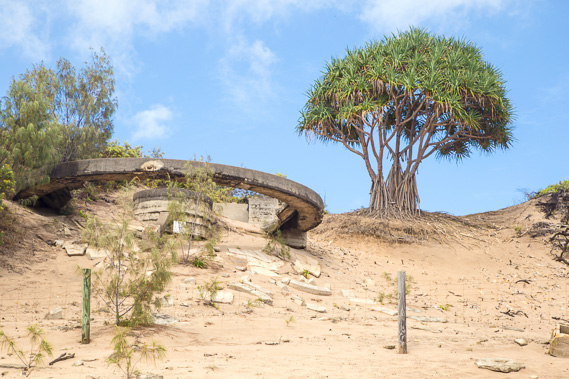 |
10:16 - This was once another hilltop military installation monitoring ships heading up and down the coast. The gun placement now sits dangerously perched at the edge of the rapidly eroding sand cliff. In a few years the remains of this structure will collapse. |
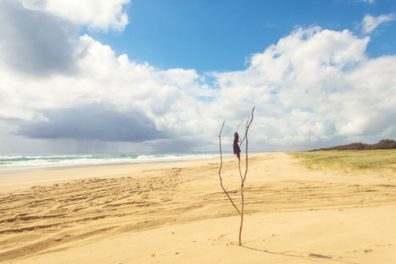 |
10:32 - I continue hiking along the beach for another ten minutes before reaching this little marker and head up the start of the track to a good water supply which will keep me going to Kooringal. |
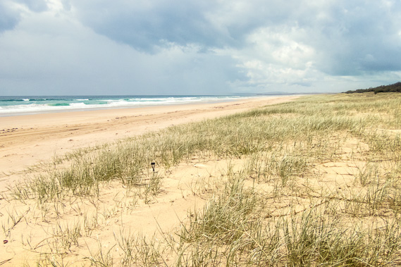 |
11:09 - Back on the beach after a break along the track. The road track leads to a couple of camp sites, and to a walking track following what was once a road running along the top of the hills diagonally across the island to Tangalooma. |
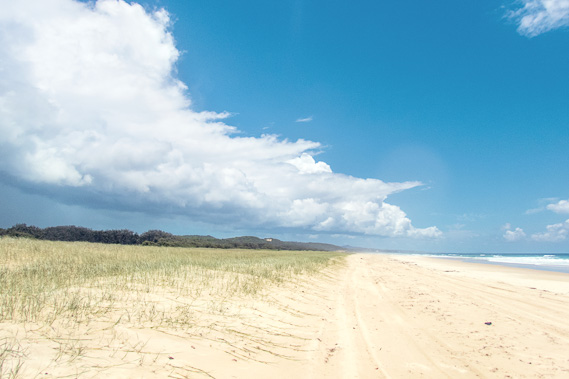 |
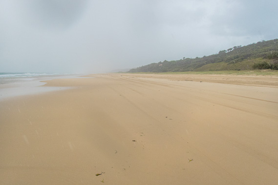
12:28 - Another hour and a half passes as the sand hills flatten and the beach starts to turn to the east. By now most of the cloud has cleared with the lingering banks no longer producing rain. |
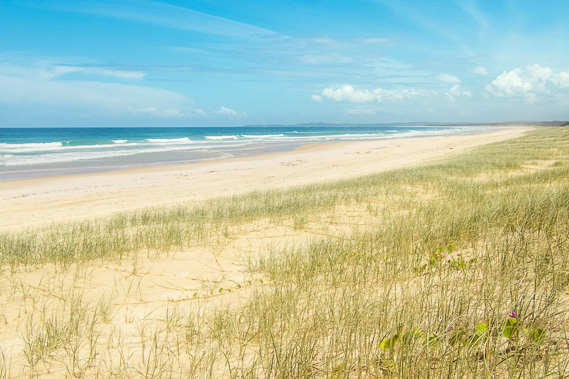 |
13:16 - I continue along the beach for another hour as the sky down south continuing to clear with North Stradbroke Island looking a lot closer. I can also see the end of this island now, where it suddenly turns at the entrance of South Passage into today's destination at Mirapool. |
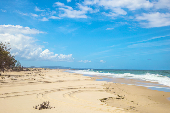 |
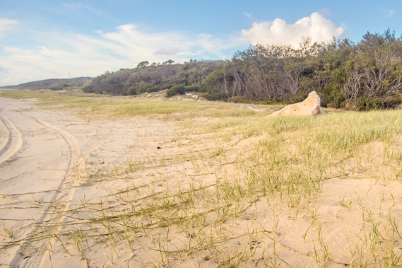
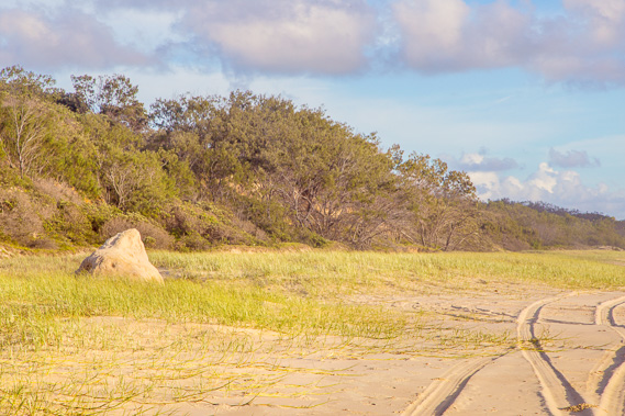
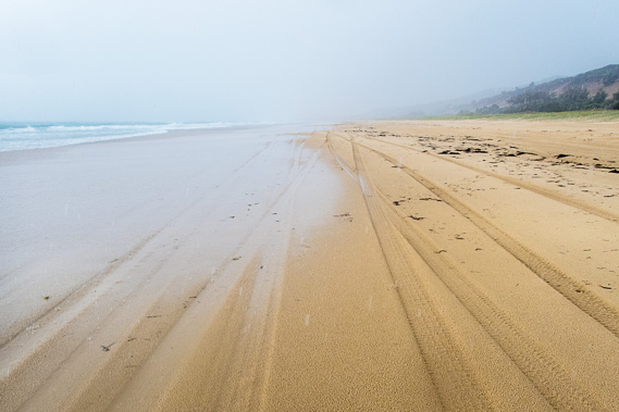
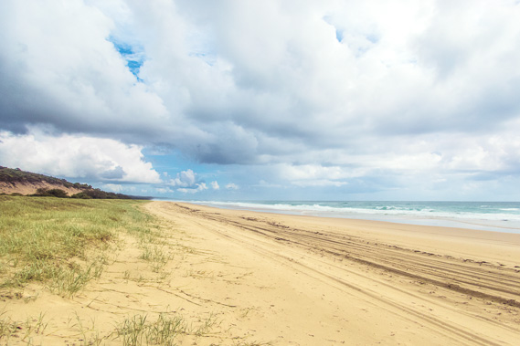
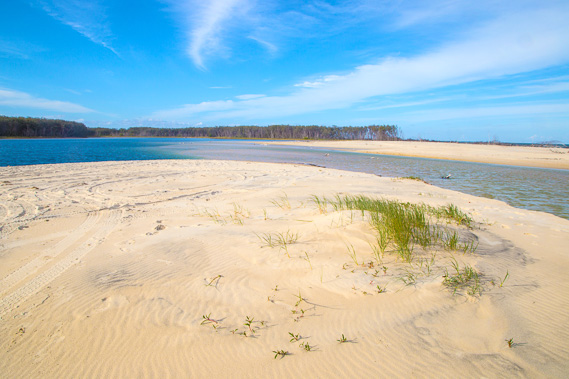
14:19 - After another hour I reach close to the bottom of the island, where the sand is scarred with the tyre marks of people who have been fishing. The tide is well on its way in again. Looking back in the distance Mount Tempest stands out as a small triangle in front of rounded Howard Range to its left. The cape is only just visible out to sea to the right thirty five kilometres away. |
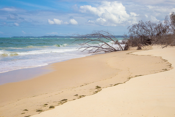 |
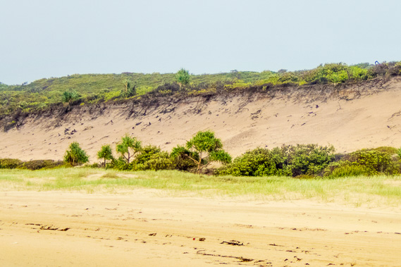
14:20 - It is not long before I reach the start of where the beach is eroding into the forest, making access by vehicles impenetrable. Point Lookout is clearly in view now. |
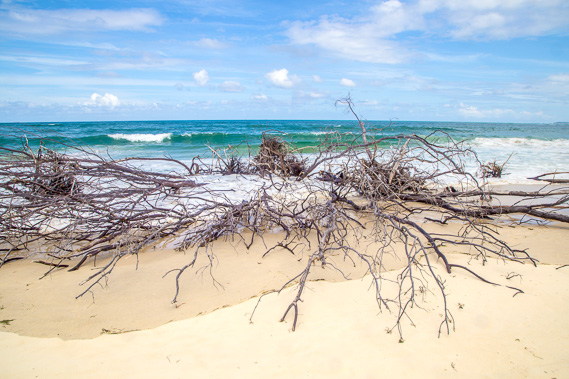 |
14:24 - The remains of part of a forest being gobbled up into the sea. The bottom of Moreton Island has been rapidly eroding away in recent decades as the channel of South Passage continuously changes with the big tides and strong swells. |
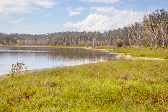 |
14:29 - Reaching Mirapool Lagoon, an ecological preserve where a lot of research is done on the many animals living in its depths. |
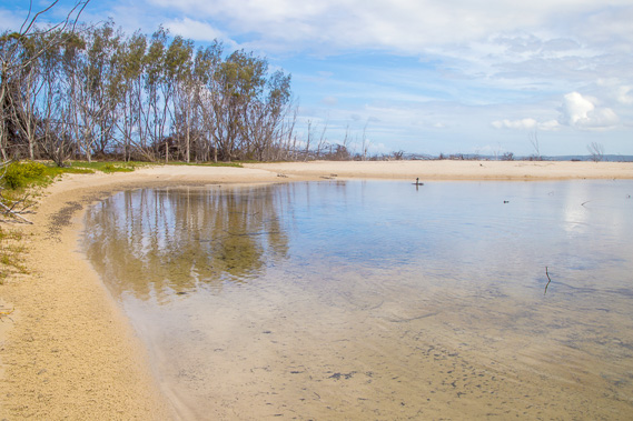 |
14:30 - Heading around the edge of Mirapool continuing to follow the coast to avoid all the timber from the forest falling into the sea. |
 |
14:37 - Peaceful waters of Mirapool lagoon. I wonder how much longer this will remain given how quickly the coast is eroding. There was once a similar lagoon on the other side of Kooringal at what is now Day's Gutter. These lagoons once supported an Aboriginal population before they were all forcibly removed to Dunwich in the late 1800s. |
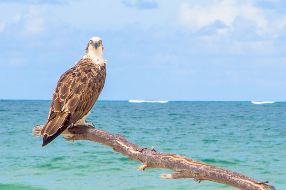 |
14:42 - A brahminy eagle at Mirapool. It is sitting on a fallen tree looking out for its next meal. The waves in the distance are breaking over a submerged sand bank. |
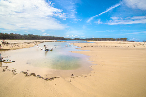 |
14:50 - Crossing the inlet to the lagoon - the tide isn't quite high enough yet for water to flow in. |
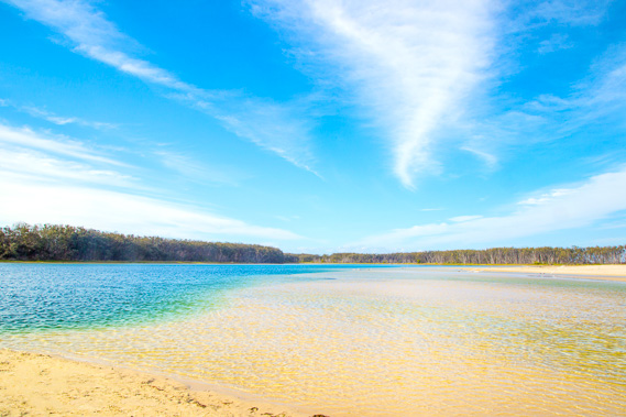 |
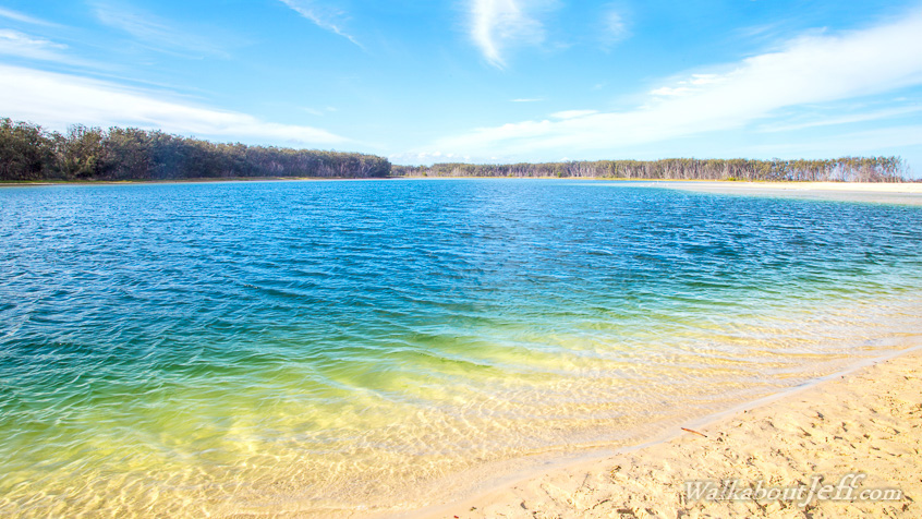
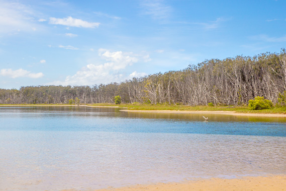
15:05 - Reaching the deep part of the lagoon where many animals live in its depths. The water there would be several metres deep with dugongs, rays, and many other species living in it. The water is rejuvenated twice daily by the high tides. |
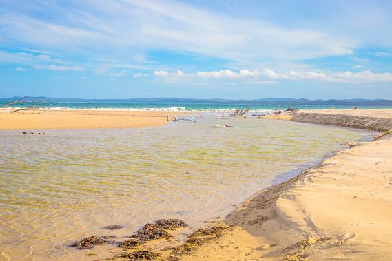 |
15:36 - After resting on the beach for half an hour, I return to the inlet and see the tide now coming into the estuary. The high sandhills of North Stradbroke spans the horizon in the background. |
 |
15:47 - The lagoon floods at the full tide, allowing small fish to come and go. |
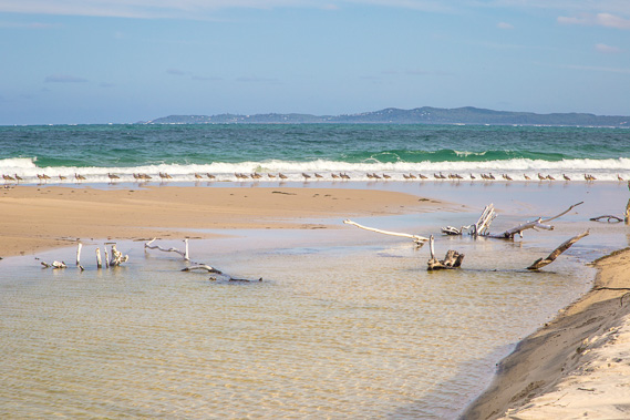 |
15:58 - A big line of birds at the entrance to the estuary waiting for small fish. Point Lookout is in the background. |
 |
16:36 - The late afternoon shadow extends over the lagoon as cirrus clouds start covering the sky. |
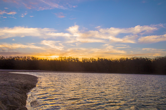 |
16:58 - The sun sets behind the lagoon. |
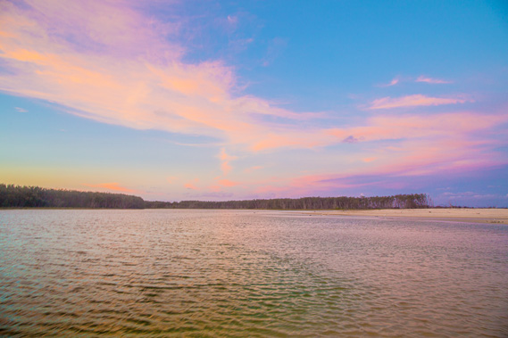 |
17:12 - Brilliant cirrus clouds light up over the darkening lagoon capturing the last rays of sunlight. |
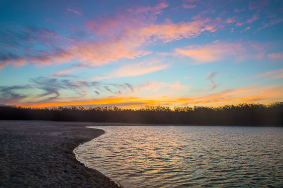 |
17:42 - The last light of day disappears behind the lagoon as the air quickly cools. |
|