This week in South East Queensland
20 - 26 May
THE MASSIVE sand movements from south to north have deposited huge amounts along Australia's east coast north of its turning point at Cape Byron up to Fraser Island. As well as producing the largest sand islands in the world, the strong south east trade winds have built the sand hills up to hundreds of metres high. Moreton Island is known not for being the largest island, but for having the world's highest coastal sand hill towering 285 metres high. During the last ice age it (or perhaps some surrounding sand hills) would have perhaps towered to over four hundred metres above sea level. These towering ranges of sand hills along the Moreton and Stradbroke Islands provides excellent shelter to Moreton Bay forming one of Australia's finest harbours.
Today's hike starts from Blue Lagoon and heads south along the coast to Eager's Creek. From there I take the centre road and the telegraph track up to the summit of Mount Tempest, the world's highest coastal sand hill. From there I return to the beach and continue heading southwards until darkness falls.
Today's Journey
Distance hiked today: 22.6km
Total distance hiked to date: 977.0km
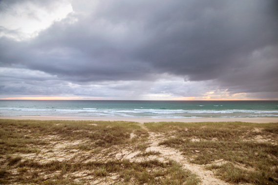 |
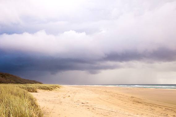
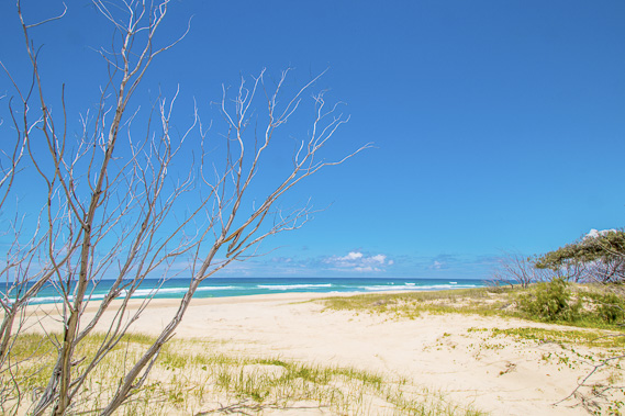
06:07 - Leaving the Blue Lagoon camping ground at first light over a walking track to the beach. The sky is overcast and rain threatens, the last rain before winter arrives. |
 |
06:10 - The cape is still visible, but partly obscurred by the salt haze of the roaring sea. After days of hearing the gentle waves of Moreton Bay lapping on the shore, the constant rumble of indistinguishable waves is a stark contrast. |
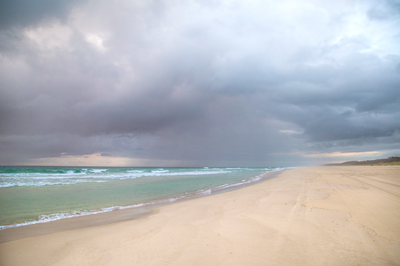 |
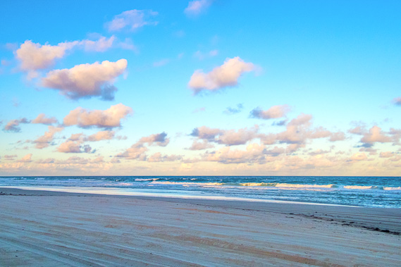
06:12 - Rain falls further south as I start heading along the beach. This is the lingering end of the rainy season which goes throughout autumn and often into early winter. |
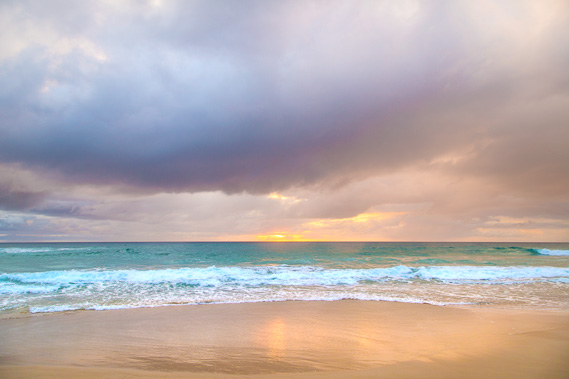 |
06:22 - The sun rises through a tiny gap in the clouds. |
 |
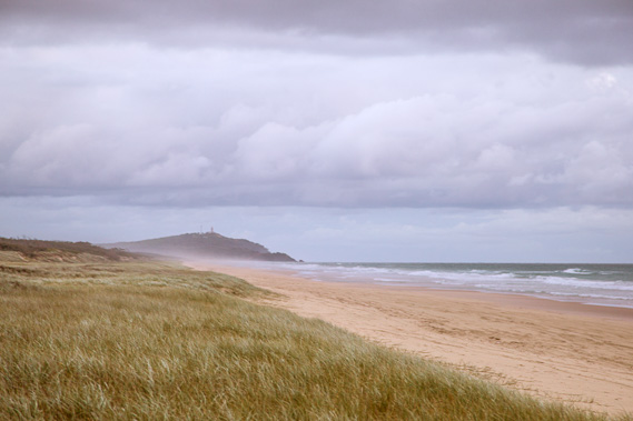
07:01 - The cape slowly disappears in the salt haze as I continue hiking the long beach. |
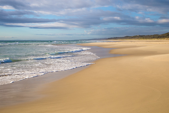 |
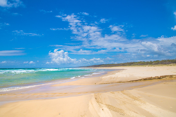
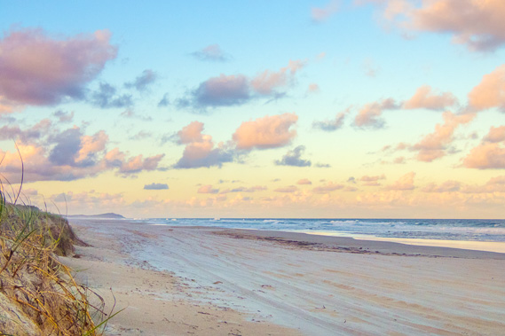
07:28 - The cloud clears to the south revealing the high hills of North Stradbroke Island on the horizon. This leg finishes at Point Lookout, the point to the far left, in another two days' time. |
 |
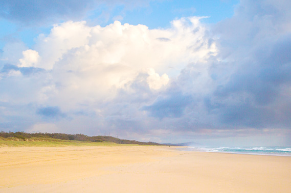
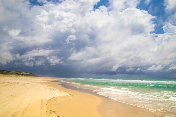
07:31 - Rain clouds move across the coast to the north heading towards the Sunshine Coast. |
 |
07:56 - For a while heavy rain falls around the cape but none falls around this part of the coast. Rainfall at any time of year tends to be very localised, with some areas getting heavy rain, and other areas nearby not getting any at all. |
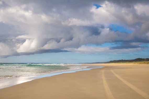 |
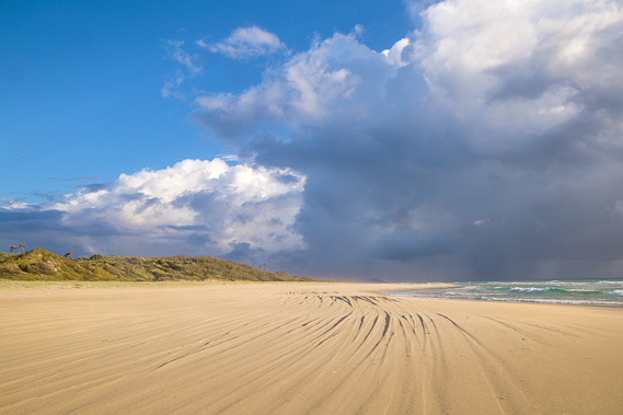
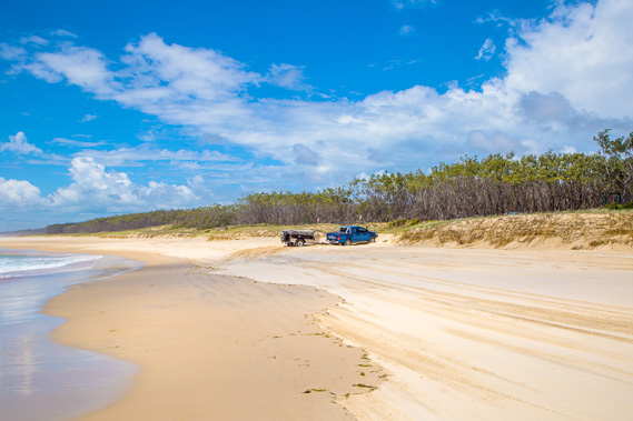
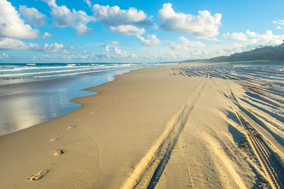
08:30 - I continue heading south along the beach, following the tracks of a four wheel drive vehicle navigating its way southwards before the tide comes in. |
 |
10:02 - The weather looks severe up north yet the sun shines brightly here The sun isn't particularly strong with being only four weeks to the winter solstice, but even at this time of year the sun brings a lot of punch often raising the temperature to over thirty degrees. |
 |
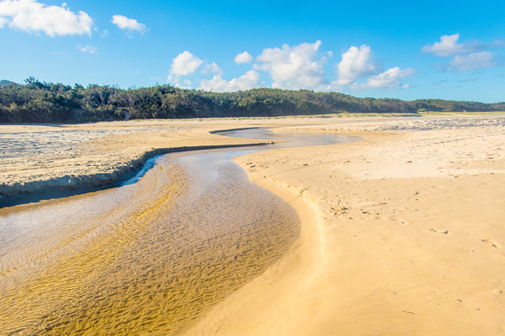
10:14 - Reaching Eager's Creek. There used to be a camping ground beside the swamp where this stream drains from, but closed some years ago. The swamp marks the location where the zircon and rhyolite mine was located. Fortunately the mine proved uneconomic and was closed after a couple of years allowing the forest and swamp to regenerate. |
 |
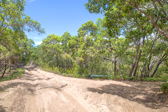
10:23 - A short distance south of Eager's Creek is the entrance to the main road heading eight kilometres across the island to just north of The Wrecks. I passed this point a couple of days ago after leaving The Wrecks camping ground. A vehicle enters the road. |
 |
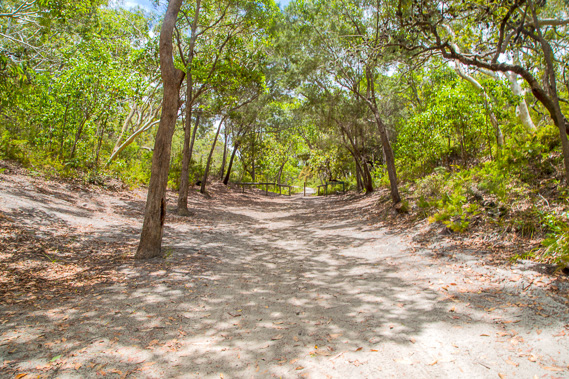
10:41 - I follow this soft sandy road inland for about a kilometre before reaching the old telegraph track. The main road was built to service the mine. The road is actually two single lane tracks running roughly parallel through the forest. |
 |
11:33 - I follow the old telegraph track heading up the bottom of a sheltered valley in the forest until the road ends. The telegraph track was constructed to deliver phone and power from Tangalooma up towards the cape and to Bulwer. |
 |
11:34 - The telegraph track continues past the car park over the nearby saddle before descending then going up onto Howard Range. |
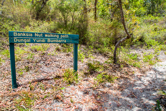 |
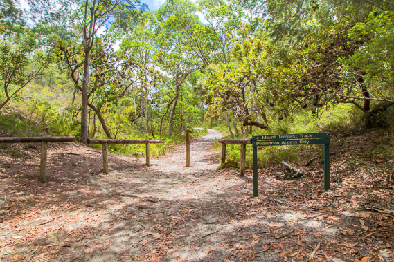
11:50 - I only follow the telegraph track to the top of the saddle from where the Banksia Nut walking path turns off heading towards the top of Mount Tempest. This area was set up as a national park in 1971. Over the years more land was added and now 85 percent of the island is now national park. Only the resort and the villages and lighthouse remain as private land. With the vast majority of the island being national park, the scars of sand mining will never occur here again. |
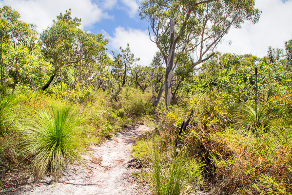 |
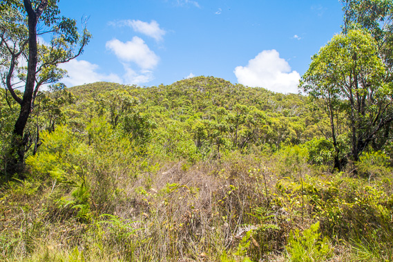
11:54 - I follow the moderate track up the hill passing the banksia nut trees and other food the Aboriginal people would have eaten. A group of Aboriginal people lived here up until about six thousand years ago when the rising sea levels at the end of the ice age flooded what is now Moreton Bay and isolated the island. The island was uninhabited for 4500 years before another small group settled on the southern end of the island living off the forest food and shellfish. |
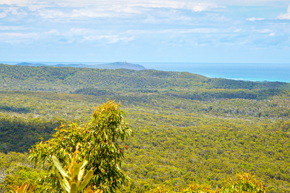 |
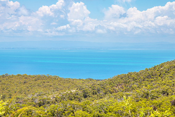
12:02 - View towards Cape Moreton from the track. It is endless forest and dunes in the valleys below. Blue lagoon is just on the other side of the range stretching in front of the cape. The forest seems desolate but there is a large population of wild pigs released by early European settlers to help anyone shipwrecked here to survive. The wild pigs are common to this day, mingling in with the native wildlife. |
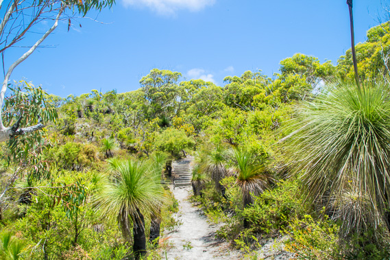 |
12:17 - The sky continues to clear as I pass through the ancient grass trees towards the summit. |
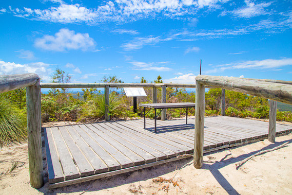 |
12:24 - Platform at the summit of Mount Tempest, the world's highest coastal sand hill standing 285 metres high. |
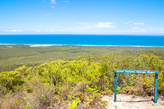 |
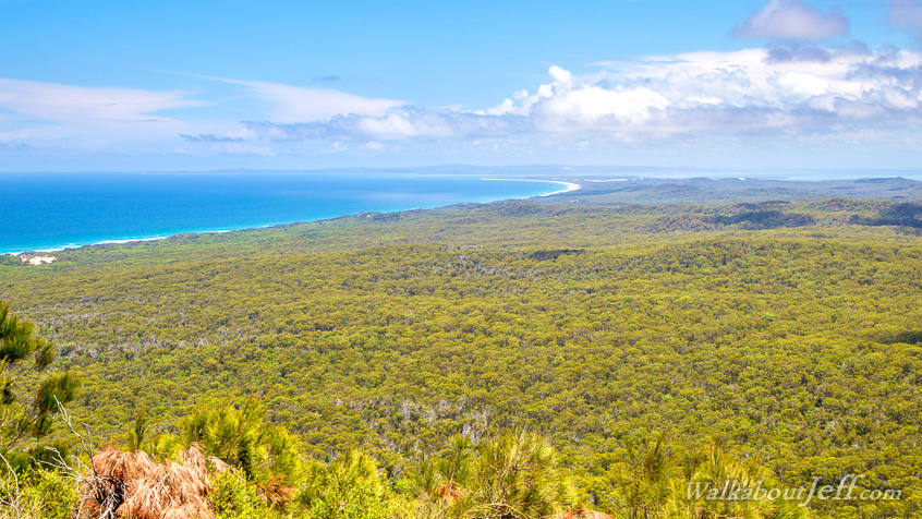
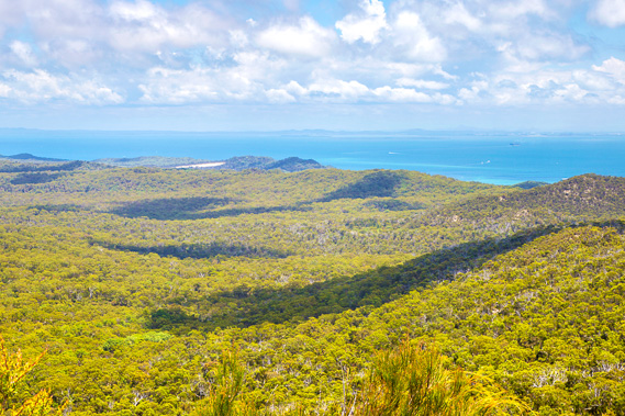
12:25 - View back out to the beach. The beach itself is not visible explaining why I couldn't see the mountain from the coast. To the right above the sign is the old Eager's Creek camping ground, with the nearby swamp being the location of the old mine, now completely healed with natural revegetation of heath. |
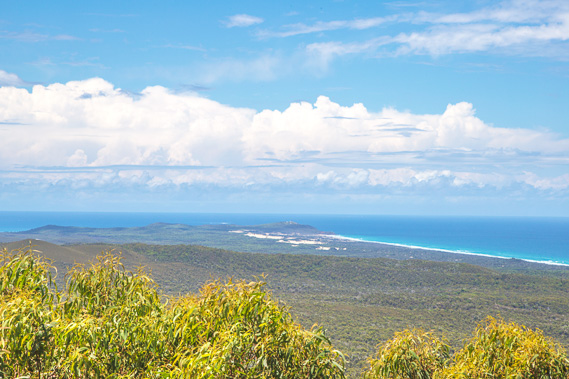 |
12:27 - View northward to the cape, showing the exposed dunes of the northern end of the island, and the hills making up Yellow Patch. |
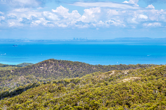 |
12:28 - Zoomed into the city about forty kiometres away. The city is so close, but the island is so isolated being hard to reach and having its own unique ecosystems. Amongst the wildlife here is the very dangerous taipan - a very venemous snake no longer found anywhere else in South East Queensland these days. |
 |
12:29 - Zoomed into Redcliffe Peninsula and Deception Bay. The pale streaks in the water are large submerged sand banks which largely fill the bay. Many boats accidentally go aground navigating their way around these sand banks. The ships coming in and out of the bay have to navigate their way along the main channel that was once the Brisbane River before the melt at the end of the last ice age flooded these plains. |
 |
12:30 - Looking south over the cross road to Tangalooma (at the centre below the sand hills) and Brisbane southside. A long valley extends out between this range of hills, and the sand hills towering above the beaches. The small sand patch visible to the left is known as The Desert, a short walk above the Tangalooma Resort. Part of the Lawrence of Arabia movie was filmed there. |
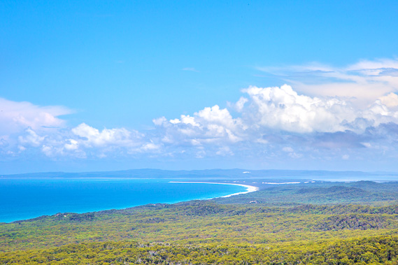 |
12:35 - Looking south to the bottom of the island, where I will be reaching tomorrow afternoon, and across the top of North Stradbroke Island. To the right of the bottom of this island is a long white sand blow. These are the Little Sandhills which stretches most of the way across the island. |
 |
12:46 - Starting the descent down the mountain back towards the beach. |
 |
13:20 - View through from the Telegraph Road moderately decending the bottom of the valley. The forested hill is part of the range extending southwards from Mount Tempest. |
 |
13:50 - I reach the main cross island road and quickly return to the beach near Eager's Creek. |
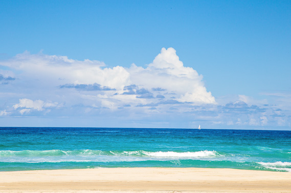 |
14:06 - A yacht sails past heading from the Gold Coast northward. More clouds are coming in. During the three hours I was up the mountain, the tide has come in and started going out again. It is still high, so I rest here at Eager's Creek for a couple of hours. |
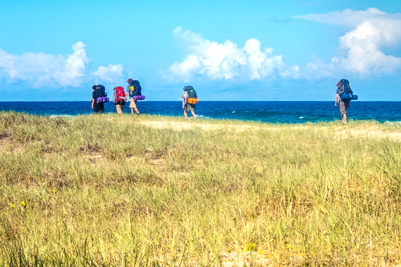 |
14:12 - The tide hasn't gone out much yet, so I rest near Eager's Creek until the late afternoon. Here is a group of hikers coming out from Middle Road doing a trek around the top of the island. They have to walk along the dunes as the tide is still too far in. |
 |
15:26 - I wait another hour for the tide to go out enough to expose the hard sand. Here I take one last look at Eager's Creek before hiking south towards the South Eastern camp sites. Those camping grounds are remote and don't have a water supply, so whilst the tide was still in, I collected enough fresh water from a tap at the old Eager's Creek camping ground to keep me going overnight. |
 |
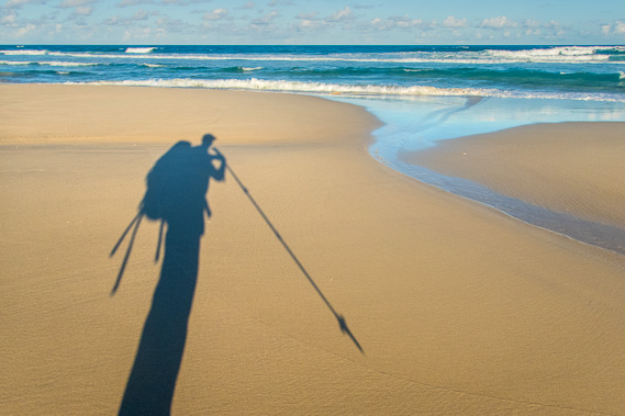
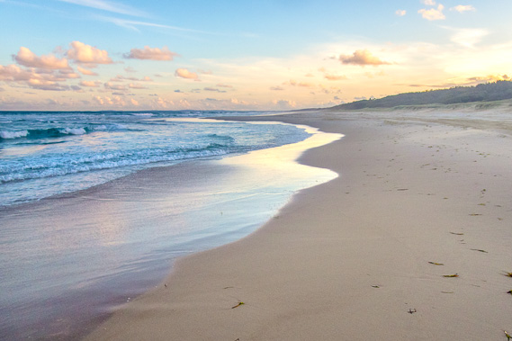
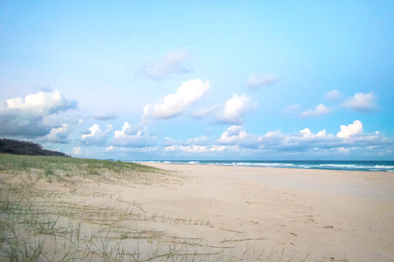
15:57 - The sand is still soft with the tide not having gone out much yet, made harder by the partially buried ruts of the vehicles making a mess of the sand. There are a few four wheel drives parked behind the beach with people fishing and some walking along the beach waiting for the tide to go out a bit further so they can head back to their campsites. |
 |
16:09 - The sun is sweeping lower as I continue along the beach in the late afternoon as the sun sinks towards the hills. |
 |
16:44 - The sun goes behind the dunes and captures the low clouds now brought in by a belated cold sea breeze. The sea breezes are not very strong here as the island is narrow. The breezes are a lot stronger over Brisbane due to the much larger landmass thermal currents rising and drawing the humid air of the bay in. |
 |
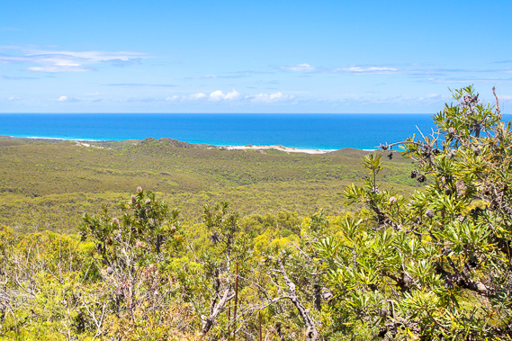
16:45 - The cape is getting small now as I approach the half way point between Cape Moreton and Mirapool Lagoon at the southern end of the island. |
 |
16:50 - It is still a long way to the bottom of the island with the hills of North Stradbroke still only just visible over the horizon. Mirapool would be about seventeen kilometres away. |
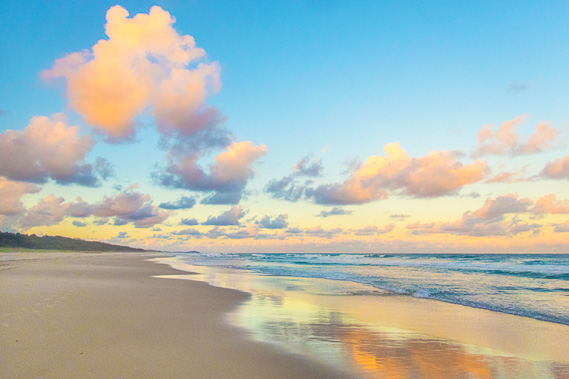 |
17:00 - The setting sun captures well on the clouds and reflects on the wet sand as the cape gets more distant. |
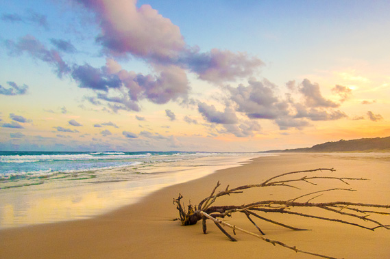 |
17:10 - A washed up tree on the beach just after sunset. The tide is well out now making driving along the beach easier, but you need good lights at night to spot hazards like this. |
 |
17:28 - Reaching the first of the campsites in the remote south eastern beach. The sky is getting dark so I need to find a vacant campsite soon. |
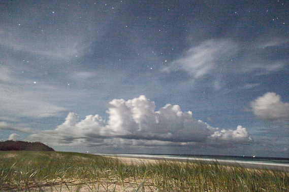 |
18:44 - I find a campsite and set up as the sky totally darkens. Once set up I look back towards the cape from in front of my camp. The stars are shining brightly between the clouds. The lighthouse at Cape Moreton is visible in the distance. Several fishing boats are working off the coast to the right. |
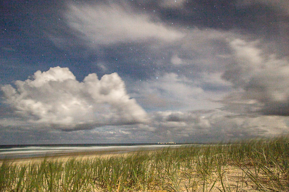 |
18:45 - Looking south to the lights of Point Lookout on North Stradbroke Island where I hope to reach in two days at the end of this leg. |
|