This week in South East Queensland
3 - 9 June
WHILST there are still a couple of weeks to the shortest day of the winter solstice, this week marks the earliest sunsets thanks to Earth's slightly elliptical orbit around the sun. This week the sun is setting at around 5:00. People working this week would be leaving work just as the sun sets, but the short evening twilight will ensure the sky is completely dark by the time they get home.
Today's hike takes me from Mirapool down to the bottom of Reeder's Point, from where I head over South Passage back to North Stradbroke Island. From there I head across Flinder's Beach, over headlands between Cylinder Beach, Deadman's Beach and Frenchman's Bay to Point Lookout from where I watch the sunset looking down what will be the final leg of this trek.
Today's Journey
Distance hiked today: 15.5km
Total distance hiked to date: 1009.8km
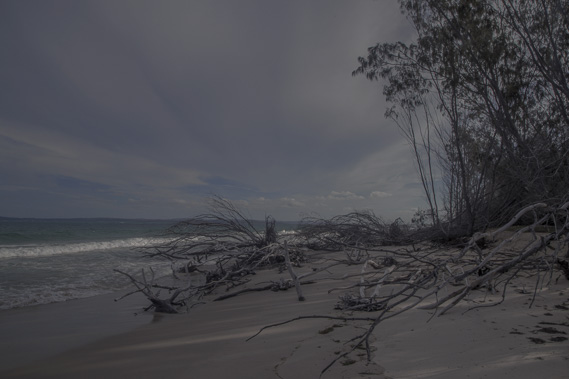 |
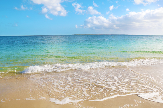
05:47 - Leaving Mirapool under moonlight heading along the coast. This was initially an obstacle course with the eroding coastline covered in trees falling into the sea. |
 |
06:13 - Heading down the beach towards Reeders Point as the fire of first light appears on the eastern horizon behind me. |
 |
06:28 - The sun about to rise behind distant high cloud in two minutes. |
 |
06:48 - The sun rises brilliantly over the waves covering the sea and sky with gold. |
 |
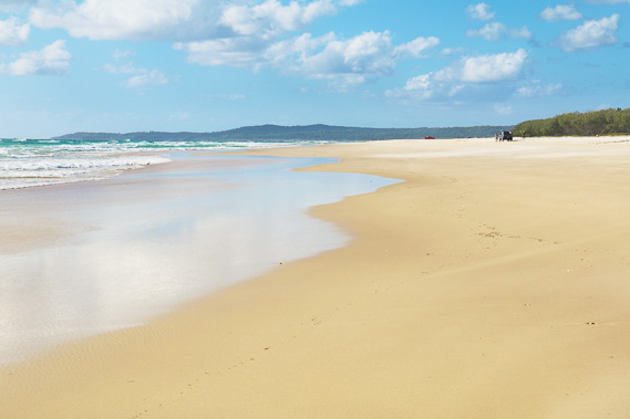
07:07 - Looking across to North Stradbroke Island at the pickup point at Reeders Point, almost the same place where I landed on this island eight days ago. From here I head back over to Straddie and follow its northern coast across to Point Lookout in the distance to the left. |
 |
07:27 - Crossing South Passage towards Amity Point. We follow the deep channel cutting back towards Amity Point to avoid the rough waters over the submerged sandbanks between the islands. |
 |
07:33 - Looking the other way to the west shortly before arriving on North Stradbroke, I get my last glimpse at the Brisbane CBD zoomed in the distance. |
 |
08:14 - Arriving at Amity Point a kilometre or two around the coast from the port where I passed eight days ago. This is looking back towards Moreton Island, looking really small from here. From this pointy ended view it's hard to believe it took eight days to hike around. |
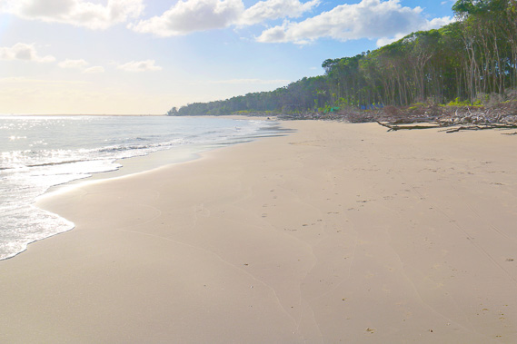 |
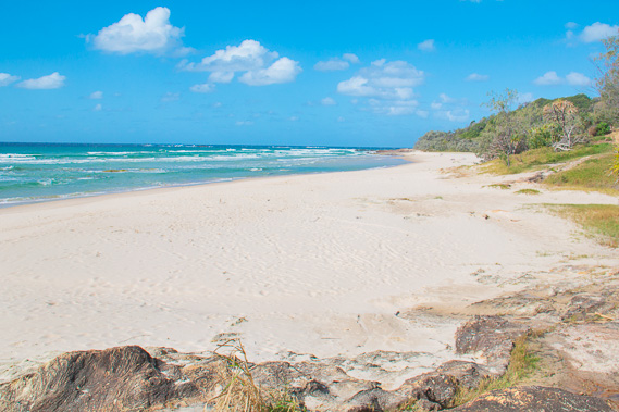
08:24 - I start walking towards Reeder's Point, along this final day of this leg across the top of North Stradbroke Island, which is essentially a continuation of Moreton Island's main beach, broken only by South Passage. This part of the beach is closed to traffic, so this is a peaceful mid morning walk. |
 |
08:32 - Looking back to Amity Point, seeing the recent erosion of the forest as the channel across South Passage changes eroding both islands. |
 |
08:42 - Heavy swell breaking on the submerged sand bars of South Passage. No wonder there have been numerous shipwrecks here. |
 |
08:48 - Following around Reeders Point at the start of where vehicles can drive, so my peace is over. The Point Lookout Volcano is now coming into view. |
 |
08:50 - First view towards Point Lookout across Flinder's Beach as a strong head wind sand blasts me from the south east. This is probably the last of the prevailing winds to blow before winter closes in. Flinders Beach is named after Matthew Flinders, who first landed on the island in 1803. |
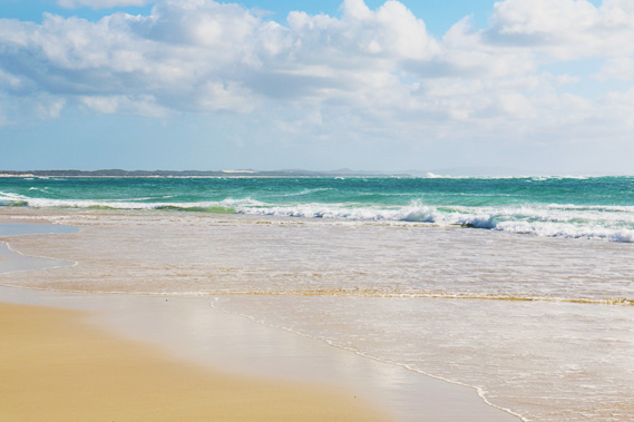 |
08:55 - Looking back to Moreton Island over the rough seas of South Passage. It's amazing what a difference a kilometre makes. My route across the passage was quite calm. In the distance I can see the Little Sandhills, and can just make out Mount Tempest through the salt haze. |
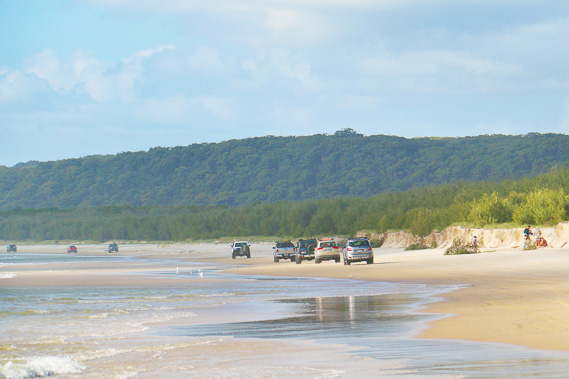 |
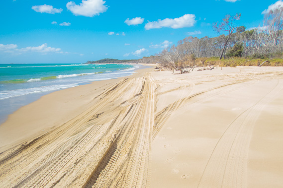
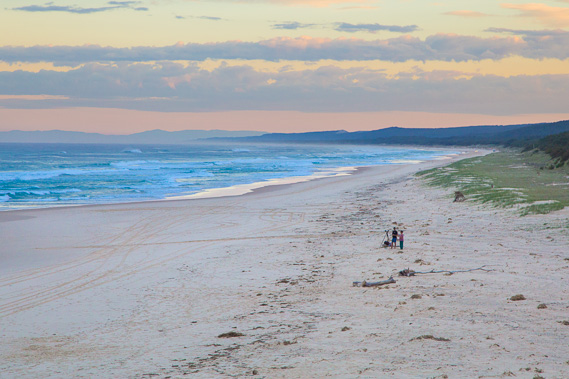
09:13 - Flinder's Beach is very busy with a convoy of vehicles travelling towards the other end of the beach before the tide gets too high. |
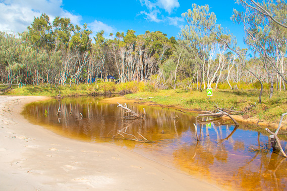 |
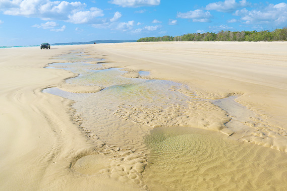
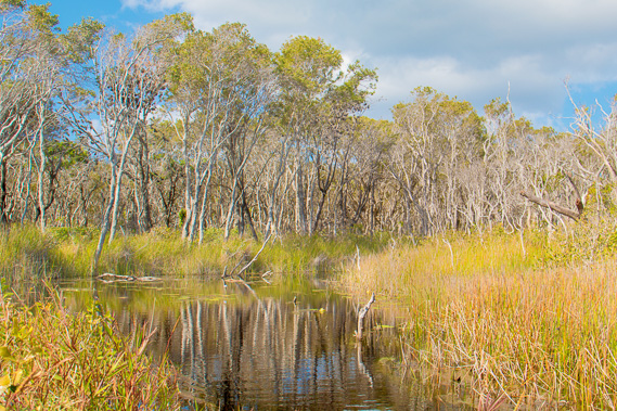
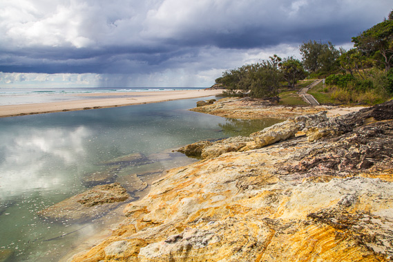
10:26 - I reach the first of several fresh water streams flowing out of the forested swamp to the sea. The sand bank holds back the water and the swampland stretching through the uninhabited forest. |
 |
10:48 - Another large stream held back by a sand bank. This stream is filled with pumice from an offshore eruption several years ago where a cubic kilometre of pumice floated to the surface, and some drifted here. |
 |
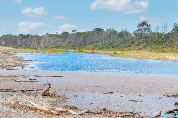
11:11 - The deep channel of the stream is held back by the sand bank. When it rains heavily, the water rises enough to dig a deep channel through a low point on the dune allowing the channel to clean itself out and deepen until the tides wash the sand back. This is where the channel turns inland into the wetland forest swamp. |
 |
11:32 - The tide is in now, and the road tracks are deep making this final section of beach quite difficult to hike along. |
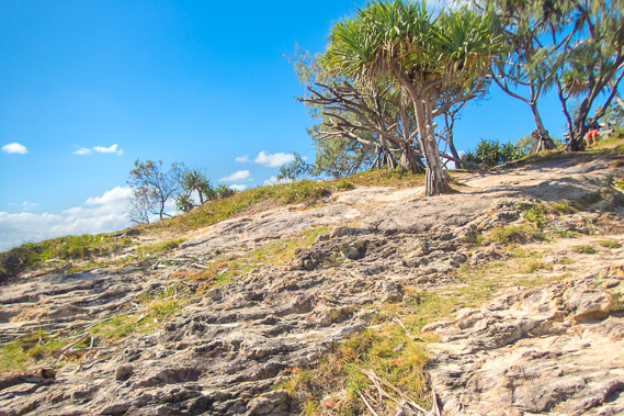 |
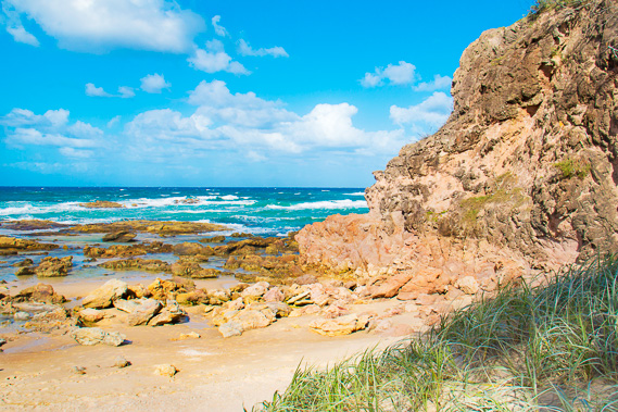
11:58 - I reach the end of Flinder's Beach and follow a rough track across the headland. The Point Lookout town starts nearby so it will become more crowded from now on. This is the first solid rock I've seen since Cape Moreton, the start of another 22 million year old volcanic cone holding this island together. |
 |
12:00 - Final view along Flinder's Beach from the track, seeing how far I've come across the top of the island. |
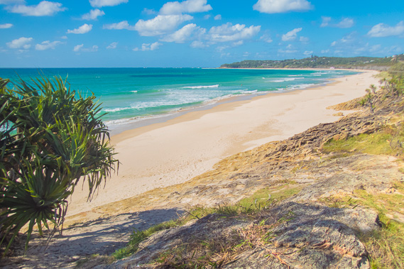 |
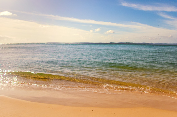
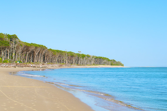
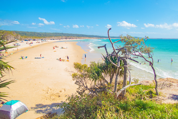
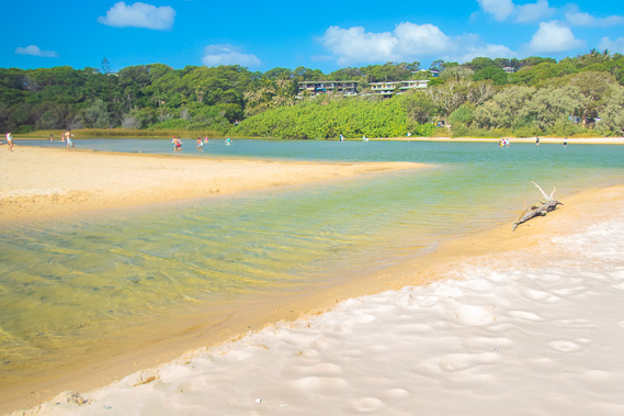
12:03 - Looking into the beautiful Cylinder Beach, which I will need to walk its length followed by a couple of smaller bays before reaching Point Lookout. Cylinder Beach was named after the acetylene gas cylinders dropped off here for lighting the construction site of the Point Lookout lighthouse around 1932. |
 |
12:19 - Walking along Cylinder Beach as ominous clouds appear from the south east. |
 |
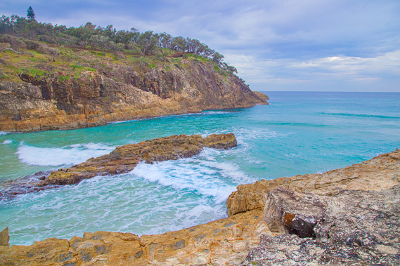
12:44 - Crossing the first of a volcanic outcrop around the back of a small estuary. |
 |
13:05 - I cross a very shallow part of the lagoon but if quickly deepens as I approach the headland at the end of Cylinder Bay. |
 |
13:10 - View back along Cylinder Bay as the cloud quickly covers the sky. |
 |
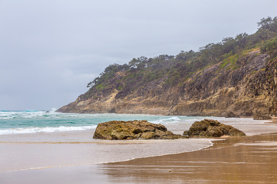
13:16 - Reaching the small Deadman's Beach as the sky darkens. It is named for a cook who fell overboard a ship and his body washed ashore here. |
 |
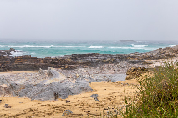
13:29 - Interesting volcanic landforms as I reach the other end of Deadman's Beach. |
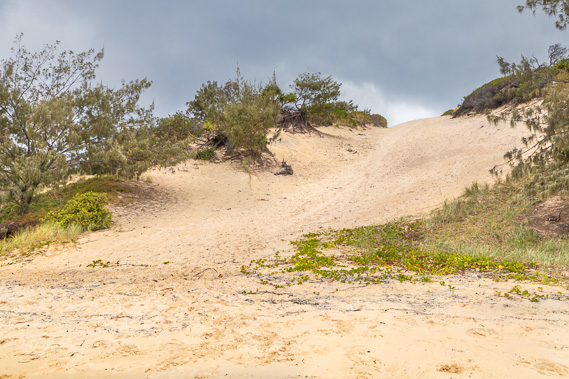 |
13:33 - A sand blow at the end of the beach just before the rain starts falling. |
 |
13:46 - The rain falls heavily as I seek shelter under a tree at the headland at the end of the beach. |
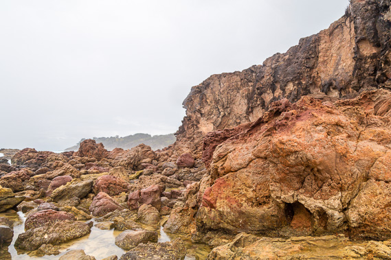 |
14:03 - The rain quickly clears allowing me to progress. The volcanic headland between Deadman's Beach and Frenchman's Beach. |
 |
14:15 - Going over the bluff reaching Frenchman's Beach. |
 |
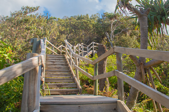
14:28 - Walking along the beach, I approach Point Lookout, but the cliff is inpenetrable. |
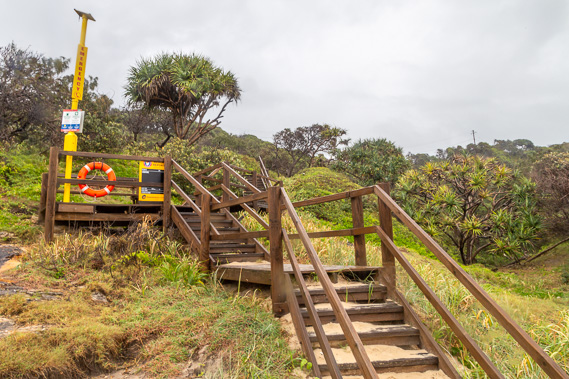 |
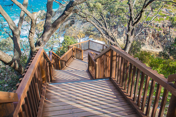
14:35 - Fortunately there is a wooden stairway leading up off the beach to the Point Lookout village. |
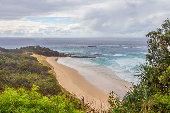 |
14:44 - View back along Frenchman's Beach from Point Lookout Road as the weather begins to clear. |
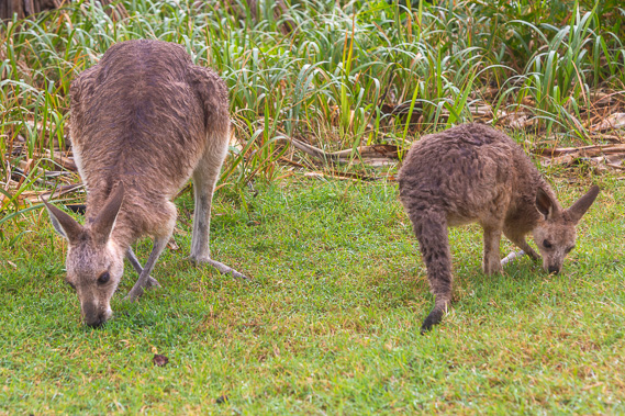 |
15:00 - A couple of wallabies at Point Lookout. Wallabies and kangaroo are very common here, so I'm hoping to find some kangaroos as I follow the coast southward. |
 |
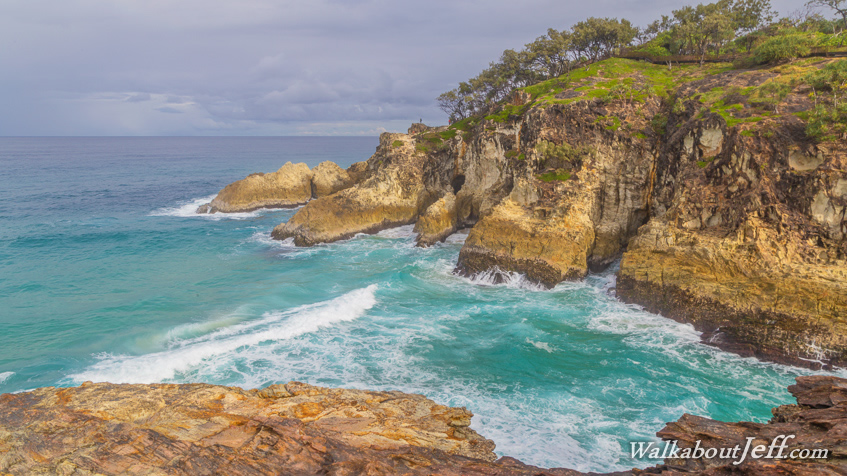
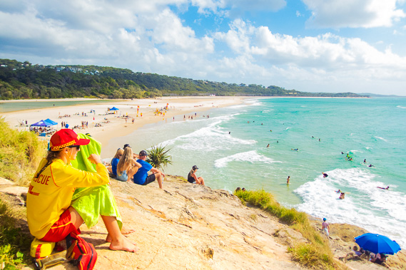
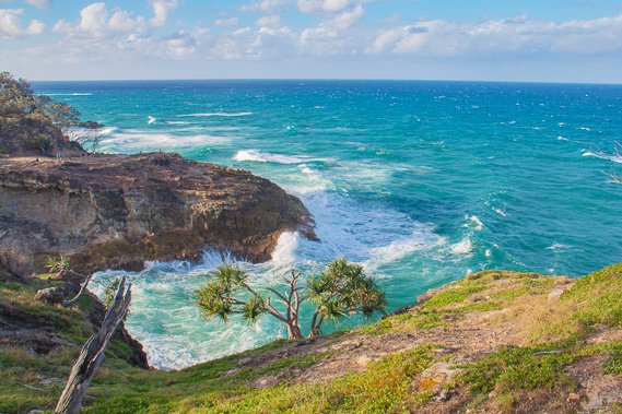
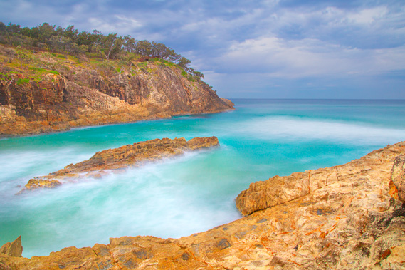
15:13 - Waves pounding into The Gorge viewed from the boadwalk. This was once a small volcano but has long gone extinct and heavily worn by the exposed sea. |
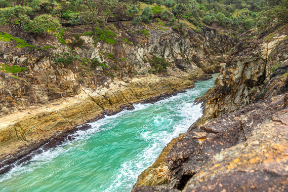 |
15:21 - Looking up The Gorge above which the boardwalk follows. |
 |
15:38 - On the other side of The Gorge now heading towards Point Lookout. |
 |
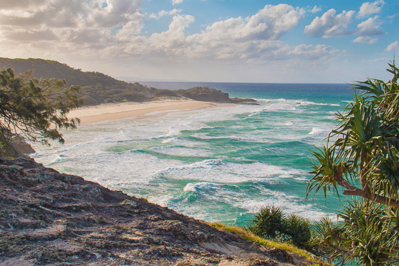
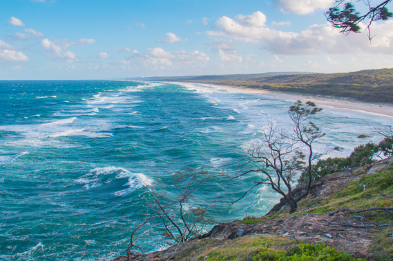
15:49 - Looking out from Point Lookout over the Coral Sea. This is one of the easternmost points of Australia, but not quite as far east as Point Danger where this trek ends. |
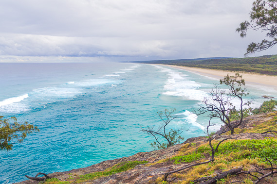 |
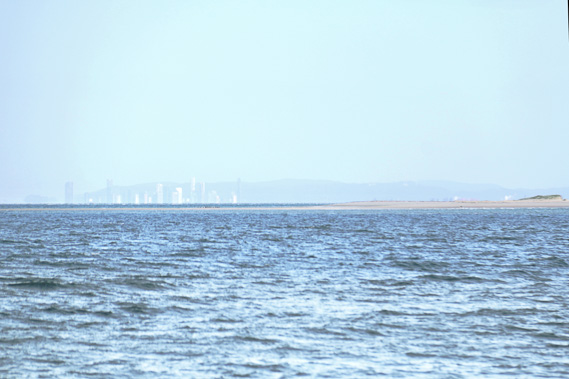
16:04 - Heading off the point, I can see along the Stradbroke Main Beach towards the Gold Coast. There are no natural headlands between here and Gold Coast City. The misty rain obscures the view of the city which would just be visible from here on a clear day. |
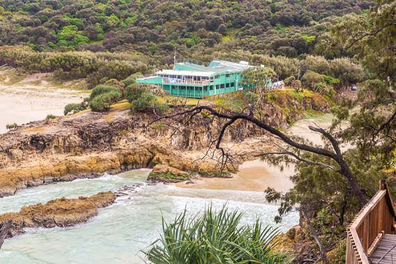 |
16:07 - The Stradbroke surf club on the next headland. |
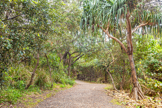 |
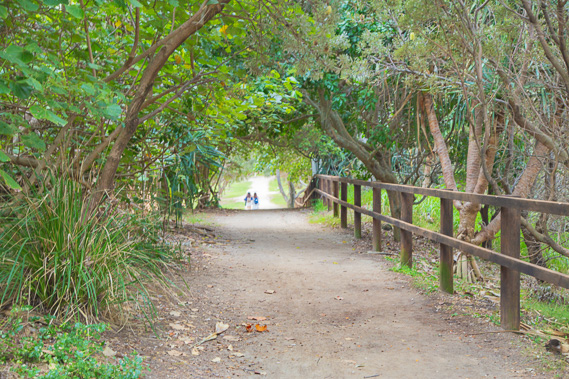
16:12 - Track through the bush heading back to the village and onto the surf club. |
 |
16:31 - Reaching the town centre, a boardwalk track drops towards South Gorge under the surf club. |
 |
16:41 - The little beach of South Gorge between the surf club and Point Lookout. |
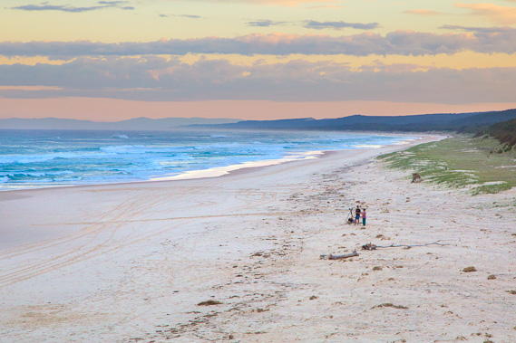 |
16:43 - I'm not the only photographer capturing the sunset. Already the swell is reducing with the wind having died down two hours ago. I can see down the beach with the blue sandhills towering over the island. In the distance are the pale blue mountains of the Tweed Volcano behind Gold Coast city. |
 |
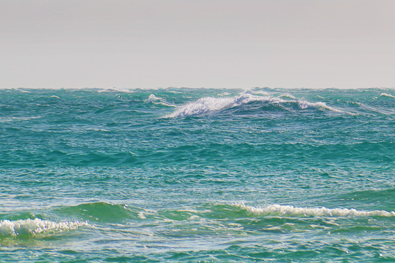
16:47 - Big waves breaking into South Gorge between the rocky headlands. |
 |
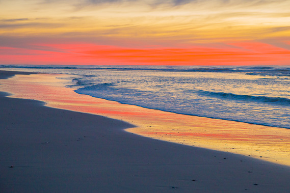
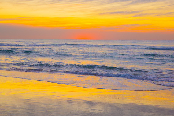
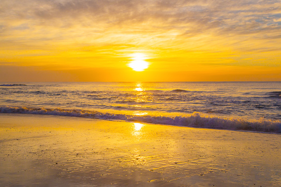
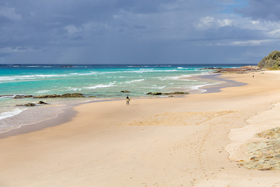
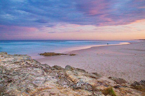
16:57 - A surfer braving the big swell as the sun sets. At the end of this week is the earliest sunset at of the year at 4:58PM in Brisbane and 4:57 on the Gold Coast. We haven't reached the shortest day yet, and the morning sunrises have several more weeks of getting later. People finishing work in the cities would be leaving just at sunset and getting home after dark as it does get dark very quickly. |
 |
16:59 - Looking back up South Gorge towards the main town of Point Lookout almost completely obscurred behind the rocks. |
 |
17:11 - Long exposure shot of Point Lookout and South Gorge. |
 |
17:31 - Heading to the main beach briefly at last light before heading back up to my accommodation in the village. |
|