This week in South East Queensland
15 - 21 April
EASTER is approaching, the longest long weekend outside the Christmas period. Easter is a strange holiday as it varies from year to year depending on the patterns of the full moon. For these remote islands, this also marks the busiest time of year as Christmas is considered too hot for a beach camping holiday. The climate has cooled off substantially by this time of year making conditions very pleasant. This is when the islands are most crowded, and the bay is filled with yachts competing in the Brisbane to Gladstone yacht race.
Today's trek takes me from Amity Point, crossing over the channel to the bottom of Moreton Island. From there I hike through Kooringal following the soft sandy road to where it returns to the coast at Little Sandhills. From there I continue following the coast up to the camping ground just past Big Sandhills.
Today's Journey
Distance hiked today: 13.0km
Total distance hiked to date: 896.6km
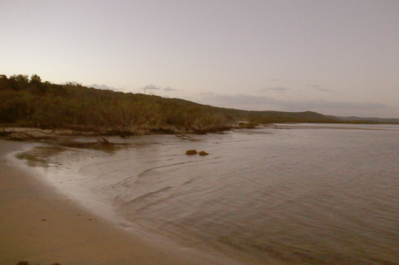 |
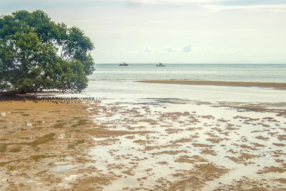
05:33 - First light looking back along the coast where I had hiked yesterday. The tide is already coming in and has covered much of the vast sand banks I had explored yesterday. |
 |
05:43 - Looking further up the beach and a small part of Moreton Island before returning to the camping ground to pack up. |
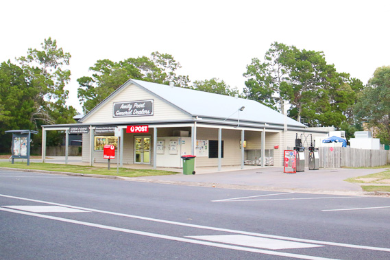 |
05:58 - The general store at Amity Point as I follow the road to bypass a few large residential waterfront homes exploring the small town before my boat arrives. |
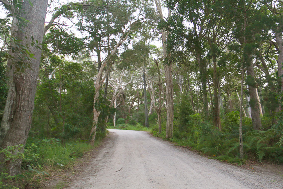 |
06:03 - I return back along the gravel road through the tall forest towards the small port as the sun rises over the other side of the island. |
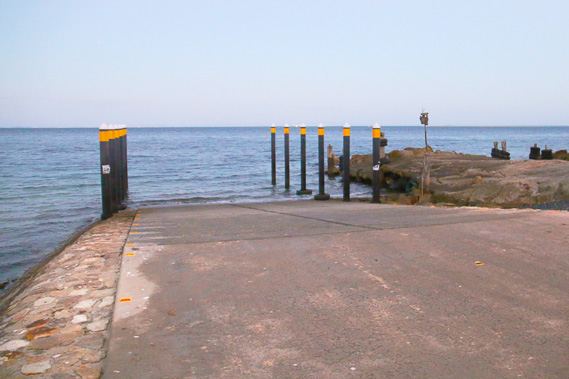 |
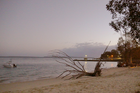
06:15 - The boat ramp at the Amity Point port where I wait for the little boat to come and pick me up taking me across to Moreton Island. |
 |
06:31 - Heading out into the choppy water of South Passage in the cramped boat. By the time I can take pictures I'm already just clear of the northern coast of North Stradbroke, looking from the deep channel between the islands across dangerous barely submerged sand banks where the rising sun is hiding behind clouds. |
 |
06:33 - Looking up the channel to the low southern end of Moreton Island as a gentle swell rocks the boat. South Passage was the main entrance into Moreton Bay between 1824 and 1850 when a safe deep water passage was found along the former path of the Brisbane River in the bay's northern entrance in between the submerged sand bars. South Passage was largely abandoned following the wreck of the Sovereign in 1847 and 44 people were drowned, and buried on Moreton Island. |
 |
06:39 - The channel closely approaches the hidden sand banks over which large waves from the ocean swell are breaking. This is the only brief glimpse of the swell I'll have until reaching the top of Moreton Island in three days. |
 |
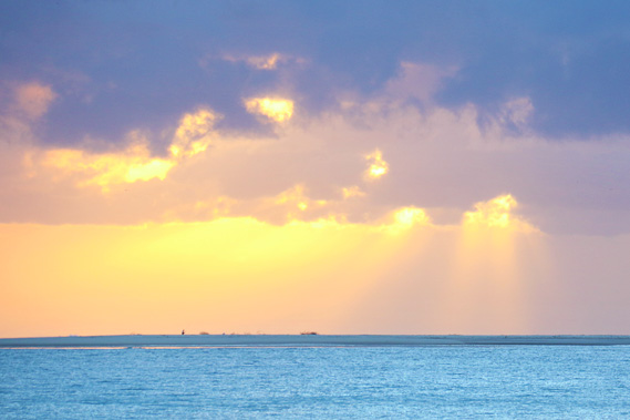
06:45 - A rain cloud in the distance crossing the middle of Moreton Island. |
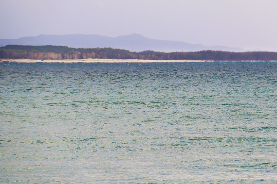 |
07:06 - I'm now getting closer to the beach at the southern end of the island. The spectacular Mount Tempest and Howard Range are just visible near the top of the island. These are considered to be the tallest coastal sandhills in the world - even taller than those on the Cooloola sandmass. I hope to explore them when I reach the other end of the island. |
 |
07:12 - Getting close to Reeders Point as the clouds clear. This is where the southern Kooringal Trader lands on the island having navigated its way across from Victoria Point. It experienced a full kilometre of erosion between 1935 and 1975 and the erosion seems to be continuing. |
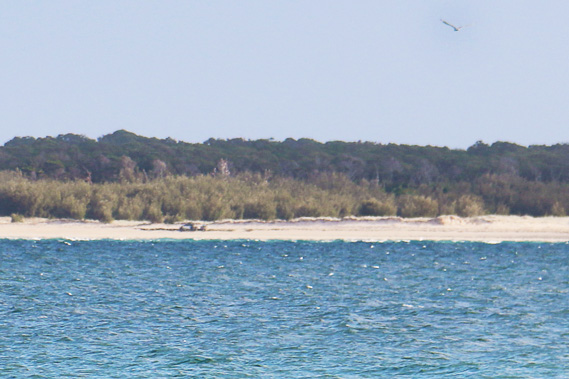 |
07:19 - Approaching what appears to be a remote beach in the middle of nowhere, but this is the barge landing point and a sand road leads from this towards Kooringal, one of the island's settlements. We land there a couple of minutes later and I set off straight into the forest along a single land sand road towards Kooringal. |
 |
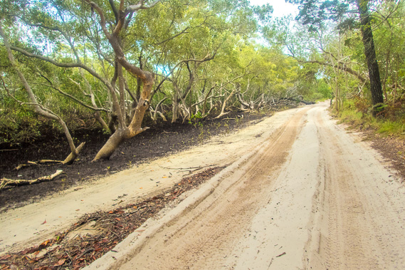
07:56 - Following the road past The Gutter as I approach Kooringal. This is a sheltered anchorage for small boats servicing the village. This is the remains of what had once been a lagoon housing an aboriginal population until they were massecred in 1833. The last remaining aborigines on the island were forcibly relocated to North Stradbroke Island in 1850. |
 |
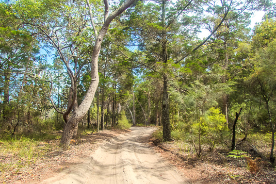
08:14 - The sand road. All the roads on Moreton Island are sand, so only four wheel drive vehicles can be transported here. The sand gets very soft in prolonged dry spells making driving a little precarious and hiking quite difficult. |
 |
08:28 - The apparently world famous Gutter Bar. Given the remoteness of this location, I'm struggling to understand how it could be world famous. Nearly everyone coming over to Moreton Island (apart from the resort) are locals. |
 |
08:43 - At the top of The Gutter in the residential area of Kooringal. From here I can see up the coast to Shark Spit which I will be rounding sometime tomorrow morning. It was originally called Day's Gutter after Frank Day who was the old man or Moreton Island. Kooringal was established around his old property in the late 1960s as the island's largest township. |
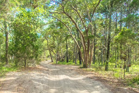 |
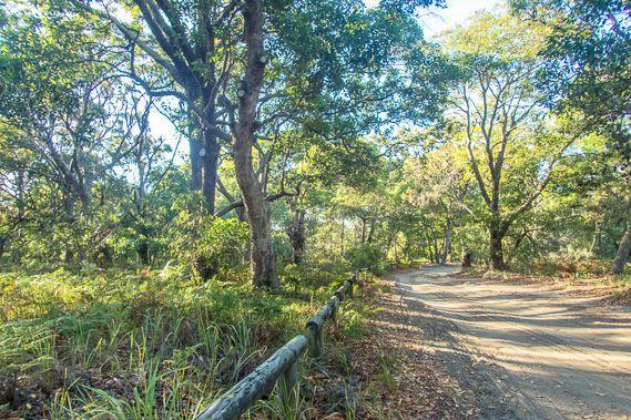
08:54 - From Kooringal, a soft sand road heads through the eucalypt forest, so I follow this road instead of negotiating my way around the mangroves of Crab Island. Although the sand is soft and difficult to walk on, progress is a lot faster. |
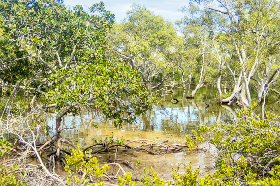 |
09:06 - View of mangroves from the road. It's definitely an obstacle course, and I've seen enough of those over the past three days heading up the North Stradbroke Island coast. |
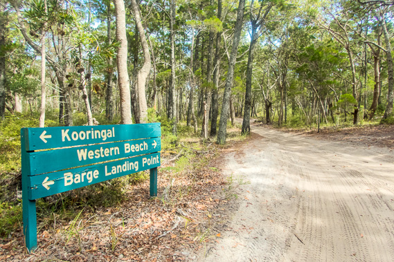 |
09:10 - Reaching a junction (the last I will see for a very long time). I continue along the road before reaching another junction where the western beach road turns off and I continue following this road up the east coast. |
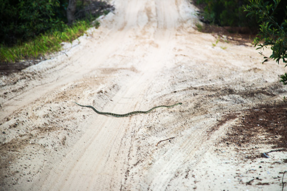 |
09:13 - A non-venemous carpet snake lethargically crosses the road. These nearly always live in the trees so it is a surprise to see it here on the road. Usually it is only the venemous snakes which are ground dwelling, such as the brown snake, and also the taipan, which occur on this island. I hope I don't see any of those as they are dangerous. |
 |
09:31 - The road continues for a long way through the forest, with the occasional four wheel drive and even a quad bike passing through. |
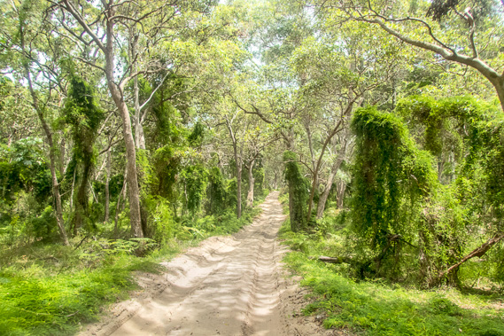 |
10:39 - Eventually the forest thickens with climbing vines as I reach the shelter of crab island. There is less salt in the air here allowing more sensitive plants to thrive. |
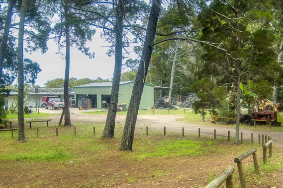 |
10:47 - Reaching the Toulkerrie Oyster Farm, which the road bypasses around the back of over the sand hills. |
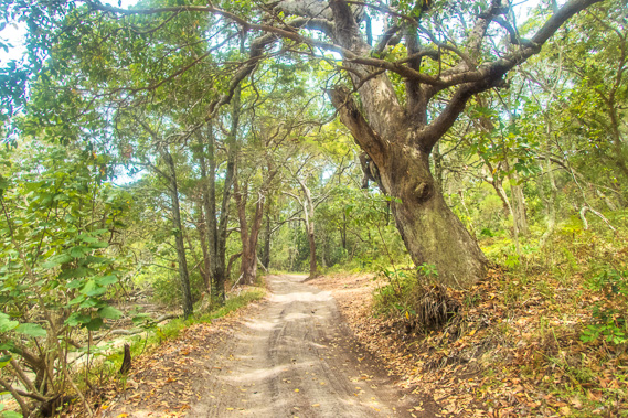 |
10:55 - The trees are often ancient and gnarled in this mostly untouched forest. |
 |
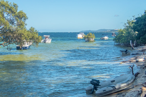
11:11 - Eventually the road returns to the coast, and runs along the sandy beach between the eucalypt forest and the mangroves for a couple of kilometres. The sand is quite soft through here making for slow progress. |
 |
11:51 - This part of the road seems endless but fortunately there aren't too many vehicles on it. The tide has passed its peak so some vehicles are coming through. Most vehicles don't come to this part of the island due to its difficult access. |
 |
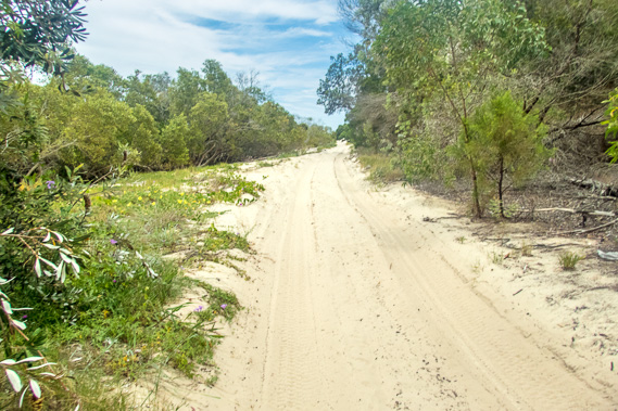
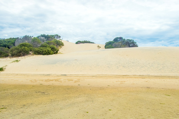
11:55 - Reaching the first of the Little Sandhills. These sand blows stretch almost the entire width of the island. I keep to the high tide level though as more vehicles pass through. |
 |
12:00 - The road continues for quite some distance passing the Little Sandhills. Although they are fairly short, they are anything but little. The sand is blown across the island to be deposited here. |
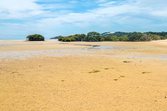 |
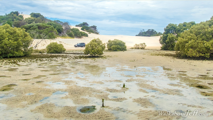
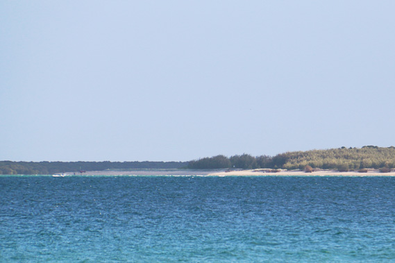
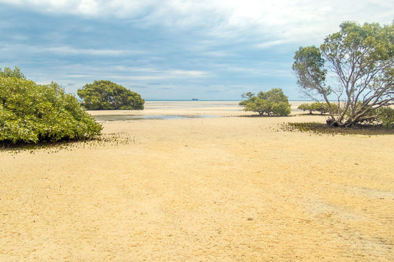
12:02 - The mangroves clear in front of the Little Sandhills with the view up to Shark Spit once more. Big Sandhills is visible on the highest peak to the centre right. This is where I am aiming for tonight. The tide has already gone out quite a long way over this vast sand bank, similar to the one I had followed yesterday. |
 |
12:03 - Little Sandhills viewed from the sand flats. The sand on the sandhills is very soft making climbing quite difficult. I rest here for lunch under the overcast sky. |
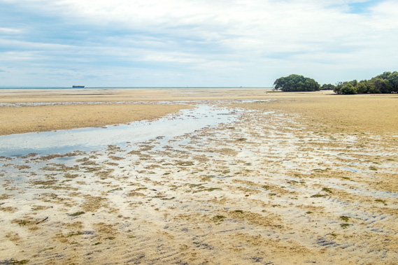 |
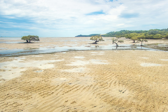
13:06 - I head out onto the sand flats, but the sand here is a lot softer than it had been on North Stradbroke, so I return to the road. In the distance a ship heads across the bay from the mouth of the Brisbane River, following the deep submerged channel the river had followed during the last ice age. The river at the time had crossed most of the way across the bay before turning towards Bribie Island. |
 |
13:07 - Continuing past the rolling Little Sandhills. |
 |
13:11 - The sweeping sand flats with mangroves dotted over them. In the distance I see a ship setting off from the Port of Brisbane. They can only depart the port at around high tide, so this would be the last of the ships leaving today. |
 |
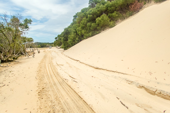
13:17 - Continuing to follow the edge of the sand flats passing stunted mangroves as I head towards Big Sandhills which are now just visible. |
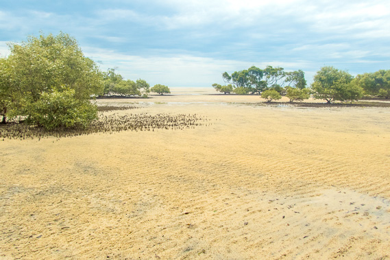 |
13:40 - Another view across the sand flats as I follow the very long soft road. |
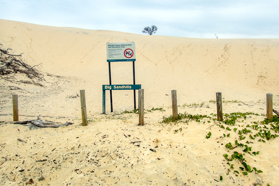 |
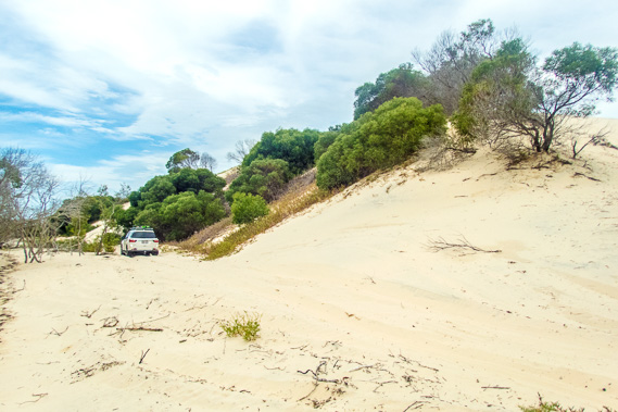
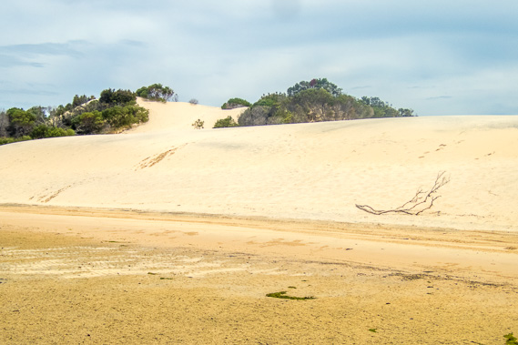
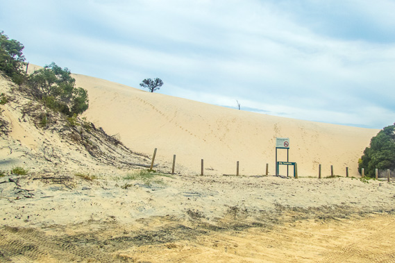
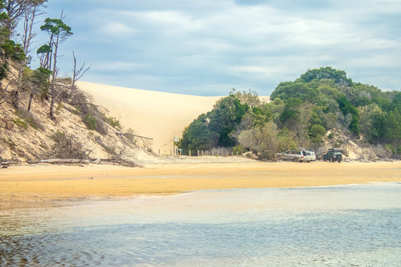
14:05 - I finally reach Big Sandhills. This is a single enormous sand blow. It is actually a lot smaller than the Little Sandhills, but stands quite a lot higher and is clearly visible from coastal Brisbane on a clear day. |
 |
14:06 - From Big Sandhills I head towards the camping ground just under a kilometre away. |
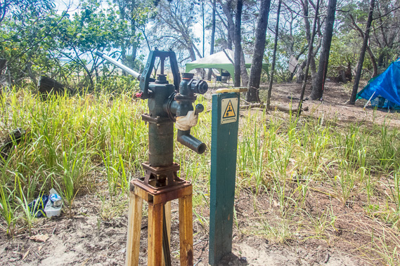 |
14:15 - The water supply at Big Sandhills. The pump is rusted and the water very brackish. Fortunately I have been carrying a good water supply with me, so I don't need to take any of this water. This isn't a good start, but fortunately the water supplies in all the other camping grounds on the island are fine. I set up my tent in one of the numerous campsites here. |
 |
15:28 - Looking from the camping ground up towards Shark Spit. |
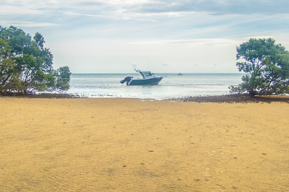 |
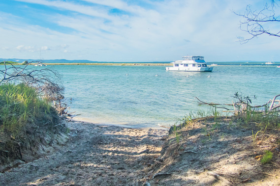
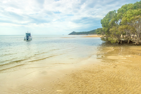
15:30 - A boat moored off the camping ground. This is the easy way to get here. Most people use four wheel drive vehicles to get around the island. |
 |
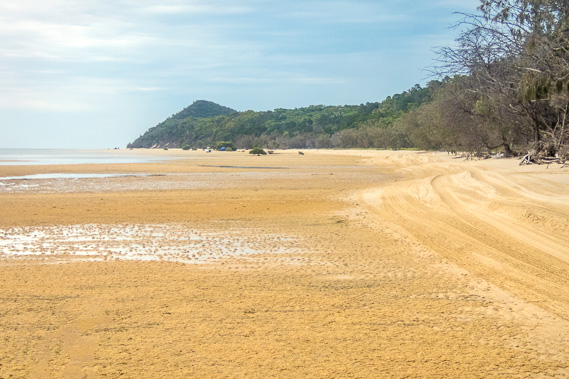
15:36 - The tide draws in over the late afternoon, soon to isolate this part of the coast. |
 |
16:08 - People are still parked at Big Sandhills to go sand tobogganning. |
 |
16:39 - As the afternoon draws on, the tide continues to come in and the beach road is no longer accessible by vehicles. This fortunately makes the beach very quiet. |
 |
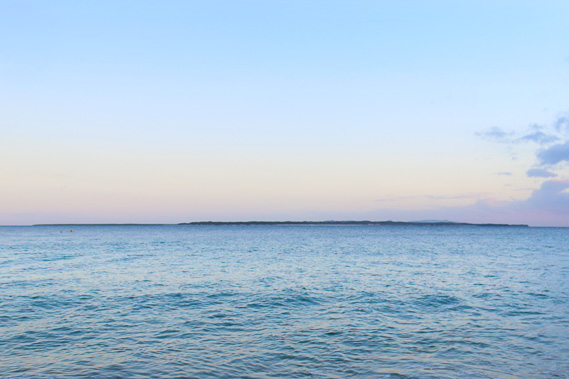
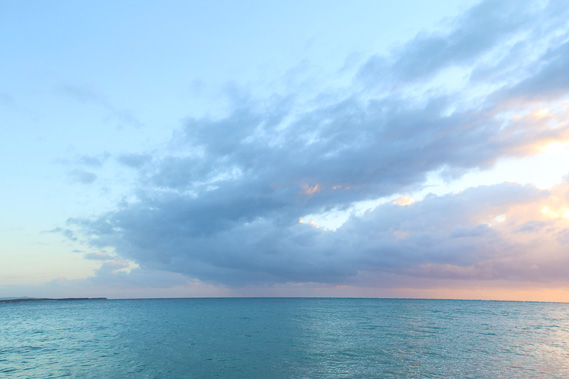
17:25 - Thick cloud covers Brisbane making the other side of the bay invisible and hides the sun now setting. The bay has significantly widened over the past two days making the city barely visible only when the weather is clear. |
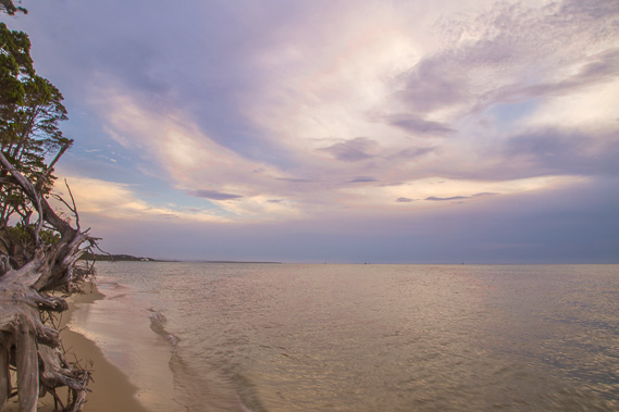 |
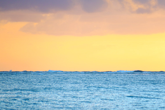
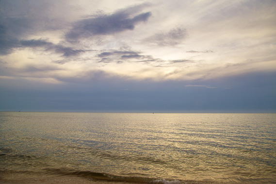
17:47 - The high cloud lights up after the sun sets. I look down the now almost non-existent beach along the coast. North Stradbroke Island is only just visible in the far distance. |
|