This week in South East Queensland
8 - 15 July
QUEENSLAND declared its independence from the New South Wales colony in June 1859. At the time it was a long way up the coast, and the fastest mode of transport was by sailing ship, taking a good week to get from Sydey to Brisbane. As part of the independence agreement, the border between the states was set up from Point Danger, heading inland following the northern rim of the Tweed Volcano caldera before continuing inland. Each state ended up having its own independent laws and in summer, different timezones.
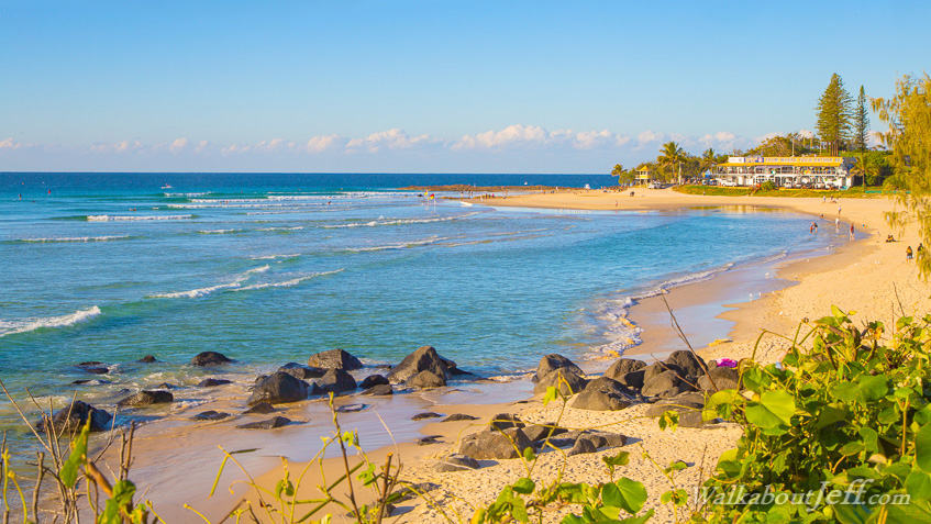
Today's hike begins at Burleigh Head from where I spend the morning hiking along the beach down to Currumbin Head. In the afternoon I continue from the head along the long sweeping beach to Coolangatta and up to Point Danger at the Queensland/New South Wales border where I come full circle completing the trek.
Today's Journey
Distance hiked today: 22.1km
Total distance hiked to date: 1115.6km
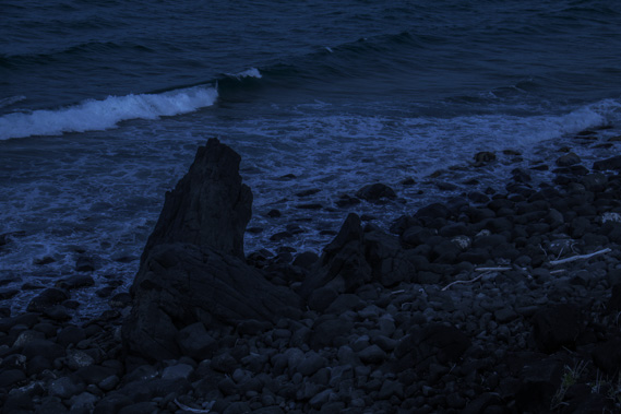 |
05:08 - Walking around the coastal track in the fading moonlight half an hour before the first light of dawn. |
 |
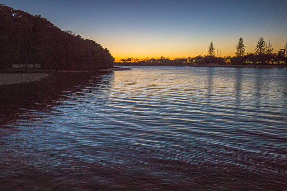
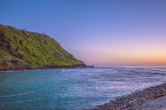
05:36 - The track swings around the front of the headland to above the mouth of the Tallebudgera River. |
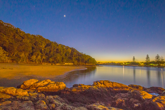 |
05:47 - I stop at a lookout near the mouth of the river watching Venus come over the horizon leading the sun at first light. The sky quickly brightens, soon becoming brighter than the street lighting reflecting off the forest of the headland. |
 |
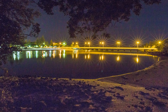
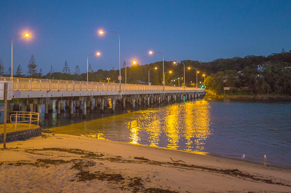
06:02 - I continue following the track towards the bridge as a gentle cold south easterly breeze ruffles the water. |
 |
06:09 - A solitary fisherman on the sandy beach beside the river as I cross the bridge. |
 |
06:10 - Once on the other side of the bridge, I follow the path above the river towards its mouth. |
 |
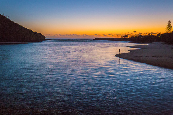
06:17 - Reaching Palm Beach, but I head out along the rock wall beside the river. |
 |
06:19 - Mouth of the Telebudgera Creek with Burleigh Head on the other side. |
 |
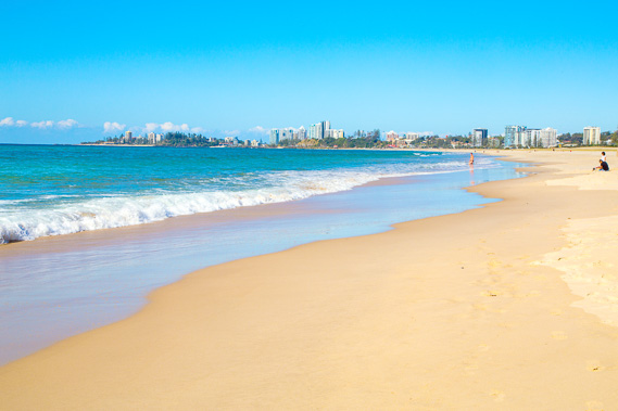
06:22 - Returning to the beach and starting to follow it towards Coolangatta in the distance. |
 |
06:26 - The sand is soft, so I follow the wide path above the beach. The pathway is continuous from where I left the beach at Southport all the way down to Point Danger. |
 |
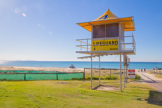
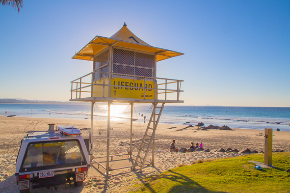
06:33 - Life tower 16 - just fifteen to go to Coolangatta. These towers are my countdown today. |
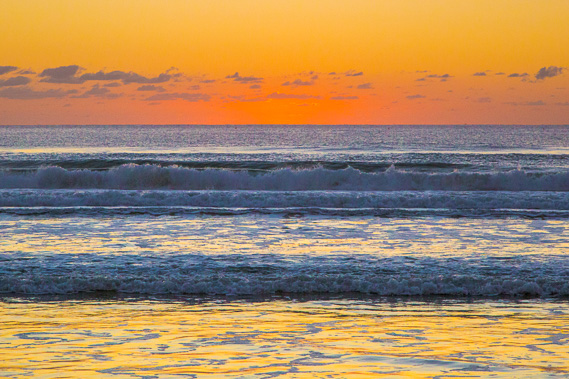 |
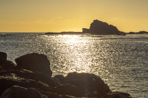
06:36 - The sun about to rise over the peaceful ocean. The ocean at these latitudes is quite calm throughout winter once the May/June westerlies have finished and before the August westerlies start. |
 |
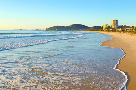
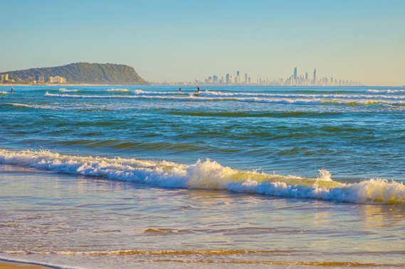
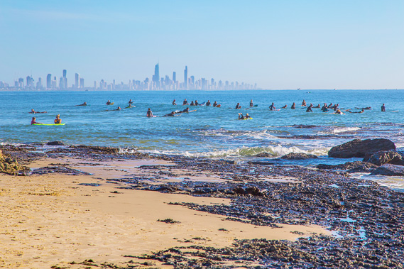
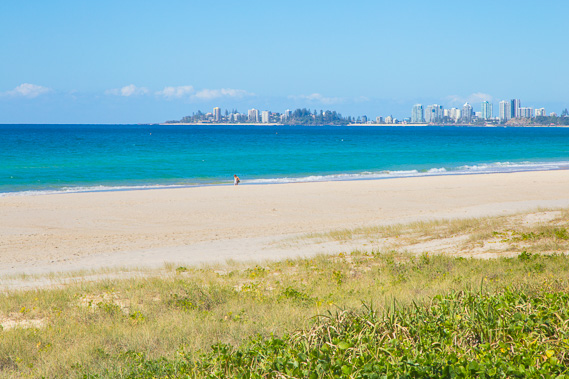
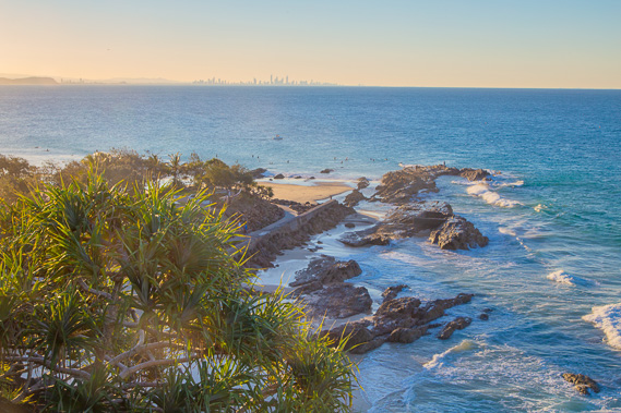
06:37 - Surfer's Paradise comes into view around the headland of Burleigh Head. |
 |
06:38 - The apartment towers of Coolangatta capture the first sunlight at sunrise. |
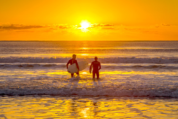 |
06:49 - Two surfers brave the mid winter chill to go surfing in the warm subtropical water. |
 |
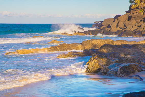
06:54 - Reaching a rock wall on the beach shortly after sunrise. Interestingly these rock walls cause the sand on either side of them to erode out to sea. I wonder if these rock walls, particularly the ones at the mouths of the rivers are contributing to all the sand erosion going on along the two Stradbroke Islands. |
 |
07:14 - The tide is coming in, so I head quickly down the beach from the rocks towards the next volcanic headland at Currumbin. |
 |
07:47 - The beach continues after the rock wall for another half an hour before I reach the next stream just before the big headland at the top of Palm Beach. |
 |
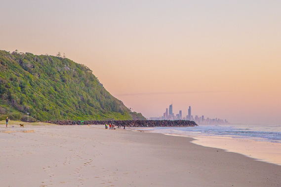
07:48 - Looking back to Burleigh Head and Gold Coast city from the rock wall. There are quite a few people out surfing out here. Apparently the conditions are ideal here even though the waves are small. |
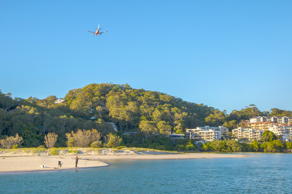 |
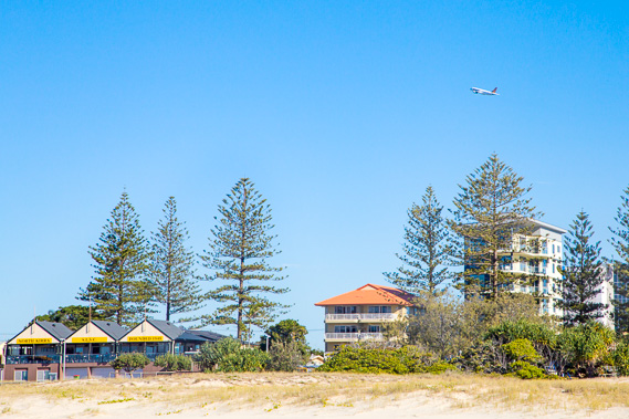
07:49 - A plane flies overhead on its approach to Coolangatta Airport as I start heading upstream along Currumbin Creek. |
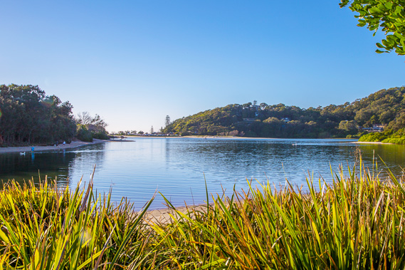 |
08:03 - Near the back of Currumbin Creek following a path along parkland. |
 |
08:30 - I cross a road bridge high above Currumbin Creek from where Burleigh Head and Surfer's Paradise can once more be seen. |
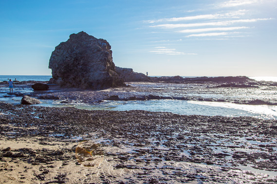 |
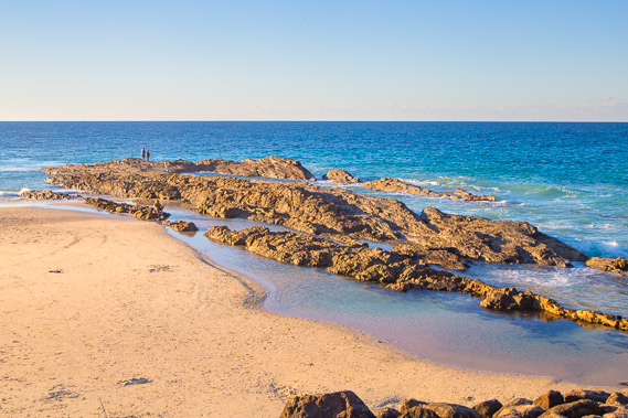
08:45 - Reaching the rock at the end of the Currumbin Headland. This is another erosion resistant formation in the great Tweed Volcano system. |
 |
08:46 - A lot of people are surfing here in this spot in the mid winter warmth. |
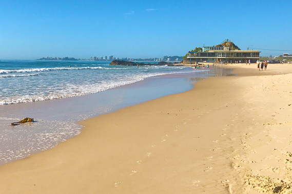 |
09:09 - Approaching Elephant Rock Cafe right on the edge of the water. it probably gets flooded a lot in stormy weather when heavy swells come in. |
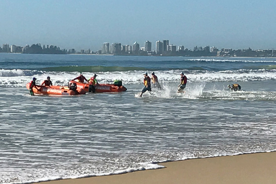 |
09:17 - I stop and watch a surf lifesaving team do a boat race as part of their weekly training when there aren't many swimmers around. |
 |
11:20 - After a couple of hours resting here I decide to continue heading along the beach on my final approach towards Point Danger. |
 |
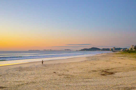
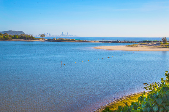
12:04 - I head back up to the path running above the beach. Zoomed in, Coolangatta is looking close now. |
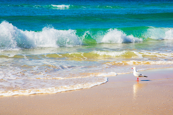 |
12:35 - At one point I decide to head back down to the beach. The tide is in, so the sand is soft. A seagull looks into the pristine water looking for food. |
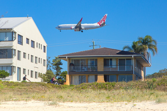 |
12:45 - A plane comes into land at Coolangatta Airport just a few hundred metres away. |
 |
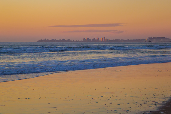
12:53 - Looking back in the early afternoon. The city looks hazy now. |
 |
13:21 - Coolangatta is getting close now. |
 |
14:12 - A plane takes off from the airport. The border between Queensland and New South Wales runs diagonally across the runway. |
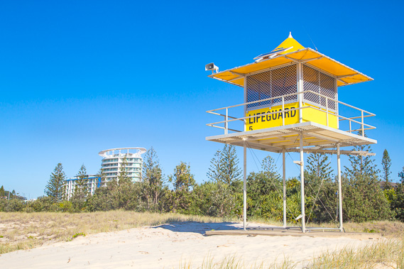 |
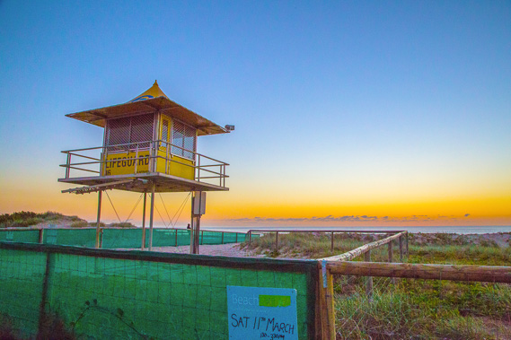
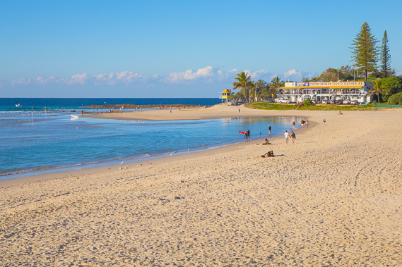
14:18 - Reaching lifeguard tower 5 at North Kirra - not far to go now. |
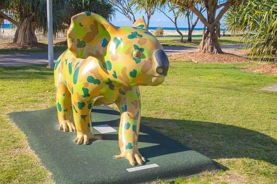 |
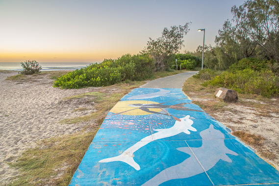
14:32 - The walkway follows a grassy park over a sandspit between the sea and the Tweed River as it approaches the Coolangatta headland. Here is an oversize statue of a koala in army camouflage. I would have passed thousands of these over the trek, but never saw any as they are incredibly elusive hiding way up in the trees. Sadly they are starting to become endangered now with the mass clearing of forest to make way for urban expansion of the cities. I may have also passed a few mythical closely related drop bears, but fortunately didn't come to any harm. |
 |
14:49 - Lifeguard tower number 4 with Surfer's Paradise now very distant under the strong afternoon sun. |
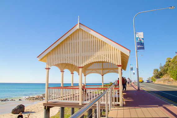 |
14:55 - A shelter along the walkway as it winds with the road around the rocky headland. |
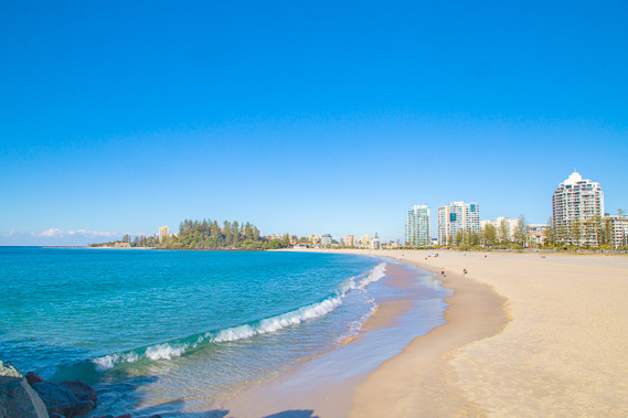 |
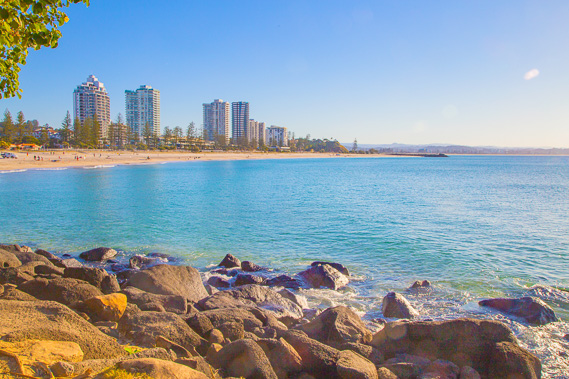
15:08 - Coolangatta Beach at the end of the walkway following the road around the headland. This is one of the nicest beaches on the coast, perhaps due to being north facing and sheltered like the beaches of the northern coasts of North Stradbroke and Moreton Islands. |
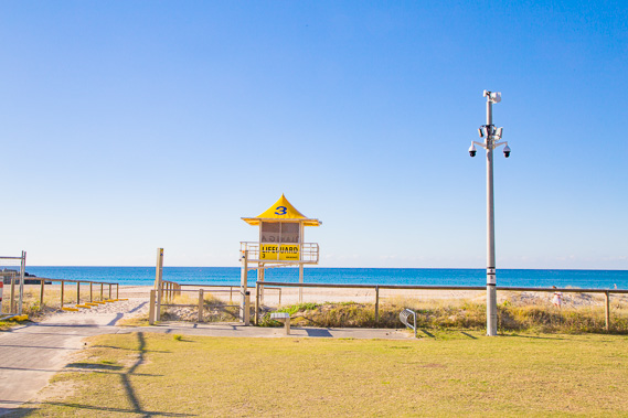 |
15:17 - I follow a path through the expansive parkland passing lifeguard tower number three. Just two to go. |
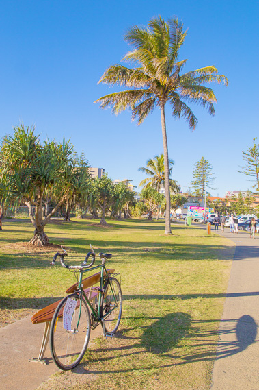 |
15:29 - Continuing through Coolangatta behind the beach passing a coconut palm, which are quite common here, and also a bike for sale strategically placed along the path. |
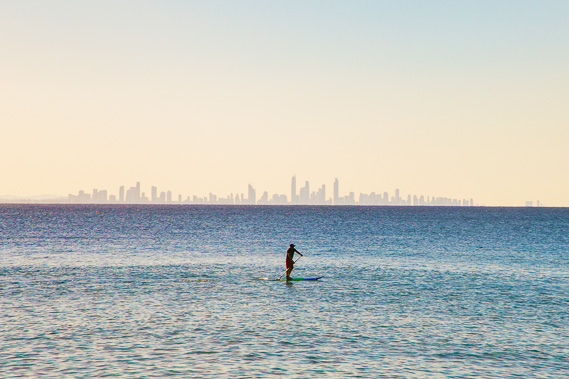 |
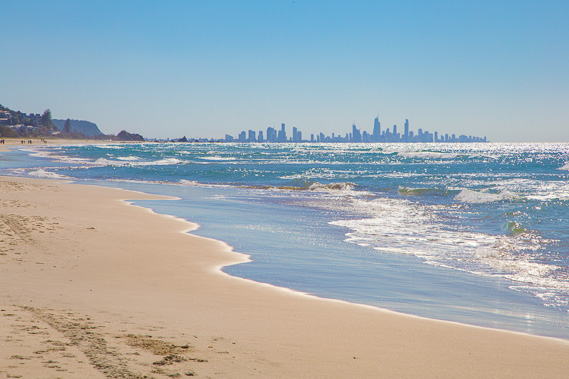
15:38 - A paddle boarder paddling the calm water under the jagged city profile on the horizon. |
 |
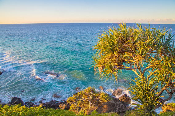
15:45 - Last view of Coolangatta Beach from the start of the volcanic headland making up Point Danger. These rocks are also part of the Tweed Volcano formation. |
 |
15:51 - Looking up to Snapper Rocks with a pub on the beach. |
 |
16:01 - The last lifesaving tower at the end of the last beach. I'm very close to my final destination now. |
 |
16:05 - The start of Snapper Rocks. |
 |
16:13 - Frog Rock viewed from Snapper Rocks. |
 |
16:15 - Snapper Rocks headland from the track as I head up towards Point Danger. |
 |
16:30 - Looking back to Snapper Rocks as I head up the steep track to above the cliffs at Point Danger. Here I'm nearly at the top with Burleigh Head and Surfer's Paradise visible in the distance. North Stradbroke Island has now slipped beneath the horizon. |
 |
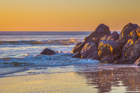
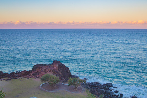
16:42 - Above the cliffs near Point Danger close to sunset. |
 |
17:00 - The rocky outcrop of Point Danger at sunset. Queensland is to the North (the left), New South Wales is to the south, and offshore, The Coral Sea extends to the north from here and the Tasman Sea to the south. |
 |
17:01 - The Point Danger lighthouse, the start point of the trek 52 days ago and my final destination. I am just metres away now. |
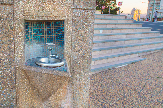 |
17:02 - The last of many hundreds of drinking fountains along my hike. The countless parks I passed in the built up areas of Rainbow Beach, Sunshine Coast, Brisbane, Logan and the Gold Coast served me very well in keeping hydrated. |
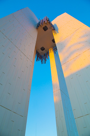 |
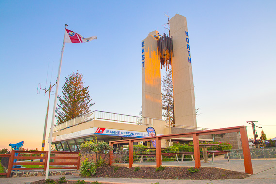
17:03 - Looking up the very modern looking lighthouse. Point Danger was named by Captain Cook due to the dangerous reefs offshore (he also named Mount Warning as a reminder of the treacherous coast). This lighthouse now warns of the danger. |
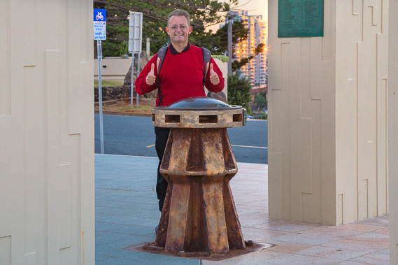 |
17:04 - I have reached my destination right on sunset - Queensland on the sandstone tiles to the right and New South Wales on the grey tiles to the left. I'm standing in two states of Australia at the same time and at my final destination having finished the long 1096 kilometre trek of the South East Queensland Coast. |
|