|
||||||||||||||||||
|
||||||||||||||||||
Home > Diaries > 2000 > 10 |
||||||||||||||||||
|
||||||||||||||||||
|
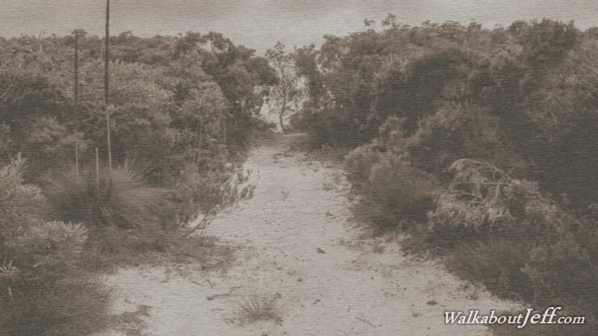
THE MORNING dawned overcast but the rain had long stopped falling. After giving the tent a couple of hours to dry out, I packed it up and ventured southward passing the entrance to Blue Lagoon another kilometre to the inland Blue Lagoon - Bulwer Road. This was a sand track which initially followed a wide flat valley of heathland swamp before rising along the hills on the southern side to a viewpiont over Honeyeater Lake, a small version of Blue Lagoon. This was the start of a long uphill along the soft sandy vehicle track rising to 120 metres above sea level to the top of the range. Several vehicles passed me as I hiked along the track. I stopped upon reaching the top of the range. Here the Telegraph Track along the top of the range southward to Mount Tempest ended. From the junction I headed northward following the road along the top of the range gradually descending until it entered a low valley down to the edge of the swamp behind Bulwer. Here it reached a junction where I turned left heading towards Bulwer. It was early afternoon when I reached Bulwer village. I stopped at the general store to buy lunch and a few supplies before heading out to the beach and walking northward along the beach to Comboyuro Camping Ground. Here I set up the tent as the cloud started clearing. Later in the afternoon I headed back out onto the beach where the cloud had mostly cleared to a sunny late afternoon. I could just make out a couple of the high rises in the Brisbane City centre and one building in Redcliffe. I sat on the beach to watch the sun set before turning in for the night. |
||||||||||||||||||
|
||||||||||||||||||