|
BETWEEN Spitfire Creek and the cape hills is an area of exposed sand hills with almost no forest coverage. I decided to spend the day exploring these hills despite the sky still being overcast.
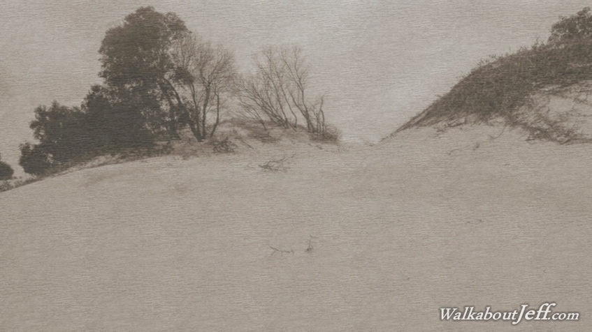
I headed back out onto the beach and followed it up to Spitfire Creek, where I found a good entrance up to the exposed sandhills. A sand spur led up the sand hills and I followed this up to its crest where it was advancing on the forest below on the other side. I followed the top of the crest spotting a distinctive pattern of a snake, probably a taipan, in the sand. The track was very recent, perhaps only a couple of hours old. I continued following the crest for a few more minutes but stinging rain started falling, so I turned around and headed back towards Spitfire Creek.
The rain had briefly stopped falling by the time I had returned to the creek, but it was going to start falling again, so I started to return to the camp. Upon returning to the camping ground the people in the next camp told me a wild pig had been sniffing around my tent, but upon examining it, nothing was amiss. There must be a lot of pigs on the island as I had seen a couple up on the sandhills. These had been introduced by some of the early European settlers so people being shipwrecked here could hunt them and eat their meat until they were rescued.
|