Introduction to today's journey
Gympie's origins trace back to the discovery of alluvial gold by James Nash starting the gold rush establishing the region's destiny. The rapidly growing gold mining town was initially called Nashville, but soon renamed Gympie from the local Gubbi Gubbi word "gimpi-gimpi", a broadleaf tree considered one of the most venomous stinging plans delivering a potent and very painful neurotoxin when touched. The discovery of gold in the area not only brought local prosperity but also saved the state of Queensland from bankruptcy. Gympie's history is today preserved in its heritage buildings and has continued to prosper from not only its past gold rush, but also the area's rich agriculture and timber industries.
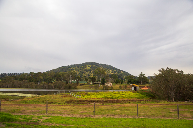
Today's journey heads north from Brisbane passing through the Sunshine Coast and continuing north to Gympie. Here I explore the River to Rail Trail through the historic town, the Mary River and the remnants of the old railway line and gold mining fields before heading further north to Cooloola.
Today's Journey
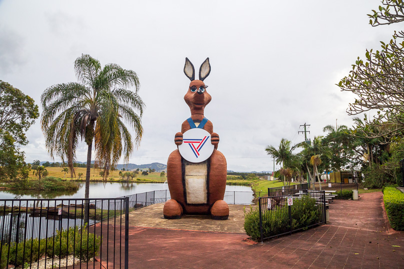 |
After travelling through the Sunshine Coast hinterland, my first stop is at Traveston where overlooking a small lake is the large Matilda kangaroo used as the mascot at the 1982 Brisbane commonwealth games. |
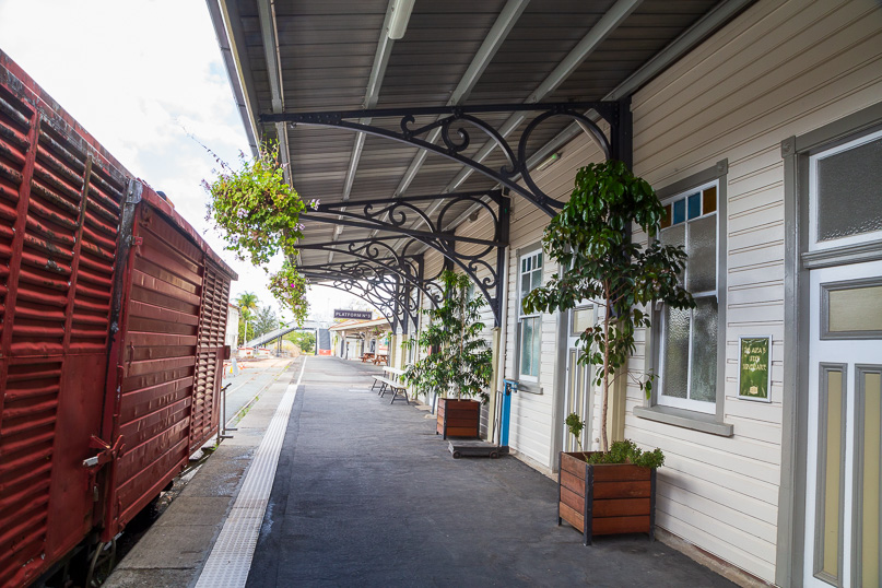 |
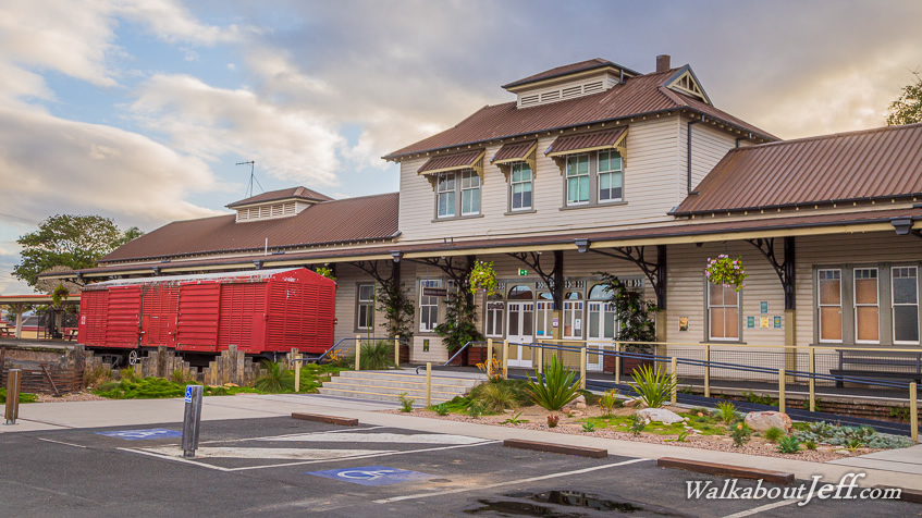
I continue another 25 kilometres to the historic Gympie. Here I stop at the old railway station to begin hiking the new River to Rail Trail circuit. |
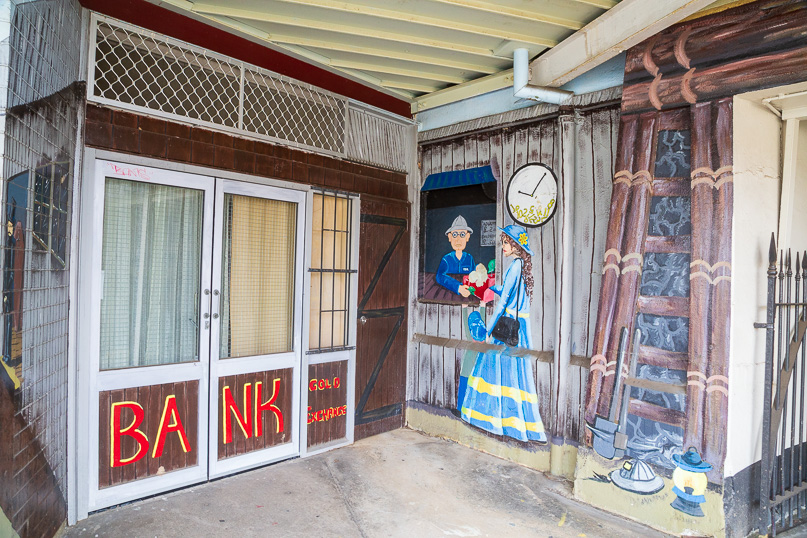 |
Some of the buildings behind the station are painted with historic murals as a reminder of the town's gold mining days. |
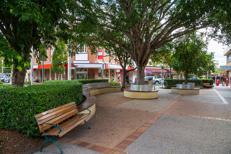 |
The trail continues down the hill into the peaceful town centre well landscaped though prone to flooding. |
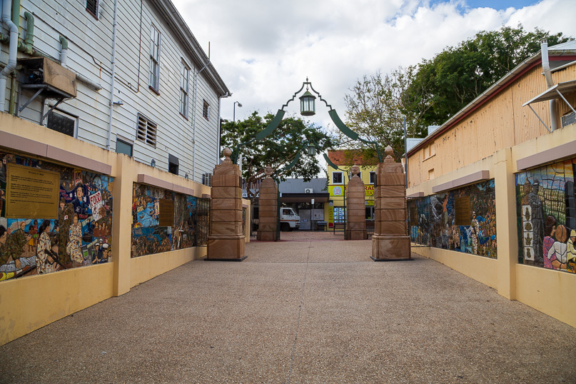 |
An alley leads from the main street through a war memorial. |
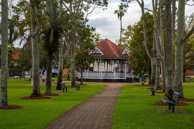 |
Once through the memorial, I explore Memorial Park with more memorials in the long established gardens. |
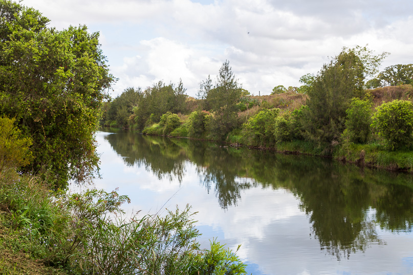 |
Continuing along the trail, I descend further to Nelson Park sports grounds before reaching the placid Mary River, draining the hills behind the Sunshine Coast hinterland before continuing northward to here. Although the river is calm now, it frequently floods making Gympie a very flood prone area. |
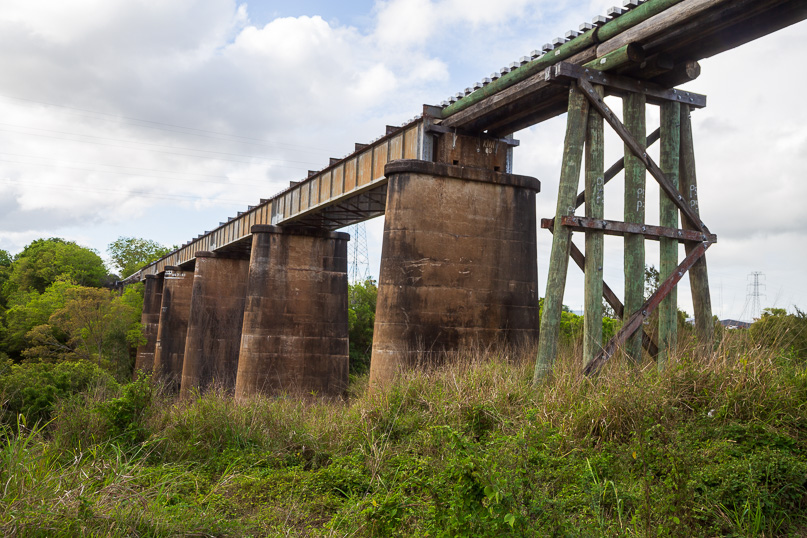 |
After following the river downstream about two kilometres, the track follows a stream famous for its gold mining in the 1800s. After following it upstream for about a kilometre I pass under the bridge of the old railway line. |
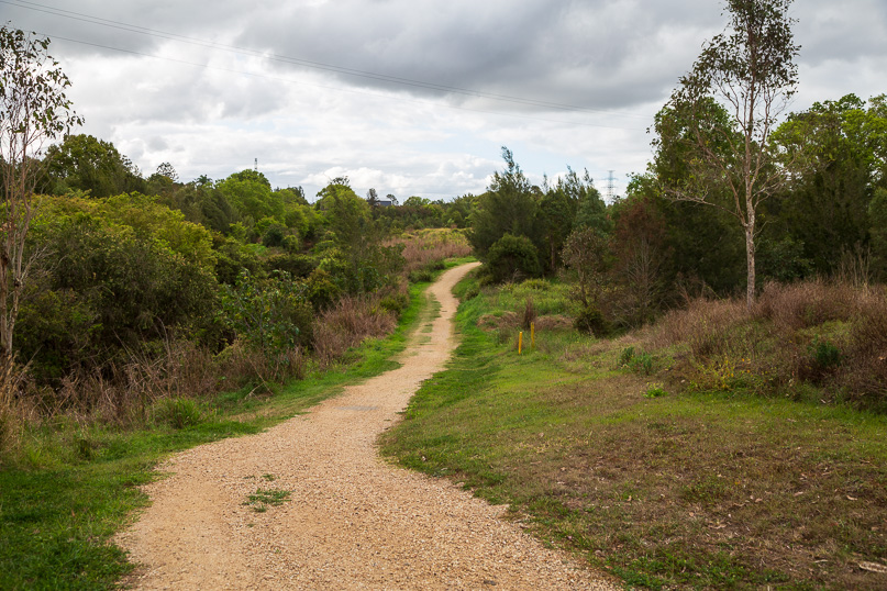 |
The well graded track continues upstream in the quiet acreage land just east of the town. The track is the main route the gold miners followed to access different parts of the nearby creek to try their luck. |
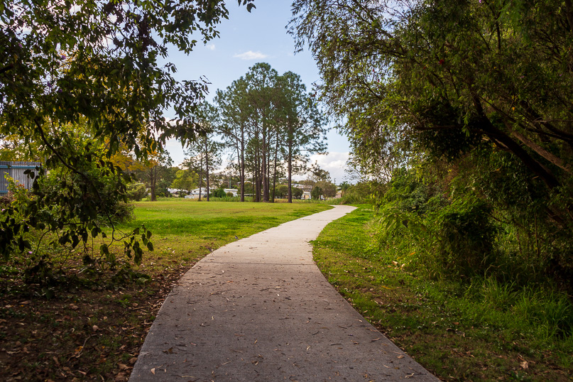 |
It then turns westward heading through the town following concrete paths through parkland |
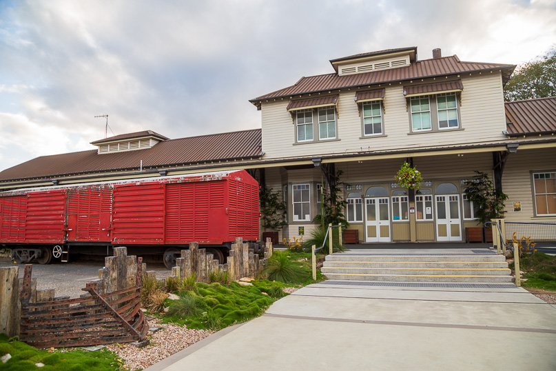 |
The seven kilometre circuit eventually returns to the old railway station. |
 |
From Gympie, I continue north along Tin Can Bay Road, turning off to follow Rainbow Beach road to Cooloola where I stay the night. |
|