Introduction to today's journey
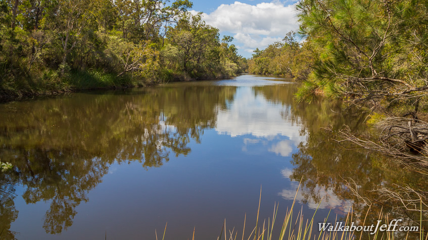
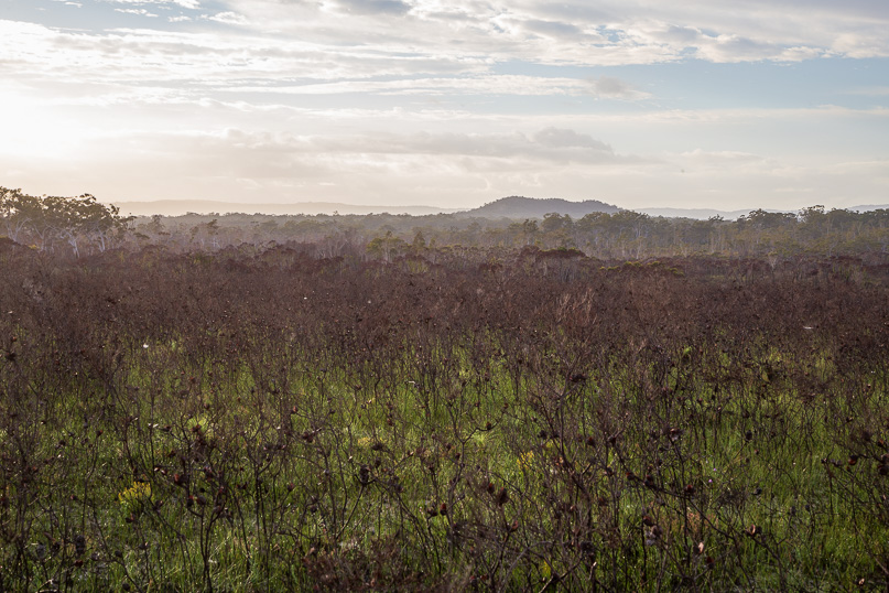
Nestled in a remote corner of the Great Sandy National Park, Neeb's Waterhole is a serene oasis hidden in the upper reaches of the Noosa River. The waterhole offers a secluded bush camping experience in this remote area. Here the tannin stained waters reflect the surrounding fauna of scribbly gum and wallum heath. Far from civilisation, the only sounds out here are the choruses of friarbirds and honeyeaters carried across the still waters of this pristine waterhole.
Today's journey heads starts at Mullen's Car Park following the Cooloola Wilderness Trail down to cross several channels of the headwaters of Teewah Stream before rising to cross a plateau, then dropping to Neeb's Waterhole, the permanent source of the Noosa River. I head to the camping ground at the lower waterhole before returning to Mullen's.
Today's Journey
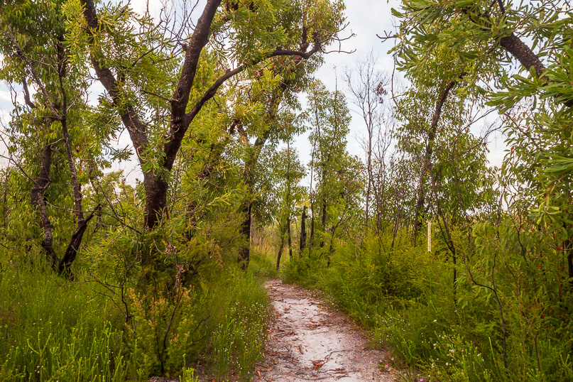 |
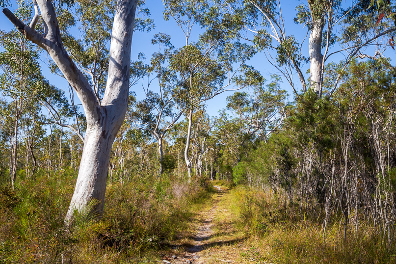
Starting from Mullen's Carpark near Cooloola village just after sunrise, I follow the sandy track down the hill through the scrubby heathland forest. |
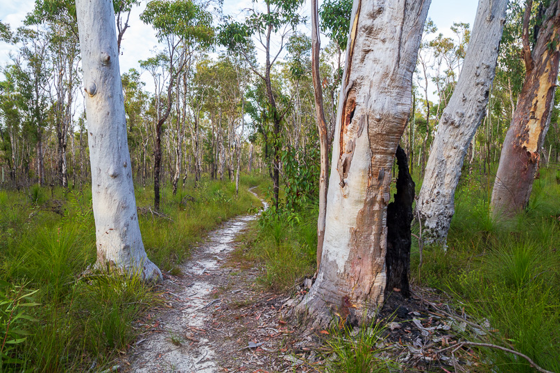 |
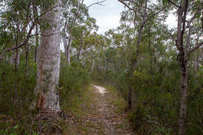
The trail quickly descends to an enormous sandy plain from where huge pale ghost gums rise magnificently through the scrub. The meandering trail passes many of these amazing trees. |
 |
The track crosses the three streams of the headwaters of Teewah Creek, heading northward, then eastward to eventually join the Noosa River near the Cooloola Sandblow. |
 |
I rise from the headwater streams to a scrubby plateau with my first glimpse of the Cooloola Sandmass in the distance under the morning sun. |
 |
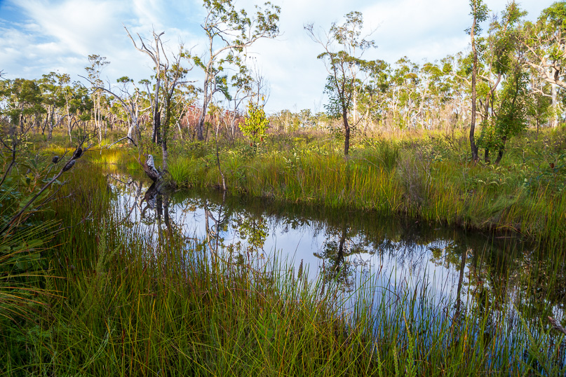
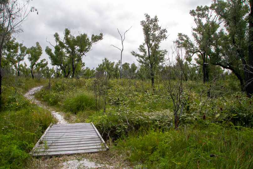
After crossing the plateau and following a low ridge, the track descends into scrubby forest following a little above a swamp. |
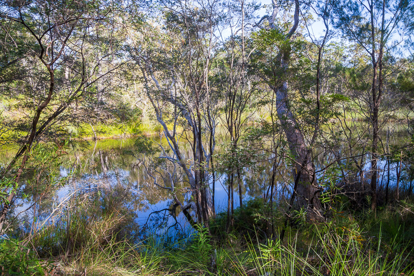 |
After another short descent, I reach the top of Neeb's Waterhole, the permanent source of the Noosa River. |
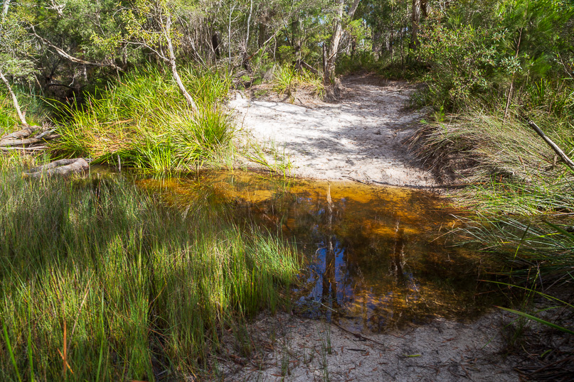 |
After following the waterhole downstream for fifteen minutes I reach the tiny ford of the Noosa River, much smaller than the Noosa River I'm familiar with downstream. |
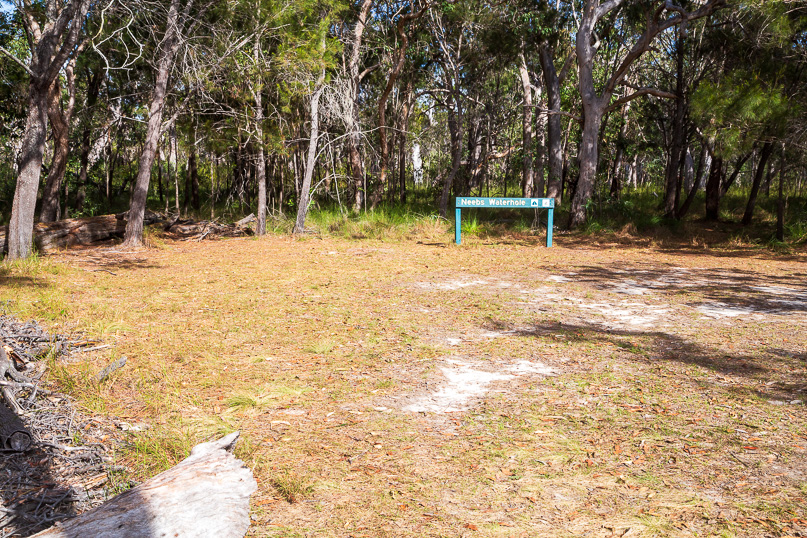 |
Shortly after the ford I reach Neeb's Waterhole campground, where I relax for the middle of the day overlooking the lower waterhole pictured at the top of this page. |
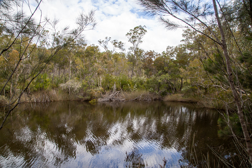 |
Looking across the waterhole, cloud begins to fill the sky as I begin retracing my steps back to Mullen's Carpark. |
 |
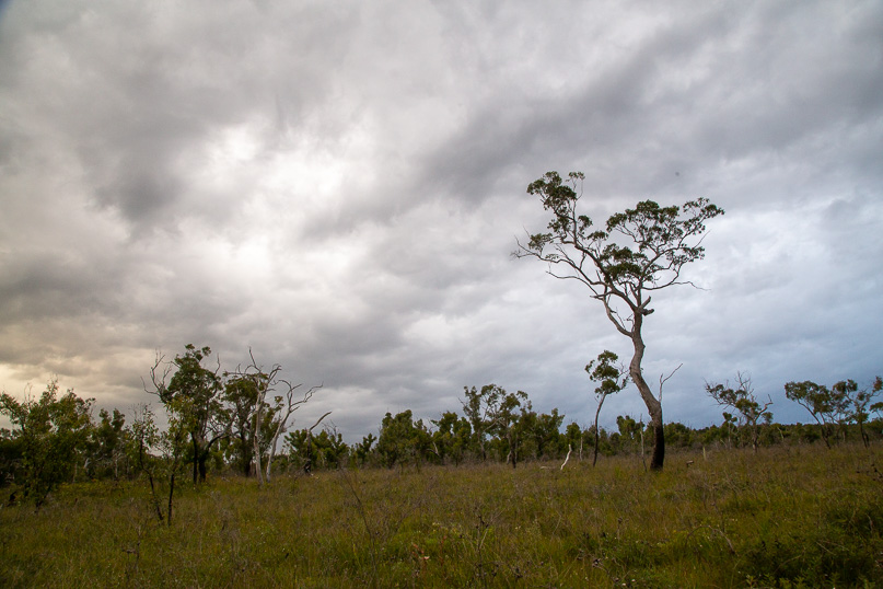
The cloud thickens as I approach the ridge leading up to the plateau. |
 |
Crossing the last bridge of the Teewah Stream headwaters before rising along the last hill back to Mullen's. |
 |
The clouds thicken and rain stars falling just as I return to the end of the trail at Mullens. |
|