Introduction to today's journey
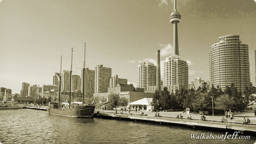
PROUDLY standing on the northern shores of Lake Ontario is Toronto, Canada's most populated city and the capital of the province of Ontario. Its skyline is dominated by the CN tower, the tallest free standing structure in the Western Hemisphere. Originally named York in 1793, the area was set up as a British colony relatively safe from invasion from the United States. The Battle of York in 1813 resulted in the town being captured by the US who destroyed all the government buildings. In 1834 York was renamed Toronto as part of the formation of Canada. The city quickly grew due to being very attractive to immigrants. Although Canada's capital was soon moved to Ottawa, Toronto has since remained Canada's largest city (nearly two million people) and its financial centre.
Today's journey begins by crossing Rainbow Bridge into Canada and exploring the Niagara Falls from the Canadian bank of the river, and on a boat ride in the river. From Niagara Falls, we follow the shore of Lake Ontario before reaching Toronto, where I explore the financial district, the large harbour, and the aquarium in the city centre.
Today's Journey
View full content...
|