Facebook    YouTube   
 

| Home | Photography | Diary | Treks |

 
PreviousNext

Eastern Canada

Eastern Canada
Home > Travels > Eastern Nth America > Eastern Canada


About this Page

Date:


Location:

Country:


Latitude:

Longitude:

Altitude:

September


Niagara to Quebec

Canada


43-47°N
71-79°W

0 - 215m ASL


Google Maps Link


NORTH of the St Lawrence River and Great Lakes is Canada, the world's second largest country stretching northward well into the Arctic. Almost all of Canada's population live close to the relatively mild southern border, making for a relatively easy itinerary following the St Lawrence River downstream from Niagara Falls. The eastern state of Quebec is the largest French speaking area outside of France.

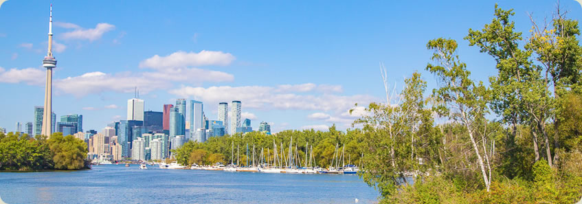
This journey begins by crossing Rainbow Bridge at Niagara Falls into Canada. After exploring the falls, we head around Lake Ontario into Toronto, Canada's largest city. From there we continue around the lake to where it drains into the St Lawrence River at the well named 1000 Islands. Heading downstream, we divert northward to the capital City Ottawa before venturing onto Montreal. From there we return to the river and follow it to its mouth at the quaint Quebec City. From there we cross the river and head back into the United States towards Boston.


Day 6 - Niagara Falls to Toronto

PROUDLY standing on the northern shores of Lake Ontario is Toronto, Canada's most populated city and the... more...


Day 7 - Toronto to Montreal

OTTAWA is the where the Canadian government is based. It reminds me very much of Canberra having a... more...


Day 8 - Quebec City

THE EASTERN side of Canada is the most populous French speaking region outside of France. Over the fifteenth... more...


PreviousNext


| Home | Photography | Diary | Treks | Archive |

 
© 2001-2020 walkaboutjeff.com - Copyright - Disclaimer - Who is Walkabout Jeff?