|
I RETURNED to Moreton Island crossing Moreton Bay. The greenish brown waters over the mud flats on the city side of the bay gradually gave way to the cleaner pristine blues over submerged golden sand banks.
Near the island the sand banks gave way to the deep channel which the Brisbane River once flowed northwards towards its mouth over the Sunshine Coast during the last ice age when sea levels were 120 metres lower than they are now.
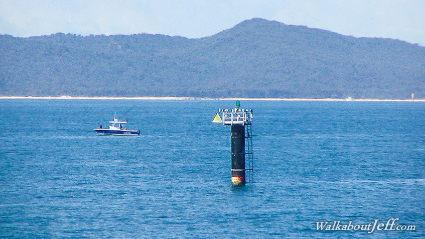
The ships heading into Brisbane follow the channel in between the navigation markers passing close to Moreton Bay with its high sand hills rising to over two hundred metres, the highest of which is Mount Tempest at 280 metres high, the world's highest sand hill.
|