|
||||||||||||||||||
|
||||||||||||||||||
Home > Diaries > 2007 > 111 |
||||||||||||||||||
|
||||||||||||||||||
|
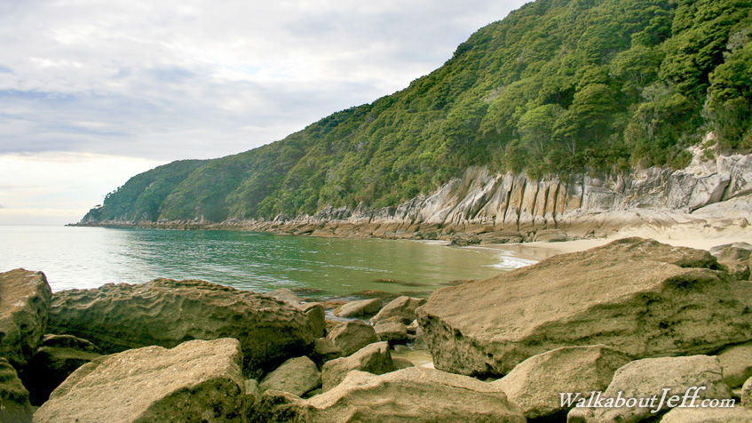
THE SOUTHERN end of Tonga Roadstead in the Abel Tasman National Park is flanked by Foul Point, where heavy swells often break. The turquoise waters break on the tiny beaches in between the huge boulders that span from Tonga Quarry out to the point. This part of the bay is broken only by Arch Point where the sea has eroded caves through the rock big enough to easily walk through to get this spectacular view of this remote corner of the park. Blog from today: Trek from today: |
||||||||||||||||||
|
||||||||||||||||||