|
||||||||||||||||||
|
||||||||||||||||||
Home > Diaries > 2007 > 114 |
||||||||||||||||||
|
||||||||||||||||||
|
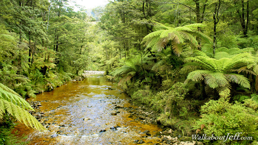
FOLLOWING a day or rain which had just cleared, the Torrent River had more water than usual going from bank to bank across the flat stone surface. The Torrent River is one of the main watersheds draining the Pikikiruna Range into Tasman Bay. The hill on either side of the river was covered in black beech forest with its distinctive honeydew smell. Large treeferns created a middle canopy with their glorious crowns blocking out most of the sunlight from the dank forest floor. Blog from today: Trek from today: |
||||||||||||||||||
|
||||||||||||||||||