|
||||||||||||||||||
|
||||||||||||||||||
Home > Diaries > 2009 > 179 |
||||||||||||||||||
|
||||||||||||||||||
|
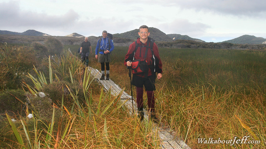
STEWART Island is covered in rugged hills and low mountains making it too rugged to settle. The island is split into two, with Patterson Inlet extending over two thirds of the way through the break in the middle. The remaining third contains flat land to the coast at Mason Bay. Rain falls here on two out of every three days here on Stewart Island. The very wet climate means the flat land is very swampy. It is called Chocolate Swamp after the dark mud that extends over large areas here. Most of the mud is covered by a sea of reeds. A high boardwalk crosses the swamp making for quick and relatively dry progress for hikers negotiating the swamp. Blog from today: Trek from today: |
||||||||||||||||||
|
||||||||||||||||||