|
||||||||||||||||||
|
||||||||||||||||||
Home > Diaries > 2013 > 319 |
||||||||||||||||||
|
||||||||||||||||||
|
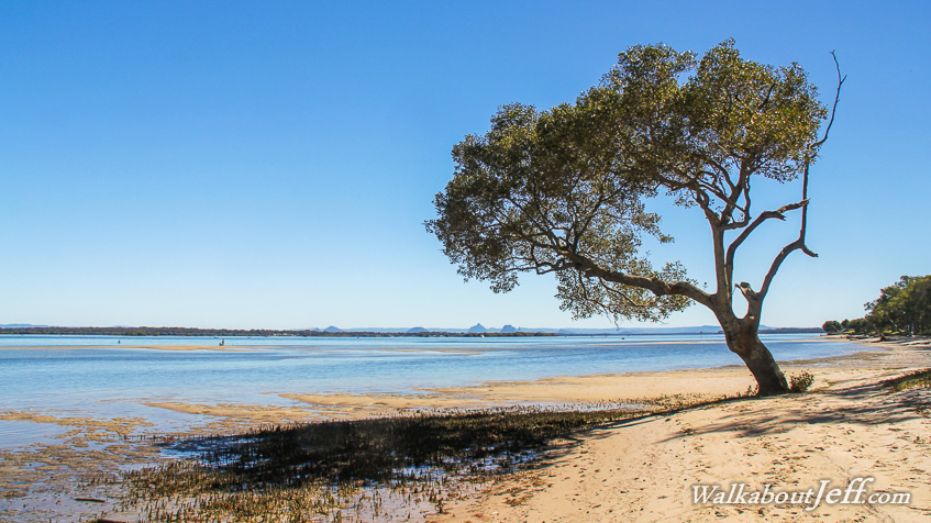
LONE tree over Pumicestone Passage, Bribie Island . As the tide silently drifts out over the Pumicestone Passage, a solitary mangrove tree grows in the sand on Bribie Island, a large flat sand island at the mouth of Moreton Bay. Sand bars poke out above the water from where the odd person drops a their fishing line into the deeper waters of the main channel. Across the other side of the passage the strange obelisks of the Glasshouse Mountains rise precariously into the sky. |
||||||||||||||||||
|
||||||||||||||||||