|
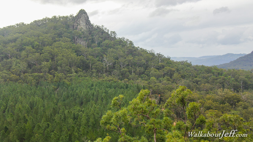
VIEWED from the Jack Ferris lookout on the Trachyte Range, Mount Tiberoowuccum stands as a solitary hill near the base of Mount Tibrogargan. The hill is covered in gum forest. An enormous towering rock offset from the top of the domed hill.
Rainclouds loom overhead. This is the top end of a huge frontal system bringing massive blizzards to the Snowy Mountains about 1200 kilometres to the south. Fortunately here in the subtropics where snow is unheard of, this weather system is mild and humid providing a break from the cold, clear mornings we have recently been experiencing.
|