|
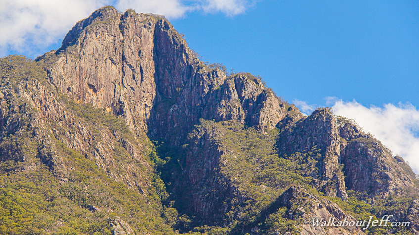
TOWERING over the parched forests, Mount Barney is the deeply scarred remains of a 2400 metre high shield volcano that erupted around 24 million years ago. The soft rock of the volcano has eroded away leaving only the tough rock solidified deep in the volcano. This includes Mount Barney at the centre of the volcano, now standing at 1354 metres high in a remote corner of Queensland's South East.
I followed the upper reaches of the Logan River in the narrow gorge in between Mount Barney and Mount Earnest. It was the driest time of year, so only a trickle ran down valley passing enormous boulders brought down by massive floods in storms past. The trickle ran several kilometres beside the trail between crystal clear rock pools hidden in the beautiful rainforest clinging to the bottom of the precipitous gorge.
|