|
||||||||||||||||||
|
||||||||||||||||||
Home > Diaries > 2015 > 422 |
||||||||||||||||||
|
||||||||||||||||||
|
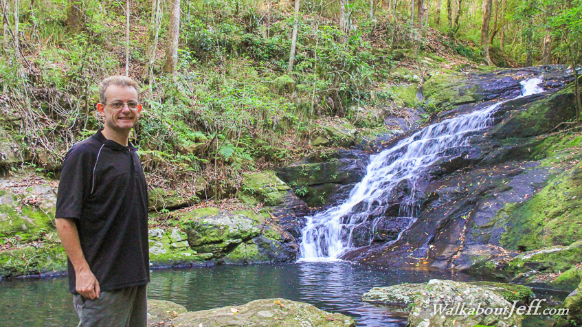
I STARTED the morning at the tranquil Picnic Creek before the sun was too high and before the crowds. It was a very peaceful start to the day exploring the cascading creek. Heading to the Kondalilla Falls Circuit, I reached the rock pool above the falls before descending the gradually inclining trail on the other side to follow the rather overgrown Sunshine Coast Great Walk to as far as the Obi Obi Creek, where the gorge comes out. Having reached that point meant I have now completed the first leg of the great walk. From there I returned to Kondalilla Falls, staying on the great walk to the base of the waterfall, where quite a crowd had gathered. I ascended the falls along the zig-zag track and steep steps to eventually return to my starting point at Picnic Creek. Blog from today: |
||||||||||||||||||
|
||||||||||||||||||