|
||||||||||||||||||
|
||||||||||||||||||
Home > Diaries > 2015 > 471 |
||||||||||||||||||
|
||||||||||||||||||
|
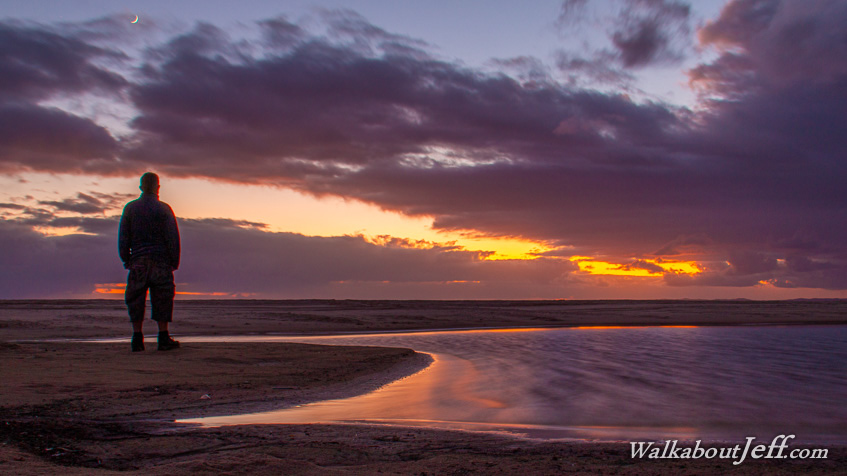
HIKING north from Woorim in the very early morning I reached Norfolk Creek in time for sunrise. A low wave and wind generated dune blocked the stream from the sea. Although conditions looked stormy, the weather quickly cleared as I returned towards Woorim and followed the southern coast of the island to the calm waters of Pumicestone Passage. |
||||||||||||||||||
|
||||||||||||||||||