|
||||||||||||||||||
|
||||||||||||||||||
Home > Diaries > 2015 > 481 |
||||||||||||||||||
|
||||||||||||||||||
|
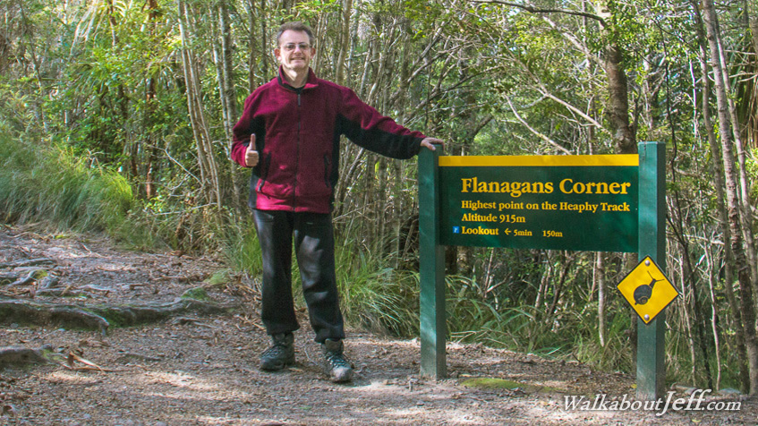
FLANAGAN'S Corner marks the highest point of the Heaphy Track. At 915 metres above sea level it is nestled amongst mountain beech forest high above the thundering Aorere River and under the jagged peaks of the Tasman Mountains. From here there is a descent of 775 metres down to the end of the track at Brown Hut, where the mountain beech forest will gradually change to Black Beech, then Rimu Forest until eventually reaching the river. Blog from today: Trek from today: |
||||||||||||||||||
|
||||||||||||||||||